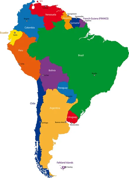
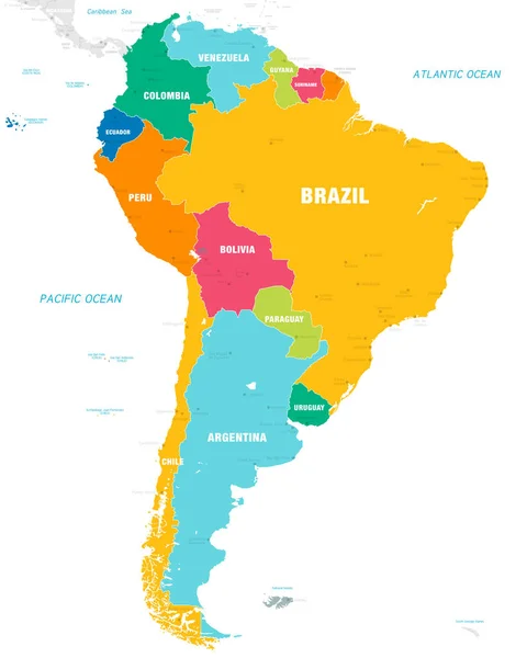
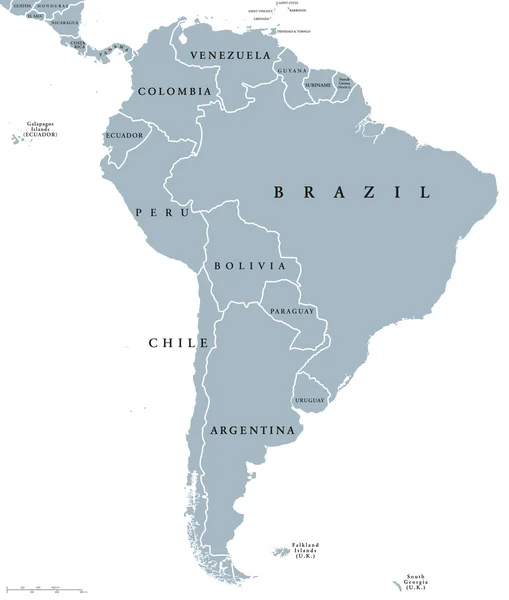
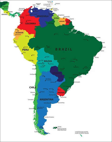
Stock vector South America geographical regions, multi colored political map. Four main regions of the continent, Caribbean South America, the Guianas, Andean States, Brazil and the Southern Cone of the continent.

Published: Jun.26, 2024 06:44:44
Author: Furian
Views: 2
Downloads: 0
File type: vector / eps
File size: 4.28 MB
Orginal size: 6000 x 7368 px
Available sizes:
Level: silver