photo free
Home Images Vectors Videos

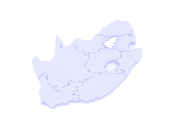
Stock image Gauteng Province page 2

stock image City of Pretoria Skyline, South Africa

City Of Pretoria Skyline, South Africa

Image, 7.14MB, 4241 × 2815 jpg
stock image Physical map of the world, satellite view of South Africa. Globe. Hemisphere. Reliefs and oceans. 3d rendering. Element of this image are furnished by NASA

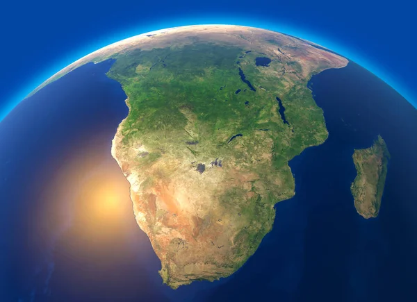
Physical Map Of The World, Satellite View Of South Africa. Globe. Hemisphere. Reliefs And Oceans. 3d Rendering. Element Of This Image Are Furnished By NASA

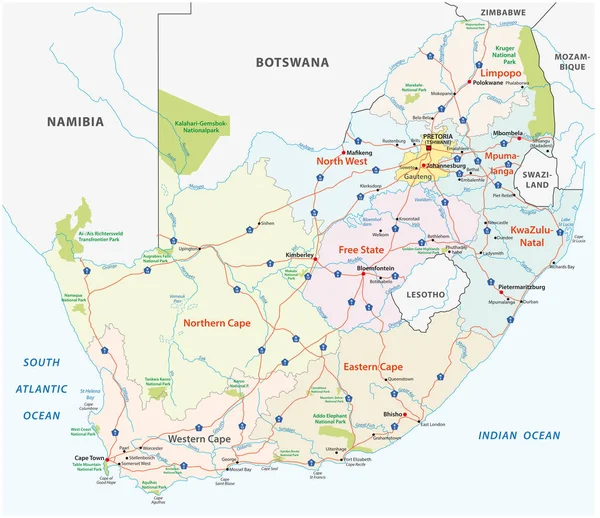
Image, 8.47MB, 5511 × 4000 jpg
stock vector South Africa road map

South Africa Road Map

Vector, 1.45MB, 4713 × 4070 eps
stock vector South Africa region silhouettes set and blank map of the country isolated on white background. Vector illustration design

South Africa Region Silhouettes Set And Blank Map Of The Country Isolated On White Background. Vector Illustration Design

Vector, 1.8MB, 4600 × 3200 eps
stock vector Symbol Map of the Province Gauteng (South Africa). Abstract map showing the state/province with horizontal parallel lines in rainbow colors

Symbol Map Of The Province Gauteng (South Africa). Abstract Map Showing The State/province With Horizontal Parallel Lines In Rainbow Colors

Vector, 0.58MB, 5837 × 6000 eps
stock vector Symbol Map of the Province Gauteng (South Africa). Abstract map showing the state/province with a pattern of overlapping colorful squares like candies

Symbol Map Of The Province Gauteng (South Africa). Abstract Map Showing The State/province With A Pattern Of Overlapping Colorful Squares Like Candies

Vector, 0.71MB, 5837 × 6000 eps
stock image Caves at the Cradle of Humankind, South Africa

Caves At The Cradle Of Humankind, South Africa

Image, 0MB, 5616 × 3744 jpg
stock vector South Africa, gray political map with nine provinces, with largest cities, and borders. Republic and southernmost country in Africa, with the three capitals Pretoria, Cape Town and Bloemfontein.

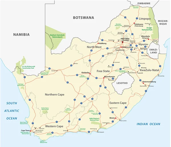
South Africa, Gray Political Map With Nine Provinces, With Largest Cities, And Borders. Republic And Southernmost Country In Africa, With The Three Capitals Pretoria, Cape Town And Bloemfontein.

Vector, 2.55MB, 6000 × 6000 eps
stock image Map of Gauteng (Johannesburg). South Africa.

Map Of Gauteng (Johannesburg). South Africa.

Image, 0.93MB, 5600 × 4200 jpg
stock image The coat of arms of Pretoria. South Africa

The Coat Of Arms Of Pretoria. South Africa

Image, 5.37MB, 4000 × 4979 jpg
stock vector south africa road, administrative and political vector map

South Africa Road, Administrative And Political Vector Map

Vector, 1.91MB, 4733 × 4091 eps
stock vector Isolated waving flag of Gauteng is a province South Africa on white background.

Isolated Waving Flag Of Gauteng Is A Province South Africa On White Background.

Vector, 8.25MB, 6400 × 4000 eps
Previous << Page 2 >> Next