
Stock image Geodetic Surveying page 2

Professional Surveying Stations For Measuring The Angle And Distance Outdoors, Precisely Modern Equipment
Image, 6.4MB, 5000 × 3332 jpg
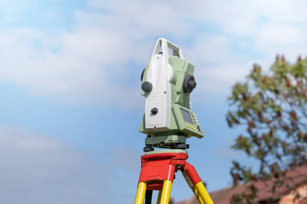
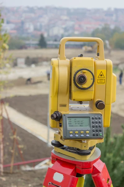
Geodetic Total Station Measures Distances And Angles For The Preparation Of Map Data
Image, 6.37MB, 5500 × 3667 jpg

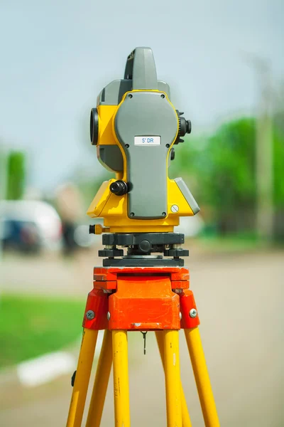
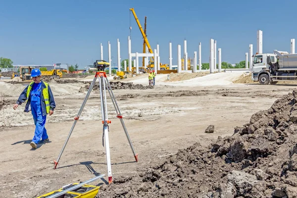
Front Of Surveyors Equipment (theodolite Or Total Positioning Station) On The Construction Site Of The Road Or Building With Construction Machinery Background
Image, 13.76MB, 7952 × 5304 jpg

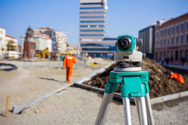
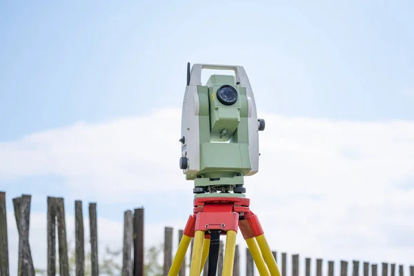
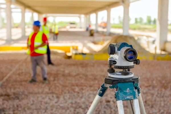
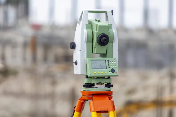
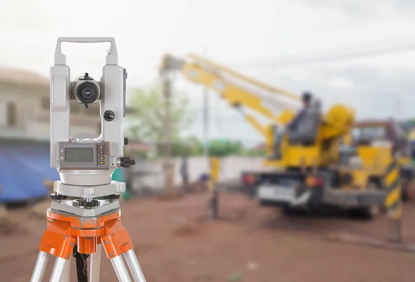
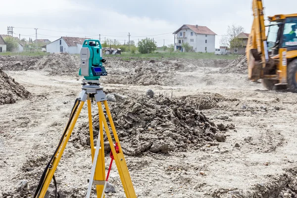
Geodetic Total Station On The Construction Site Against Blurred Machinery At The Background
Image, 1.64MB, 4032 × 3024 jpg
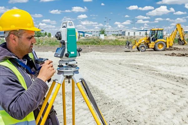
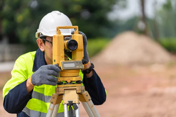
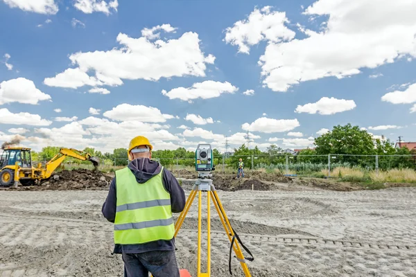
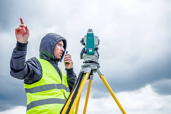
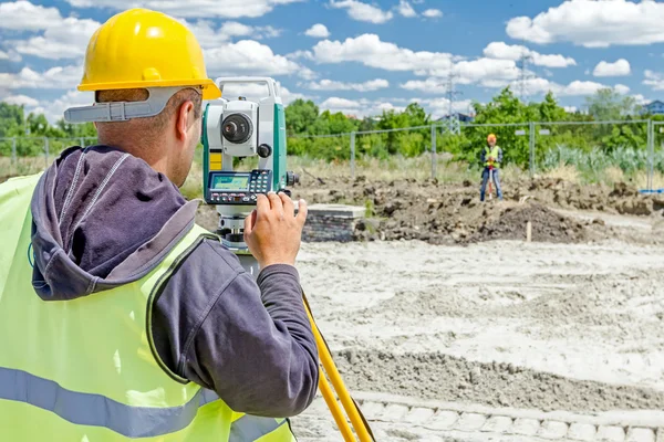
Surveyor Civil Engineer Using Equipment Theodolite Or Total Positioning Station On The Construction Site.
Image, 15.44MB, 7952 × 5304 jpg
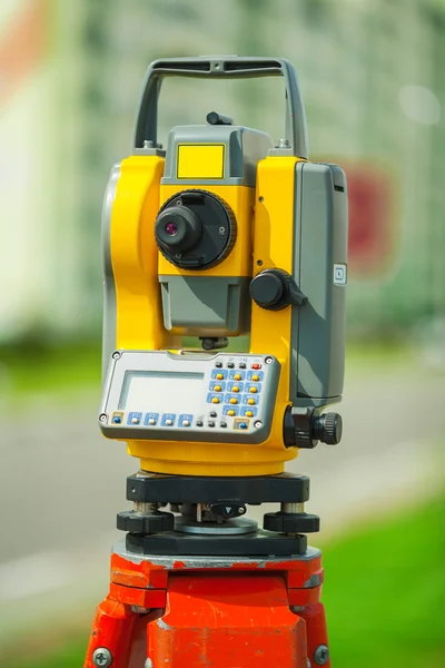
Surveyor Instrument Is For Measuring Level On Construction Site. Surveyors Ensure Precise Measurements Before Undertaking Large Construction Projects.
Image, 6.22MB, 5184 × 3456 jpg


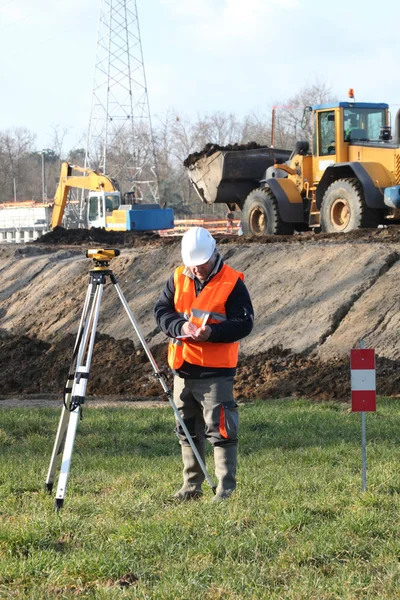
Male Surveyor Engineer With A Device Working On A Construction Site In A Helmet
Image, 12.85MB, 4000 × 6000 jpg

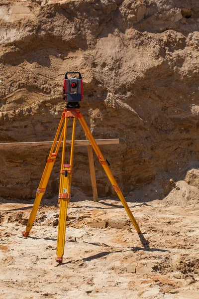
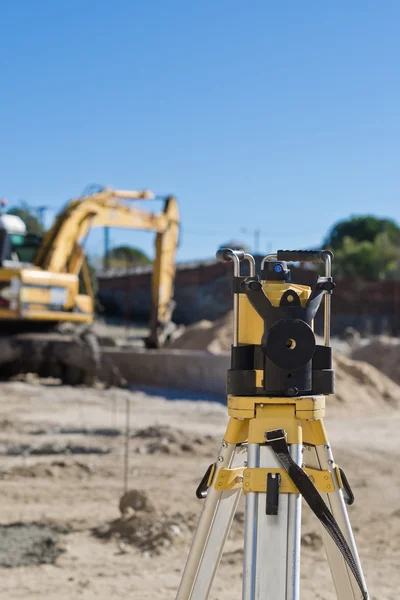
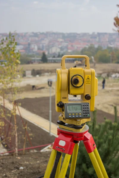
A Device For Geodesic Surveying For Cadastral Work At A Construction Site
Image, 11.06MB, 5184 × 3456 jpg
A Device For Geodesic Surveying For Cadastral Work At A Construction Site
Image, 5.98MB, 5184 × 3456 jpg
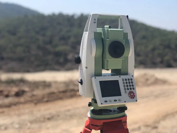
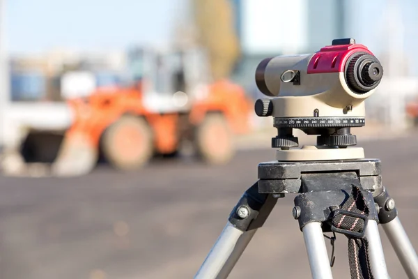
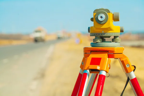
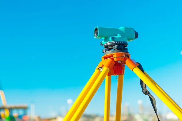
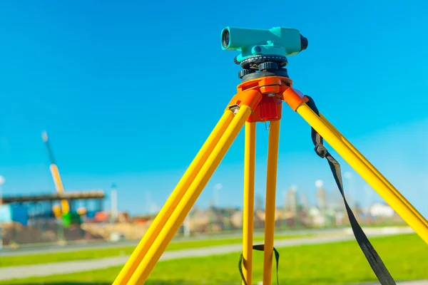
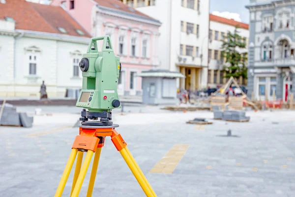
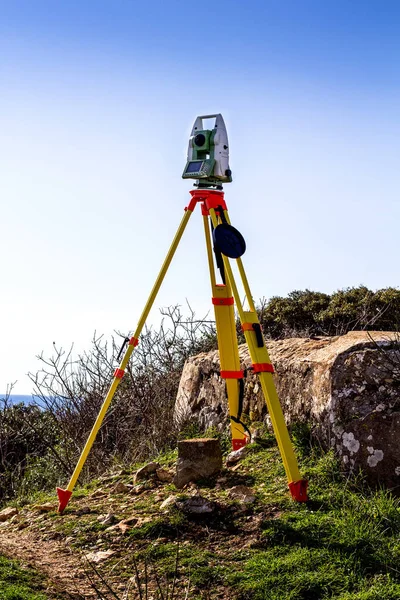
Geodetic Total Station On The Construction Site Against Blurred Background
Image, 0.36MB, 4032 × 3024 jpg

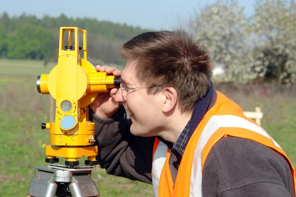

Civil Engineer's Instrument, Theodolite, Equipment For Land Surveying.
Image, 8.36MB, 5184 × 3456 jpg

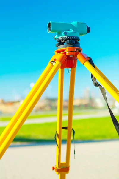

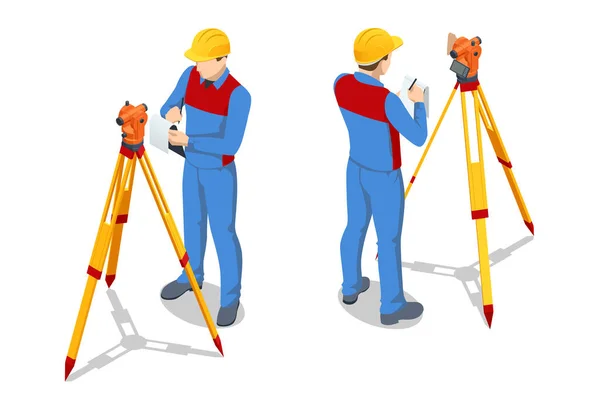
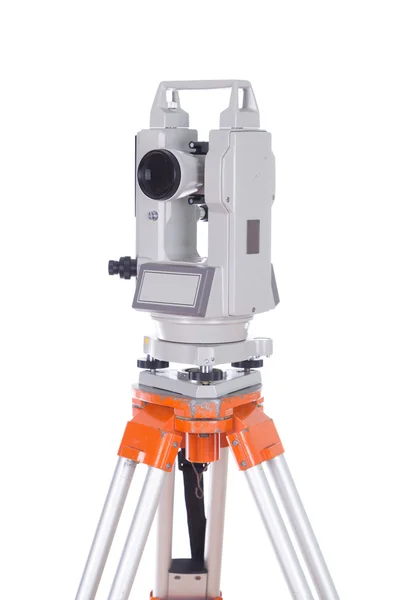
Isometric Surveying Measuring Equipment Level Theodolite On Tripod Isolated On White Background. Professional Engineer Surveyor Takes Measures With Theodolite. Construction Measuring Tool
Vector, 0.42MB, 6000 × 4000 eps


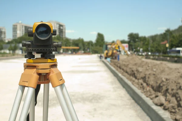
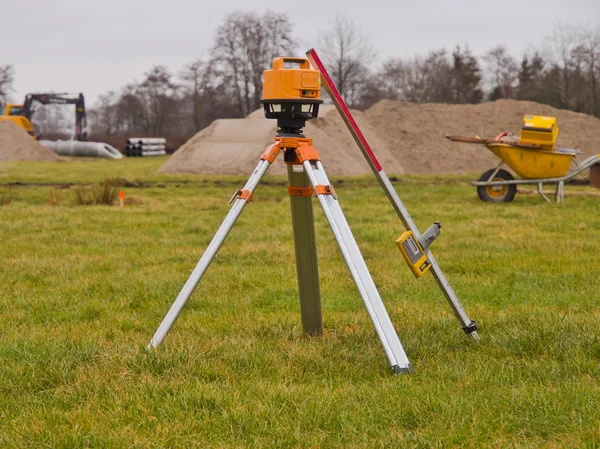
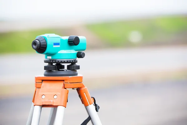
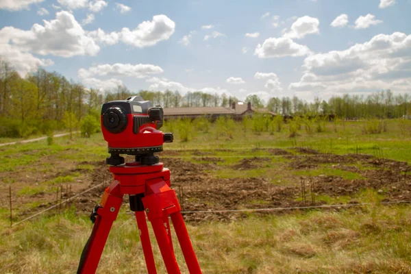
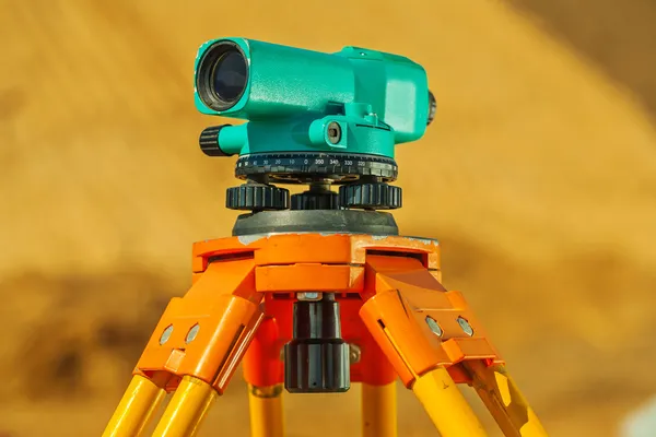
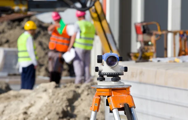
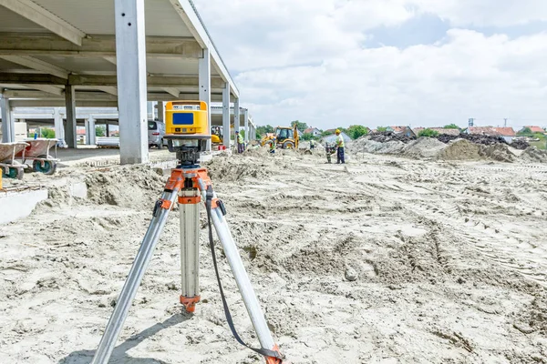
Geodetic Optical Level Against The Background Of A Working Excavator At A Construction Site
Image, 9.56MB, 6000 × 4000 jpg
Civil Engineer's Instrument, Theodolite, Equipment For Land Surveying.
Image, 13.62MB, 5184 × 3456 jpg
Previous << Page 2 >> Next