photo free
Home Images Vectors Videos

Stock image Geodetic Surveying

stock vector Conceptual icon set for construction in flat style. Vector illustration

Conceptual Icon Set For Construction In Flat Style. Vector Illustration

Vector, 2.9MB, 4167 × 4167 eps
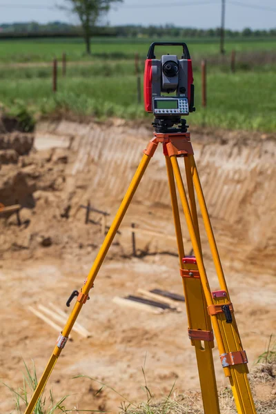
stock image geodetic surveying station measures distances and angles in the field on a yellow tripod, professional equipment for land mapping

Geodetic Surveying Station Measures Distances And Angles In The Field On A Yellow Tripod, Professional Equipment For Land Mapping

Image, 6.55MB, 5000 × 3336 jpg
stock vector Conceptual icon set for construction in flat style. Vector illustration

Conceptual Icon Set For Construction In Flat Style. Vector Illustration

Vector, 2.43MB, 4167 × 4167 eps
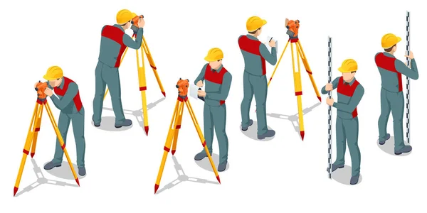
stock vector Isometric surveying measuring equipment level theodolite on tripod isolated on white background. Professional engineer surveyor takes measures with theodolite. Construction measuring tool

Isometric Surveying Measuring Equipment Level Theodolite On Tripod Isolated On White Background. Professional Engineer Surveyor Takes Measures With Theodolite. Construction Measuring Tool

Vector, 0.66MB, 6000 × 3000 eps
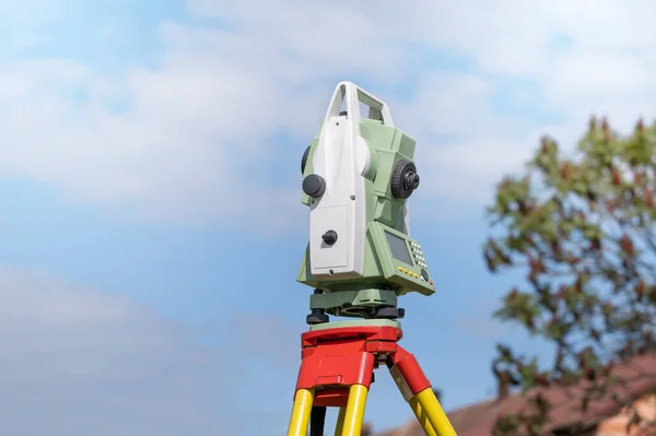
stock image Total station prism with survey worker hands

Total Station Prism With Survey Worker Hands

Image, 7.75MB, 4548 × 3032 jpg
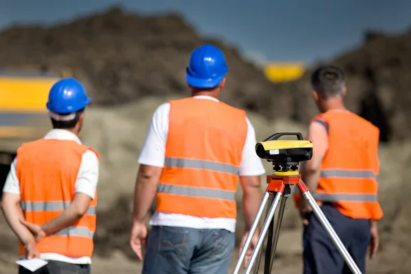
stock image Theodolite and workers at construction site

Theodolite And Workers At Construction Site

Image, 8.82MB, 5472 × 3648 jpg
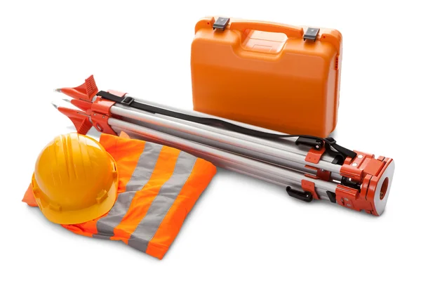
stock image Survey equipment in carrying case

Survey Equipment In Carrying Case

Image, 3.21MB, 4299 × 2867 jpg
stock vector Isometric surveyor engineer on geodetic works

Isometric Surveyor Engineer On Geodetic Works

Vector, 0.68MB, 6826 × 6021 eps
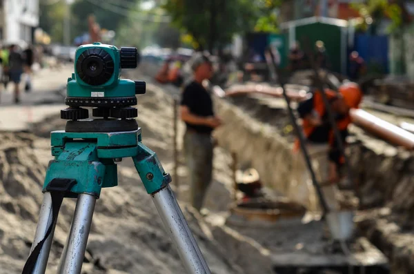
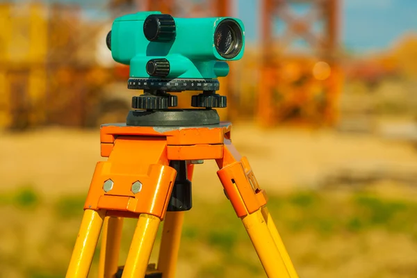
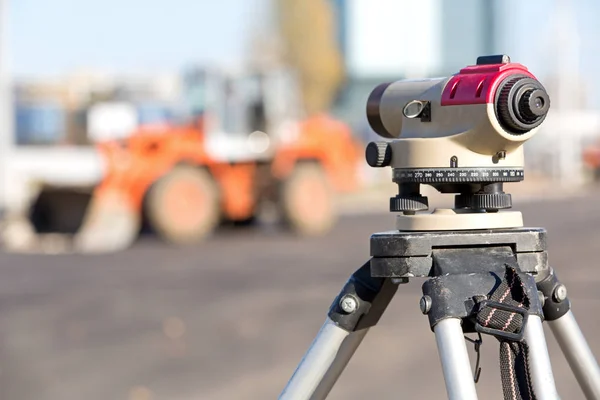
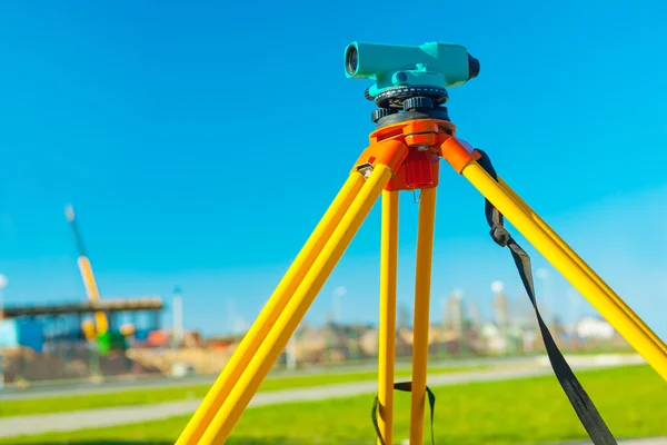
stock image optical level on construction in selective focus in outdoor

Optical Level On Construction In Selective Focus In Outdoor

Image, 5.95MB, 4683 × 3102 jpg
stock vector Surveyor icon set, simple style

Surveyor Icon Set, Simple Style

Vector, 0.89MB, 9013 × 2774 eps
stock image Holding leveling rod to measuring level on construction site

Holding Leveling Rod To Measuring Level On Construction Site

Image, 11.96MB, 5184 × 3456 jpg
stock image The total station, The geodetic and topography measuring tool, c

The Total Station, The Geodetic And Topography Measuring Tool, C

Image, 5.95MB, 4929 × 3286 jpg
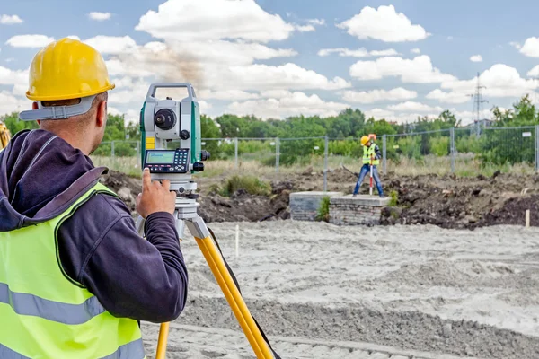
stock image Geodesist is working with total station on a building site. Civi

Geodesist Is Working With Total Station On A Building Site. Civi

Image, 9.68MB, 5184 × 3456 jpg
stock image Worker with theodolite

Worker With Theodolite

Image, 7.99MB, 5148 × 3390 jpg
stock image Surveyor measuring

Surveyor Measuring

Image, 6.93MB, 4200 × 2800 jpg
stock vector Land Surveyor Black Graphic Symbol Vector Illustration

Land Surveyor Black Graphic Symbol Vector Illustration

Vector, 1.7MB, 5000 × 5000 eps
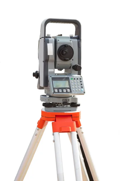
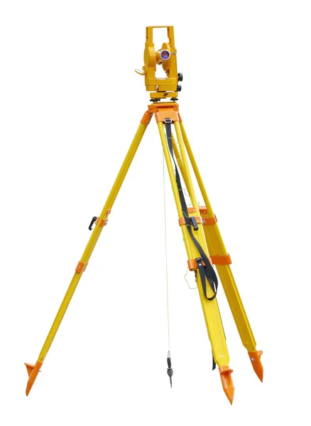
stock image Survey equipment theodolite on a tripod. Isolated on white backg

Survey Equipment Theodolite On A Tripod. Isolated On White Backg

Image, 2.53MB, 3648 × 5472 jpg
stock image Mine survey equipment

Mine Survey Equipment

Image, 3.21MB, 4742 × 3555 jpg
stock image Geodesic theodolite

Geodesic Theodolite

Image, 0.72MB, 1826 × 2500 jpg
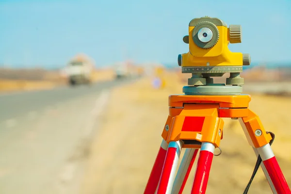
stock image theodolit on road

Theodolit On Road

Image, 5.03MB, 2912 × 4368 jpg
stock image theodolite close up

Theodolite Close Up

Image, 5.4MB, 2789 × 4183 jpg
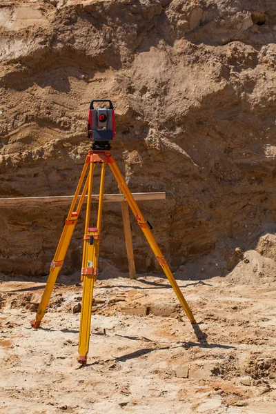
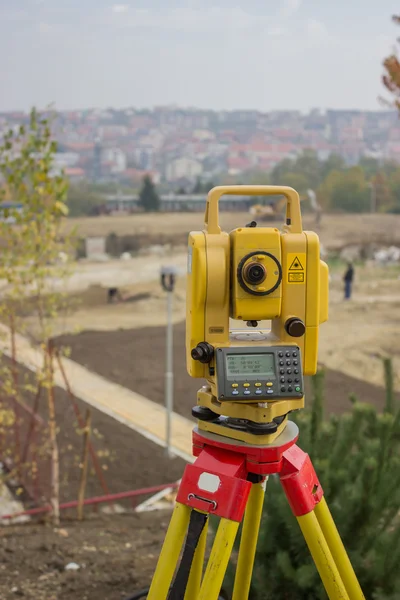
stock image Geodetic device standing on sand

Geodetic Device Standing On Sand

Image, 6.96MB, 3464 × 5196 jpg
stock image Geodesist device on a building site. Civil engineer with theodol

Geodesist Device On A Building Site. Civil Engineer With Theodol

Image, 11.54MB, 5185 × 3456 jpg
stock image Surveying equipment to the construction site

Surveying Equipment To The Construction Site

Image, 2.94MB, 4288 × 2848 jpg
stock image close up view on old theodolite on construction place

Close Up View On Old Theodolite On Construction Place

Image, 6.08MB, 4368 × 2912 jpg
stock image Theodolite at construction site

Theodolite At Construction Site

Image, 8.62MB, 5472 × 3648 jpg
stock image Surveying equipment to infrastructure construction project

Surveying Equipment To Infrastructure Construction Project

Image, 5.11MB, 4288 × 2848 jpg
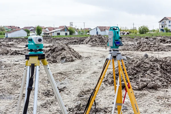
stock image professional surveying stations for measuring the angle and distance outdoors, precisely modern equipment

Professional Surveying Stations For Measuring The Angle And Distance Outdoors, Precisely Modern Equipment

Image, 6.4MB, 5000 × 3332 jpg
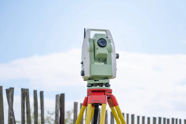
stock image Surveying equipment to infrastructure construction project

Surveying Equipment To Infrastructure Construction Project

Image, 8.9MB, 5184 × 3456 jpg
stock image Land surveying equipment theodolite at construction site

Land Surveying Equipment Theodolite At Construction Site

Image, 4.08MB, 4200 × 2800 jpg
stock image Theodolite

Theodolite

Image, 7.35MB, 3643 × 2732 jpg
stock image theodolit close up

Theodolit Close Up

Image, 6.75MB, 4368 × 2912 jpg
stock image geodetic total station measures distances and angles for the preparation of map data

Geodetic Total Station Measures Distances And Angles For The Preparation Of Map Data

Image, 6.37MB, 5500 × 3667 jpg
stock image Geodetic device standing on sand

Geodetic Device Standing On Sand

Image, 12.86MB, 3464 × 5196 jpg
stock image Surveying equipment theodolite during road works

Surveying Equipment Theodolite During Road Works

Image, 6.89MB, 5760 × 3840 jpg
stock image Front of Surveyors equipment (theodolite or total positioning station) on the construction site of the road or building with construction machinery background

Front Of Surveyors Equipment (theodolite Or Total Positioning Station) On The Construction Site Of The Road Or Building With Construction Machinery Background

Image, 13.76MB, 7952 × 5304 jpg
stock image close up view on theaodolit on a background of sky

Close Up View On Theaodolit On A Background Of Sky

Image, 5.41MB, 4368 × 2912 jpg
stock image Geodetic total station on the construction site against blurred machinery at the background

Geodetic Total Station On The Construction Site Against Blurred Machinery At The Background

Image, 1.64MB, 4032 × 3024 jpg
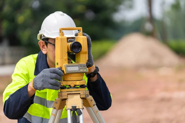
stock image Geodesist is working with total station on a building site. Civi

Geodesist Is Working With Total Station On A Building Site. Civi

Image, 9.7MB, 5184 × 3456 jpg
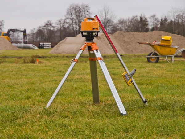
stock image laser

Laser

Image, 4.39MB, 3111 × 4667 jpg
stock image Surveyor Civil Engineer using equipment theodolite or total positioning station on the construction site.

Surveyor Civil Engineer Using Equipment Theodolite Or Total Positioning Station On The Construction Site.

Image, 15.44MB, 7952 × 5304 jpg
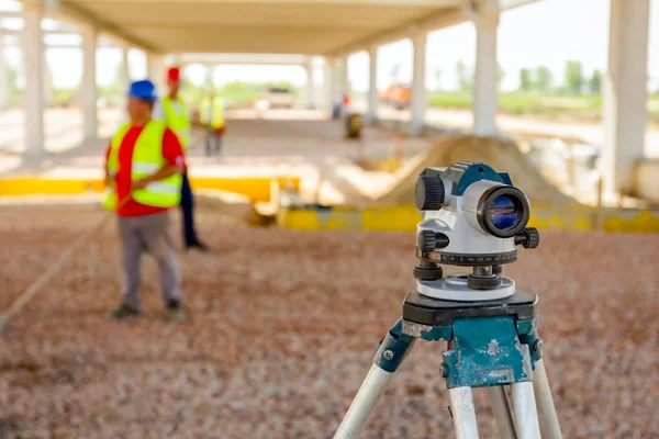
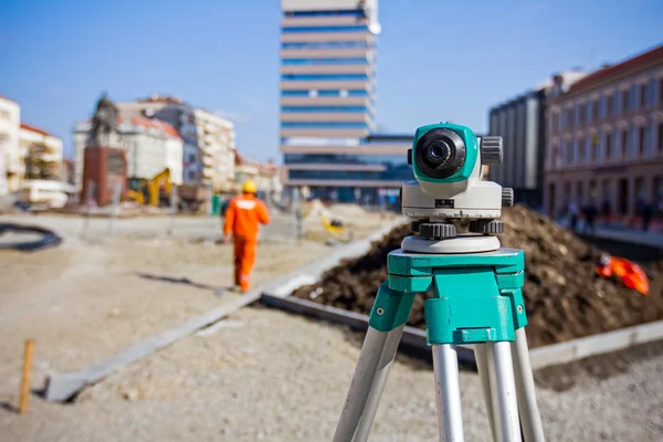
stock image Surveyor instrument is for measuring level on construction site. Surveyors ensure precise measurements before undertaking large construction projects.

Surveyor Instrument Is For Measuring Level On Construction Site. Surveyors Ensure Precise Measurements Before Undertaking Large Construction Projects.

Image, 6.22MB, 5184 × 3456 jpg
stock image Total Station on construction site

Total Station On Construction Site

Image, 9.55MB, 3456 × 5184 jpg
stock image view on theodolit on a background of a sky

View On Theodolit On A Background Of A Sky

Image, 5.58MB, 4368 × 2912 jpg
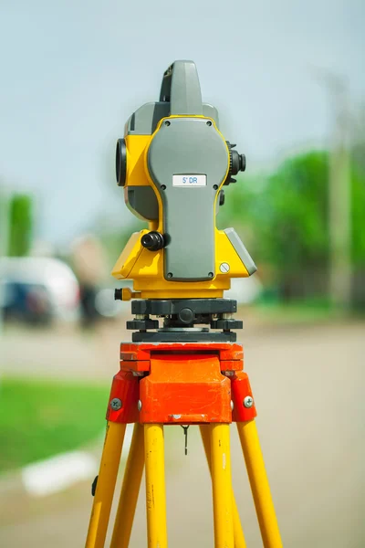
stock image theodolite side view

Theodolite Side View

Image, 5.21MB, 2912 × 4368 jpg
stock image Total station on construction site 2

Total Station On Construction Site 2

Image, 7.87MB, 3456 × 5184 jpg
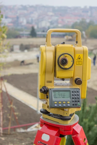
stock image Electronical theodolite

Electronical Theodolite

Image, 5.98MB, 2912 × 4368 jpg
stock image male surveyor engineer with a device working on a construction site in a helmet

Male Surveyor Engineer With A Device Working On A Construction Site In A Helmet

Image, 12.85MB, 4000 × 6000 jpg
stock image A device for geodesic surveying for cadastral work at a construction site

A Device For Geodesic Surveying For Cadastral Work At A Construction Site

Image, 11.06MB, 5184 × 3456 jpg
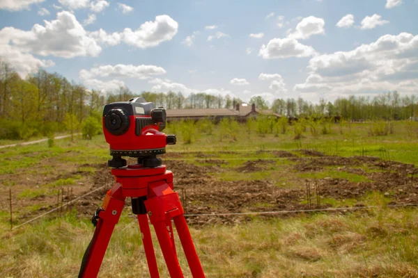
stock image A device for geodesic surveying for cadastral work at a construction site

A Device For Geodesic Surveying For Cadastral Work At A Construction Site

Image, 5.98MB, 5184 × 3456 jpg
Page 1 >> Next