
Stock image Geological Survey
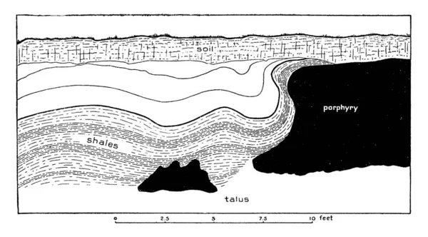
A Typical Representation Of The Deformation Of Shale By Porphyry, Burlington Railroad, East Of Whitetail Gulch, Vintage Line Drawing Or Engraving Illustration.
Vector, 2.18MB, 9721 × 5382 eps

Geological Survey Word Cloud Hand Sphere Concept On White Background.
Image, 5.26MB, 5472 × 3952 jpg
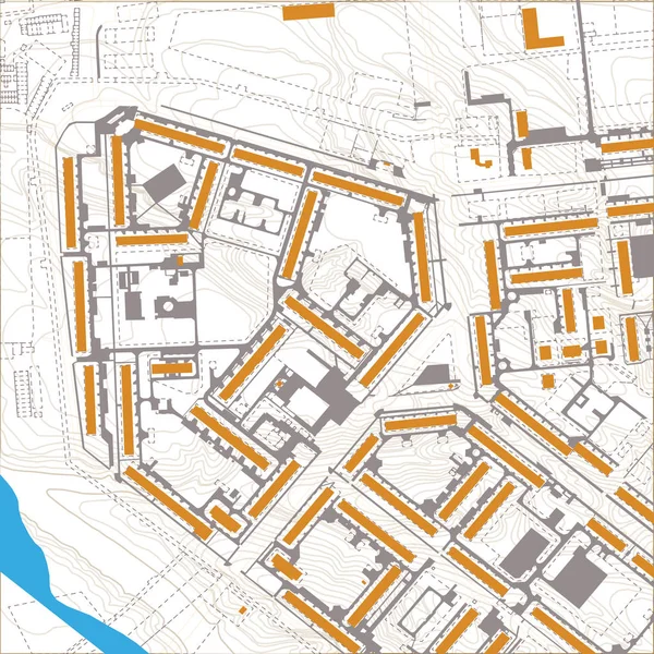
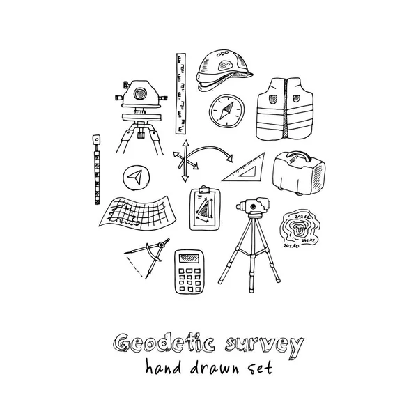
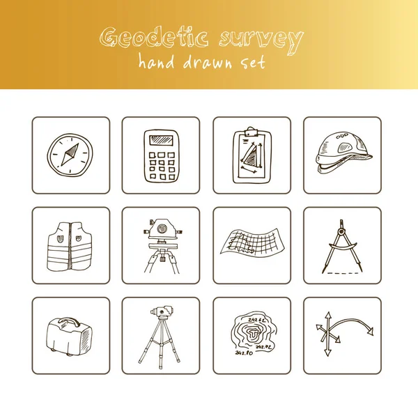
Geodetics Engineering Technology And Equipment. Vector Line Art Illustration On City Map Background
Vector, 7.54MB, 5001 × 5001 eps

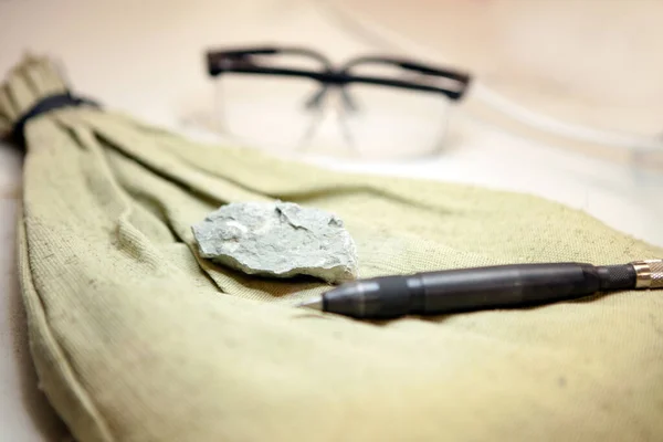
Stone Samples, Loop, Notebook And Mobile Phome At Geological Laboratory. Geology Rock Laboratory. Laboratory For Analysis Of Geological Soil Materials, Stones, Minerals, Rocks Samples For Researchers
Image, 7.01MB, 4464 × 2976 jpg
Geodetic Measuring Equipment, Drone, Engineering Technology For Land Survey And Geodesy Banner
Vector, 0.99MB, 5000 × 5000 eps

The Borra Caves Are Located On The East Coast Of India, In The Ananthagiri Hills Of The Araku Valley, Visakhapatnam District In Andhra Pradesh, India. Formations Of Rocks Inside Borra Caves. Stalactite And Stalagmite Caves In India.
Image, 9.22MB, 5400 × 3600 jpg
Fossils Extraction From The Limestone At Geology Laboratory. Stone Samples At Geological Laboratory. Geology Rock Laboratory. Laboratory For Analysis Of Geological Soil Materials, Stones, Minerals Collection
Image, 9.88MB, 5616 × 3744 jpg
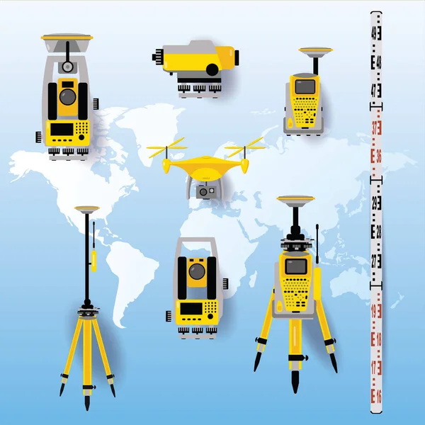
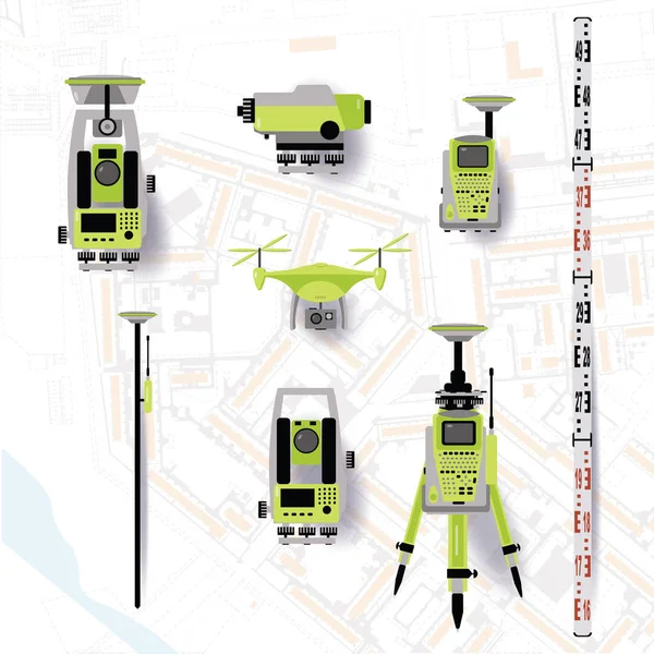
Geodetic Equipment Vector Illustration. Measuring Instruments In Flat Design. Theodolite, Tacheometer, Total Station, Drone, Level, Map Sketch Isolated On World Map Blue Background.
Vector, 17.04MB, 5001 × 5001 eps

Geologist Conducts A Description Of The Rocky Outcrop During Surface Geological Survey Work
Image, 13.84MB, 6000 × 4000 jpg
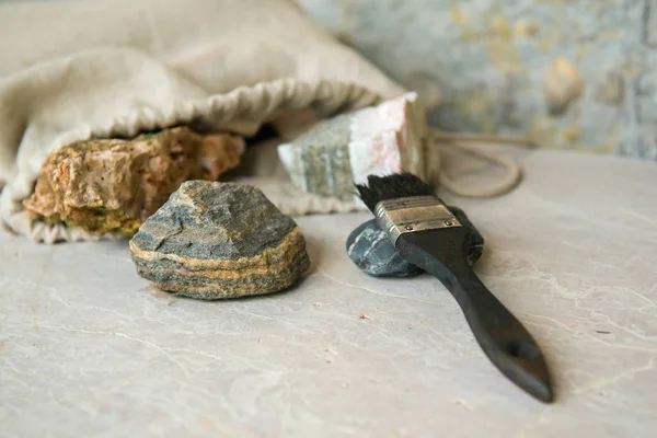
Stone Samples At Geological Laboratory. Geology Rock Laboratory. Laboratory For The Analysis Of Geological Soil Materials, Stones, Minerals, Rocks Samples For Researchers And Students.
Image, 13.81MB, 6197 × 4131 jpg
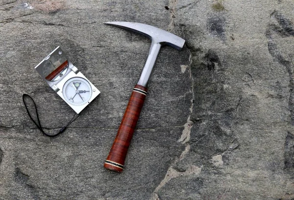
Geologists Compass On The Stones With Hammer. Geology Science Concept. The Geologists Hammer And Tools Are Laid Out On A Stone
Image, 4.76MB, 4805 × 3282 jpg
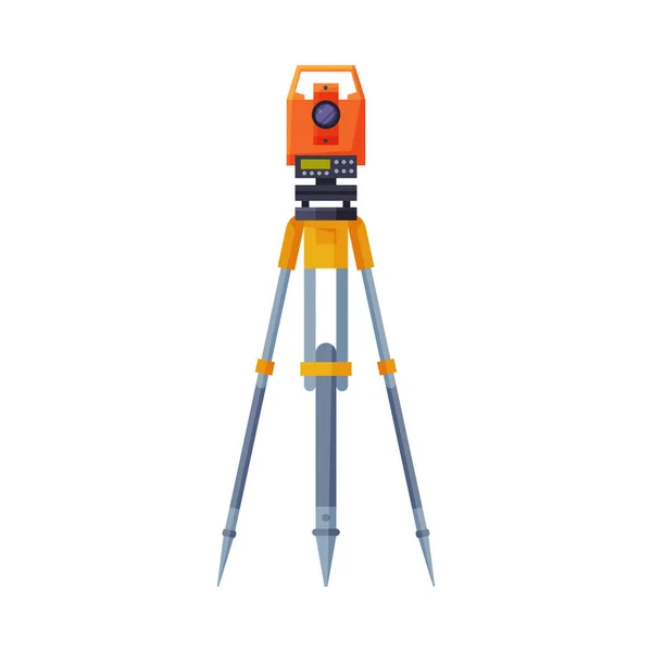
Geodetic Measuring Equipment, Engineering Technology For Land Survey
Vector, 2.66MB, 5001 × 5001 eps

Employee Geological Survey Indicates The Direction Of His Colleague. Winter In The Mountains Of Yakutia. Gold Exploration.
Image, 1.81MB, 2496 × 1664 jpg
Geodetic Equipment Vector Illustration. Measuring Instruments In Flat Design. Theodolite, Tacheometer, Total Station, Drone, Level, Map Sketch Isolated On World Map Background.
Vector, 2.57MB, 5000 × 5000 eps
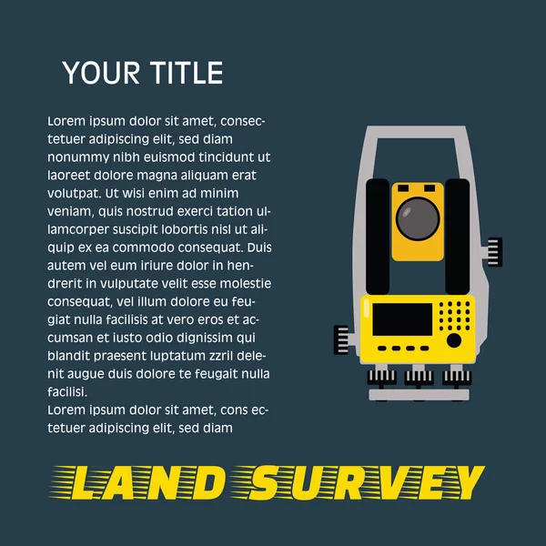
Geodetic Measuring Equipment, Engineering Technology For Land Survey Banner On Dark Background.Isolate Icon Of Theodolit
Vector, 0.93MB, 5001 × 5001 eps

SACRAMENTO, USA - APRIL 10, 2014: Renaissance Tower Building In Sacramento. It Houses Offices Of California Earthquake Authority And California Geological Survey.
Image, 2.24MB, 3012 × 2007 jpg
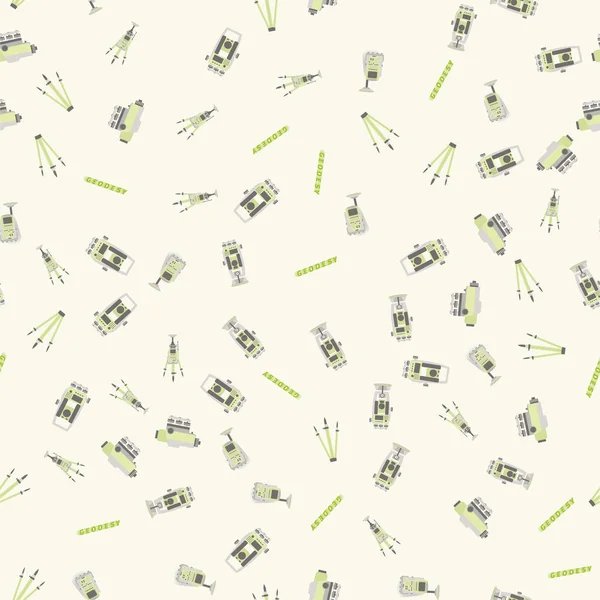
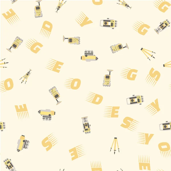
Geodetic Measuring Equipment, Engineering Technology For Land Survey Pattern
Vector, 8.48MB, 5001 × 5001 eps

A Panoramic View Of Gangtok City With Full Of Buildings, Concrete Jungle Established In The Hill Top In Sikkim. According To Geological Survey Of India, Sikkim Falls In Forth Seismic Zone In India, Construction Of More Than 4 Storied Not Allowed.
Image, 4.27MB, 3100 × 2281 jpg

Intricate Quartz Veins Mixed Between Slate Stone In The Loiba Cliffs In Espasante Galicia
Image, 9.98MB, 3355 × 3129 jpg

Geologist Work Composition With Man Digs And Woman Takes Geodetic Measurements Of Earth Surface Vector Illustration. Cartoon Geology Equipment, Tacheometer And Human Characters Isolated On White
Vector, 0.31MB, 6860 × 5000 eps
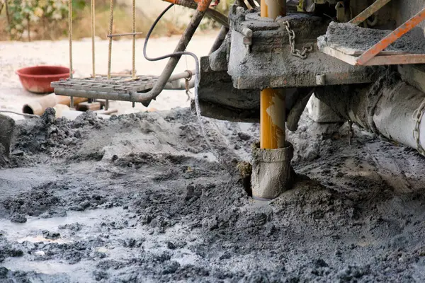
Utilizes Industrial-grade Machinery To Create A Bore Well, A Vital Access Point To Groundwater Sources In Arid Regions
Image, 26.49MB, 6000 × 4000 jpg

Beautiful Vein Of Golden Pyrite Runs Through A Slab Of Blue Slate On A Beach In Ribadeo Lugo Galicia
Image, 16.03MB, 4016 × 6016 jpg


A Reddish Sandstone Pebble Contrasts With Blue Schist Stones On A Beach In Ribadeo Lugo Galicia
Image, 20.19MB, 5020 × 4016 jpg

Colourful Sunset Sky Above The Booth Street Complex, Heritage Smokestack And Historical Industrial Buildings Related To Development Of Mining And Energy Industries, Ottawa, Ontario, Canada July 2024
Image, 7.99MB, 5773 × 3599 jpg


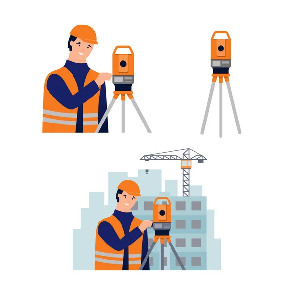
Tacheometer,Theodolite On Tripod, Geological Survey, Engineering Equipment For Measurement And Research Flat Style Vector Illustration
Vector, 5.19MB, 6251 × 6251 eps
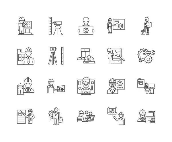
Engineering And Surveing Services Line Icons, Signs, Vector Set, Outline Illustration Concept
Vector, 1.79MB, 6000 × 4950 eps


Field Geologist's Outfit - Backpack, Geological Hammer, Thermos And Field Notepad - Lies On The Autumn Foliage Under The Rock
Image, 15.47MB, 6000 × 4000 jpg
Geodesy Line Icon Concept. Geodesy Vector Linear Illustration, Symbol, Sign
Vector, 0.94MB, 6000 × 6000 eps


Engineering And Surveing Services Line Icons, Signs Set, Vector. Engineering And Surveing Services Outline Concept, Illustration: Flat,engineering,survey,technology,deset
Vector, 2.47MB, 6000 × 6000 eps

Geodetic Survey Engineering Vector Flat Glyph Icons. Geodesy Equipment, Tacheometer, Theodolite. Geological Research, Building Measurements. Construction Signs. Solid Silhouette Pixel Perfect 64x64.
Vector, 0.37MB, 2417 × 2417 eps
Page 1 >> Next