
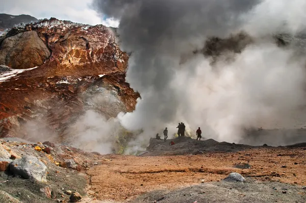
Stock image Geophysics


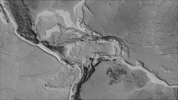
Neighborhoods Of The Caribbean Tectonic Plate On The Grayscale Map In The Van Der Grinten I Projection (oblique Transformation). Raw Composite - No Outlines
Image, 2.65MB, 2880 × 1620 jpg

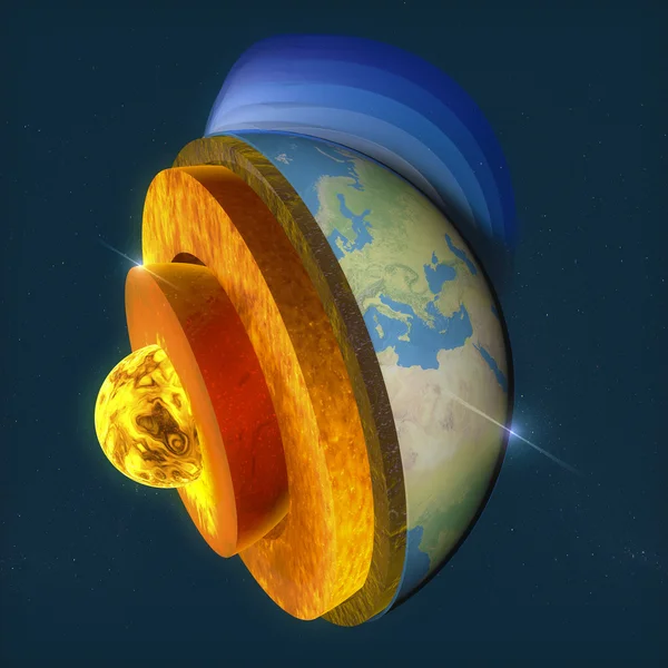
Earth And Moon Comparison Cross Section Layers, Size And Distance. Educational Science And Cosmology Information Poster. Vector Illustration.
Vector, 5.86MB, 5679 × 3355 eps
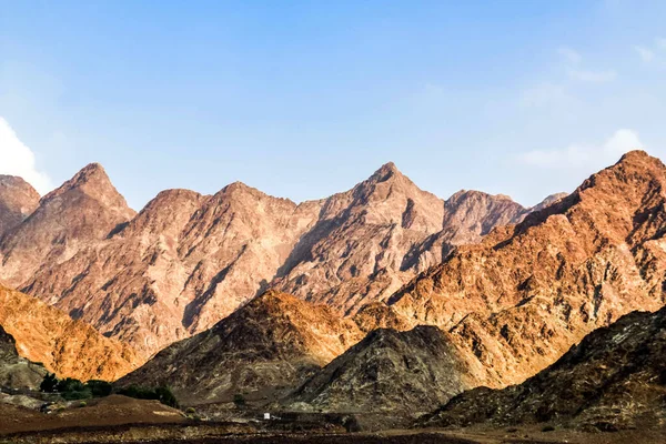
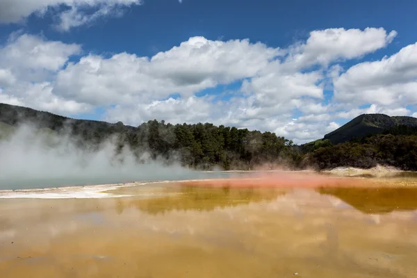
Geological Landscape Of Jabal Jais Characterised By Dry And Rocky Mountains, Mud Mountains In Ras Al Khaimah, United Arab Emirates
Image, 4.6MB, 5472 × 3648 jpg

The GPR Is A Noninvasive Method Used In Geophysics. It Is Based On The Analysis Of Electromagnetic Waves Transmitted Into The Ground Reflections.
Image, 3.7MB, 2524 × 3804 jpg
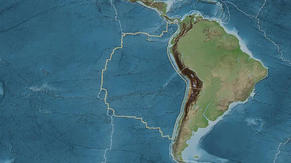
Area Of The Nazca Tectonic Plate Marked With A Solid Line On A Pale Colored Elevation Map In The Patterson Cylindrical Projection
Image, 7.51MB, 3840 × 2160 jpg
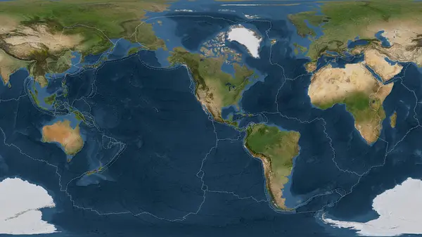
Satellite Imagery Map Of The World In The Patterson Cylindrical Projection Transformed To The Center Of The Rivera Tectonic Plate
Image, 6.56MB, 3840 × 2160 jpg


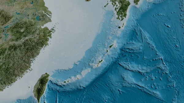
Relief Map Of The Area Around The Pacific Tectonic Plate. 3D Rendering
Image, 5.32MB, 2880 × 1620 jpg

Satellite Map Of The Area Around The Okinawa Tectonic Plate. 3D Rendering
Image, 4.05MB, 2880 × 1620 jpg


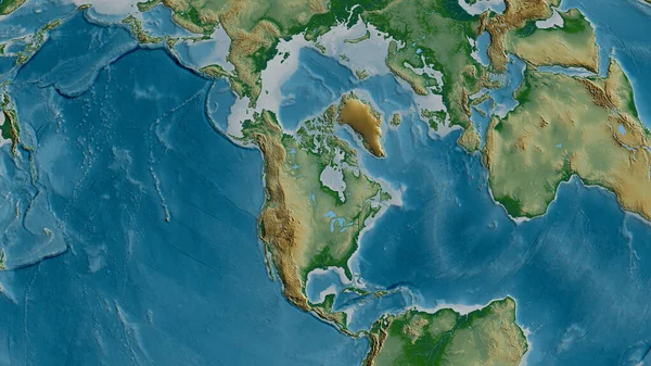
Physical Map Of The Area Around The North American Tectonic Plate. 3D Rendering
Image, 5.52MB, 2880 × 1620 jpg
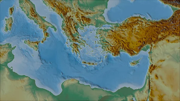
Neighborhoods Of The Aegean Sea Tectonic Plate On The Relief Map In The Van Der Grinten I Projection (oblique Transformation). Raw Composite - No Outlines
Image, 5.12MB, 2880 × 1620 jpg

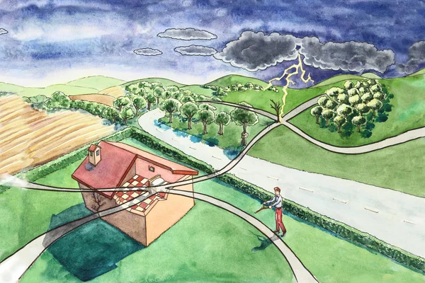
Vector Illustration Of House Earthquakes. Concept On White Background Of Earthquake Effects. Broken Trees, Sprayed House, Strong Wind.
Vector, 0.4MB, 5482 × 2958 eps
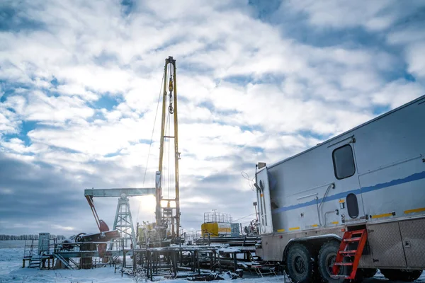
Wireline Equipment Hanging From Top Drive Ready To Be Lowered Downhole For Logging. An Oil Well Engineer Works From The Back Of Specialised Van To Log The Condition Of Steel Casing Inside An Oil Well
Image, 13.25MB, 6000 × 4000 jpg
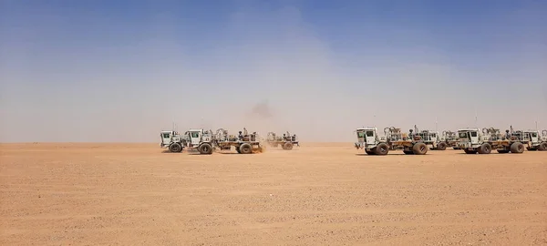
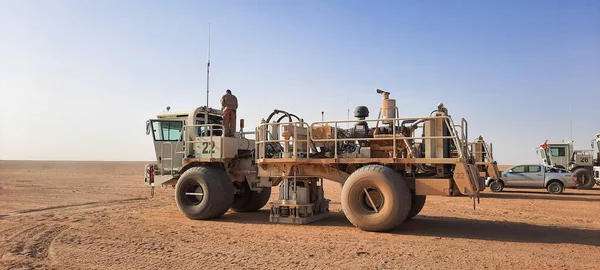
Few Vibrator Vehicles For Land Seismic. Heavy Machinery Equipment In Desert, Oil And Gas Industry
Image, 3.57MB, 4000 × 1800 jpg
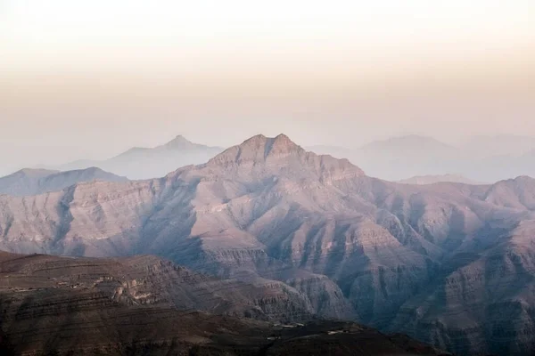
Geological Landscape Of Jabal Jais Characterised By Dry And Rocky Mountains, Mud Mountains In Ras Al Khaimah, United Arab Emirates
Image, 3.4MB, 5472 × 3648 jpg
Page 1 >> Next