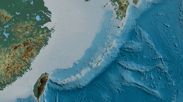
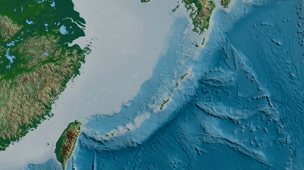
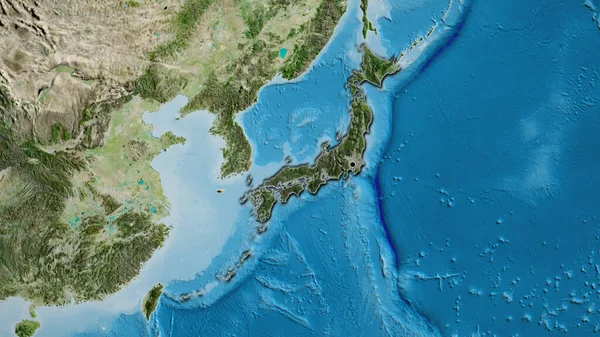
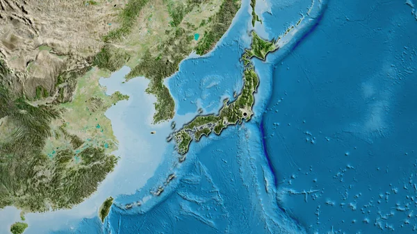
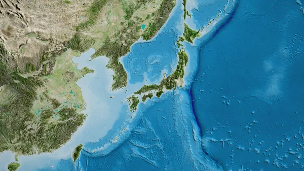
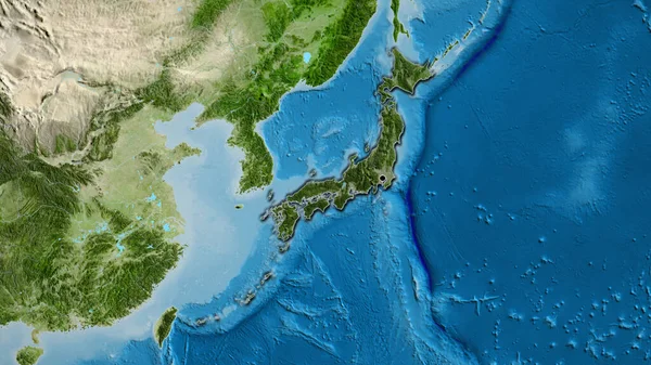
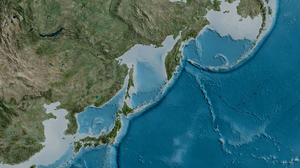
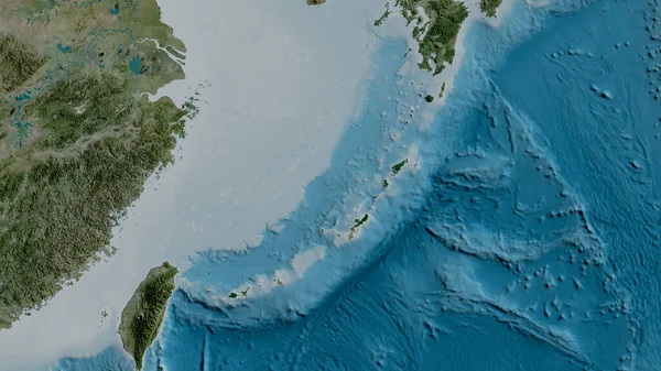
Stock image Satellite map of the area around the Okinawa tectonic plate. 3D rendering
Published: Jun.19, 2020 09:50:53
Author: Yarr65
Views: 11
Downloads: 4
File type: image / jpg
File size: 4.05 MB
Orginal size: 2880 x 1620 px
Available sizes:
Level: bronze