photo free
Home Images Vectors Videos

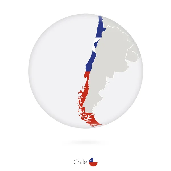
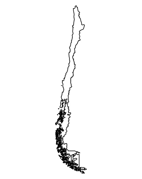
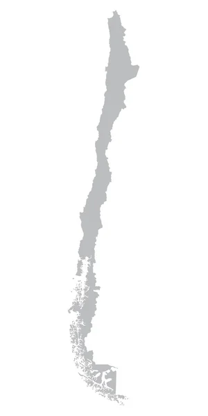
Stock image Grey Map Of Chile

stock vector Chile map with borders, cities, capital and administrative divisions. Infographic vector map. Editable layers clearly labeled.

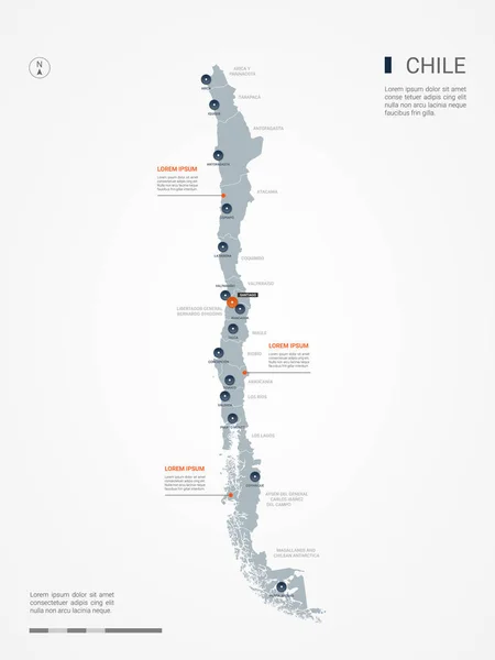
Chile Map With Borders, Cities, Capital And Administrative Divisions. Infographic Vector Map. Editable Layers Clearly Labeled.

Vector, 2.16MB, 3000 × 4000 eps
stock vector grey map of the world with indication of Chile

Grey Map Of The World With Indication Of Chile

Vector, 6.32MB, 5200 × 3120 eps
stock vector Chile marked by blue in grey World political map. Vector illustration

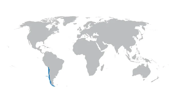
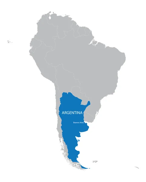
Chile Marked By Blue In Grey World Political Map. Vector Illustration

Vector, 5.75MB, 6000 × 4500 eps
stock vector Political map of Americas in grey on white background. North and South America with country labels. Simple flat vector illustration

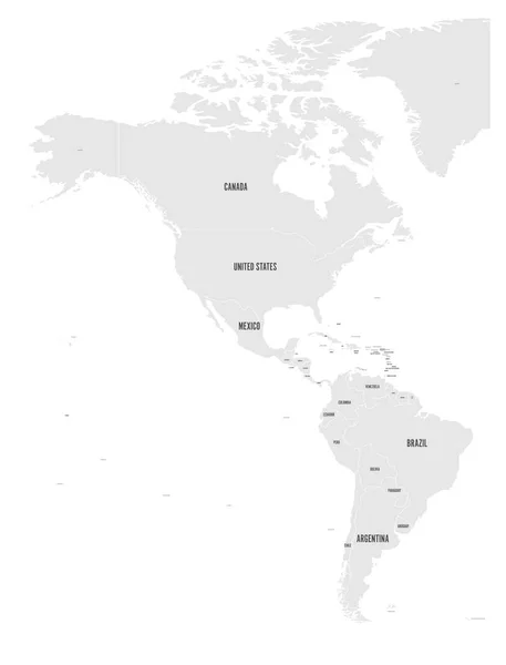
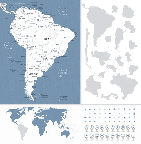
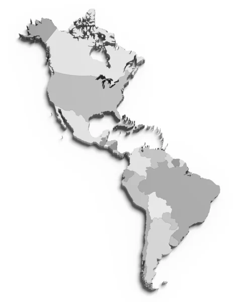
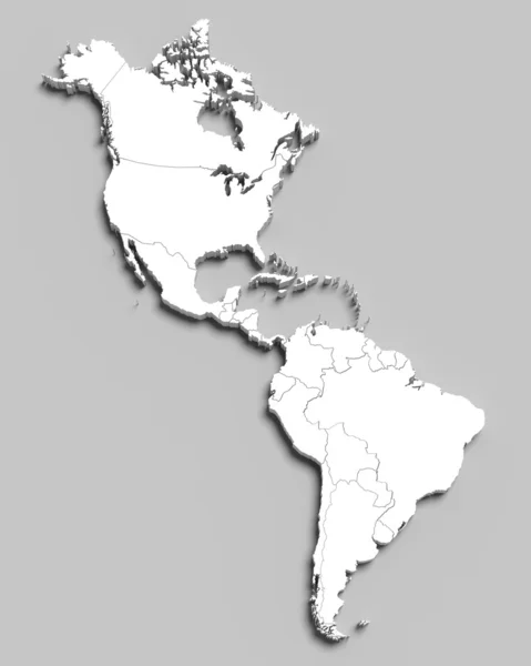
Political Map Of Americas In Grey On White Background. North And South America With Country Labels. Simple Flat Vector Illustration

Vector, 2.36MB, 6000 × 7876 eps
stock vector Map of Comprehensive and Progressive Agreement for Trans-Pacific Partnership, CPTPP or TPP11. Blue highlighted member states. Vector illustration

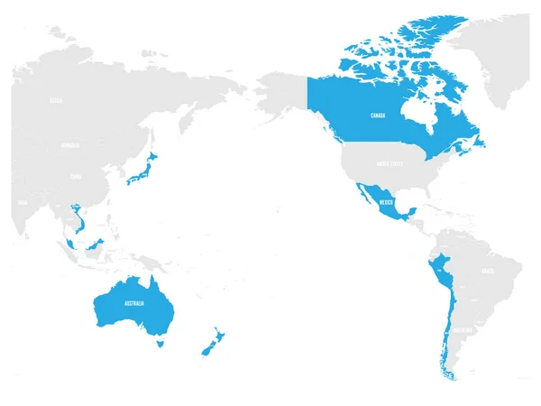
Map Of Comprehensive And Progressive Agreement For Trans-Pacific Partnership, CPTPP Or TPP11. Blue Highlighted Member States. Vector Illustration

Vector, 5.8MB, 6000 × 4500 eps
stock vector Map of Chile and national flag in a circle.

Map Of Chile And National Flag In A Circle.

Vector, 1.38MB, 5000 × 5000 eps
stock vector map of South America with indication of Ecuador

Map Of South America With Indication Of Ecuador

Vector, 2.94MB, 3608 × 4500 eps
stock vector South America Highly Detailed Map and World Map

South America Highly Detailed Map And World Map

Vector, 10.92MB, 8037 × 8192 eps
stock vector map of South America with indication of Argentina

Map Of South America With Indication Of Argentina

Vector, 3.1MB, 3608 × 4500 eps
stock vector Political map of Americas in four shades of grey on white background. North and South America with country labels. Simple flat vector illustration

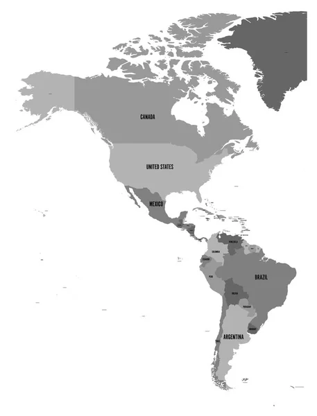
Political Map Of Americas In Four Shades Of Grey On White Background. North And South America With Country Labels. Simple Flat Vector Illustration

Vector, 1.69MB, 4572 × 6001 eps
stock vector grey map of South America with countries borders

Grey Map Of South America With Countries Borders

Vector, 2.81MB, 3608 × 4500 eps
stock vector map of South America with indication of Bolivia

Map Of South America With Indication Of Bolivia

Vector, 3.15MB, 3608 × 4500 eps
stock vector Transparent - High Detailed Grey Map of South America. Vector Eps 10.

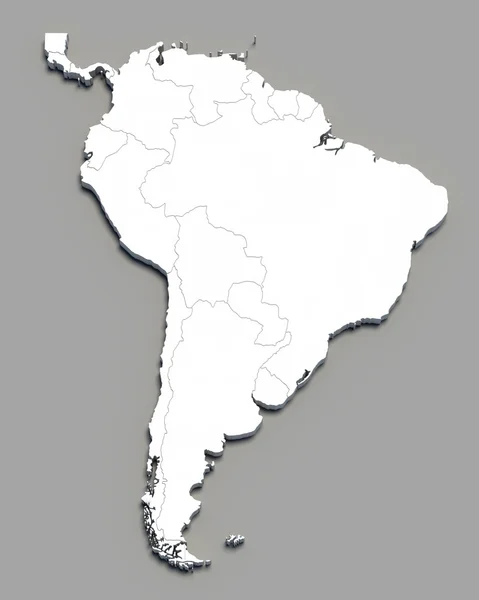
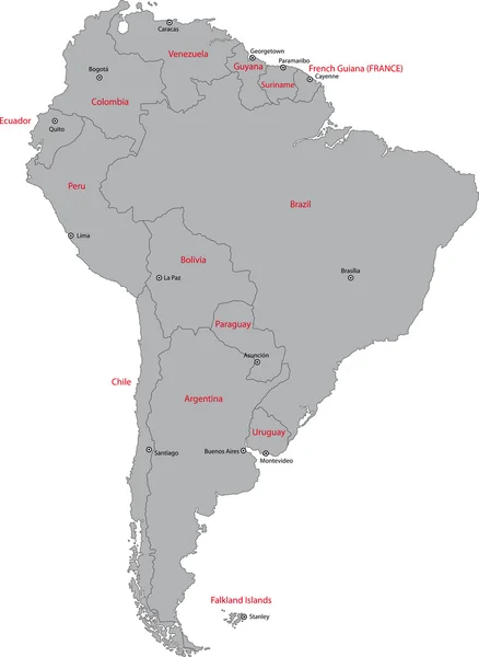
Transparent - High Detailed Grey Map Of South America. Vector Eps 10.

Vector, 10.3MB, 5000 × 5000 eps
stock vector Map of Comprehensive and Progressive Agreement for Trans-Pacific Partnership, CPTPP or TPP11. Yellow highlighted member states. Vector illustration

Map Of Comprehensive And Progressive Agreement For Trans-Pacific Partnership, CPTPP Or TPP11. Yellow Highlighted Member States. Vector Illustration

Vector, 7.58MB, 6000 × 4500 eps
stock vector map of South America with indication of Paraguay

Map Of South America With Indication Of Paraguay

Vector, 3.09MB, 3608 × 4500 eps
stock vector map of South America with indication of Chile

Map Of South America With Indication Of Chile

Vector, 2.93MB, 3608 × 4500 eps
stock vector map of South America with indication of Brazil

Map Of South America With Indication Of Brazil

Vector, 2.58MB, 3608 × 4500 eps
stock vector white map of South America

White Map Of South America

Vector, 2.51MB, 3600 × 4500 eps
stock image torres del paine national park

Torres Del Paine National Park

Image, 17.97MB, 3970 × 5955 jpg
stock vector map of South America with indication of Colombia

Map Of South America With Indication Of Colombia

Vector, 2.83MB, 3608 × 4500 eps
stock vector Map of Comprehensive and Progressive Agreement for Trans-Pacific Partnership, CPTPP or TPP11. Pink highlighted member states. Vector illustration

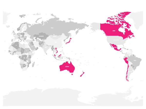
Map Of Comprehensive And Progressive Agreement For Trans-Pacific Partnership, CPTPP Or TPP11. Pink Highlighted Member States. Vector Illustration

Vector, 6.21MB, 6000 × 4500 eps
stock image 3d grey map of south and north american countries

3d Grey Map Of South And North American Countries

Image, 2.04MB, 4000 × 5000 jpg
stock vector Accurate map of Chile

Accurate Map Of Chile

Vector, 2.6MB, 4000 × 5000 eps
stock vector Political map of South America. Simple flat vector map with country name labels in grey

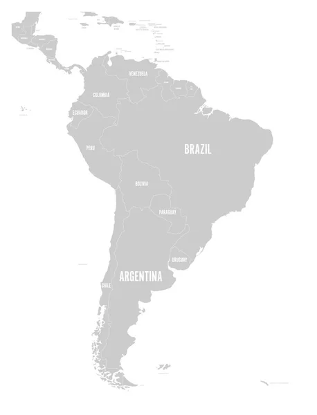
Political Map Of South America. Simple Flat Vector Map With Country Name Labels In Grey

Vector, 1.52MB, 6000 × 7852 eps
stock vector Chile map with flag inside and ribbon

Chile Map With Flag Inside And Ribbon

Vector, 0.87MB, 4167 × 4167 eps
stock vector Chile regions map

Chile Regions Map

Vector, 8.15MB, 3004 × 5004 eps
stock vector Transparent - High Detailed Grey Map of Chile. vector eps10.

Transparent - High Detailed Grey Map Of Chile. Vector Eps10.

Vector, 6.53MB, 5000 × 5000 eps
stock vector Political map of South America. Simple flat vector map with country name labels in four shades of grey

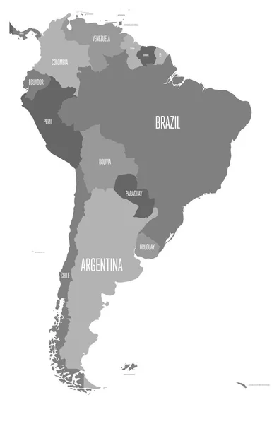
Political Map Of South America. Simple Flat Vector Map With Country Name Labels In Four Shades Of Grey

Vector, 0.93MB, 6000 × 9091 eps
stock vector grey map of Chile

Grey Map Of Chile

Vector, 1.72MB, 2850 × 5700 eps
stock image Flags and maps of South America countries

Flags And Maps Of South America Countries

Image, 8.13MB, 5120 × 5120 jpg
stock image Silver Globe - South America

Silver Globe - South America

Image, 10.53MB, 4800 × 4800 jpg
stock image Simple Country Icons

Simple Country Icons

Image, 2.94MB, 4000 × 4871 jpg
stock vector map of South America with indication of Peru

Map Of South America With Indication Of Peru

Vector, 3.08MB, 3608 × 4500 eps
stock vector Chile region map white outline on grey background Detailed map of Chile regions Vector

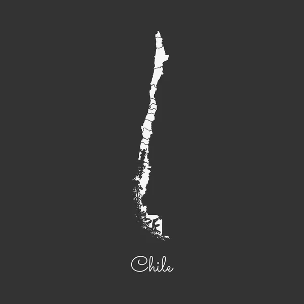
Chile Region Map White Outline On Grey Background Detailed Map Of Chile Regions Vector

Vector, 1.07MB, 8333 × 8333 eps
stock image horns of the Torres del Paine in Chile

Horns Of The Torres Del Paine In Chile

Image, 21.06MB, 3954 × 5931 jpg
stock vector Chile regions Map grey

Chile Regions Map Grey

Vector, 4.61MB, 3000 × 12673 eps
stock vector Accurate map of Chile

Accurate Map Of Chile

Vector, 2.6MB, 4000 × 5000 eps
stock vector Chile map in gray on a white background

Chile Map In Gray On A White Background

Vector, 0.77MB, 4167 × 4167 eps
stock vector Black map of south america

Black Map Of South America

Vector, 0.5MB, 5000 × 5000 eps
stock image 3d white map of south and north american countries on grey

3d White Map Of South And North American Countries On Grey

Image, 2.06MB, 4000 × 5000 jpg
stock vector Chile region map grey outline on white background Detailed map of Chile regions Vector

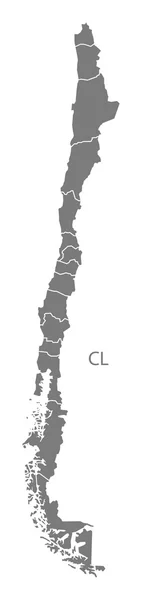
Chile Region Map Grey Outline On White Background Detailed Map Of Chile Regions Vector

Vector, 1.07MB, 8333 × 8333 eps
stock image 3D south america white map on grey

3D South America White Map On Grey

Image, 1.93MB, 4000 × 5000 jpg
stock vector South America map

South America Map

Vector, 3.27MB, 5160 × 7061 eps
stock image Argentina and Chile on grey 3D map

Argentina And Chile On Grey 3D Map

Image, 1.42MB, 5000 × 3750 jpg
Page 1 >> Next