
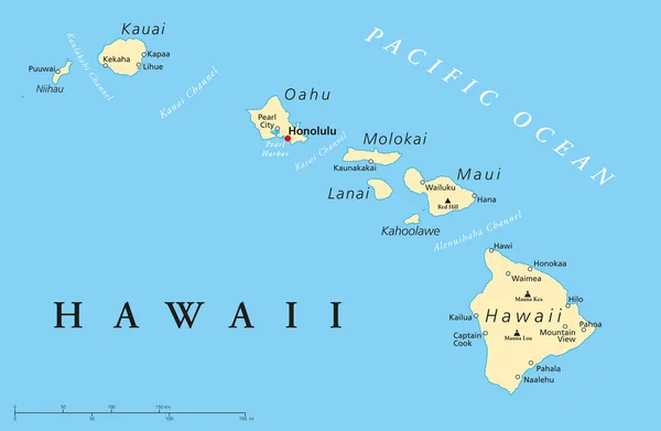
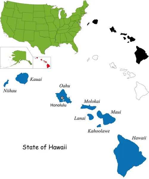
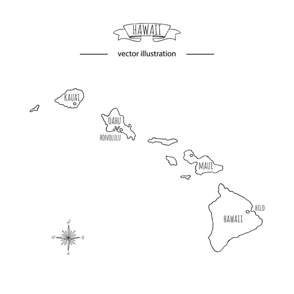
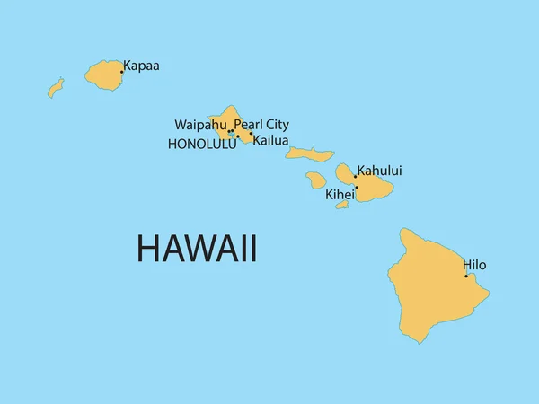
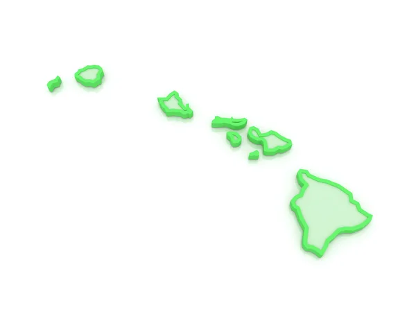
Stock image Hawaii Map


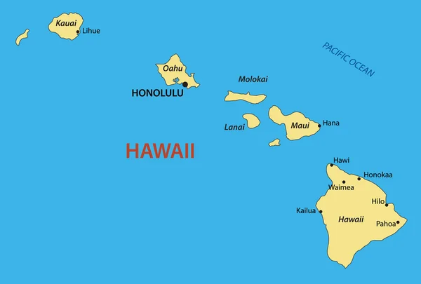
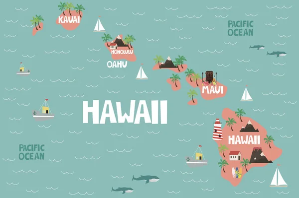
Illustrated Map Of The State Of Hawaii In United States With Cities And Landmarks. Editable Vector Illustration
Vector, 1.39MB, 3000 × 1997 eps
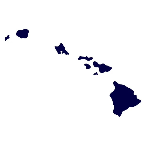
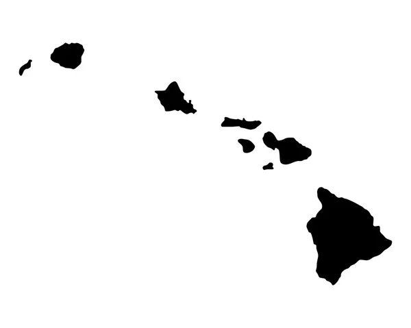
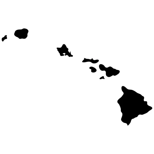
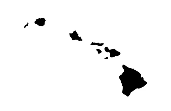
Hawaii Vector Map High Detailed Silhouette Illustration Isolated On Blue Background. Island Archipelago.
Vector, 0.35MB, 5976 × 4140 eps


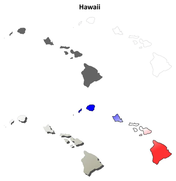
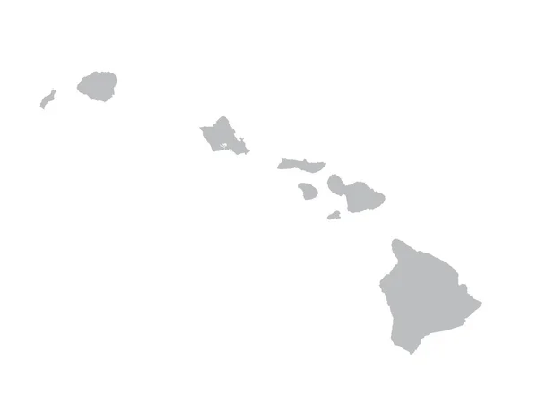
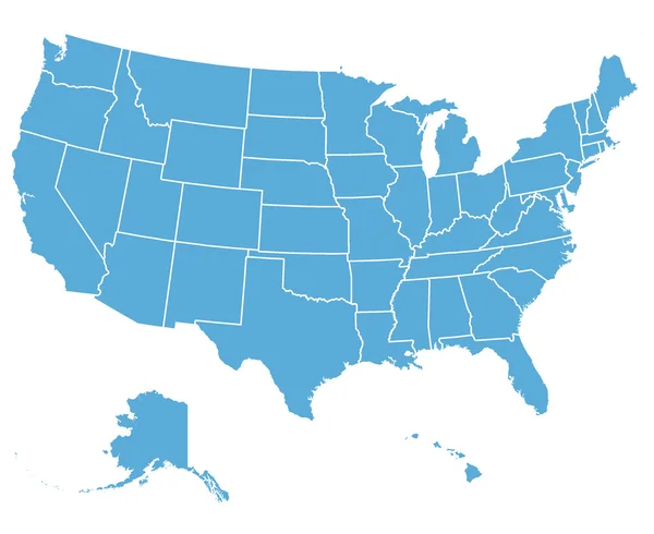
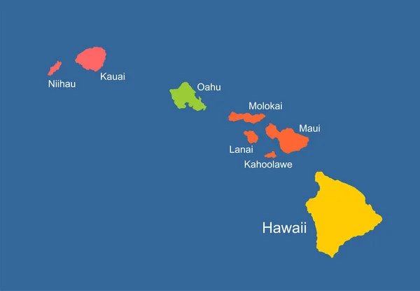
Hawaii Map. Blank Vector Map Of The Us State With Counties. Borders Of Hawaii For Your Infographic. Vector Illustration.
Vector, 0.25MB, 6723 × 4500 eps
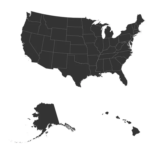
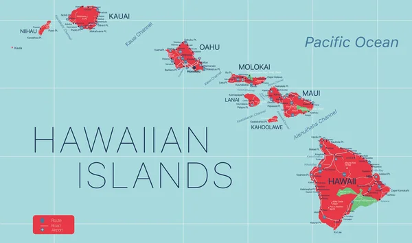
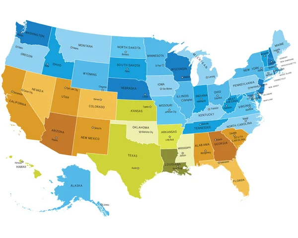
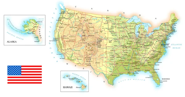
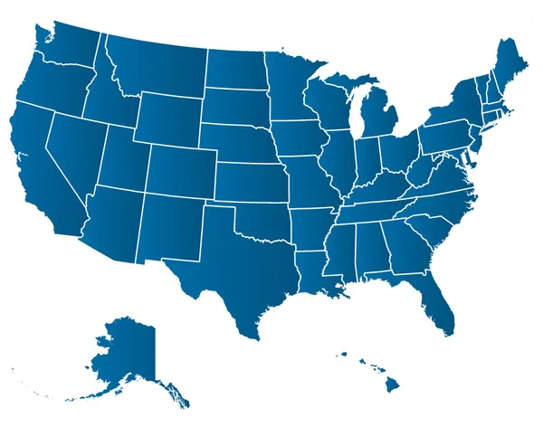
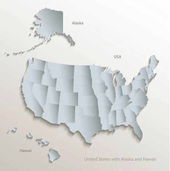
The Detailed Map Of The USA Including Alaska And Hawaii. The United States Of America
Vector, 0.68MB, 5000 × 5000 eps


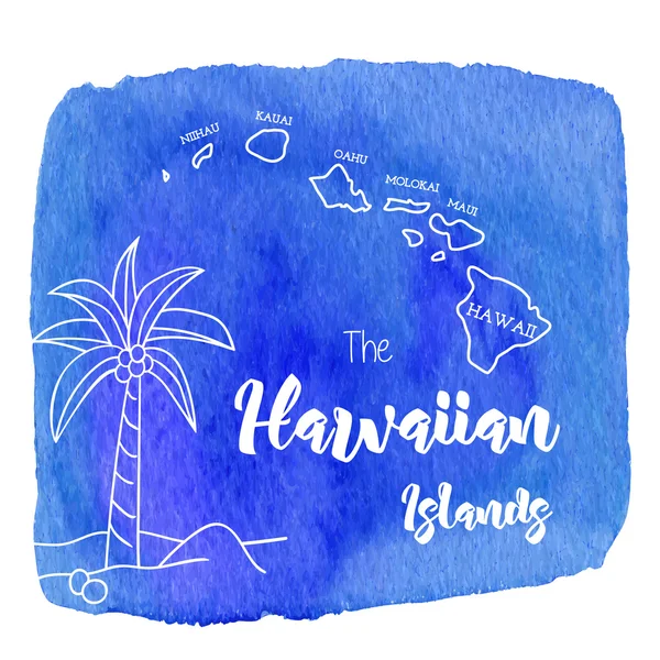
Welcome Watermark Seal And Hawaii Big Island Map Aviation Hole Mosaic
Vector, 2.98MB, 5854 × 3000 eps

Map Of The USA In The Colors Of The Flag With Administrative Divisions Vector
Vector, 1.02MB, 5031 × 3400 eps
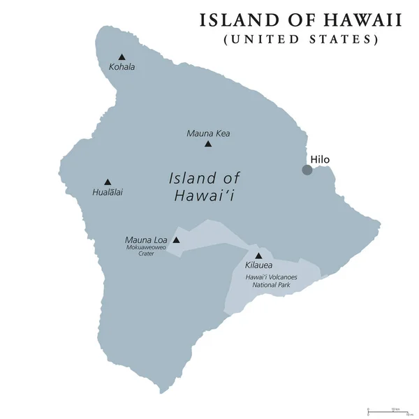
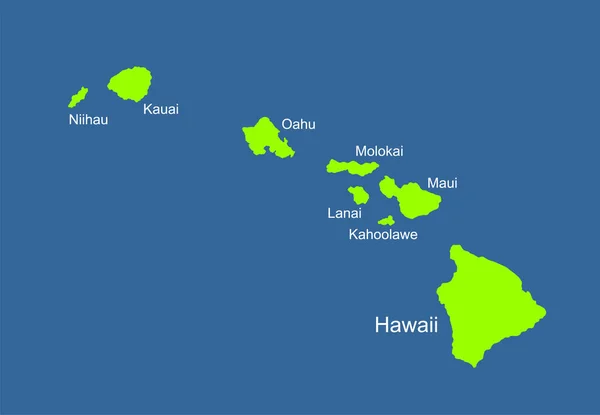
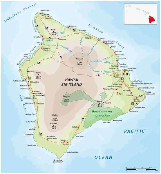
Island Of Hawaii, Gray Colored Political Map. Largest Island In The U.S. State Of Hawaii In The North Pacific Ocean. Big Island, Big I, Hawaii Island. English Labeling. Illustration Over White. Vector
Vector, 3.51MB, 8033 × 8033 eps

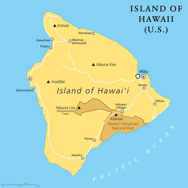
Island Of Hawaii, Political Map. Largest Island Located In The U. S. State Of Hawaii In The North Pacific Ocean. Also Called Big Island, Big I Or Hawaii Island. English Labeling. Illustration. Vector
Vector, 3.74MB, 8033 × 8033 eps


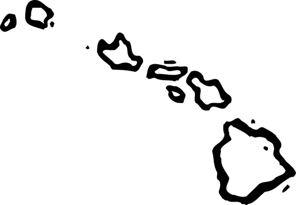
Vector Polygonal Hawaii Map Map Of The Island With Network Mesh Background Hawaii Illustration In
Vector, 3.29MB, 5493 × 5493 eps

USA Map With Alaska And Hawaii Map Separate States Individual Names Blackboard Chalkboard Vector
Vector, 10.38MB, 5200 × 2969 eps
Hawaii Icon Network Map Of The Us State Round Hawaii Sign With Gradient Ring Technology
Vector, 0.41MB, 5488 × 5488 eps
Hawaii Vector Map High Detailed Silhouette Illustration Isolated On Blue Background. Island Archipelago.
Vector, 0.35MB, 5976 × 4140 eps
Page 1 >> Next