
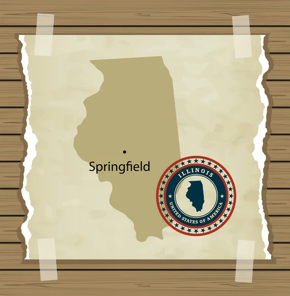
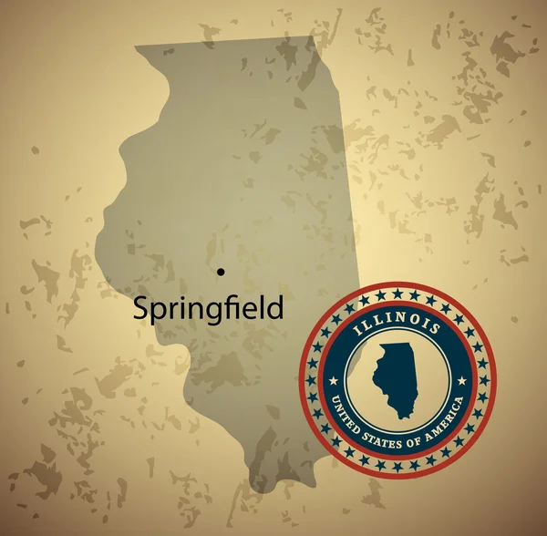
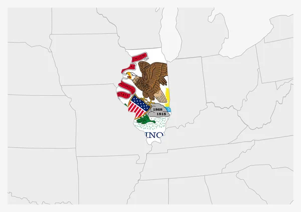
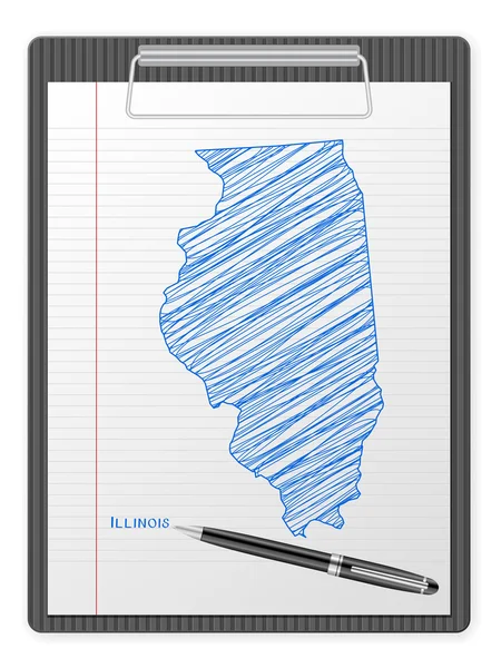
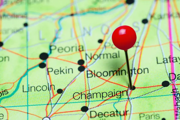
Stock image Illinois Map page 2

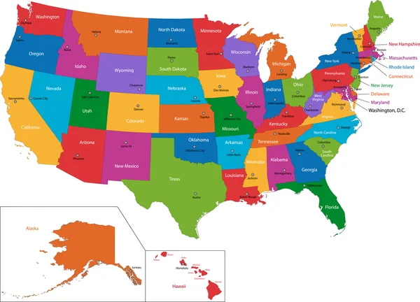

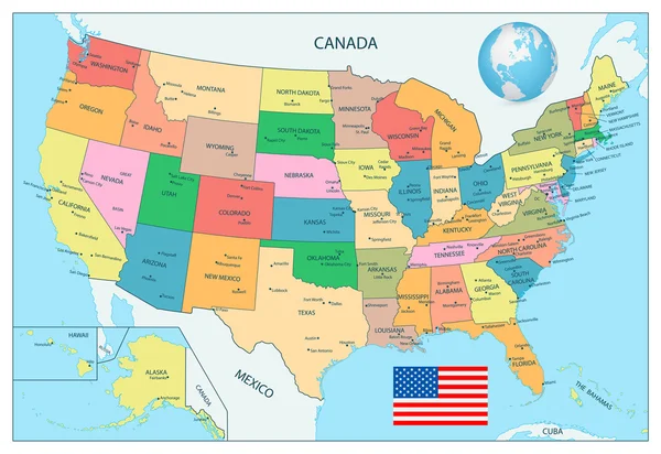

United States Census Bureau Regions Ans Divisions Map; Canadian Regions, Provinces And Territories Map. Flags And Location\navigation Icons. All Layers Detached And Labeled. Vector
Vector, 14.64MB, 9826 × 10417 eps


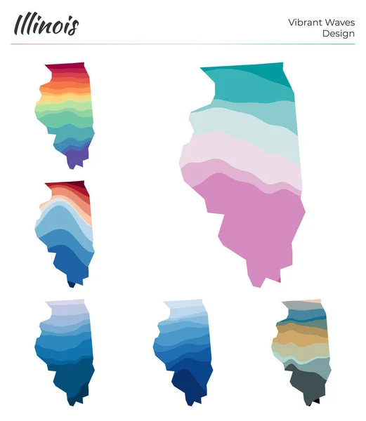
Set Of Vector Maps Of Illinois Vibrant Waves Design Bright Map Of Us State In Geometric Smooth
Vector, 1.15MB, 5121 × 5889 eps


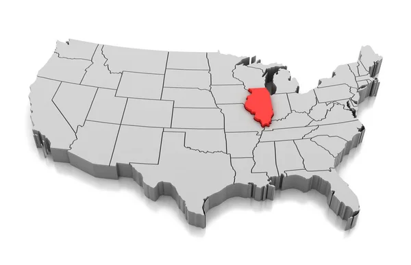

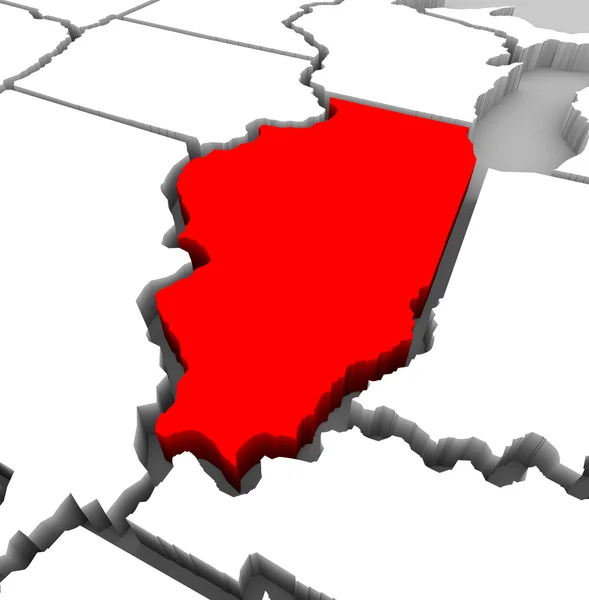

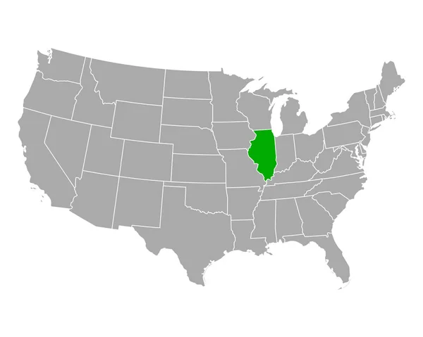
3d Map Of Illinois State With Color. United State Of America, US, United State.
Image, 5.4MB, 8000 × 8000 jpg

Map Of Peoria County In Illinois State On White Background. Single County Map Highlighted By Black Colour On Illinois Map. UNITED STATES, US
Image, 5.19MB, 8000 × 8000 jpg

Map Of Johnson County In Illinois State On White Background. Single County Map Highlighted By Black Colour On Illinois Map. UNITED STATES, US
Image, 5.2MB, 8000 × 8000 jpg

Map Of Crawford County In Illinois State On White Background. Single County Map Highlighted By Black Colour On Illinois Map. UNITED STATES, US
Image, 5.19MB, 8000 × 8000 jpg

Map Of Morgan County In Illinois State On White Background. Single County Map Highlighted By Black Colour On Illinois Map. UNITED STATES, US
Image, 5.19MB, 8000 × 8000 jpg

3d Map Of Illinois State With Color. United State Of America, US, United State.
Image, 4.95MB, 8000 × 8000 jpg

Map Of Carroll County In Illinois State On White Background. Single County Map Highlighted By Black Colour On Illinois Map. UNITED STATES, US
Image, 5.2MB, 8000 × 8000 jpg

Map Of Pulaski County In Illinois State On White Background. Single County Map Highlighted By Black Colour On Illinois Map. UNITED STATES, US
Image, 5.19MB, 8000 × 8000 jpg

Map Of Jasper County In Illinois State On White Background. Single County Map Highlighted By Black Colour On Illinois Map. UNITED STATES, US
Image, 5.19MB, 8000 × 8000 jpg

Map Of Shelby County In Illinois State On White Background. Single County Map Highlighted By Black Colour On Illinois Map. UNITED STATES, US
Image, 5.19MB, 8000 × 8000 jpg
Map Of Washington County In Illinois State On White Background. Single County Map Highlighted By Black Colour On Illinois Map. UNITED STATES, US
Image, 5.19MB, 8000 × 8000 jpg

3d Map Of Illinois State With Color. United State Of America, US, United State.
Image, 5.03MB, 8000 × 8000 jpg

Map Of Henderson County In Illinois State On White Background. Single County Map Highlighted By Black Colour On Illinois Map. UNITED STATES, US
Image, 5.19MB, 8000 × 8000 jpg

Map Of Effingham County In Illinois State On White Background. Single County Map Highlighted By Black Colour On Illinois Map. UNITED STATES, US
Image, 5.19MB, 8000 × 8000 jpg

3d Map Of Illinois State With Color. United State Of America, US, United State.
Image, 4.91MB, 8000 × 8000 jpg

Map Of Lawrence County In Illinois State On White Background. Single County Map Highlighted By Black Colour On Illinois Map. UNITED STATES, US
Image, 5.19MB, 8000 × 8000 jpg

Map Of Knox County In Illinois State On White Background. Single County Map Highlighted By Black Colour On Illinois Map. UNITED STATES, US
Image, 5.2MB, 8000 × 8000 jpg

Map Of Jersey County In Illinois State On White Background. Single County Map Highlighted By Black Colour On Illinois Map. UNITED STATES, US
Image, 5.19MB, 8000 × 8000 jpg

Map Of Alexander County In Illinois State On White Background. Single County Map Highlighted By Black Colour On Illinois Map. UNITED STATES, US
Image, 5.19MB, 8000 × 8000 jpg

Map Of Iroquois County In Illinois State On White Background. Single County Map Highlighted By Black Colour On Illinois Map. UNITED STATES, US
Image, 5.2MB, 8000 × 8000 jpg

Map Of Wabash County In Illinois State On White Background. Single County Map Highlighted By Black Colour On Illinois Map. UNITED STATES, US
Image, 5.19MB, 8000 × 8000 jpg
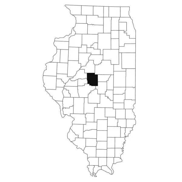
Map Of Logan County In Illinois State On White Background. Single County Map Highlighted By Black Colour On Illinois Map. UNITED STATES, US
Image, 5.2MB, 8000 × 8000 jpg

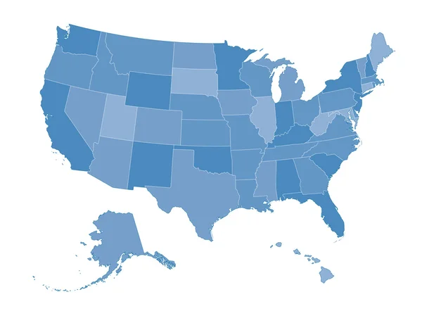
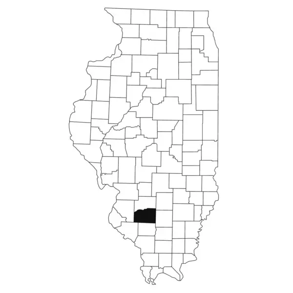
Illinois Administrative Map, Illinois Outline And Counties State Map Set - Illustration Version
Image, 4.39MB, 8000 × 6000 jpg
Previous << Page 2 >> Next