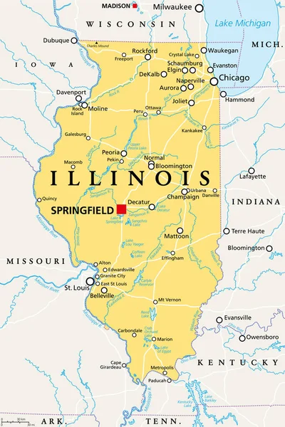
Stock vector Illinois - vector map

Published: Jul.29, 2015 06:34:56
Author: pavalena
Views: 148
Downloads: 3
File type: vector / eps
File size: 0.22 MB
Orginal size: 4287 x 4825 px
Available sizes:
Level: bronze