
Stock image Kanawha
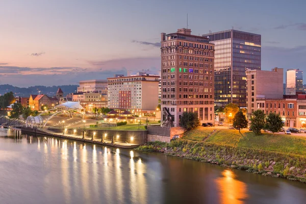
Charleston, West Virginia, USA Skyline On The Kanawha River At Dusk.
Image, 24.98MB, 8256 × 5504 jpg

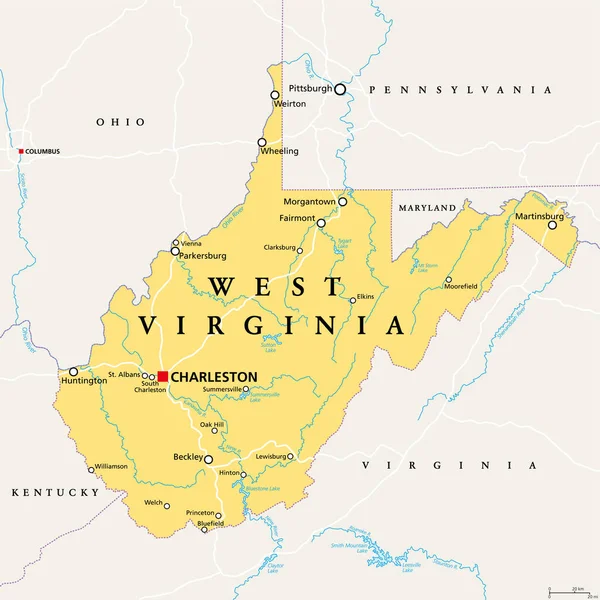
West Virginia, WV, Political Map. State In The Appalachian Region Of Southern United States Of America. Part Of Mid-Atlantic Southeast Region. Capital Charleston. Mountain State. Illustration. Vector.
Vector, 3.98MB, 6000 × 6000 eps

An Aerial View Of The West Virginia State Capitol Complex Located In The Heart Of Charleston, WV.
Image, 10.05MB, 3731 × 2796 jpg


West Virginia State Capitol On The Kanawha River In Charleston, West Virginia, USA.
Image, 23.19MB, 6600 × 4405 jpg

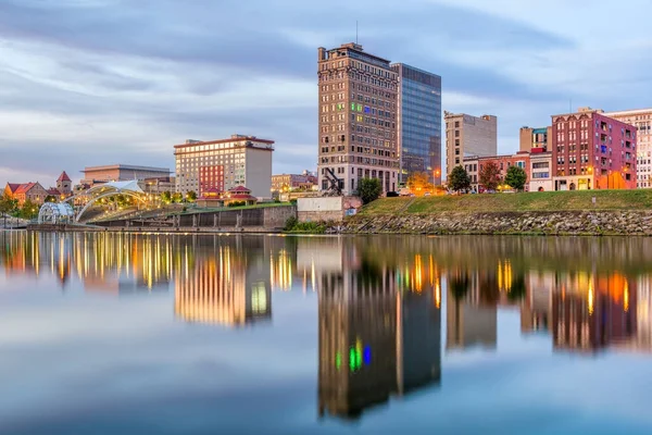
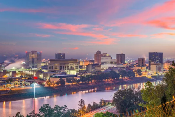
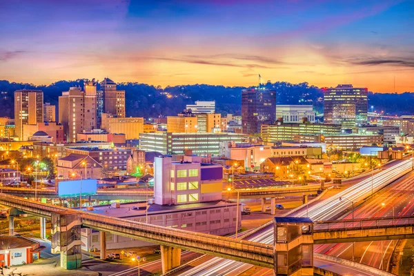
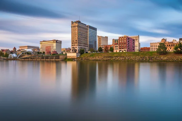
Charleston, West Virginia, USA Downtown Skyline On The River At Dusk.
Image, 32.27MB, 8256 × 5504 jpg
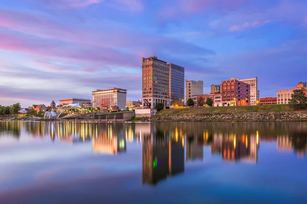

Charleston, West Virginia, USA Downtown Skyline On The River At Dusk.
Image, 31.52MB, 8256 × 5504 jpg


Historical Statue And Dome Of The West Virginia Capitol Building In Charleston Against A Blight Blue Autumn Sky
Image, 13.12MB, 5113 × 3409 jpg

West Virginia Counties, Political Map With Borders And County Names. Landlocked State In The Southeastern And Mid-Atlantic Regions Of The United States, Subdivided Into 55 Counties. Illustration
Vector, 1.52MB, 6571 × 6000 eps
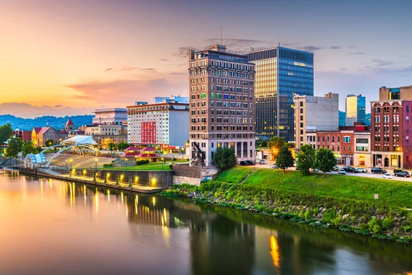
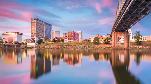
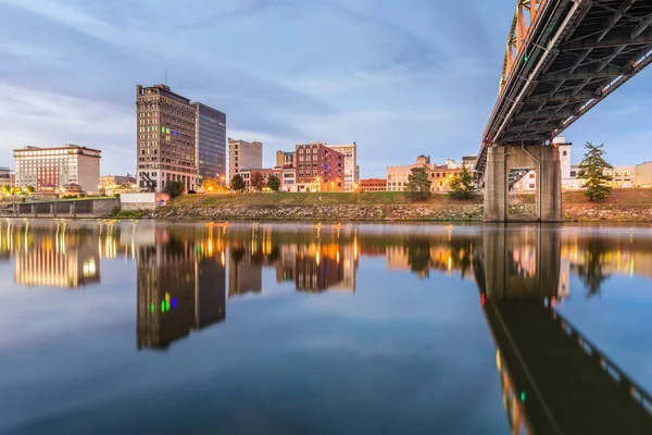
Charleston, West Virginia, USA Downtown Skyline On The Kanawha River At Dusk.
Image, 17.63MB, 7360 × 4912 jpg


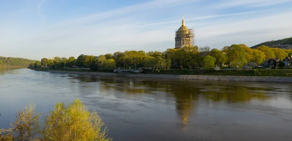
The West Virginia State Capitol Complex Located In The Heart Of Charleston, WV.
Image, 25.91MB, 8835 × 5890 jpg

An Aerial View Of The West Virginia State Capitol Complex Located In The Heart Of Charleston, WV.
Image, 24.41MB, 4882 × 3656 jpg


West Virginia Counties, Gray Political Map With Borders And County Names. Landlocked State In The Southeastern And Mid-Atlantic Regions Of The United States, Subdivided Into 55 Counties. Illustration
Vector, 1.32MB, 6612 × 6000 eps


The 293-foot Gold Atop The Capitol Is Five Feet Taller Than The Dome Of The United States Capitol. The Dome Is Covered In Copper And Gold Leaf. The Dome Was Originally Gilded By Mack Jenney And Tyler Company In 1931.
Image, 29.6MB, 8171 × 6119 jpg
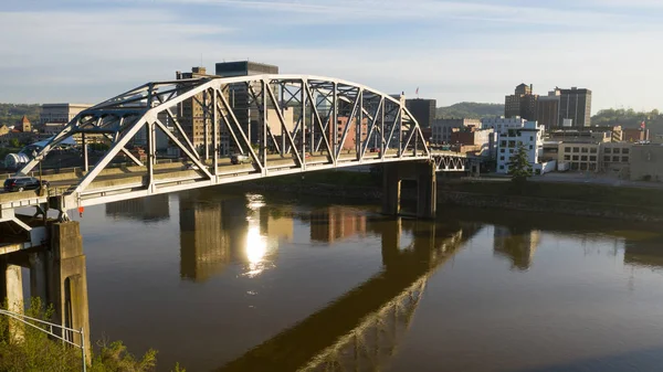
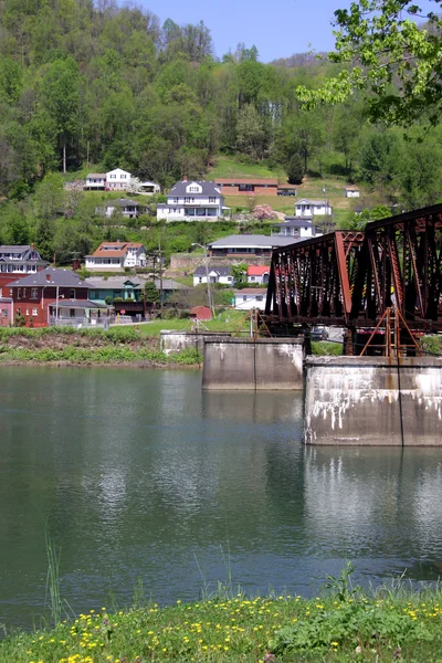
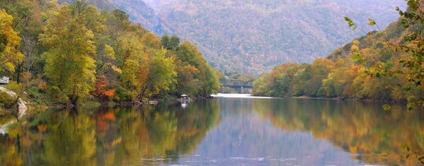
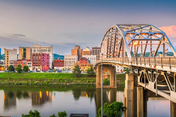
South Side Bridge Over Kanawha River Charleston West Virginia State Capitol
Image, 8.65MB, 5464 × 3070 jpg


Charleston, West Virginia, USA Skyline On The Kanawha River At Dusk.
Image, 23.19MB, 8256 × 5504 jpg


The 293-foot Gold Atop The Capitol Is Five Feet Taller Than The Dome Of The United States Capitol. The Dome Is Covered In Copper And Gold Leaf. The Dome Was Originally Gilded By Mack Jenney And Tyler Company In 1931. The Dome Was Restored To The Ori
Image, 28.45MB, 5278 × 8370 jpg
Page 1 >> Next