
Stock image Kavrayskiy
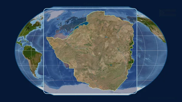
Zoomed-in View Of Zimbabwe Outline With Perspective Lines Against A Global Map In The Kavrayskiy Projection. Shape Centered. Satellite Imagery
Image, 3.11MB, 2880 × 1620 jpg
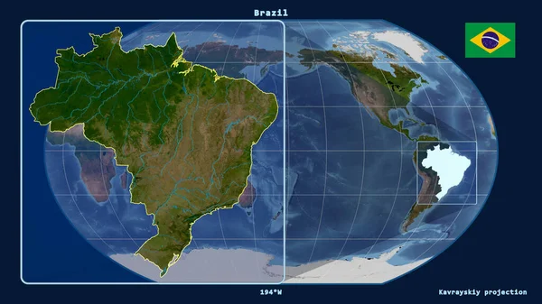
Zoomed-in View Of Brazil Outline With Perspective Lines Against A Global Map In The Kavrayskiy Projection. Shape On The Left Side. Satellite Imagery
Image, 3.13MB, 2880 × 1620 jpg
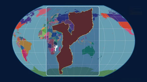
Zoomed-in View Of Mozambique Outline With Perspective Lines Against A Global Map In The Kavrayskiy Projection. Shape Centered. Color Map Of Administrative Divisions
Image, 1.46MB, 2880 × 1620 jpg

Zoomed-in View Of Switzerland Outline With Perspective Lines Against A Global Map In The Kavrayskiy Projection. Shape On The Left Side. Color Physical Map
Image, 3.54MB, 2880 × 1620 jpg
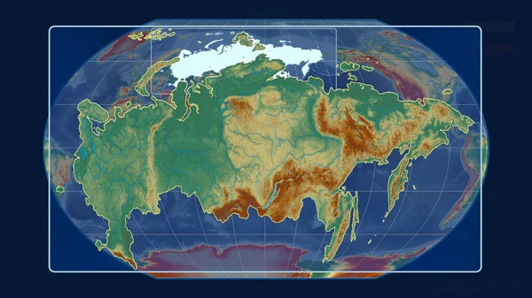
Zoomed-in View Of Russia Outline With Perspective Lines Against A Global Map In The Kavrayskiy Projection. Shape Centered. Topographic Relief Map
Image, 3.25MB, 2880 × 1620 jpg

Philippine Sea Tectonic Plate Outlined On The Global Satellite Imagery In The Kavrayskiy Projection. 3D Rendering
Image, 4.84MB, 2880 × 1620 jpg
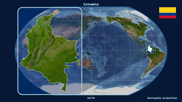
Zoomed-in View Of Colombia Outline With Perspective Lines Against A Global Map In The Kavrayskiy Projection. Shape On The Left Side. Satellite Imagery
Image, 3.01MB, 2880 × 1620 jpg

Zoomed-in View Of El Salvador Outline With Perspective Lines Against A Global Map In The Kavrayskiy Projection. Shape Centered. Topographic Relief Map
Image, 3.23MB, 2880 × 1620 jpg
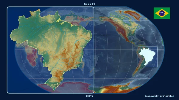
Zoomed-in View Of Brazil Outline With Perspective Lines Against A Global Map In The Kavrayskiy Projection. Shape On The Left Side. Topographic Relief Map
Image, 2.99MB, 2880 × 1620 jpg
Page 1 >> Next