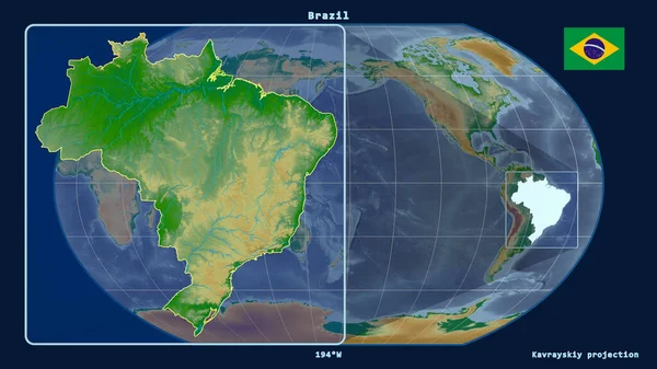
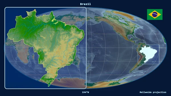
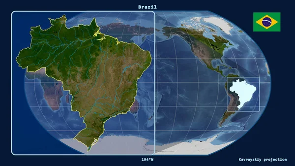
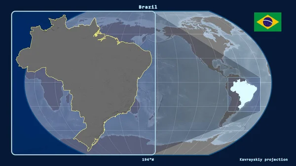
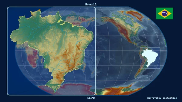
Stock image Zoomed-in view of Brazil outline with perspective lines against a global map in the Kavrayskiy projection. Shape on the left side. topographic relief map
Published: Aug.18, 2020 11:49:21
Author: Yarr65
Views: 2
Downloads: 1
File type: image / jpg
File size: 2.99 MB
Orginal size: 2880 x 1620 px
Available sizes:
Level: bronze