
Stock image Land Registration page 2

Imaginary Cadastral Map Of Territory With Buildings, Roads And Land Parcel - Land Registry Concept With Calculator And Magnifying Glass
Image, 13.31MB, 5286 × 3526 jpg
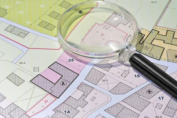
Imaginary Cadastral Map With Buildings, Land Parcel And Vacant Plot - Property Registry And Real Estate Concept Seen Through A Magnifying Glass
Image, 11.26MB, 5604 × 3736 jpg
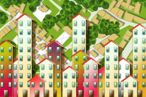
Real Estate Concept With An Imaginary Cadastral Map Of Territory With Buildings, Roads And Land Parcel - Land Registry Concept Illustration - Note: The Map Background Is Totally Invented And Does Not Represent Any Real Place
Image, 12.19MB, 4752 × 3168 jpg
Imaginary Cadastral Map With Buildings, Land Parcel And Vacant Plot Printed On Pape
Image, 15.44MB, 5760 × 3840 jpg

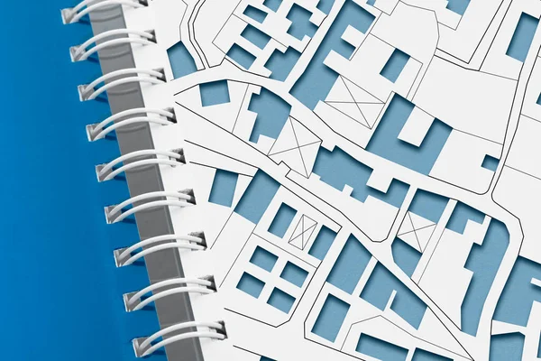
Hand Drawing An Imaginary Cadastral Map Of Territory With Buildings And Land Parcel - Concept With Smarphone.
Image, 7.91MB, 4752 × 3168 jpg

Handshake Against An Imaginary Cadastral Map Of Territory With Buildings And Land Parcel - Real Estate And Building Activity Agreements, Cooperation, Partnership And Business
Image, 6.47MB, 4632 × 3088 jpg
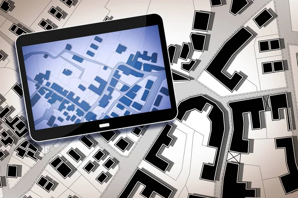
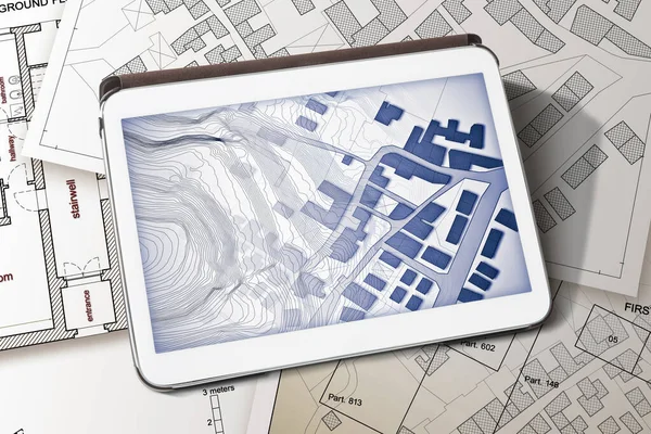
Imaginary Cadastral Map Of Territory With Buildings And Land Parcel - Concept With 3D Render Of A Digital Tablet
Image, 10.95MB, 7302 × 4860 jpg
Imaginary Cadastral Map Of Territory With Buildings And Land Parcel - Concept Image With A Digital Tablet - Note: The Map Background Is Totally Invented And Does Not Represent Any Real Place.
Image, 11.99MB, 5760 × 3840 jpg
Imaginary Cadastral Map With Buildings, Land Parcel And Vacant Plot - Land And Property Registry And Real Estate Property Concept Illustration
Image, 13.42MB, 5760 × 3840 jpg
Imaginary Cadastral Map With Buildings, Land Parcel And Vacant Plot - Land And Property Registry And Real Estate Property Concept Illustration
Image, 14.58MB, 5760 × 3840 jpg
Imaginary Cadastral Map With Buildings, Land Parcel And Vacant Plot - Land And Property Registry And Real Estate Property Concept Illustration
Image, 13.62MB, 5760 × 3840 jpg
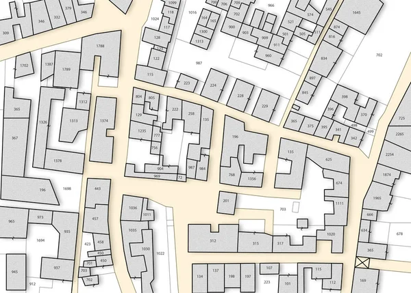
Imaginary Cadastral Map Of Territory With Buildings, Roads And Land Parcel - Land Registry Concept
Image, 9.77MB, 5760 × 3840 jpg
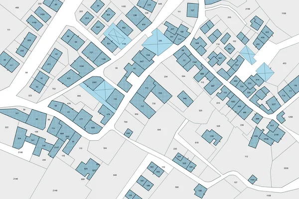
Imaginary Cadastral Map With Buildings, Land Parcel And Vacant Plot - Land Records And Property Registry Concept
Image, 11.3MB, 5745 × 4114 jpg
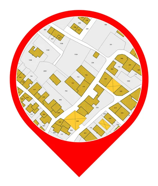
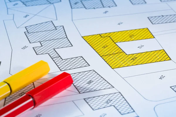
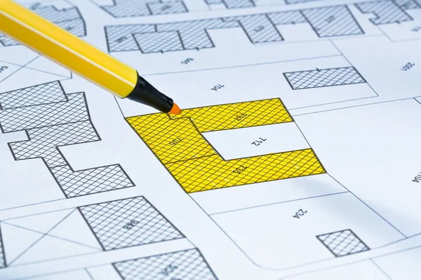
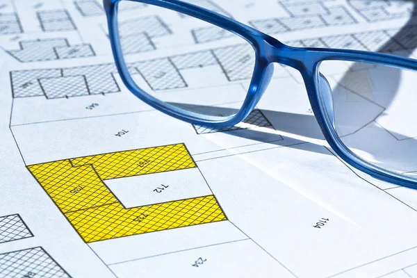
Imaginary Cadastral Map With Buildings, Land Parcel And Vacant Plot - Icon Concept
Image, 4.6MB, 3880 × 4574 jpg

Register Old Buildings At Buildings Cadastre For Taxation - Land Registry Concept With An Imaginary Cadastral Map Of Territory And Old Italian Historic Buildings
Image, 7.78MB, 4666 × 2333 jpg

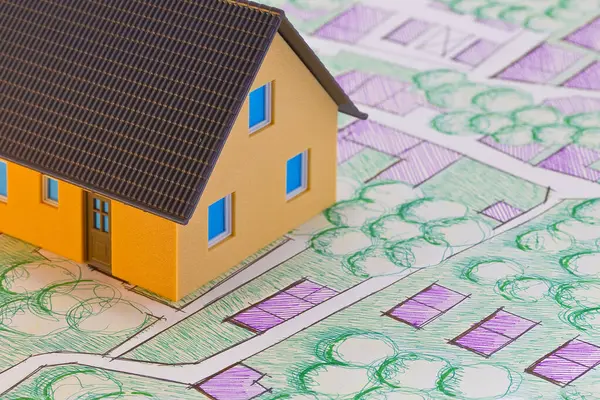
Imaginary Cadastral Map Of Territory With Buildings And Land Parcel - Concept With A Small Cardboard House And Calculator
Image, 11.68MB, 5760 × 3840 jpg

Planning 2024 Concept With Imaginary Cadastral Map, Buildings, Land Parcel And Vacant Plot - Land Records And Property Registry With Cadastre Documentation And Ownership Parcel Identification
Image, 9.72MB, 9489 × 3163 jpg
Costs Of Building Plot - Real Estate Concept With A Vacant Land Available For Building Construction And Housing Subdivision In A Residential Area For Sale And Calculator With Text
Image, 16.27MB, 6336 × 3168 jpg

Rural Urban Transformation Concept With A Rural Scene, Agricultural Field And Tree With And Imaginary Cadastral Map
Image, 19.48MB, 5760 × 3840 jpg

Imaginary Cadastral Map Of Territory With Buildings And Home Models - Concept With Hand Holding A Card With Question Mark.
Image, 13.88MB, 5760 × 3840 jpg
Real Estate Concept With Home Model On Imaginary Cadastral Map Of Territory With Public Park And Green Areas
Image, 14.04MB, 5760 × 3840 jpg

Imaginary Cadastral Map With Buildings, Land Parcel And Vacant Plot - Land Records And Property Registry With Cadastre Documentation And Ownership Parcel Identification
Image, 17.89MB, 5760 × 3840 jpg
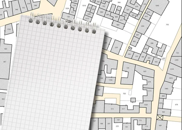
Imaginary Cadastral Map Of Territory With Buildings, Roads, Land Parcel And Notepad With Copy Space
Image, 9.96MB, 5700 × 4080 jpg

Imaginary Cadastral Map With Cadastral Parcels, Vacant Land Plots And Condominium Residential Building Model
Image, 12.38MB, 5760 × 3840 jpg

Imaginary Cadastral Map With Buildings, Land Parcel And Vacant Plot Printed On Paper
Image, 8.71MB, 5284 × 3520 jpg

Imaginary Cadastral Map Of Territory With Buildings And Home Models - Real Estate Concept With Question Mark.
Image, 16.74MB, 5760 × 3840 jpg

REGISTER BUILDINGS AT BUILDINGS CADASTRE For Taxation - Land Registry Concept With An Imaginary Cadastral Map Of Territory And Old Historic Buildings - Planning A New City Concept
Image, 8.42MB, 6669 × 2672 jpg

Real Estate Property Concept With Cardboard House And Imaginary Cadastral Map, General Urban Plan With Buildings, Land Parcel And Indications Of Urban Destinations
Image, 11.29MB, 5760 × 3840 jpg

Imaginary Cadastral Map With Buildings, Land Parcel And Vacant Plot - Land Records And Property Registry With Cadastre Documentation And Ownership Parcel Identification.
Image, 19.3MB, 7000 × 4953 jpg

PROPERTY VALUE OF A BUILDING - Concept With An Imaginary Cadastral Map An 3D Rendering Of A Digital Tablet Wito A Cityscape - Note: The Map Background Is Totally Invented And Does Not Represent Any Real Place.
Image, 7.29MB, 6336 × 3168 jpg
Imaginary Cadastral Map With Buildings, Land Parcel And Vacant Plot Printed On Paper
Image, 7.43MB, 5284 × 3520 jpg

Imaginary Cadastral Map And Computer Mouse With Buildings, Land Parcel And Vacant Plot - Land Records And Property Registry With Cadastre Documentation And Ownership Parcel Identification
Image, 6.76MB, 4752 × 3168 jpg

Imaginary Cadastral Map With Buildings, Land Parcel And Vacant Plot - Land Records And Property Registry With Cadastre Documentation And Ownership Parcel Identification - Web Banner Design Concept
Image, 8.83MB, 8000 × 2667 jpg

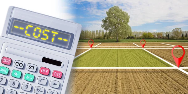
Imaginary Cadastral Map Of Territory With Buildings, Roads And Land Parcel - Land Registry Concept With Calculator And Costs Text
Image, 20.97MB, 5256 × 3504 jpg

Imaginary Cadastral Map Of Territory With Buildings, Roads And Land Parcel - Land Registry Concept
Image, 8.63MB, 5760 × 3840 jpg

Imaginary Cadastral Map With Buildings, Land Parcel And Vacant Plot - Land Records And Property Registry Web Design Banner Concept With Copy Space And Space For Text
Image, 6.54MB, 7872 × 3168 jpg

Imaginary Cadastral Map With Buildings, Land Parcel And Vacant Plot Printed On Paper
Image, 7.7MB, 5284 × 3520 jpg

Imaginary Cadastral Map With Buildings, Land Parcel And Vacant Plot Printed On Paper - Banner Design Concept With Copy Spac
Image, 9.89MB, 7466 × 3168 jpg

Imaginary Cadastral Map With Buildings, Land Parcel, Vacant Plot And Roads
Image, 13.34MB, 5751 × 4147 jpg

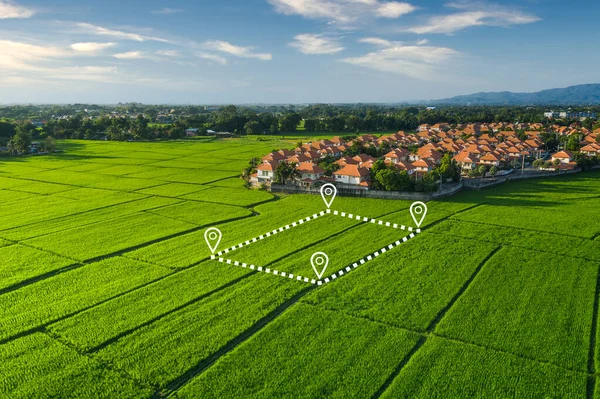
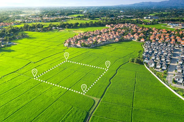
Land Plot In Aerial View. Gps Registration Survey Of Property, Real Estate For Map With Location, Area. Concept For Residential Construction And Development. Also Home, House For Sale, Buy, Purchase,
Image, 12.23MB, 5464 × 3640 jpg
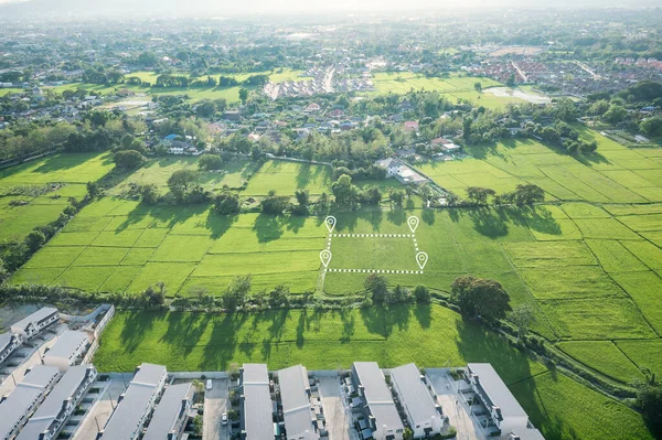
Land Plot In Aerial View. Identify Registration Symbol Of Vacant Area For Map. That Property, Real Estate For Business Of Home, House Or Residential I.e. Construction, Development, Sale, Rent And Buy.
Image, 16.35MB, 5464 × 3640 jpg
Land Plot In Aerial View. Identify Registration Symbol Of Vacant Area For Map. That Property, Real Estate For Business Of Home, House Or Residential I.e. Construction, Development, Sale, Rent And Buy.
Image, 20.01MB, 5464 × 3640 jpg

Land Plot In Aerial View. Identify Registration Symbol Of Vacant Area For Map. Real Estate Or Property For Business Of Home, House Or Residential I.e. Construction, Development, Sale, Buy, Investment.
Image, 17.22MB, 5464 × 3640 jpg
Land Plot In Aerial View. Identify Registration Symbol Of Vacant Area For Map. That Property, Real Estate For Business Of Home, House Or Residential I.e. Construction, Development, Sale, Rent, Buy.
Image, 15MB, 5464 × 3640 jpg

Land Plot In Aerial View. Gps Registration Survey Of Property, Real Estate For Map With Location, Area. Concept For Residential Construction And Development. Also Home, House For Sale, Buy, Purchase,
Image, 12.86MB, 5464 × 3640 jpg

Land Plot In Aerial View. Identify Registration Symbol Of Vacant Area For Map. That Property, Real Estate For Business Of Home, House Or Residential I.e. Construction, Development, Sale, Rent, Buy.
Image, 20.47MB, 5464 × 3640 jpg

Land Plot In Aerial View. Identify Registration Symbol Of Vacant Area For Map. That Property, Real Estate For Business Of Home, House Or Residential I.e. Sale, Rent, Buy, Purchase Or Investment.
Image, 12.16MB, 5464 × 3640 jpg

Land Plot In Aerial View. Identify Registration Symbol Of Vacant Area For Map. That Property, Real Estate For Business Of Home, House Or Residential I.e. Construction, Development, Sale, Rent And Buy.
Image, 12.09MB, 5464 × 3640 jpg

Land Plot In Aerial View. Gps Registration Survey Of Property, Real Estate For Map With Location, Area. Concept For Residential Construction And Development. Also Home, House For Sale, Buy, Investment
Image, 13.17MB, 5464 × 3640 jpg

Land Plot In Aerial View. Identify Registration Symbol Of Vacant Area For Map. Real Estate Or Property For Business Of Home, House Or Residential I.e. Construction, Development, Sale, Buy, Investment.
Image, 11.97MB, 5464 × 3640 jpg
Previous << Page 2 >> Next