Home
Images
Vectors
Videos
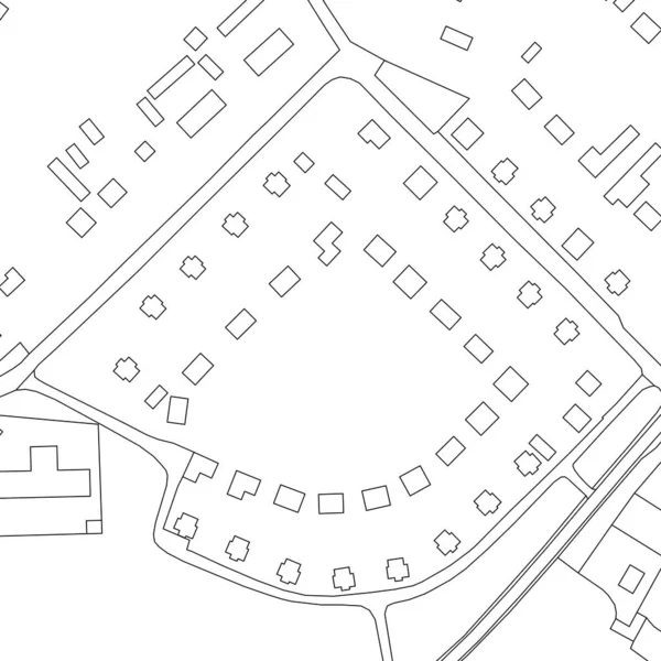
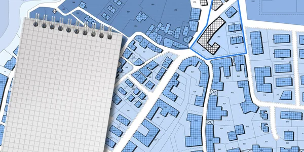
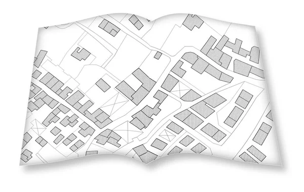
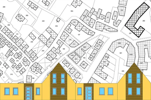
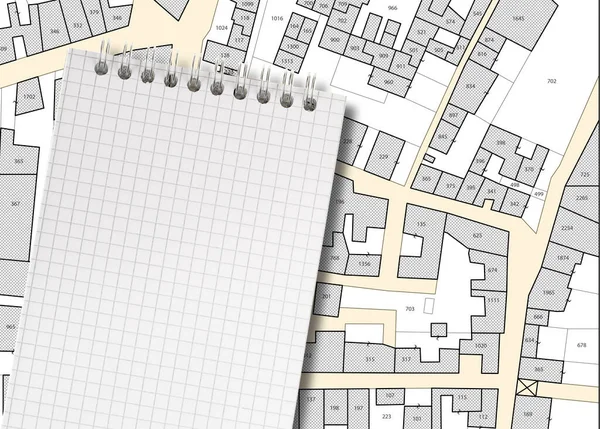
Stock image Imaginary cadastral map of territory with buildings, roads, land parcel and notepad with copy space
Published:
Feb.09, 2022 14:45:19
Author:
Francescoscatena
Views:
9
Downloads:
1
File type:
image
/
jpg
File size:
9.96 MB
Orginal size:
5700
x
4080
px
Available sizes:
S
(500 x 358)
M
(1000 x 716)
L
(2000 x 1432)
XL
(5700 x 4080)
EL0
(5700 x 4080)
Level:
bronze
Download Image
Image topics:
Paper
Concepts
Concept
Building
City
Blank
Document
Note
Planning
Information
Notepad
Project
Property
Page
Town
Map
Plan
Land
Apartment
Conceptual
Housing
Topography
Blueprint
Survey
Taxation
Subdivision
Mapping
Urbanism
Valuation
Cadastre
Copy Space
Residential District
City Planning
Urban Planning
Topographic Map
Residential Development
Cadastral
Land Registry
Land Plot
Buildable
Building Activity
Land Register
Cadastral Parcel
Cadastral Map
Cadastral Survey
Land Registration
Subdivision Plan
Zoning District
Similar stock images
Part Of Urban Plan Of A Town. Vector Map For Your Design.
8333 × 8333
Abstract Drawing Lines In Architectural Art Concept, Minimal Geometrical Shapes.
2400 × 2355
Minimal Geometrical Shapes, Architectural Lines
4000 × 4104
Abstract Color Seamless Pattern For New Background.
3333 × 3333
3D Rendering Of Colored Work Tool Over A Cadastral Map Of Territ
5751 × 4147
Imaginary Cadastral Map Of Territory With Buildings, Roads, Land Parcel And Notepad With Copy Space
8160 × 4080
Hand Drawing An Imaginary Cadastral Map Of Territory With Buildi
5546 × 3515
Imaginary Cadastral Map Of Territory With Buildings And Land Parcel - Concept With A Cardboard House
6745 × 4488