photo free
Home Images Vectors Videos

Stock image Libya Map page 2

stock vector Dotted Map of Libya

Dotted Map Of Libya

Vector, 0.61MB, 2401 × 2401 eps
stock vector Doodle Map of Libya With States

Doodle Map Of Libya With States

Vector, 2.27MB, 2401 × 2401 eps
stock vector Libya Detailed Map With Regions

Libya Detailed Map With Regions

Vector, 0.87MB, 2401 × 2401 eps
stock vector Gray Divided Map of Libya

Gray Divided Map Of Libya

Vector, 0.35MB, 2401 × 2401 eps
stock vector Map of Libya and flags of Libya on flag stand.

Map Of Libya And Flags Of Libya On Flag Stand.

Vector, 1.15MB, 7500 × 5000 eps
stock vector Libya Flag in Map, Libya Map with Flag, Country Map, Libya Map with Flag, Nation Flag Libya

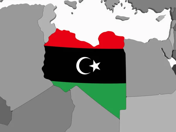
Libya Flag In Map, Libya Map With Flag, Country Map, Libya Map With Flag, Nation Flag Libya

Vector, 5.29MB, 6700 × 6371 eps
stock vector Libya blank outline map set

Libya Blank Outline Map Set

Vector, 3.62MB, 6000 × 3000 eps
stock image Libya on gray political globe with embedded flag. 3D illustration.

Libya On Gray Political Globe With Embedded Flag. 3D Illustration.

Image, 1.71MB, 5000 × 3750 jpg
stock vector Libya Map - Detailed Vector Illustration

Libya Map - Detailed Vector Illustration

Vector, 1.64MB, 5500 × 6599 eps
stock vector Tripoli Libya Map in Black and White Color.

Tripoli Libya Map In Black And White Color.

Vector, 2.42MB, 8150 × 4702 eps
stock image Libya on the Map

Libya On The Map

Image, 4.18MB, 5184 × 3456 jpg
stock vector Libya map

Libya Map

Vector, 8.79MB, 7000 × 7000 eps
stock image Libya map on Libya flag drawing ,grunge and retro flag series

Libya Map On Libya Flag Drawing ,grunge And Retro Flag Series

Image, 8.53MB, 6009 × 5000 jpg
stock vector Africa vintage detailed map print poster design. Vector illustra

Africa Vintage Detailed Map Print Poster Design. Vector Illustra

Vector, 7.97MB, 5556 × 5556 eps
stock vector Map of Maghreb countries - Northwest Africa states blue highlighted in World map. Vector illustration

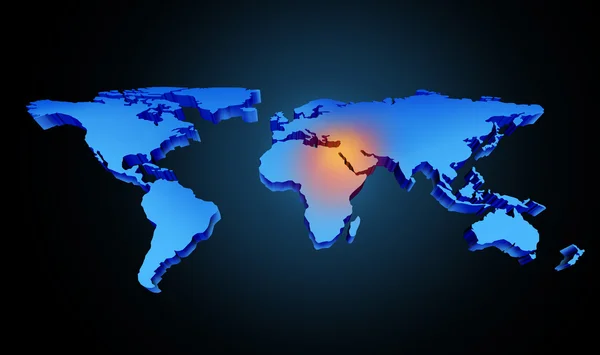
Map Of Maghreb Countries - Northwest Africa States Blue Highlighted In World Map. Vector Illustration

Vector, 12.69MB, 6000 × 4500 eps
stock vector Africa Map - Vintage Detailed Vector Illustration

Africa Map - Vintage Detailed Vector Illustration

Vector, 9.25MB, 5623 × 5293 eps
stock vector Map markers with flags - Africa. Original colors.

Map Markers With Flags - Africa. Original Colors.

Vector, 3.53MB, 4000 × 4429 eps
stock vector Editable map of Africa with all countries.

Editable Map Of Africa With All Countries.

Vector, 3.28MB, 4167 × 4595 eps
stock vector Old vintage map of Northern Africa and the Middle East

Old Vintage Map Of Northern Africa And The Middle East

Vector, 5.54MB, 8188 × 4934 eps
stock image Three-dimensional map of Libya on white isolated background

Three-dimensional Map Of Libya On White Isolated Background

Image, 2.74MB, 4400 × 3300 jpg
stock vector Africa map and country contours - Illustration.

Africa Map And Country Contours - Illustration.

Vector, 6.32MB, 5400 × 4411 eps
stock image Global Middle East Crisis

Global Middle East Crisis

Image, 1.73MB, 3800 × 2252 jpg
stock vector Map of Africa.

Map Of Africa.

Vector, 2.69MB, 3065 × 3076 eps
stock image North africa conflicts 2011 - egypt tunesia libya yemen

North Africa Conflicts 2011 - Egypt Tunesia Libya Yemen

Image, 1.34MB, 4000 × 3000 jpg
stock vector Map of Africa

Map Of Africa

Vector, 5.24MB, 5968 × 3013 eps
stock vector OPEC, Organization of the Petroleum Exporting Countries. World map with black highlighted member states since 2017. Vector illustration

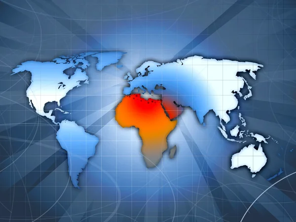
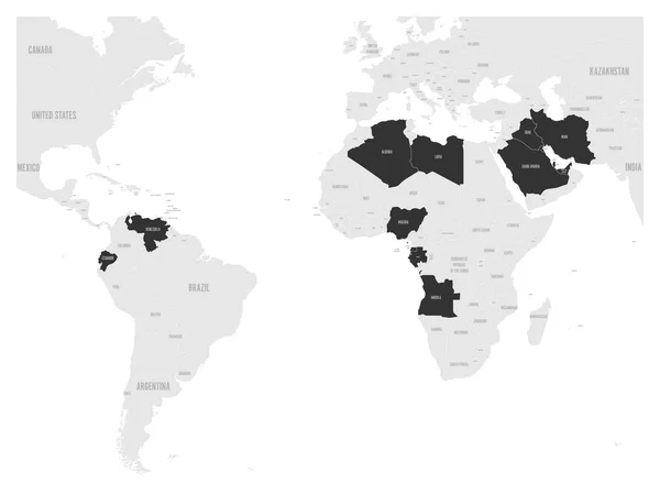
OPEC, Organization Of The Petroleum Exporting Countries. World Map With Black Highlighted Member States Since 2017. Vector Illustration

Vector, 2.11MB, 6000 × 4500 eps
stock vector Set of world map, countries. Vector illustration. Isolated on white background

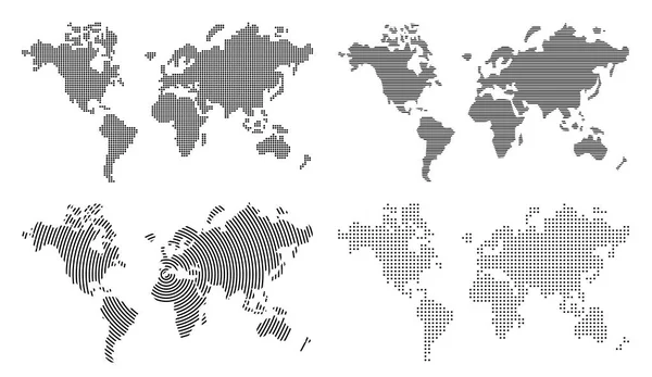
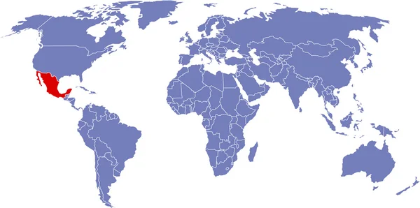
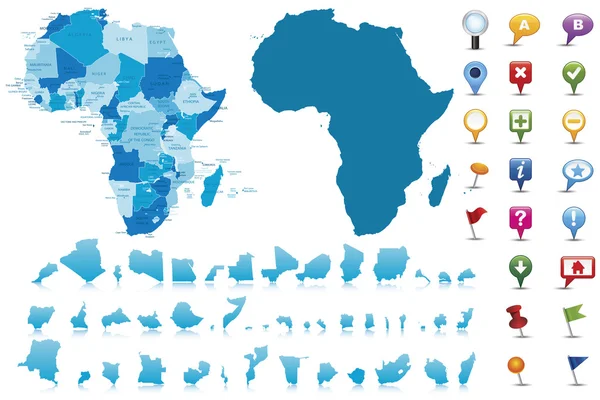
Set Of World Map, Countries. Vector Illustration. Isolated On White Background

Vector, 2.07MB, 10799 × 6250 eps
stock image Africa continent  map, illustration

Africa Continent Map, Illustration

Image, 28.35MB, 4724 × 4724 jpg
stock vector Map of Libya. Vector illustration

Map Of Libya. Vector Illustration

Vector, 0.55MB, 6250 × 5000 eps
stock image Global map

Global Map

Image, 5.67MB, 9859 × 4909 jpg
stock vector Blue map of Africa with flag against white background

Blue Map Of Africa With Flag Against White Background

Vector, 1.9MB, 6289 × 5907 eps
stock vector Map flags of Africa in tree design.

Map Flags Of Africa In Tree Design.

Vector, 7.43MB, 7000 × 4900 eps
stock vector Map of Africa.

Map Of Africa.

Vector, 3.78MB, 2775 × 2915 eps
stock vector Africa highly detailed and editable simple political map

Africa Highly Detailed And Editable Simple Political Map

Vector, 2.42MB, 2940 × 4176 eps
stock vector Pinned countries flags on map of Africa

Pinned Countries Flags On Map Of Africa

Vector, 0.25MB, 5000 × 4839 ai
stock vector Libya network map.

Libya Network Map.

Vector, 11.07MB, 8333 × 8333 eps
stock image Global map

Global Map

Image, 5.67MB, 9859 × 4909 jpg
stock vector Map of Africa with separated countries.

Map Of Africa With Separated Countries.

Vector, 7.18MB, 6001 × 4265 eps
stock vector Railway and political map of Europe and North Africa. European cities. Political map with the border of the states. Urban areas. Railway line.

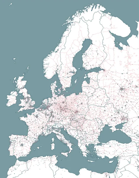
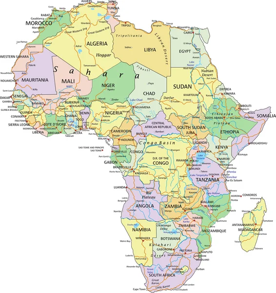
Railway And Political Map Of Europe And North Africa. European Cities. Political Map With The Border Of The States. Urban Areas. Railway Line.

Vector, 22.52MB, 4445 × 5667 eps
stock vector Map of Africa

Map Of Africa

Vector, 4.07MB, 6216 × 3031 eps
stock vector Map of Africa.

Map Of Africa.

Vector, 7.35MB, 3806 × 2786 eps
stock image Political map of Africa 3D

Political Map Of Africa 3D

Image, 3.16MB, 5000 × 2500 jpg
stock vector Africa - highly detailed map.

Africa - Highly Detailed Map.

Vector, 6.75MB, 5001 × 3334 eps
stock vector Vector Classic Africa Map

Vector Classic Africa Map

Vector, 10.85MB, 6998 × 6988 eps
stock vector Africa political map

Africa Political Map

Vector, 7.79MB, 4911 × 5198 eps
stock vector Vector map of Africa Continent with Countries, Capitals, Main Cities and Seas and islands names in strong brilliant colors.

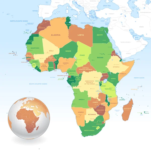
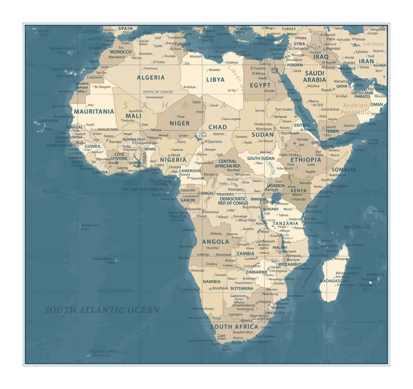
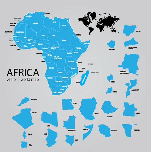
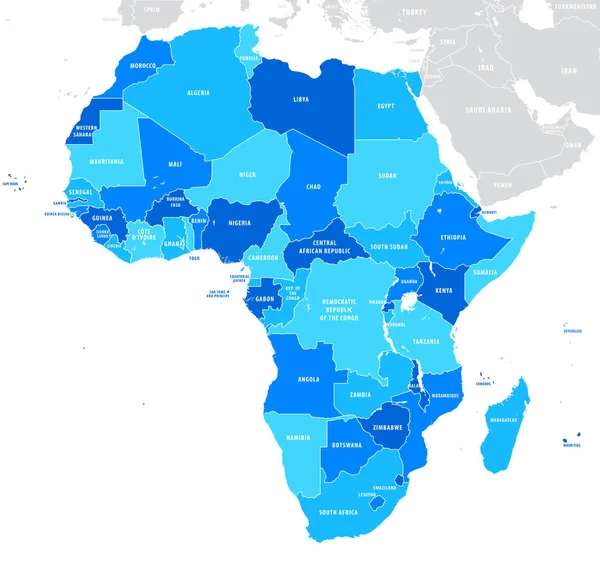
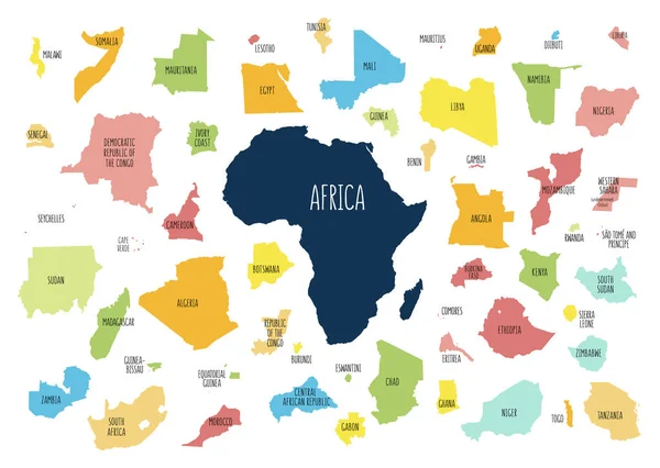
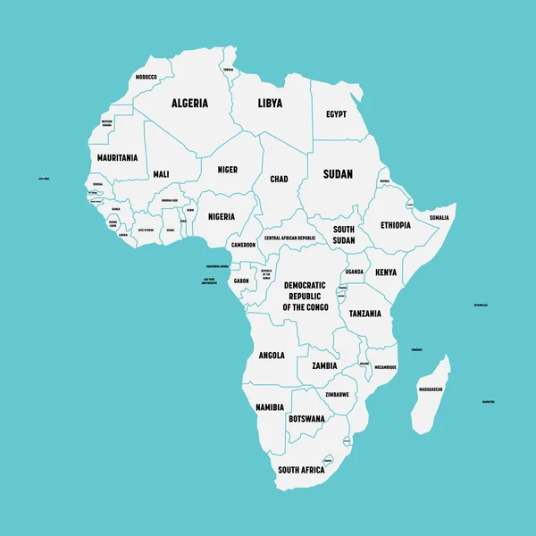
Vector Map Of Africa Continent With Countries, Capitals, Main Cities And Seas And Islands Names In Strong Brilliant Colors.

Vector, 3.84MB, 6000 × 5999 eps
stock image Detailed Earth. North Africa. Algeria, Morocco and Tunisia on a

Detailed Earth. North Africa. Algeria, Morocco And Tunisia On A

Image, 10.22MB, 5000 × 5000 jpg
stock image Global map

Global Map

Image, 5.66MB, 9859 × 4909 jpg
stock image Global map

Global Map

Image, 5.66MB, 9859 × 4909 jpg
stock vector Simple flat map of Africa continent with national borders and country name labels on blue background. Vector illustration

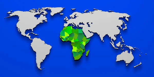
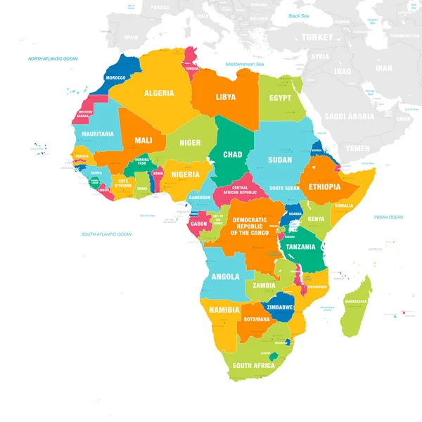
Simple Flat Map Of Africa Continent With National Borders And Country Name Labels On Blue Background. Vector Illustration

Vector, 0.62MB, 6000 × 6000 eps
Previous << Page 2 >> Next