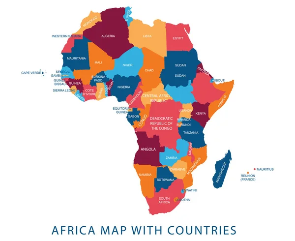
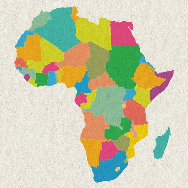
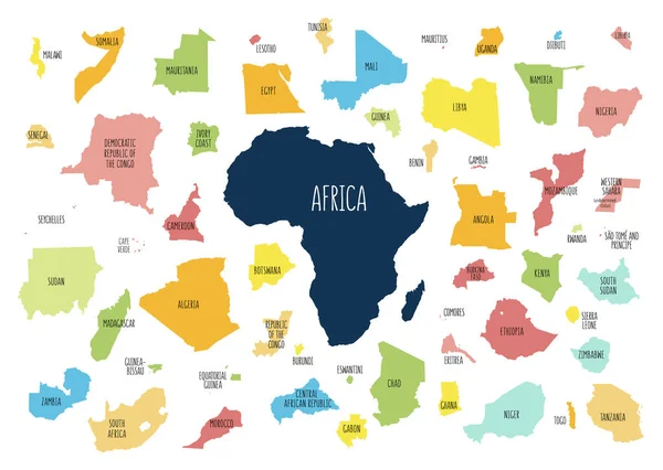
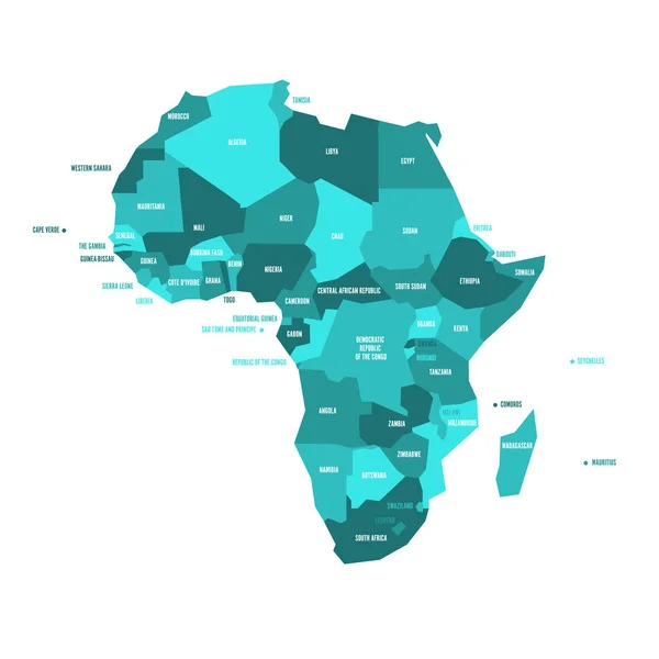
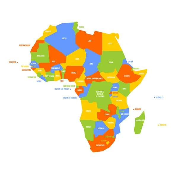
Stock vector Map of Africa with separated countries.
Published: Feb.28, 2019 09:41:47
Author: LaraFields
Views: 260
Downloads: 2
File type: vector / eps
File size: 7.18 MB
Orginal size: 6001 x 4265 px
Available sizes:
Level: beginner
Similar stock vectors
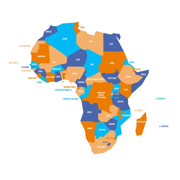
Very Simplified Infographical Political Map Of Africa. Simple Geometric Vector Illustration
6000 × 6000