
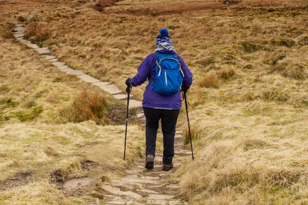
Stock image Long Distance Footpath
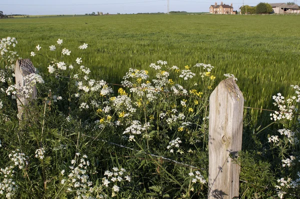
Views From The Monarchs Way Long Distance Footpath Tardebigge Worcestershire
Image, 2.73MB, 3600 × 2392 jpg
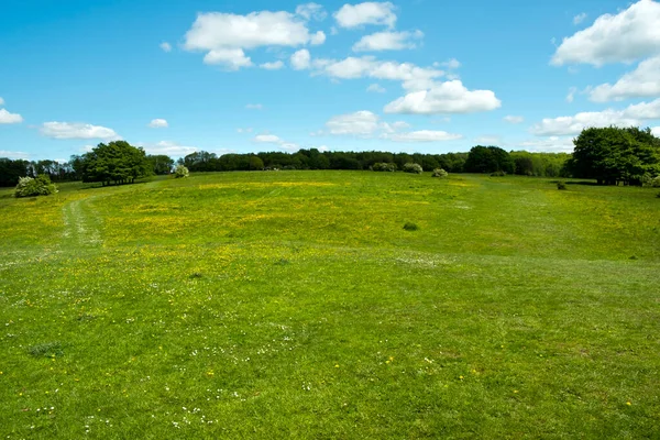
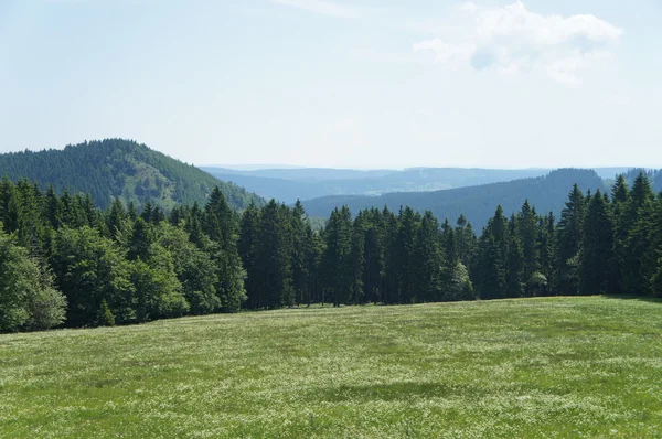
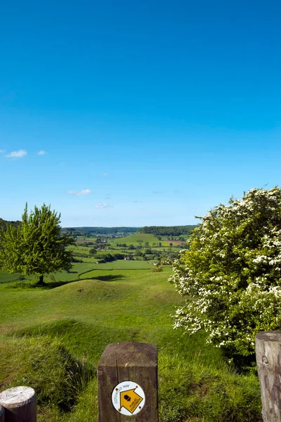
Open Grasslands Where The Cotswold Way Long Distance Footpath Passes Standish Wood Viewpoint, Gloucestershire, Cotswolds, England, UK
Image, 8.05MB, 4896 × 3264 jpg
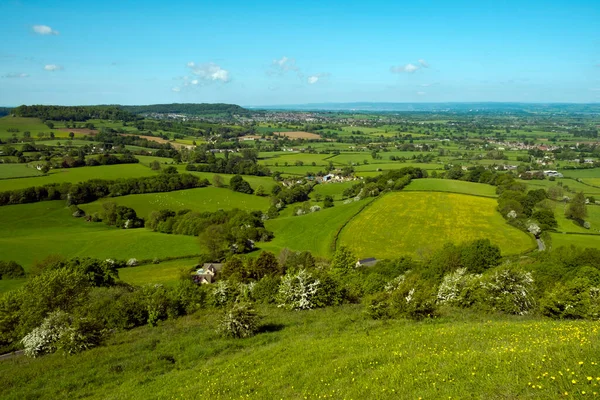
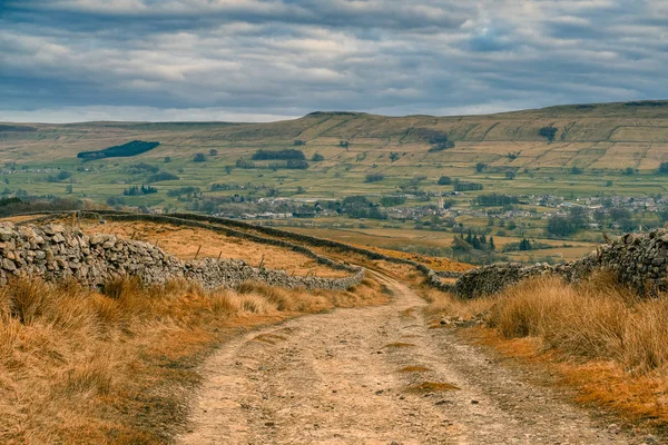
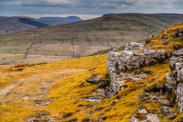
Long Distance Views From Cotswold Way Long Distance Footpath Near The Toposcope On Coaley Peak Picnic Site And Viewpoint Near Nympsfield, Gloucestershire, Cotswolds, UK
Image, 6.97MB, 4896 × 3264 jpg


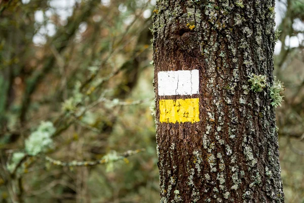
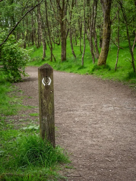
Red And White Painted Long Distance Hiking Trail Marker On A Beech Tree
Image, 18.91MB, 4928 × 3264 jpg


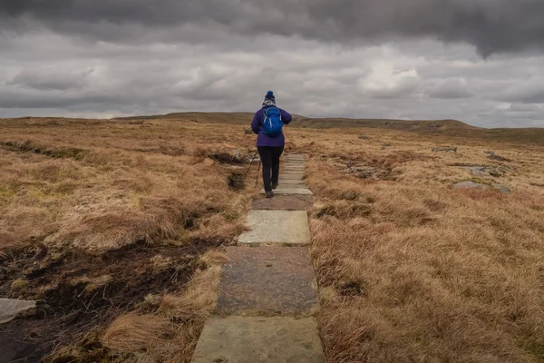


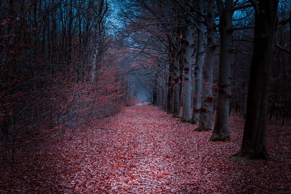
Walking On The Pieterpad In The Province Of Drenthe In Winter Through The Gloomy Forest With Orange-red Autumn Colors, The Pieterpad A 501-kilometer Walk Throughout The Netherlands
Image, 21.16MB, 5392 × 3595 jpg
The West Highland Way Stretches 96 Miles (154 Km) From Milngavie To Fort William, Taking In A Wide Variety Of Scenery. The Route Is Popular And Well Sign Posted With Route Markers
Image, 14.85MB, 3456 × 4608 jpg
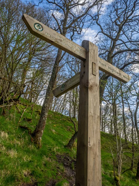
The West Highland Way Stretches 96 Miles (154 Km) From Milngavie To Fort William, Taking In A Wide Variety Of Scenery. The Route Is Popular And Well Sign Posted With Route Markers
Image, 14.84MB, 3312 × 4416 jpg


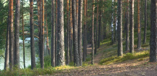
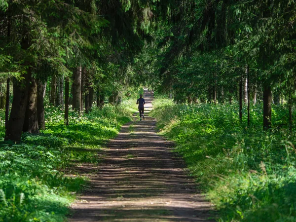
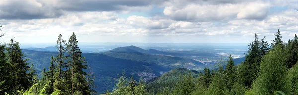
Panorama Of Pine Forest Near The Lake, The Path Goes Into The Distance Between The Straight Trunks
Image, 19.82MB, 6000 × 2924 jpg

Cotswold Way Long Distance Footpath Passes The Toposcope On Coaley Peak Viewpoint Near Nympsfield, Gloucestershire, UK
Image, 6.33MB, 3264 × 4896 jpg

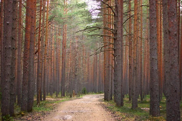
Path In The Pine Forest, Stretching Into The Distance, Even Trunks Of Pine Trees On Both Sides
Image, 22.56MB, 6000 × 4000 jpg

Costwold Way Long Distance Footpath Waymark At Coaley Peak Viewpoint Near Nympsfield, Gloucestershire, UK
Image, 3.95MB, 4801 × 3201 jpg

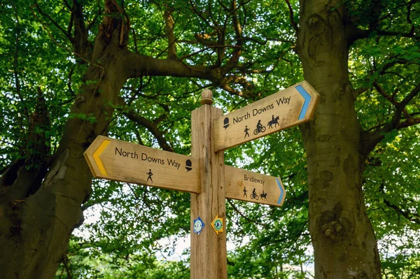
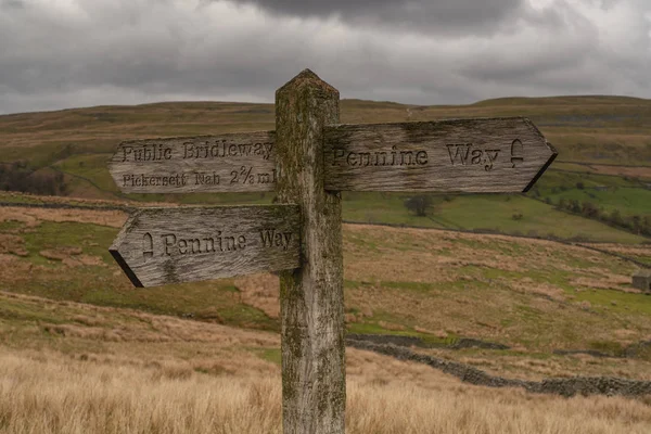
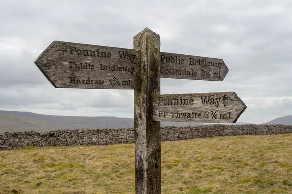
A Sign On The North Downs Way Near Woldingham In Surrey, England, UK. The North Downs Is Part Of The Surrey Hills Area Of Outstanding Natural Beauty. The North Downs Way Is A National Trail.
Image, 15.63MB, 6048 × 4024 jpg
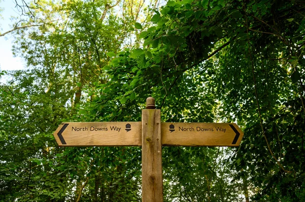
A Sign On The North Downs Way Near Woldingham In Surrey, England, UK. The North Downs Is Part Of The Surrey Hills Area Of Outstanding Natural Beauty. The North Downs Way Is A National Trail.
Image, 17.62MB, 6048 × 4024 jpg


Winter Sunshine View Over Picturesque Broadway From The Cotswold Way Long Distance Footpath, Worcestershire, UK
Image, 3.51MB, 3660 × 2440 jpg
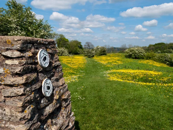
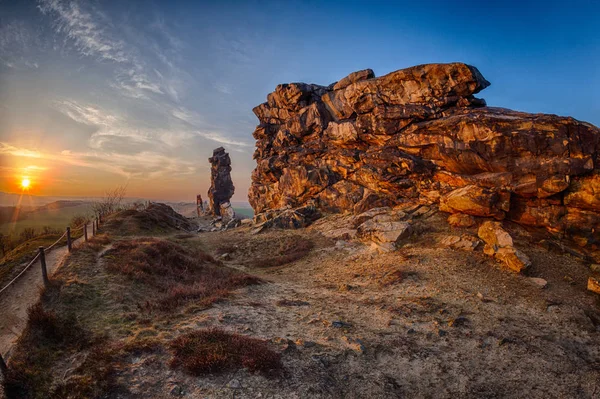
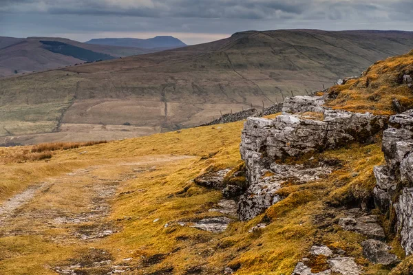
Haresfield, Gloucestershire, UK - 15th May 2014: Cotswold Way Long Distance Footpath Waymark On An Old 'trig' Point At Haresfield Beacon, Gloucestershire, UK
Image, 5.96MB, 4346 × 3259 jpg


Long Distance Views From Cotswold Way Long Distance Footpath Near The Toposcope On Coaley Peak Picnic Site And Viewpoint Near Nympsfield, Gloucestershire, Cotswolds, UK
Image, 6.83MB, 4896 × 3264 jpg
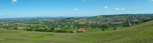
Panoramic Long Distance Views From Cotswold Way Long Distance Footpath On Selsley Common Near Stroud, Gloucestershire, Cotswolds, UK
Image, 6.54MB, 7680 × 2160 jpg
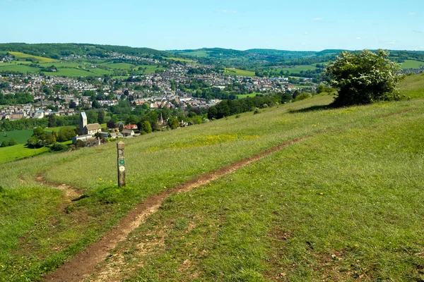
Extensive Views Over The Stroud Valleys From The Cotswold Way Long Distance Footpath On Selsley Common Near Stroud, Gloucestershire, Cotswolds, UK
Image, 8.82MB, 4896 × 3264 jpg
Page 1 >> Next