
Stock image Long Distance Footpath page 2

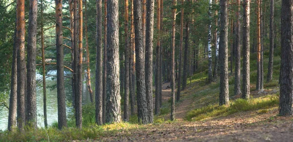
Panorama Of Pine Forest Near The Lake, The Path Goes Into The Distance Between The Straight Trunks
Image, 19.82MB, 6000 × 2924 jpg
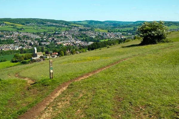
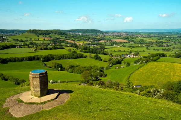
Cotswold Way Long Distance Footpath Passes The Toposcope On Coaley Peak Viewpoint Near Nympsfield, Gloucestershire, UK
Image, 6.33MB, 3264 × 4896 jpg

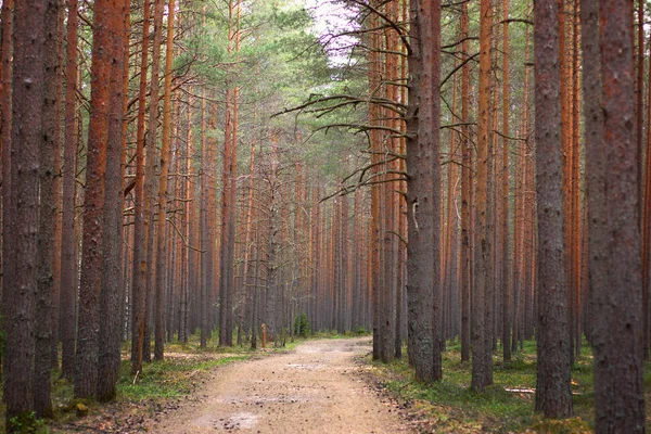
Path In The Pine Forest, Stretching Into The Distance, Even Trunks Of Pine Trees On Both Sides
Image, 22.56MB, 6000 × 4000 jpg

Costwold Way Long Distance Footpath Waymark At Coaley Peak Viewpoint Near Nympsfield, Gloucestershire, UK
Image, 3.95MB, 4801 × 3201 jpg
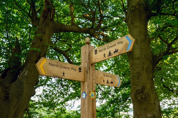
A Sign On The North Downs Way Near Woldingham In Surrey, England, UK. The North Downs Is Part Of The Surrey Hills Area Of Outstanding Natural Beauty. The North Downs Way Is A National Trail.
Image, 15.63MB, 6048 × 4024 jpg
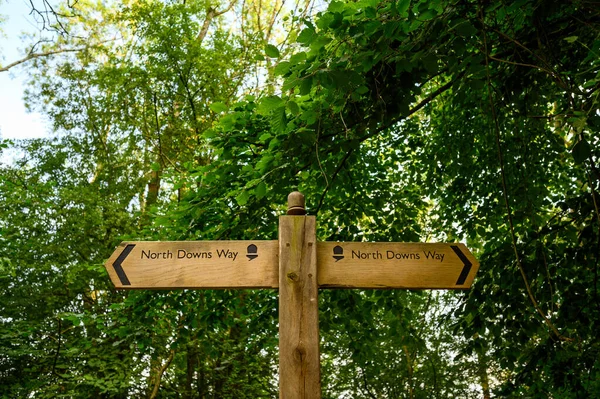
A Sign On The North Downs Way Near Woldingham In Surrey, England, UK. The North Downs Is Part Of The Surrey Hills Area Of Outstanding Natural Beauty. The North Downs Way Is A National Trail.
Image, 17.62MB, 6048 × 4024 jpg


Winter Sunshine View Over Picturesque Broadway From The Cotswold Way Long Distance Footpath, Worcestershire, UK
Image, 3.51MB, 3660 × 2440 jpg
Haresfield, Gloucestershire, UK - 15th May 2014: Cotswold Way Long Distance Footpath Waymark On An Old 'trig' Point At Haresfield Beacon, Gloucestershire, UK
Image, 5.96MB, 4346 × 3259 jpg


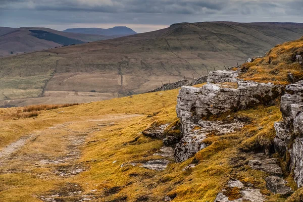
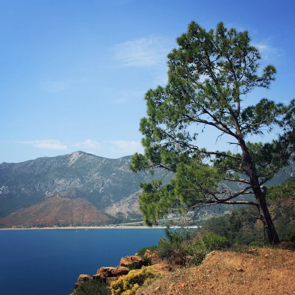
Long Distance Views From Cotswold Way Long Distance Footpath Near The Toposcope On Coaley Peak Picnic Site And Viewpoint Near Nympsfield, Gloucestershire, Cotswolds, UK
Image, 6.83MB, 4896 × 3264 jpg
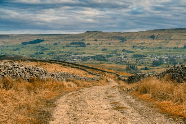
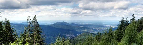
Panoramic Long Distance Views From Cotswold Way Long Distance Footpath On Selsley Common Near Stroud, Gloucestershire, Cotswolds, UK
Image, 6.54MB, 7680 × 2160 jpg
Extensive Views Over The Stroud Valleys From The Cotswold Way Long Distance Footpath On Selsley Common Near Stroud, Gloucestershire, Cotswolds, UK
Image, 8.82MB, 4896 × 3264 jpg

Dumgoyne Is A Hill Prominent On The Edge Of The Campsie Fells And Is A Volcanic Plug. Viewed From The West Highland Way
Image, 30.05MB, 8256 × 4644 jpg
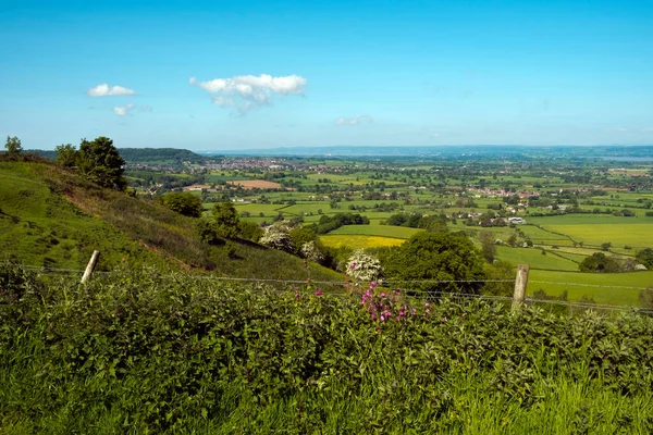
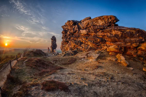
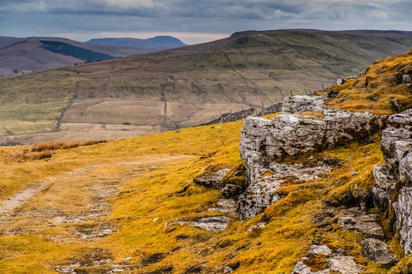
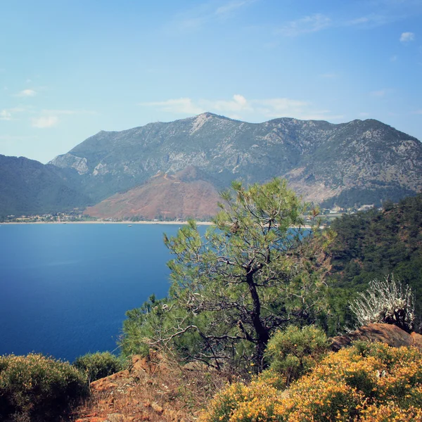
View Over The Severn Vale From The Cotswold Way Long Distance Footpath At Coaley Peak Viewpoint, Cotswolds, Gloucestershire, UK
Image, 6.97MB, 4896 × 3264 jpg
Cotswold Way Long Distance Footpath Passes The Toposcope On Coaley Peak Viewpoint Near Nympsfield, Gloucestershire, UK
Image, 6.45MB, 4788 × 3191 jpg

Post Of A Part Of Moving Walkway Shown Signage Lighting Screen, Journey And Traveler Concept, Selective Focus.
Image, 4.89MB, 4563 × 3264 jpg
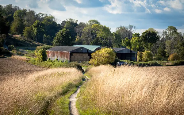
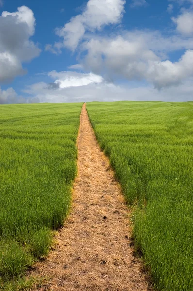
Hay Lies Stored In Barns And Farm Buildings On The South Downs Way, A Long Distance Footpath Across The South Downs National Park, West Sussex, UK.
Image, 22.34MB, 7271 × 4544 jpg

A Women Carrying A Bag Walks Along The South Downs Way Long Distance Path In West Sussex, UK.
Image, 25.73MB, 7864 × 4424 jpg

A Lone Male Cyclist Makes His Way Along The South Downs Way Long Distance Path In West Sussex, UK.
Image, 18.64MB, 7864 × 4424 jpg

Texture Of Old Concrete Gray Wall With Deep Long Cracks. Under The Influence Of Natural Conditions, The Concrete Surface Is Overgrown With Green Moss.
Image, 6.47MB, 4080 × 3072 jpg

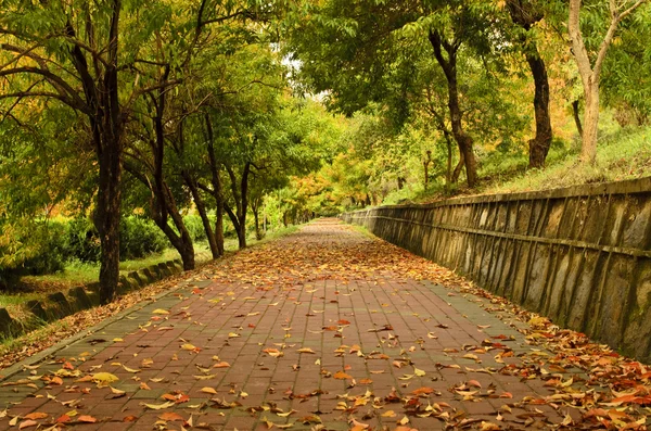
Bangkok, Thailand - 22 Jun, 2024 - View Of Path Leads Off Into The Distance Among Surrounded Green Trees Space In The Park. Space For Text, Selective Focus.
Image, 16.76MB, 6132 × 3960 jpg

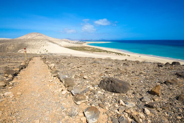
Playa Del Burrero, Gran Canaria, Spain - July 2 2024: A Sign For GR 131, Sendero De Gran Recorrido, I.e. Long-distance Walking Trail Linking Southeast And Northwest Coasts Of The Island, Is Displayed On One End Of The Path
Image, 9.41MB, 3635 × 3635 jpg

Bangkok, Thailand - 22 Jun, 2024 - View Of Path Leads Off Into The Distance Among Surrounded Green Trees Space In The Park With Modern Buildings Background. Copy Space, Selective Focus.
Image, 11MB, 3878 × 5824 jpg

Signs For The Bridgewater Monument, Ashridge Estate Visitor Centre And Hertfordshire Way
Image, 3.93MB, 5472 × 3648 jpg
Previous << Page 2 >> Next