photo free
Home Images Vectors Videos

Stock image Luzon Strait

stock vector Taiwan Area, gray political map, with capital Taipei. Free Area of the Republic of China, ROC. Main Island and island groups of Taiwan, located between the East and the South China Sea. Illustration.

Taiwan Area, Gray Political Map, With Capital Taipei. Free Area Of The Republic Of China, ROC. Main Island And Island Groups Of Taiwan, Located Between The East And The South China Sea. Illustration.

Vector, 2.11MB, 6000 × 6000 eps
stock vector Taiwan Strait, political map. Important waterway and disputed international waters, separating the island of Taiwan and continental Asia, which connects the East China Sea and the South China Sea.

Taiwan Strait, Political Map. Important Waterway And Disputed International Waters, Separating The Island Of Taiwan And Continental Asia, Which Connects The East China Sea And The South China Sea.

Vector, 4.95MB, 6000 × 6000 eps
stock vector Taiwan Strait, gray political map. Important waterway and disputed international waters, separating the island of Taiwan and continental Asia, which connects the East China Sea and South China Sea.

Taiwan Strait, Gray Political Map. Important Waterway And Disputed International Waters, Separating The Island Of Taiwan And Continental Asia, Which Connects The East China Sea And South China Sea.

Vector, 3.5MB, 6000 × 6000 eps
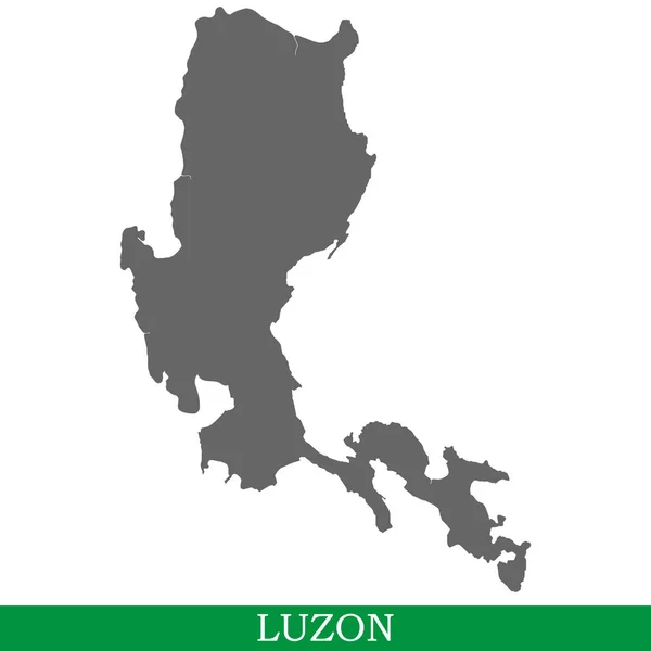
stock vector High quality map of Luzon is the island of Philippines

High Quality Map Of Luzon Is The Island Of Philippines

Vector, 1.02MB, 4000 × 4000 eps
stock image Detailed Earth on white background. Southeast Asia. Philippines

Detailed Earth On White Background. Southeast Asia. Philippines

Image, 11.36MB, 8000 × 4000 jpg
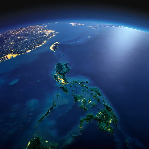
stock image Detailed Earth. Southeast Asia. Philippines on a moonlit night

Detailed Earth. Southeast Asia. Philippines On A Moonlit Night

Image, 7.14MB, 5000 × 5000 jpg
stock image Detailed Earth at night. Earth. Southeast Asia. Philippines

Detailed Earth At Night. Earth. Southeast Asia. Philippines

Image, 6.63MB, 8000 × 4000 jpg
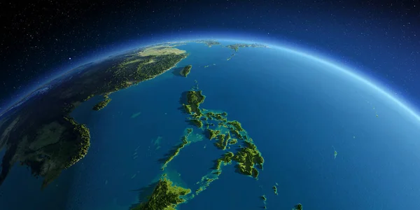
stock image Detailed Earth. Southeast Asia. Philippines

Detailed Earth. Southeast Asia. Philippines

Image, 7.58MB, 8000 × 4000 jpg
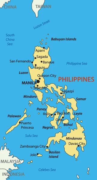
stock vector Republic of the Philippines - vector map

Republic Of The Philippines - Vector Map

Vector, 0.45MB, 2795 × 5172 eps
Page 1 >> Next