
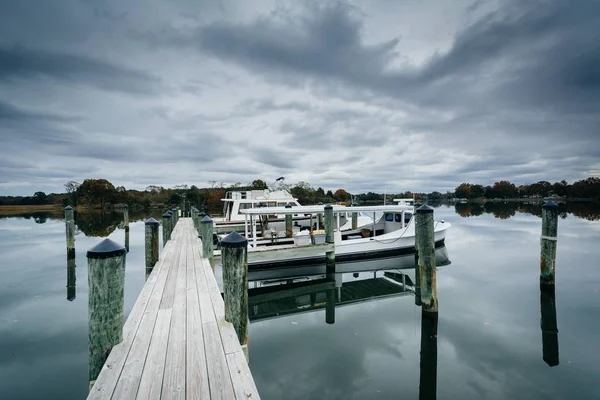
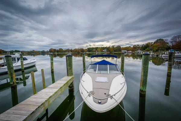
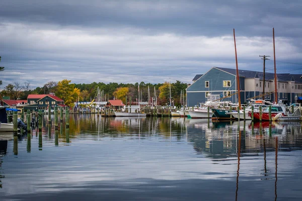
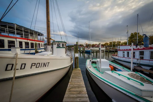
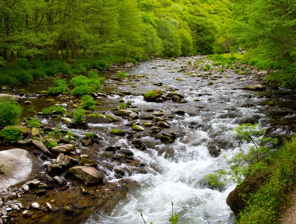
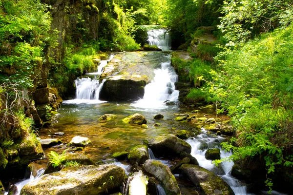
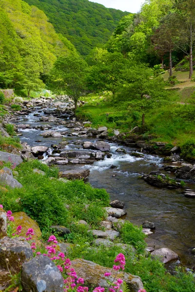
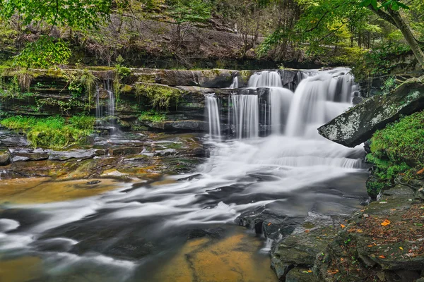
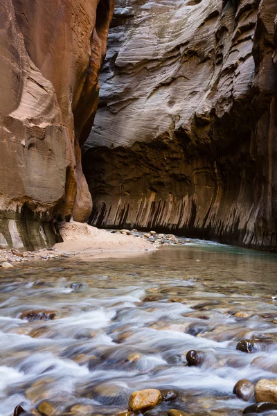
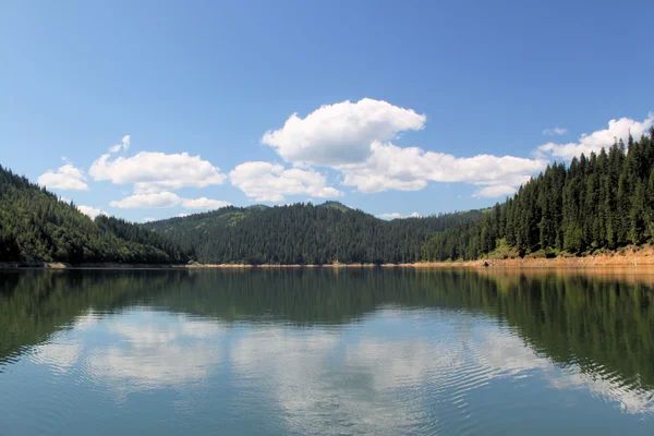
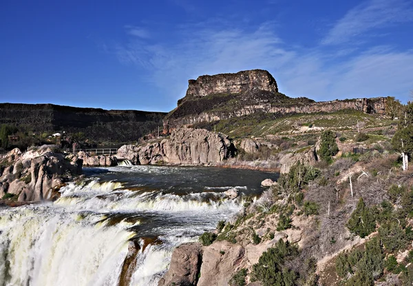
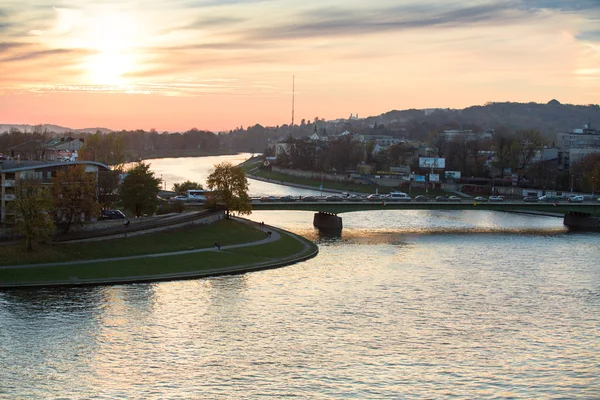
Stock image Miles River


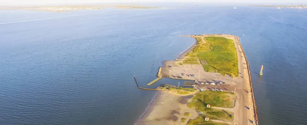
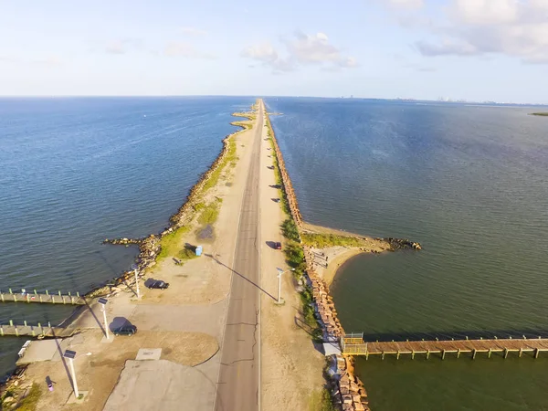
Panorama Aerial View Famous Texas City Dike, A Levee That Projects Nearly 5miles South-east Into Mouth Of Galveston Bay. It Was Designed To Reduce The Impact Of Sediment Accumulation Along Lower Bay
Image, 3.94MB, 3999 × 1637 jpg

Panorama Aerial View Famous Texas City Dike, A Levee That Projects Nearly 5miles South-east Into Mouth Of Galveston Bay. It Was Designed To Reduce The Impact Of Sediment Accumulation Along Lower Bay
Image, 3.67MB, 3999 × 1637 jpg
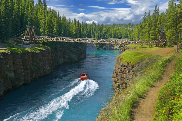
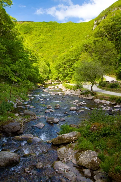
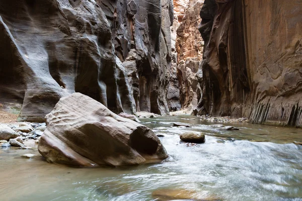
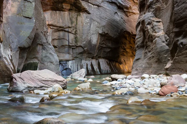
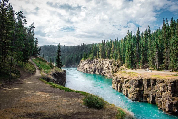
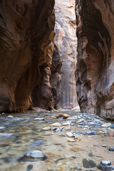
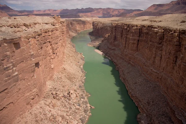
Yukon River Near Whitehorse - Miles Canyon, Yukon, Yukon Territory, Canada
Image, 5.89MB, 2712 × 1810 jpg

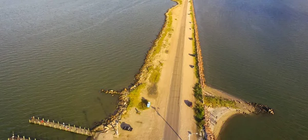
Panorama Aerial View Famous Texas City Dike With Wooden Piers, A Levee That Project Nearly 5miles South-east Into Mouth Of Galveston Bay. Designed To Reduce Impact Of Sediment Accumulation Along Bay
Image, 4.52MB, 4000 × 1818 jpg
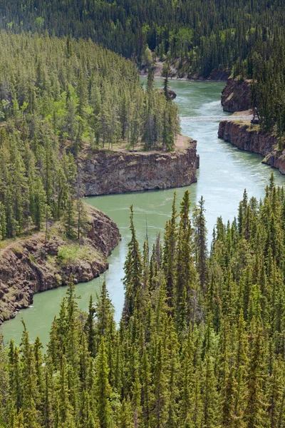

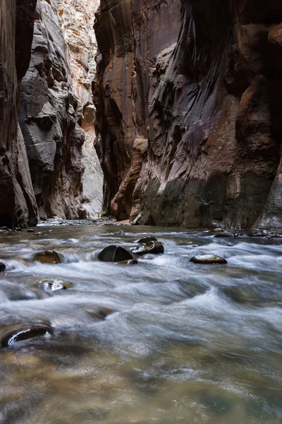
Yukon River Near Whitehorse - Miles Canyon, Yukon, Yukon Territory, Canada
Image, 6.29MB, 2641 × 1950 jpg

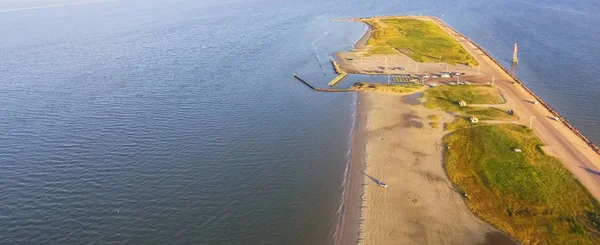
Panorama Aerial View Famous Texas City Dike, A Levee That Projects Nearly 5miles South-east Into Mouth Of Galveston Bay. It Was Designed To Reduce The Impact Of Sediment Accumulation Along Lower Bay
Image, 4.33MB, 3999 × 1637 jpg

Panorama Aerial View Famous Texas City Dike, A Levee That Projects Nearly 5miles South-east Into Mouth Of Galveston Bay. It Was Designed To Reduce The Impact Of Sediment Accumulation Along Lower Bay
Image, 3.64MB, 3999 × 1637 jpg
Aerial View Famous Texas City Dike With Wooden Piers, A Levee That Project Nearly 5miles South-east Into Mouth Of Galveston Bay. It Was Designed To Reduce The Impact Of Sediment Accumulation Along Bay
Image, 6.32MB, 4000 × 3000 jpg

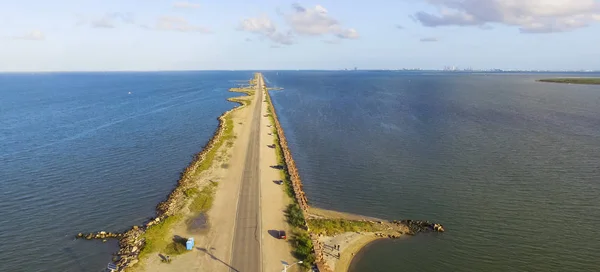
Panorama Aerial View Famous Texas City Dike With Wooden Piers, A Levee That Project Nearly 5miles South-east Into Mouth Of Galveston Bay. Designed To Reduce Impact Of Sediment Accumulation Along Bay
Image, 3.81MB, 4000 × 1818 jpg


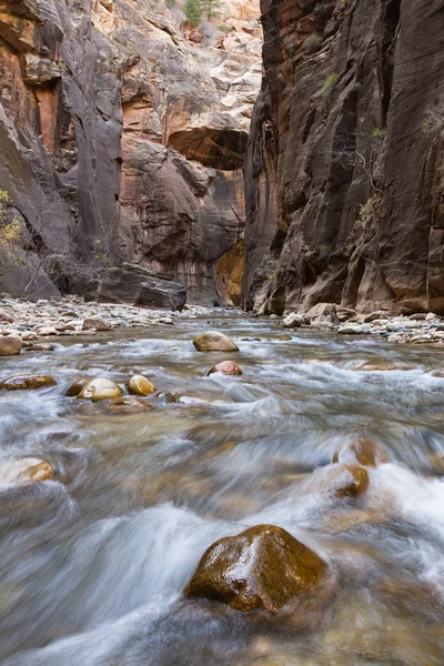
AUSABLE CHASM, NEW YORK - AUGUST 22, 2020: Visitor Crossing Adventurous Rope Bridge Over Ausable River At Ausable Chasm In Upstate New York. The Gorge Is About Two Miles 3.2 Km Long
Image, 19.67MB, 5554 × 3703 jpg


Page 1 >> Next