
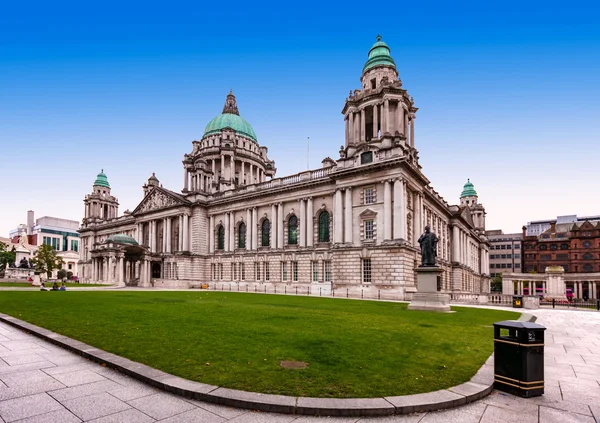
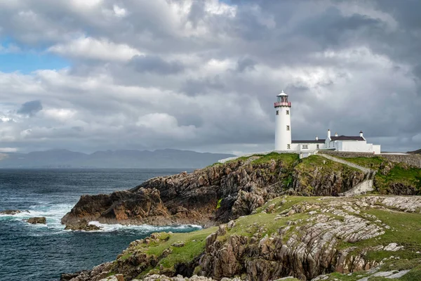
Stock image North Donegal


Slieve League, Highest Sea Cliffs, Located In South West Donegal, Ireland.
Image, 15.87MB, 5885 × 3923 jpg


Sheep Enjoying The Sunset At The Slieve League Cliffs In County Donegal, Ireland
Image, 6.17MB, 12419 × 4089 jpg


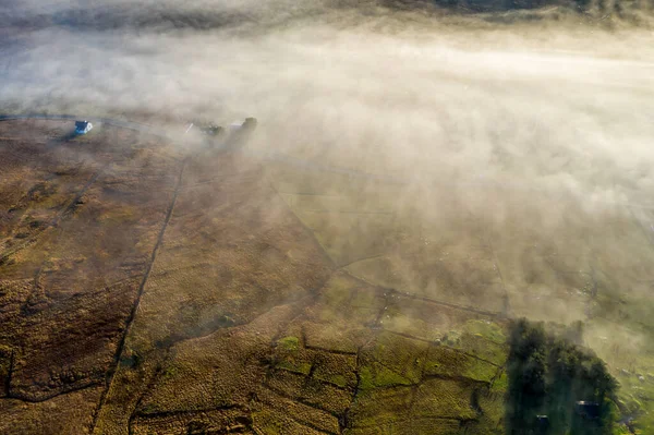
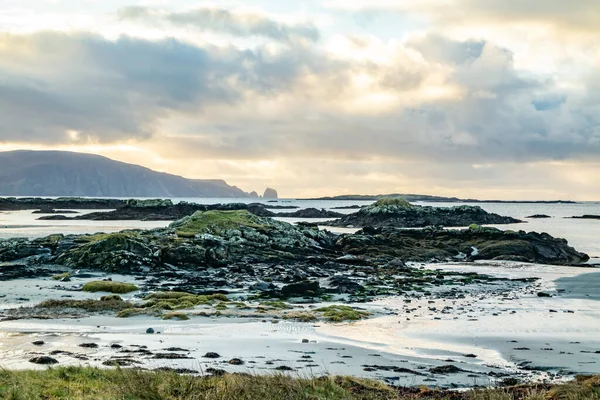
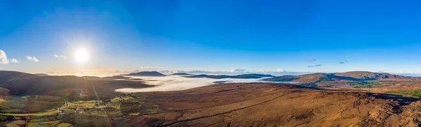
Aerial View Of Gweebarra River Between Doochary And Lettermacaward In Donegal - Ireland.
Image, 14.67MB, 5464 × 3640 jpg
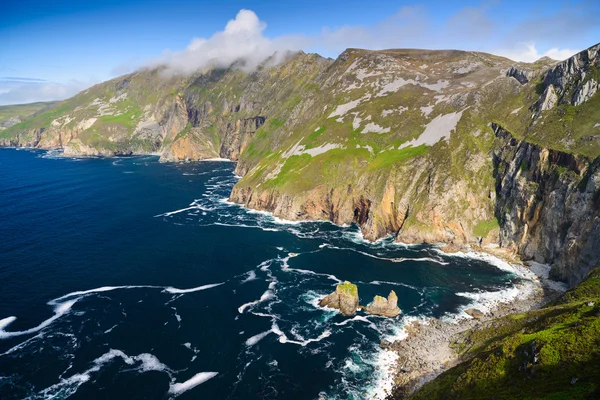

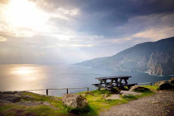
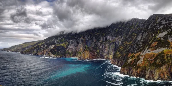
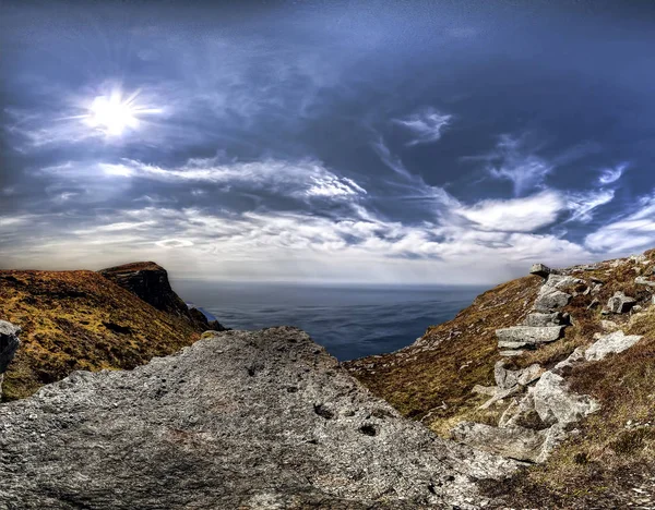
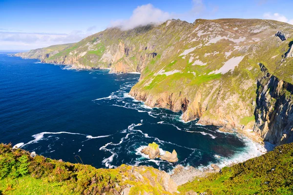
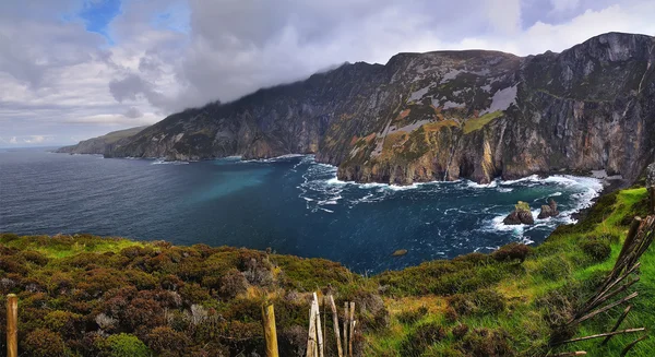
Sliabh Liag, Sometimes Slieve League Or Slieve Liag Is A Mountain On The Atlantic Coast Of County Donegal, Ireland. At 601 Metres (1,972 Ft), It Has Some Of The Highest Sea Cliffs In Ireland.
Image, 6.71MB, 3370 × 2527 jpg

The Cliffs And Sea Stacks At Port Challa On Tory Island, County Donegal, Ireland.
Image, 10.71MB, 5464 × 3640 jpg


Dramatic Aerial View Of The Slieve League Cliffs In County Donegal, Ireland
Image, 13.73MB, 5464 × 3640 jpg

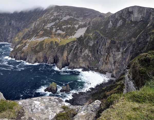

Slieve League, Irelands Highest Sea Cliffs, Located In South West Donegal Along This Magnificent Costal Driving Route. Wild Atlantic Way Route, Co Donegal, Ireland.
Image, 9.86MB, 3238 × 2426 jpg

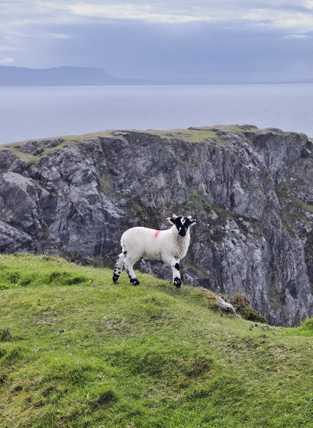
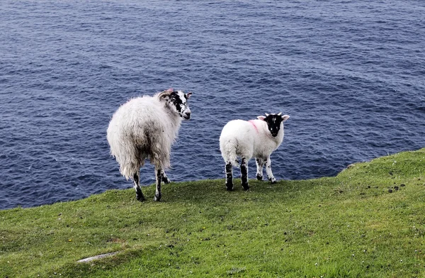
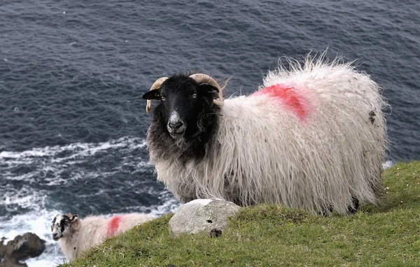
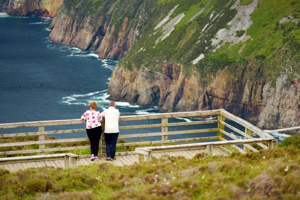
Rugged Landscape At Malin Head, County Donegal, Ireland. Rough Beach With Cliffs, Green Rocky Land With Sheep On Foggy Cloudy Day.
Image, 21.63MB, 6399 × 4266 jpg

Ireland Is One Of The Most Beautiful Countries In The World. It Is Often Called The Emerald Island For Its Unique Natural Landscapes
Image, 11.33MB, 3680 × 2456 jpg
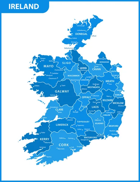
The Detailed Map Of The Ireland With Regions Or States And Cities, Capitals
Vector, 1.63MB, 5000 × 6500 eps
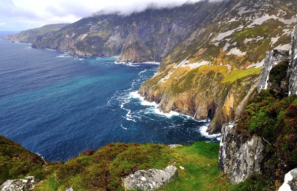
Slieve League, Irelands Highest Sea Cliffs, Located In South West Donegal Along This Magnificent Costal Driving Route. Wild Atlantic Way Route, Co Donegal, Ireland.
Image, 16.57MB, 5699 × 3799 jpg

Slieve League, Irelands Highest Sea Cliffs, Located In South West Donegal Along This Magnificent Costal Driving Route. One Of The Most Popular Stops At Wild Atlantic Way Route, Co Donegal, Ireland.
Image, 14.34MB, 5863 × 3909 jpg


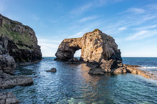
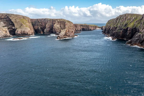
Aerial View Of The Great Pollet Sea Arch, Fanad Peninsula, County Donegal, Ireland.
Image, 11.51MB, 5464 × 3640 jpg

Slieve League, Irelands Highest Sea Cliffs, Located In South West Donegal Along This Magnificent Costal Driving Route. Wild Atlantic Way Route, Co Donegal, Ireland.
Image, 7.69MB, 3840 × 2148 jpg
Page 1 >> Next