Home
Images
Vectors
Videos
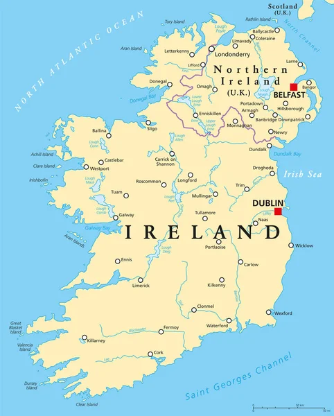
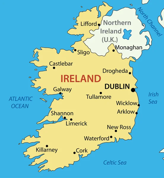
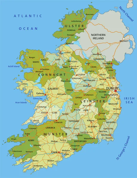
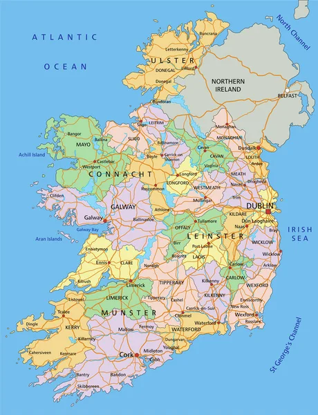
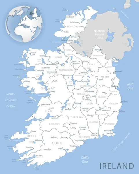
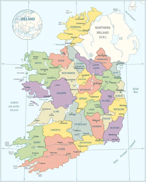
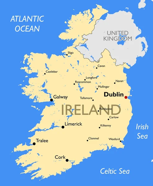
Stock vector Ireland Political Map
Published:
Oct.15, 2014 17:54:59
Author:
Furian
Views:
1747
Downloads:
44
File type:
vector
/
eps
File size:
3.66 MB
Orginal size:
6000
x
7468
px
Available sizes:
S
(402 x 500)
M
(803 x 1000)
L
(1607 x 2000)
XL
(6000 x 7468)
VECT
(6000 x 7468)
EL0
(6000 x 7468)
Level:
silver
Download Vector
Vector topics:
With
Cork
Coastline
Northern
Country
Map
Ireland
Uk
Island
Atlas
Irish
Dublin
Erne
Rivers
Galway
Limerick
Shannon
Derry
Belfast
Waterford
Donegal
Boyne
Kilkenny
Great Britain
United Kingdom
Atlantic Ocean
Northern Ireland
Londonderry
Roscommon
Drogheda
Irish Sea
Political Map
Celtic Sea
British Isles
Dundalk
Tullamore
Craigavon
North Channel
Lough Foyle
Lough Derg
Lough Corrib
Lough Neagh
Lough Ree
Saint Georges Channel
Similar stock vectors
Ireland And Northern Ireland Political Map
7140 × 8888
Republic Of Ireland - Vector Map
3820 × 4142
Highly Detailed Editable Political Map With Separated Layers. Ireland.
4353 × 5672
Ireland - Highly Detailed Editable Political Map With Labeling.
4353 × 5672
Blue-gray Detailed Map Of Ireland Administrative Divisions And Location On The Globe. Vector Illustration
5206 × 6494
Map Of Ireland - Highly Detailed Vector Illustration
4070 × 5056
Ireland
4911 × 6142
Ireland Map
4440 × 5400