
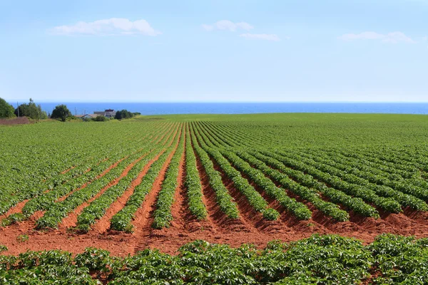
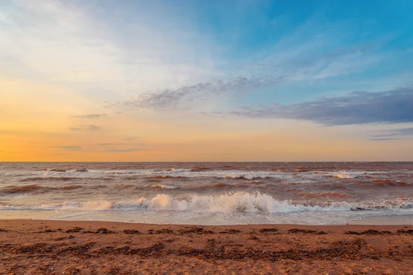
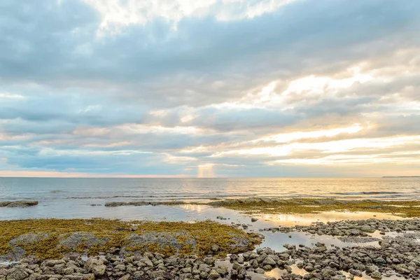
Stock image Northumberland Strait

Aerial Panoramic View Of Confederation Bridge To Prince Edward Island During A Vibrant Sunny Sunrise. Taken In Cape Jourimain National Wildlife Area, New Brunswick, Canada.
Image, 8.63MB, 6339 × 2942 jpg
Aerial Panoramic View Of Confederation Bridge To Prince Edward Island During A Vibrant Sunny Sunrise. Taken In Cape Jourimain National Wildlife Area, New Brunswick, Canada.
Image, 8.19MB, 7083 × 2945 jpg

Aerial Panoramic View Of Confederation Bridge To Prince Edward Island During A Vibrant Sunny Sunrise. Taken In Cape Jourimain National Wildlife Area, New Brunswick, Canada.
Image, 6.17MB, 5392 × 2953 jpg


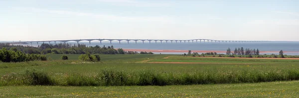
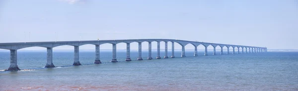
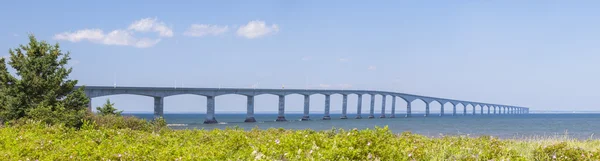
Panoramic View Of Confederation Bridge To Prince Edward Island During A Vibrant Sunny Sunrise. Taken In Cape Jourimain National Wildlife Area, New Brunswick, Canada.
Image, 43.39MB, 19291 × 4968 jpg


Nova Scotia, Maritime And Atlantic Province Of Canada, Political Map. Cape Breton Island And Nova Scotia Peninsula, With Capital Halifax. Borders On The Bay Of Fundy, Gulf Of Maine And Atlantic Ocean.
Vector, 5.15MB, 9000 × 6000 eps
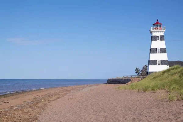
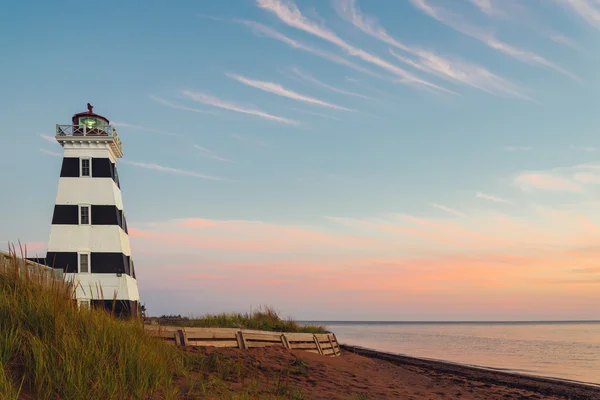
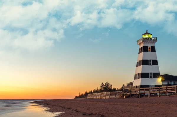
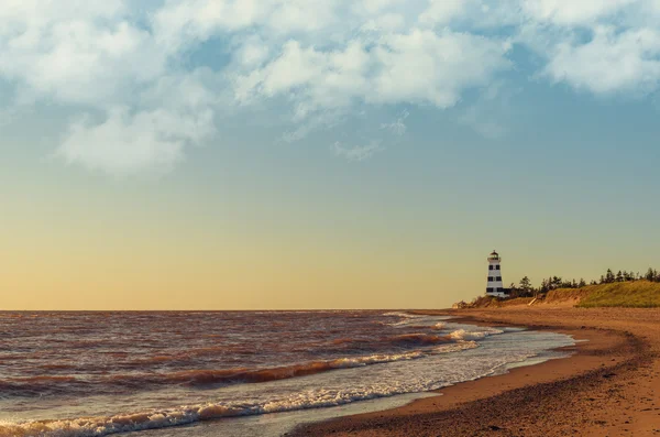
Spectacular Sunset Viewed From West Point Lighthouse In Prince Edward Island Canada
Image, 3.52MB, 4000 × 2667 jpg

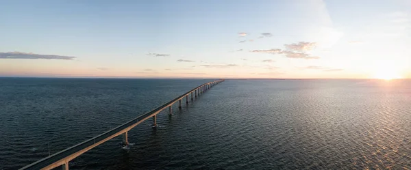
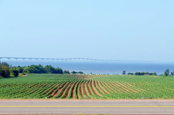
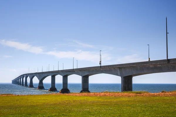
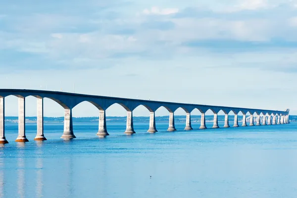
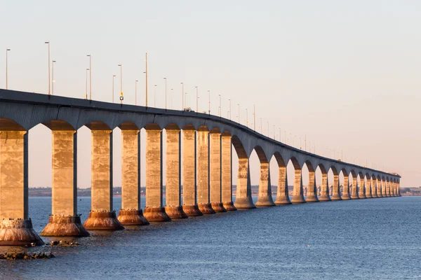
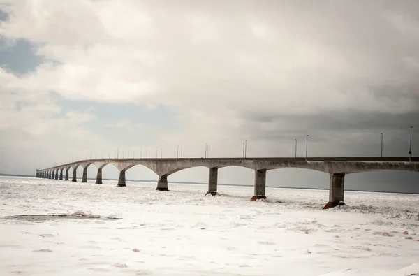
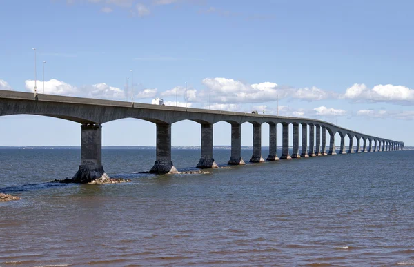
Confederation Bridge Spans The Abegweit Passage, New Brunswick, Canada
Image, 12.36MB, 6000 × 4008 jpg
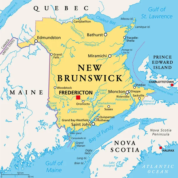
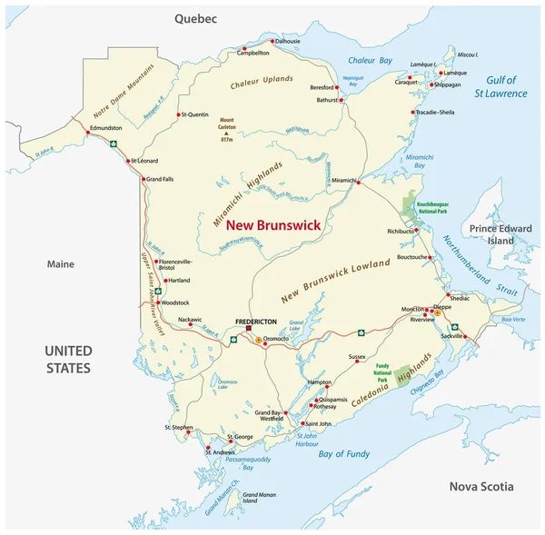
New Brunswick, Maritime And Atlantic Province Of Canada, Political Map. Bordered To Quebec, Nova Scotia, Gulf Of St. Lawrence, Bay Of Fundy And US State Maine, With Capital Fredericton. Illustration.
Vector, 4.74MB, 6000 × 6000 eps

Panoramic View Of Confederation Bridge To Prince Edward Island During A Vibrant Sunny Sunrise. Taken In Cape Jourimain National Wildlife Area, New Brunswick, Canada.
Image, 36.52MB, 14331 × 5483 jpg

Caribou, Nova Scotia, Canada - October 25, 2023: Semi-trucks Exiting A Ferry Boat At The Caribou Ferry Terminal In Nova Scotia, Canada
Image, 8.11MB, 5315 × 3543 jpg
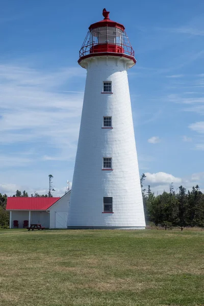
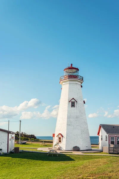
Point Prim Lighthouse In Southern Part Of Prince Edward Island Canada
Image, 10.5MB, 4000 × 6000 jpg


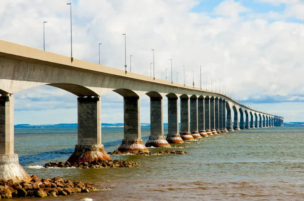

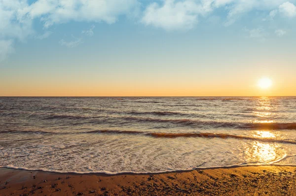

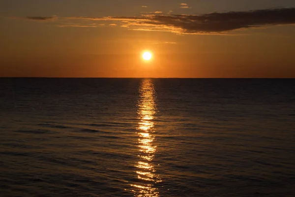
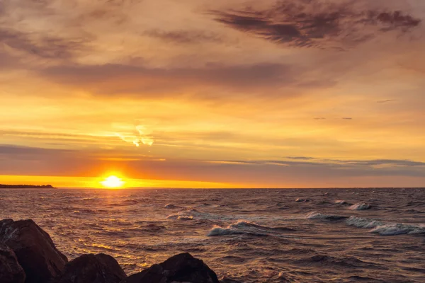
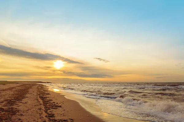
Panoramic View Of Sunset At Northumberland Strait Near The Confederation Bridge
Image, 9.32MB, 7360 × 3100 jpg


Page 1 >> Next