photo free
Home Images Vectors Videos

Stock vector Nova Scotia, Maritime and Atlantic province of Canada, political map. Cape Breton Island and Nova Scotia Peninsula, with capital Halifax. Borders on the Bay of Fundy, Gulf of Maine and Atlantic Ocean.

Stock vector Nova Scotia, Maritime and Atlantic province of Canada, political map. Cape Breton Island and Nova Scotia Peninsula, with capital Halifax. Borders on the Bay of Fundy, Gulf of Maine and Atlantic Ocean.
Published: Feb.06, 2023 18:04:09
Author: Furian
Views: 40
Downloads: 3
File type: vector / eps
File size: 5.15 MB
Orginal size: 9000 x 6000 px
Available sizes:
S
(500 x 333)
M
(1000 x 667)
L
(2000 x 1333)
XL
(9000 x 6000)
VECT
(9000 x 6000)
EL0
(9000 x 6000)
Level: silver
Download Vector
Vector topics:

Similar stock vectors

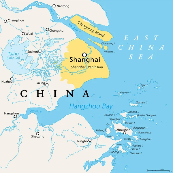
stock vector Shanghai and the Yangtze River Delta, political map with major cities. Megalopolis of China, located where the Yangtze River drains into the East China Sea, with Hangzhou Bay and Zhoushan Archipelago.

Shanghai And The Yangtze River Delta, Political Map With Major Cities. Megalopolis Of China, Located Where The Yangtze River Drains Into The East China Sea, With Hangzhou Bay And Zhoushan Archipelago.

6000 × 6000
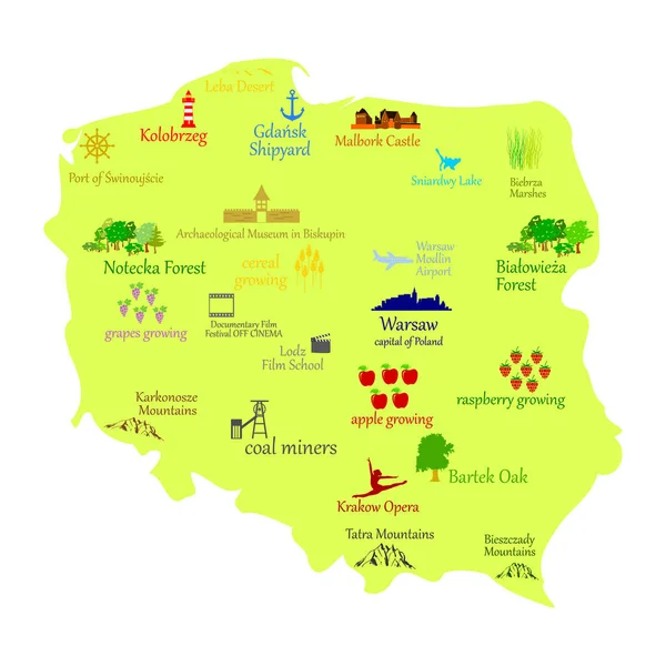
stock vector Map of Poland

Map Of Poland

5083 × 5083
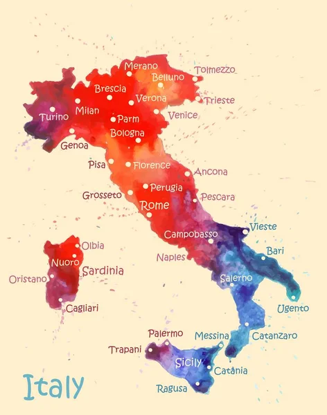
stock vector Watercolor map of Italy with cities. Stylized image with spots and splashes of paint

Watercolor Map Of Italy With Cities. Stylized Image With Spots And Splashes Of Paint

3468 × 4400
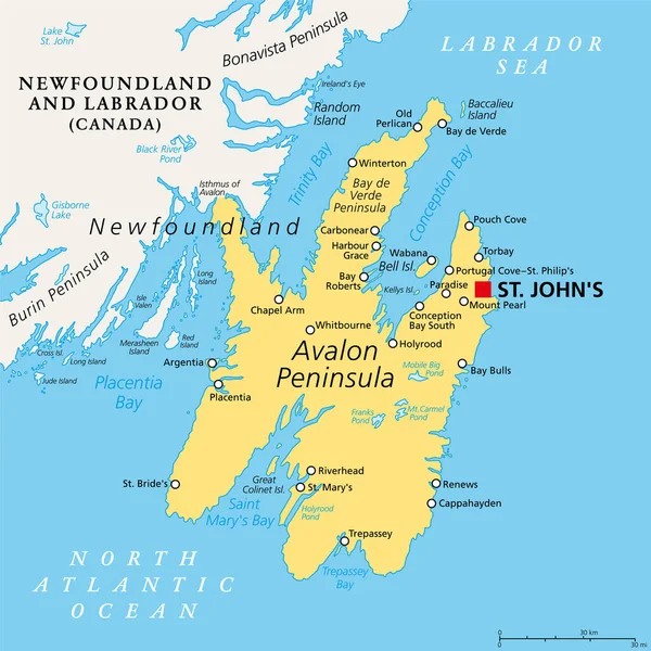
stock vector Avalon Peninsula, political map. Southeast portion of island of Newfoundland, off the coast of mainland North America, part of Canadian province of Newfoundland and Labrador, with capital St. John's.

Avalon Peninsula, Political Map. Southeast Portion Of Island Of Newfoundland, Off The Coast Of Mainland North America, Part Of Canadian Province Of Newfoundland And Labrador, With Capital St. John's.

6000 × 6000
stock vector Sicily, autonomous region of Italy, political map, with capital Palermo, Aeolian and Aegadian Islands, volcano Etna, and important cities. Largest island in the Mediterranean Sea. Illustration. Vector

Sicily, Autonomous Region Of Italy, Political Map, With Capital Palermo, Aeolian And Aegadian Islands, Volcano Etna, And Important Cities. Largest Island In The Mediterranean Sea. Illustration. Vector

4000 × 3622
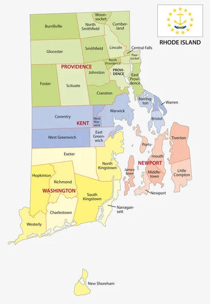
stock vector rhode island county and city vector map with flag

Rhode Island County And City Vector Map With Flag

3100 × 4478
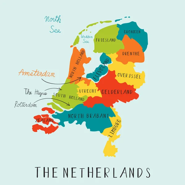
stock vector The Netherland maps hand drawing.illustration vector EPS 10

The Netherland Maps Hand Drawing.illustration Vector EPS 10

5000 × 5000
stock vector Map of the Lesser Sunda Islands in the Malay Archipelago

Map Of The Lesser Sunda Islands In The Malay Archipelago

4000 × 3705