
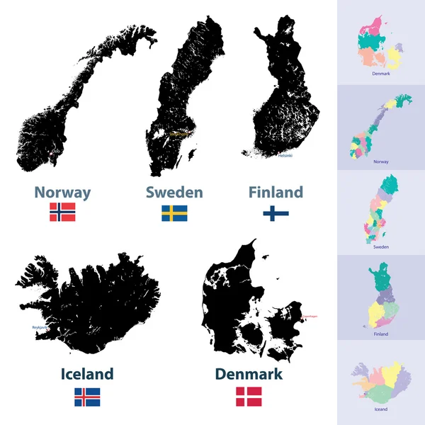
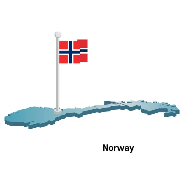
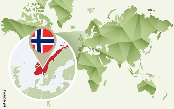
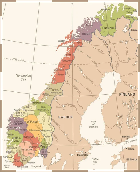
Stock image Norway Map page 2

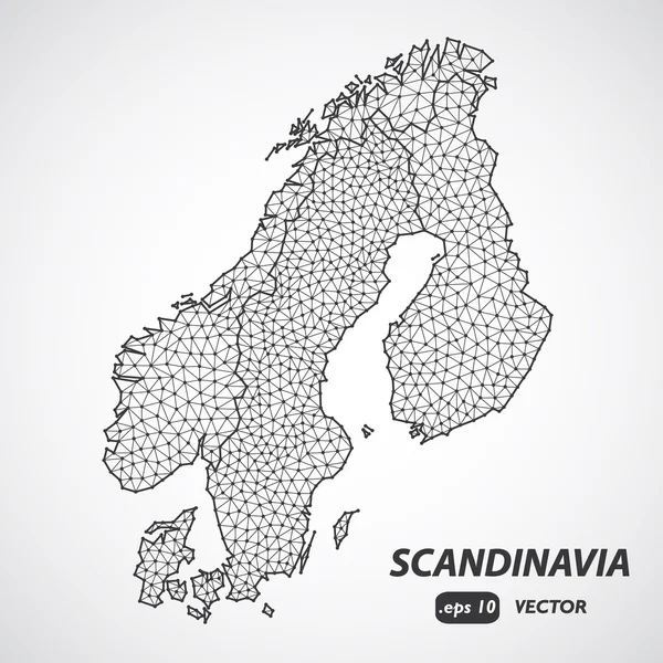
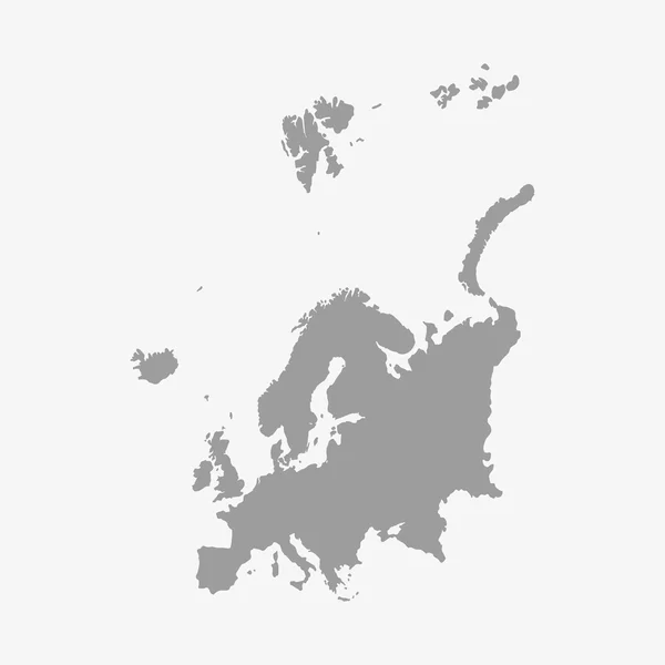
Scandinavia Borders Map, Scandinavia Low Poly Map Vector, Denmark, Norway, Sweden And Finland
Vector, 2.04MB, 4000 × 4000 eps


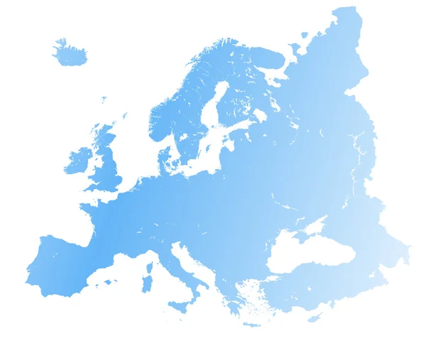
Eurasia Europa Russia China India Indonesia Thailand Africa Map - Vector Illustration
Vector, 7.35MB, 8700 × 5150 eps


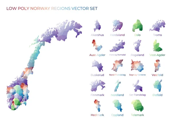
Norwegian Low Poly Regions Polygonal Map Of Norway With Regions Geometric Maps For Your Design
Vector, 1.82MB, 6496 × 4653 eps

Low Poly Map Of Norway. Dots And Lines Stylized In Triangle Illustration
Vector, 0.86MB, 4000 × 4000 eps

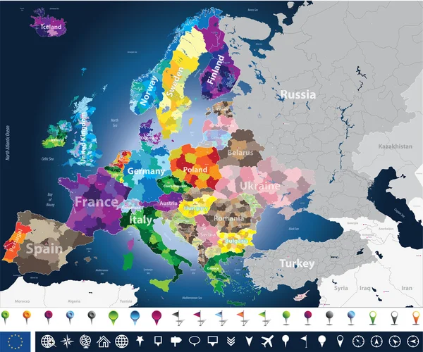
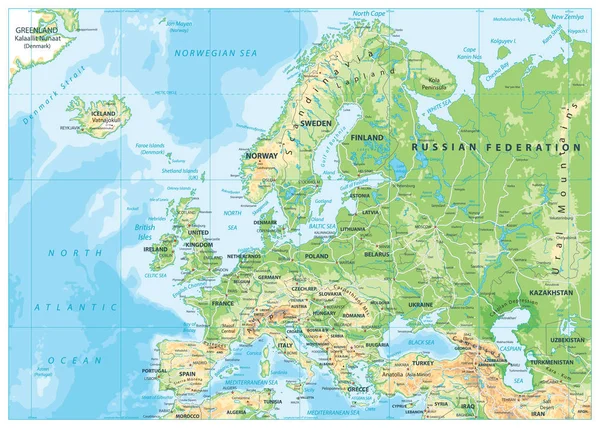
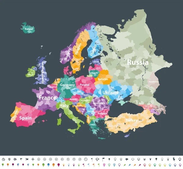
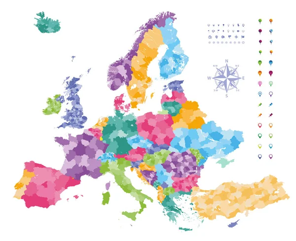
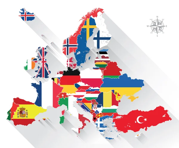
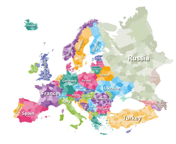
Map Of Europe Colored By Countries With Regions Borders. Flags Of All European Countries. Navigation, Location And Travel Icons. All Elements Separated In Labeled And Detached Layers. Vector
Vector, 13.87MB, 7292 × 7292 eps
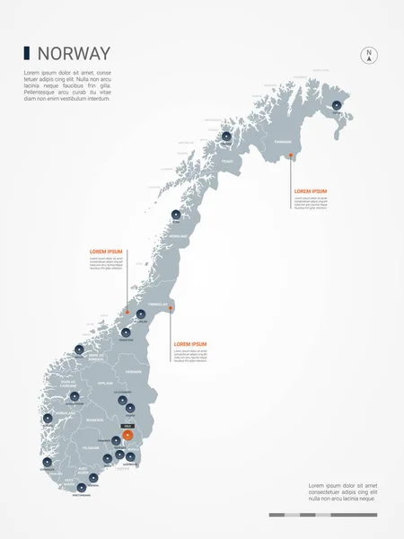
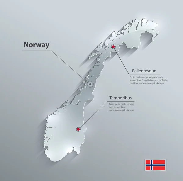
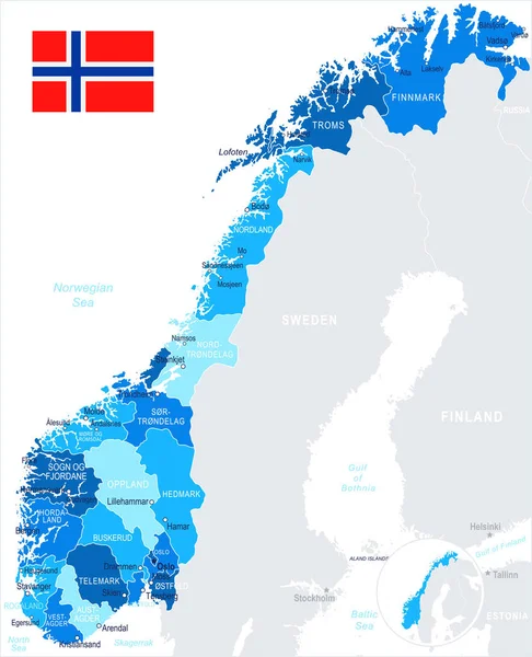
Norway Map With Borders, Cities, Capital And Administrative Divisions. Infographic Vector Map. Editable Layers Clearly Labeled.
Vector, 2.47MB, 3000 × 4000 eps

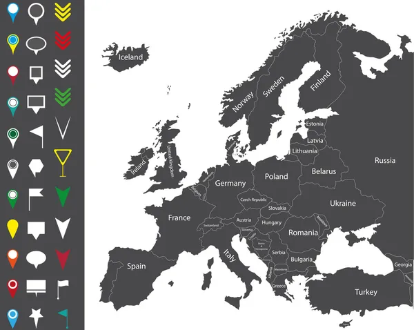
Europe Map Colored By Countries With Regions Borders. Navigation, Location And Travel Icons Collection. All Elements Separated In Labeled And Detachable Layers. Vector
Vector, 12.21MB, 7292 × 6731 eps

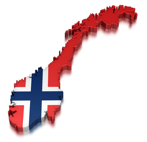
Blue 3D Map Of Norway A Dark Blue Background. 3D Illustration Of A Map Of Norway.
Image, 3.51MB, 5359 × 3500 jpg

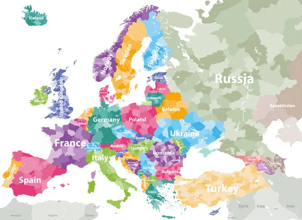
High Detailed Colored Political Map Of Europe With Countries' Regions. Vector
Vector, 11.99MB, 7285 × 5297 eps
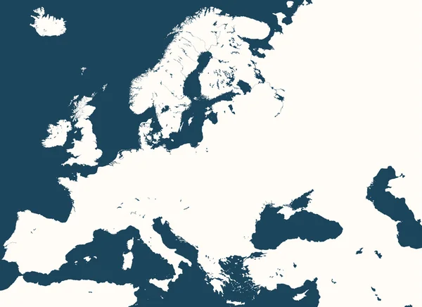
Europe Map Colored By Countries With Regions Borders. Navigation, Location And Travel Icons Collection.
Vector, 10.4MB, 7292 × 5952 eps


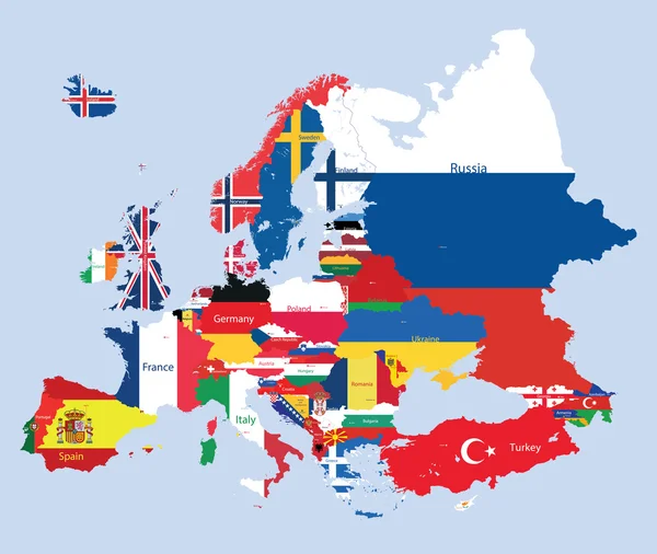
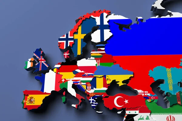
Europe Map Combined With Country Flags. All Elements Separated In Detachable Layers. Vector
Vector, 13.68MB, 7292 × 6028 eps


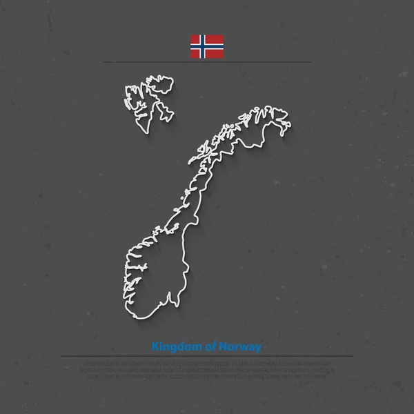
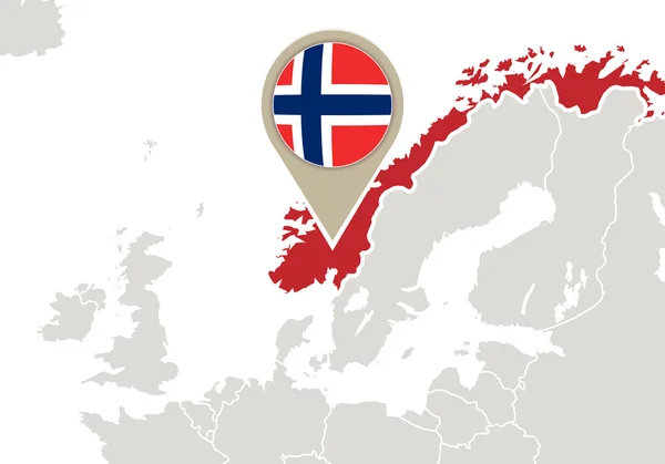
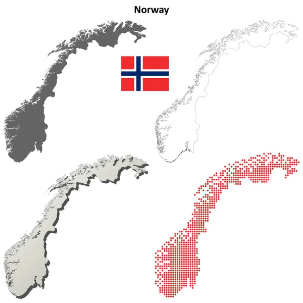
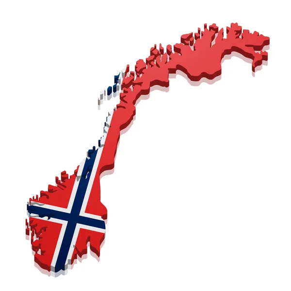
Kingdom Of Norway Isolated Map And Official Flag Icons. Vector Norwegian Political Map Thin Line Icon. Scandinavian Country Geographic Banner Template. Travel And Business Concept Maps
Vector, 4.88MB, 4000 × 4000 eps


Colored Political Map Of Europe With Countries' Regions. Vector Illustration
Vector, 12.22MB, 7292 × 5961 eps

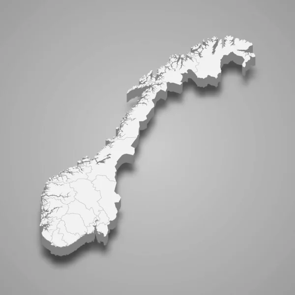
Isolated Blue 3D Map Of Norway A White Background. 3D Illustration Of A Map Of Norway.
Image, 2.27MB, 5359 × 3500 jpg
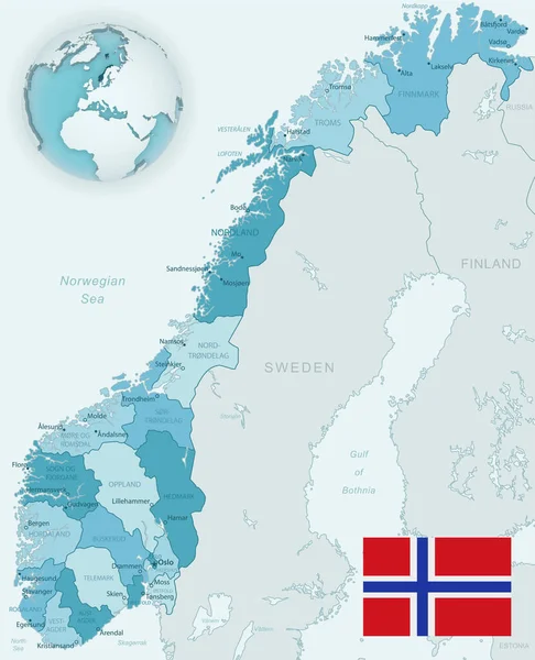
Blue-green Detailed Map Of Norway Administrative Divisions With Country Flag And Location On The Globe.
Vector, 16.36MB, 5182 × 6397 eps

Previous << Page 2 >> Next