
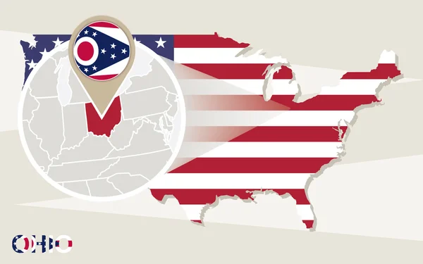
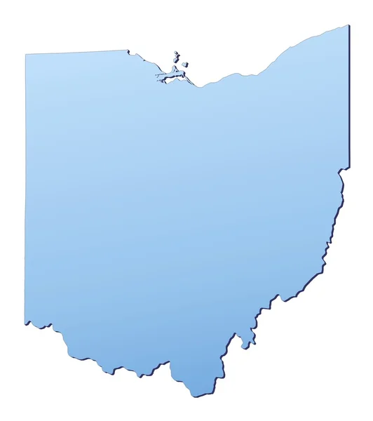
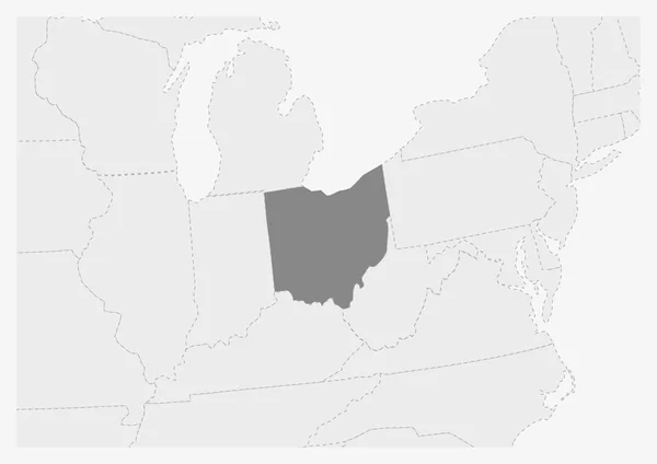
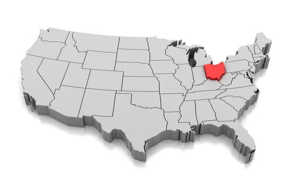
Stock image Ohio Map


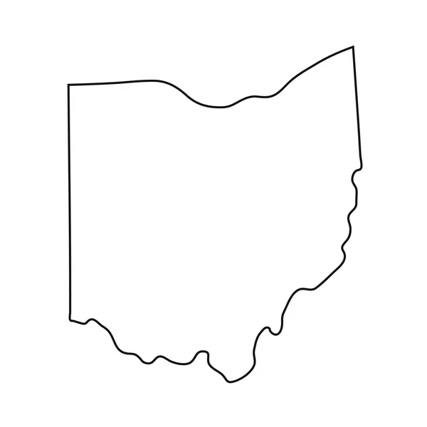
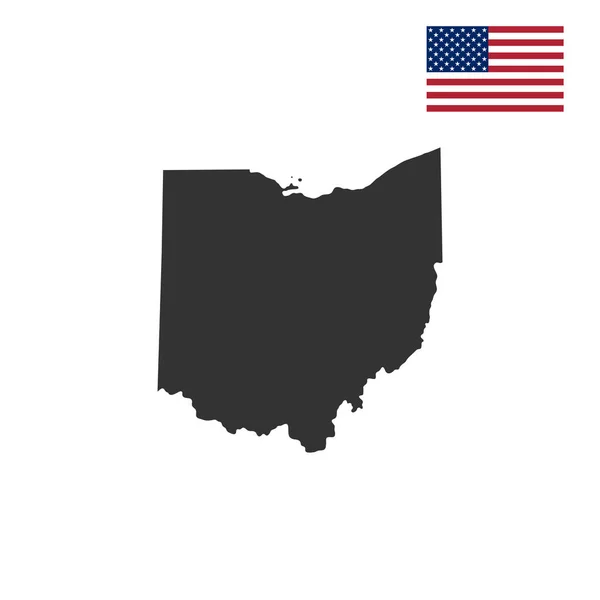
Ohio, State Of USA - Solid Black Outline Map Of Country Area. Simple Flat Vector Illustration
Vector, 0.22MB, 5000 × 5000 eps


Map Of The United States Of America (USA) State Of Ohio - Illustration On White Background.
Vector, 0.97MB, 6667 × 5001 eps
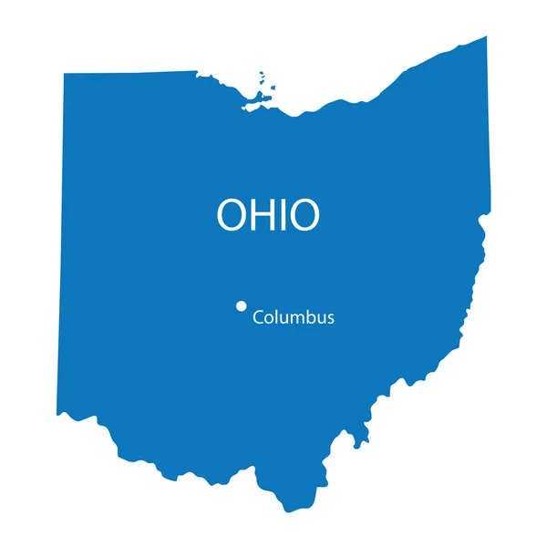
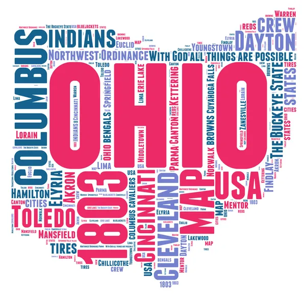
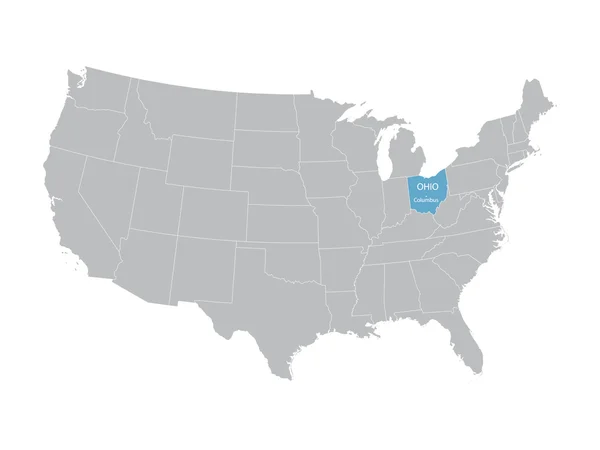
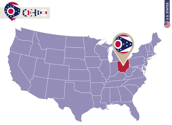
Ohio, OH, Political Map. State In East North Central Region Of Midwestern United States Of America. Capital Columbus. The Buckeye State. Birthplace Of Aviation. Heart Of It All. Illustration. Vector.
Vector, 3.56MB, 6000 × 7056 eps

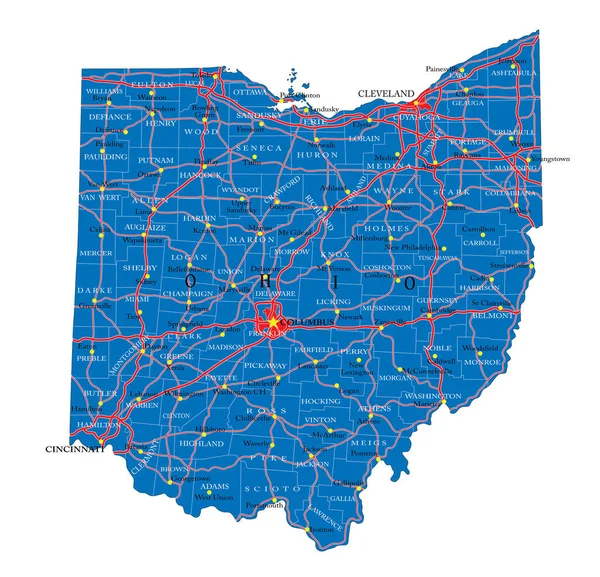
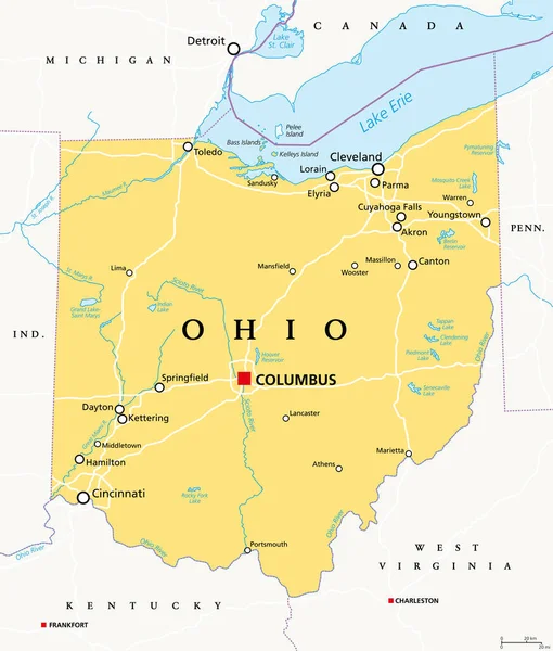
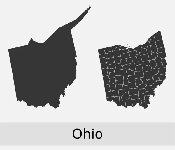
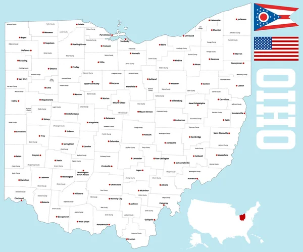
Detailed Map Of Ohio State,in Vector Format,with County Borders,roads And Major Cities
Vector, 4.12MB, 5000 × 4816 eps


Map Of The City Of Cincinnati, State Ohio, USA, , And Is The Government Seat Of Hamilton County
Vector, 11.24MB, 4818 × 6747 eps
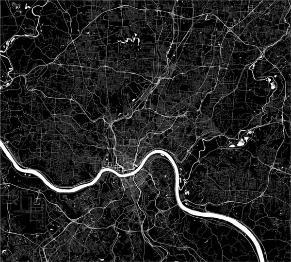
Map Of The City Of Cincinnati, State Ohio, USA, , And Is The Government Seat Of Hamilton County
Vector, 15.36MB, 5374 × 4836 eps
Ohio Vector Maps Counties, Townships, Regions, Municipalities, Departments, Borders
Vector, 5.36MB, 4736 × 4071 eps


Welcome To Ohio Vintage Rusty Metal Sign Vector Illustration. Vector State Map In Grunge Style With Typography Hand Drawn Lettering
Vector, 3.72MB, 7000 × 3821 eps


Ohio Black Silhouette Vector Map. Editable High Quality Illustration Of The American State Of Ohio Simple Map
Vector, 0.03MB, 3500 × 3500 eps

Ohio Map High Quality Vector. American State Simple Hand Made Line Drawing Map
Vector, 0.04MB, 3500 × 3500 eps
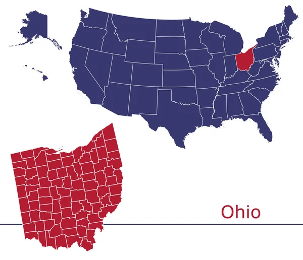

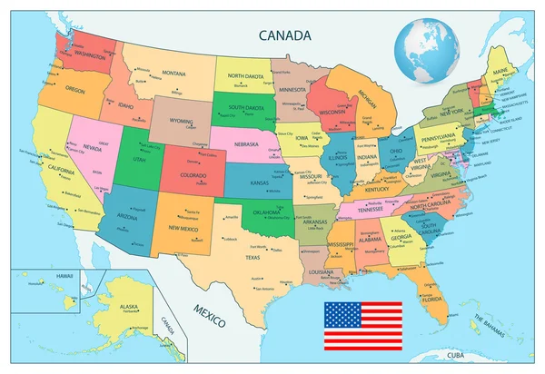


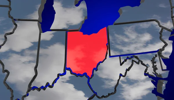
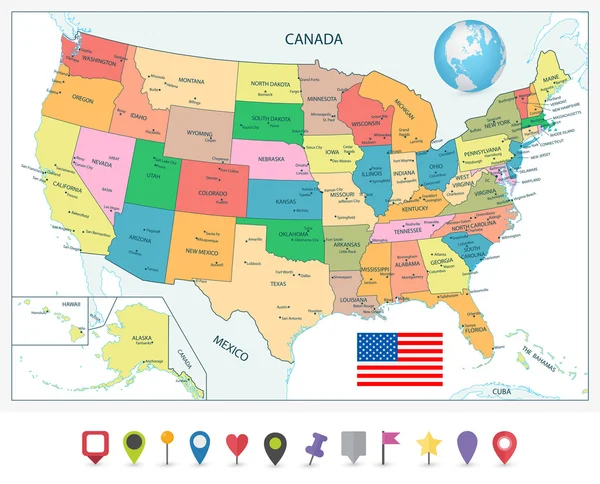
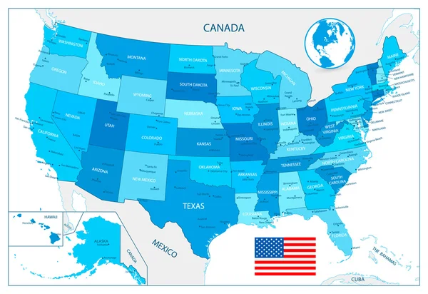
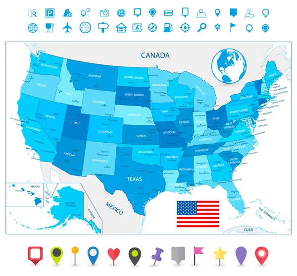
Highly Detailed USA Map Isolated On White. Blue Colors. Highly Detailed Editable Political Map.
Vector, 4.66MB, 5612 × 3858 eps
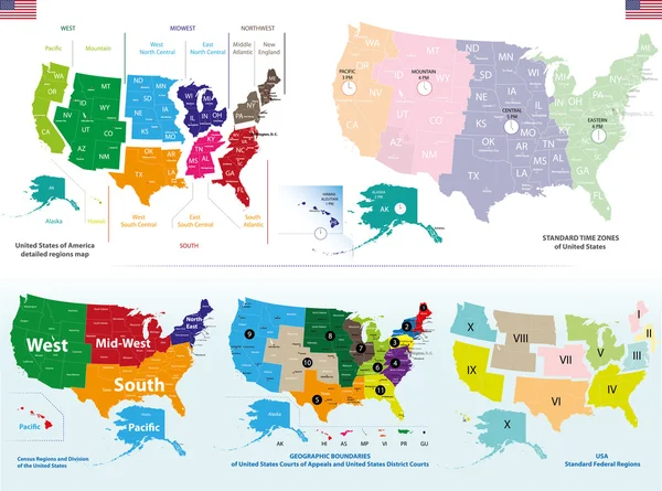
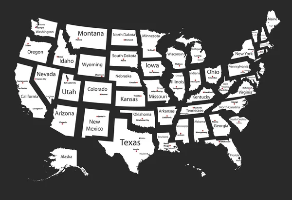

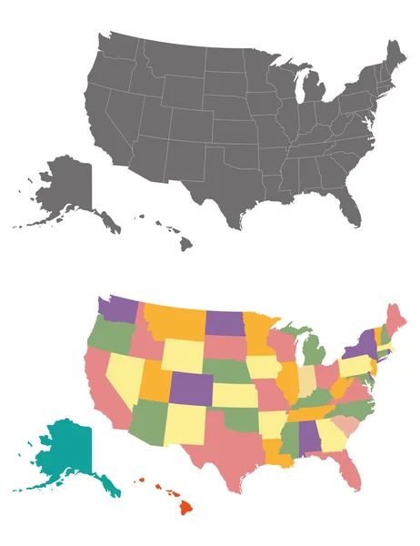
United States Census Bureau Regions Ans Divisions Map; Canadian Regions, Provinces And Territories Map. Flags And Location\navigation Icons. All Layers Detached And Labeled. Vector
Vector, 14.64MB, 9826 × 10417 eps


Page 1 >> Next