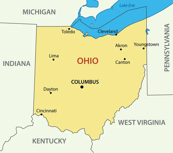
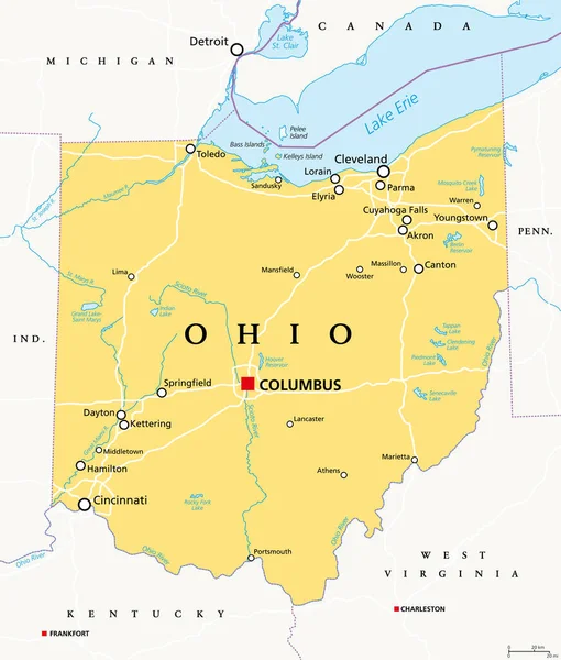
Stock vector Ohio, OH, political map. State in East North Central region of Midwestern United States of America. Capital Columbus. The Buckeye State. Birthplace of Aviation. Heart of It All. Illustration. Vector.
Published: Oct.16, 2020 07:02:45
Author: Furian
Views: 156
Downloads: 12
File type: vector / eps
File size: 3.56 MB
Orginal size: 6000 x 7056 px
Available sizes:
Level: silver