
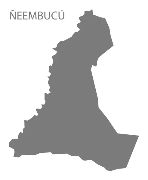
Stock image Paraguay Department


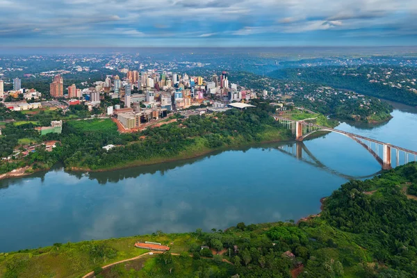
Aerial View Of The Paraguayan City Of Ciudad Del Este And Friendship Bridge, Connecting Paraguay And Brazil Through The Border Over The Parana River,.
Image, 16.77MB, 7360 × 4912 jpg
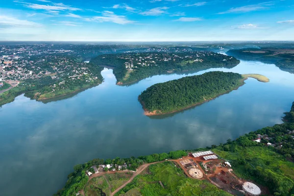
Aerial View Of The Paraguayan City Of Ciudad Del Este And Friendship Bridge, Connecting Paraguay And Brazil Through The Border Over The Parana River,.
Image, 23.17MB, 7360 × 4912 jpg

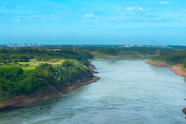
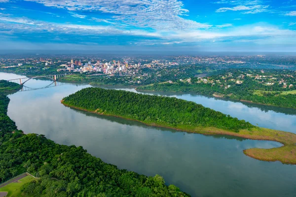
Parana River In The Border Of Brazil And Paraguay With A Distant Skyline View Paraguayan City Of Ciudad Del Este.
Image, 15.6MB, 7360 × 4912 jpg

Aerial View Of The Paraguayan City Of Ciudad Del Este And Friendship Bridge, Connecting Paraguay And Brazil Through The Border Over The Parana River, With Brazilian Customs And Immigrations Facilities In The Foreground
Image, 15.07MB, 7164 × 4781 jpg

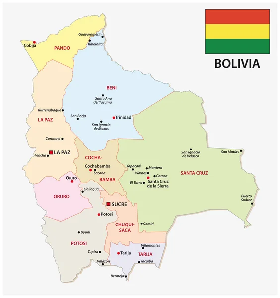

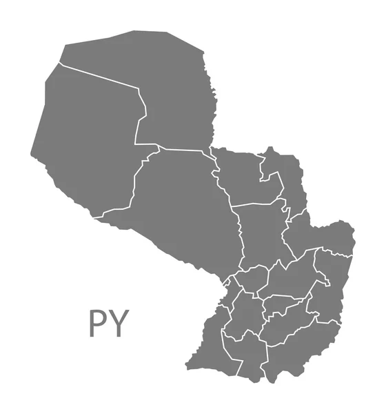
Paraguay Political Map Of Administrative Divisions - Departments And Capital District. Blank Outline Map. Solid Thin Black Line Borders.
Vector, 0.27MB, 8000 × 8000 eps
Aerial View Of The Paraguayan City Of Ciudad Del Este And Friendship Bridge, Connecting Paraguay And Brazil Through The Border Over The Parana River.
Image, 23.94MB, 7360 × 4912 jpg

Paraguay Political Map Of Administrative Divisions - Departments And Capital District. Shaded Vector Map With 3D-like Blue Gradient And Name Labels
Vector, 0.34MB, 10000 × 10000 eps

Blank Map Cordillera Department Of Paraguay. High Quality Map Department Of Cordillera With Districts On Transparent Background For Your Web Site Design, Logo, App, UI. Republic Of Paraguay. EPS10.
Vector, 3.71MB, 5000 × 5000 eps
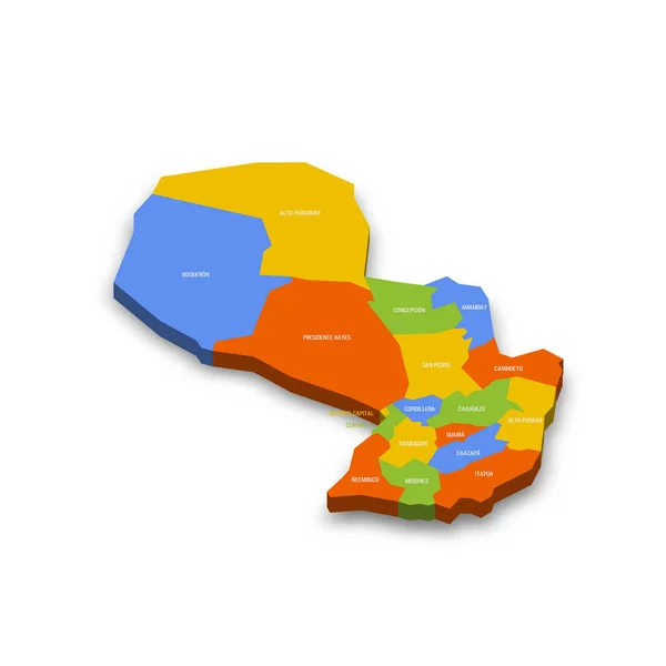
Paraguay Political Map Of Administrative Divisions - Departments And Capital District. Colorful 3D Vector Map With Country Province Names And Dropped Shadow.
Vector, 27.69MB, 8000 × 8000 eps


Page 1 >> Next