
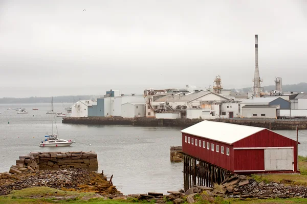
Stock image Penobscot page 2

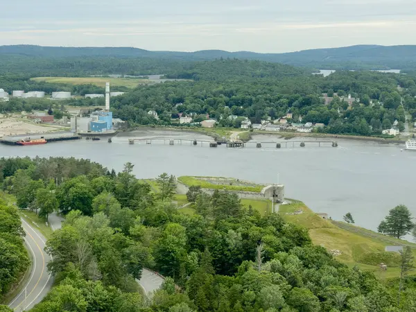
Penobscot, Maine, USA 2024. Aerial Photo Of The Penobscot River Between Verona Island And Prospect
Image, 11.57MB, 8000 × 4082 jpg

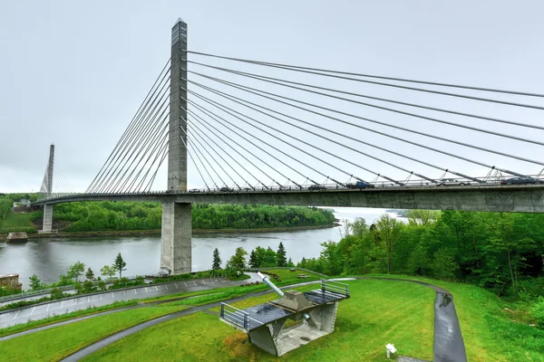
Prospect, Maine, USA. Penobscot Narrows Bridge Observatory Photo 2024
Image, 4.11MB, 3000 × 4000 jpg
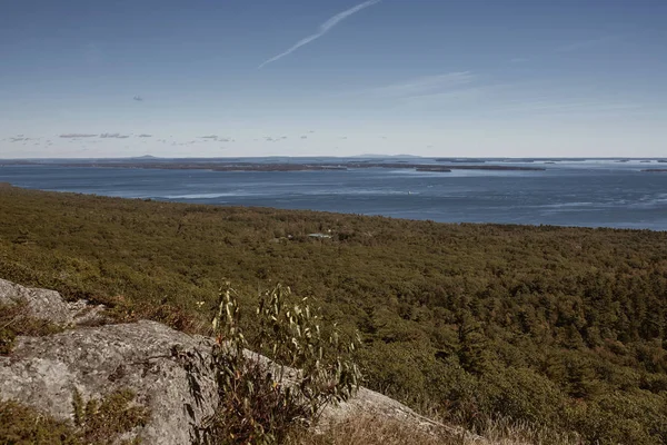
Overlooking Penobscot Bay From The Summit Of Mt Battie At Camden Hills Stat Park In Camden, Maine.
Image, 16.59MB, 5760 × 3840 jpg


Maine Counties, Gray Political Map With Borders And County Names. State In The New England Region Of The United States, Subdivided Into 16 Counties. Nicknamed Pine Tree State, Or Also Vacationland.
Vector, 2.02MB, 6000 × 8634 eps

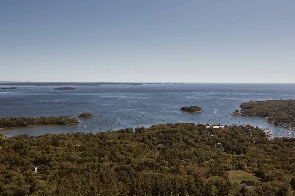
View Of Camden, Maine And Penobscot Bay From The Top Of Mount Battie In Summer
Image, 25.35MB, 16072 × 2995 jpg


Overlooking Penobscot Bay From The Summit Of Mt Battie At Camden Hills Stat Park In Camden, Maine.
Image, 15.9MB, 3840 × 5760 jpg

Hiking Over Bedrock On The Summit Of Mt Battie At Camden Hills Stat Park In Camden, Maine.
Image, 17.51MB, 5760 × 3840 jpg

U.S. States - Map Of Maine. Hand Made. Rivers And Lakes Are Shown. Please Look At My Other Images Of Cartographic Series - They Are All Very Detailed And Carefully Drawn By Hand WITH RIVERS AND LAKES.
Vector, 2.8MB, 6060 × 8080 eps
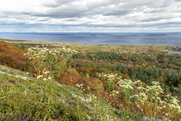
White Aster Flowers Bloom Over The Autumn Landscape High Above Penobscot Bay On Mount Battie Near Camden, Maine. The Summits Of Acadia National Park On Mt. Desert Island Rise On The Horizon.
Image, 16.76MB, 6000 × 4000 jpg
Overlooking Penobscot Bay From The Summit Of Mt Battie At Camden Hills Stat Park In Camden, Maine.
Image, 9.89MB, 5760 × 3840 jpg


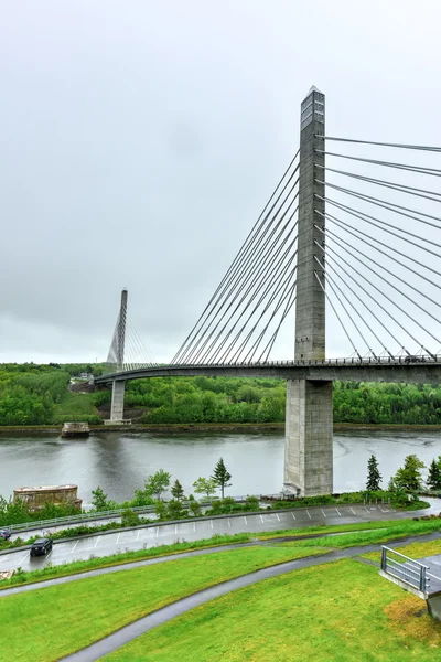
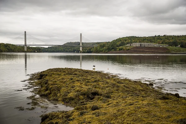
Penobscot, Maine, USA 2024. Aerial Photo Of The Penobscot River Between Verona Island And Prospect
Image, 5.4MB, 4000 × 3000 jpg

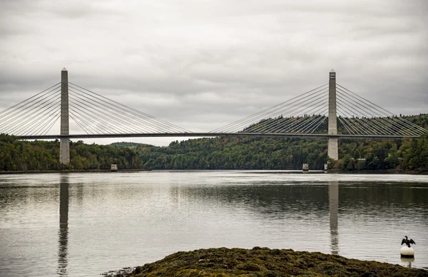
Penobscot, Maine, USA 2024. Aerial Photo Of The Penobscot River Between Verona Island And Prospect
Image, 6.38MB, 4000 × 3000 jpg

Maine Counties, Political Map With Borders And County Names. State In The New England Region Of The United States, Subdivided Into 16 Counties. Nicknamed The Pine Tree State, Or Also Vacationland.
Vector, 3.18MB, 6000 × 8211 eps

Maine, U.S. State, Subdivided Into 16 Counties, Multi Colored Political Map With Capital Augusta, Borders And County Names. State In The New England Region Of The USA. Pine Tree State. Vacationland.
Vector, 2.03MB, 6000 × 8634 eps


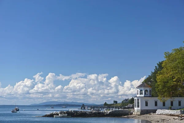
Castine, Maine, USA: Beautiful White Clouds In A Blue Sky Over The Harbor At Castine, With Small Boats In Penobscot Bay And Mountains In The Distance.
Image, 9.63MB, 5908 × 3939 jpg
Penobscot, Maine, USA 2024. Aerial Photo Of The Penobscot River Between Verona Island And Prospect
Image, 7.28MB, 4000 × 3000 jpg

Previous << Page 2 >> Next