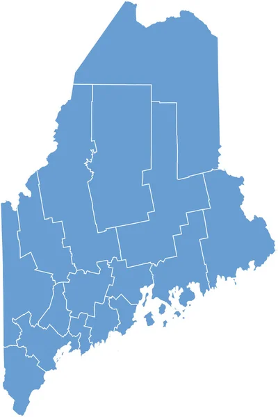
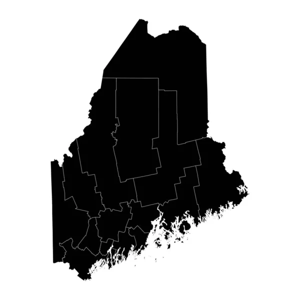
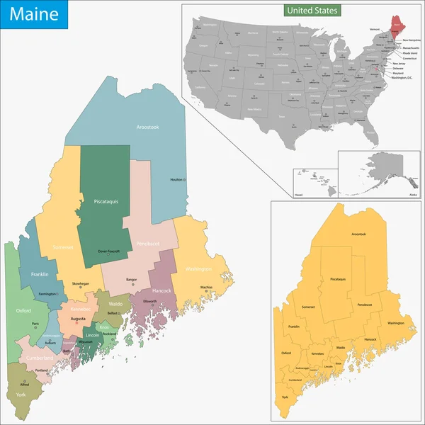
Stock vector Maine counties, gray political map with borders and county names. State in the New England region of the United States, subdivided into 16 counties. Nicknamed Pine Tree State, or also Vacationland.

Published: Jul.28, 2024 07:02:53
Author: Furian
Views: 0
Downloads: 0
File type: vector / eps
File size: 2.02 MB
Orginal size: 6000 x 8634 px
Available sizes:
Level: silver