
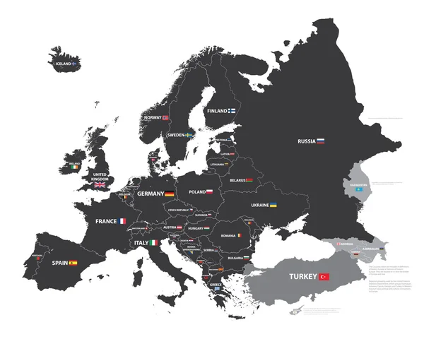
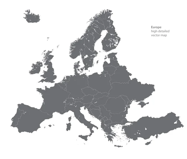
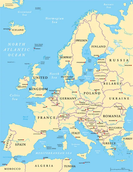
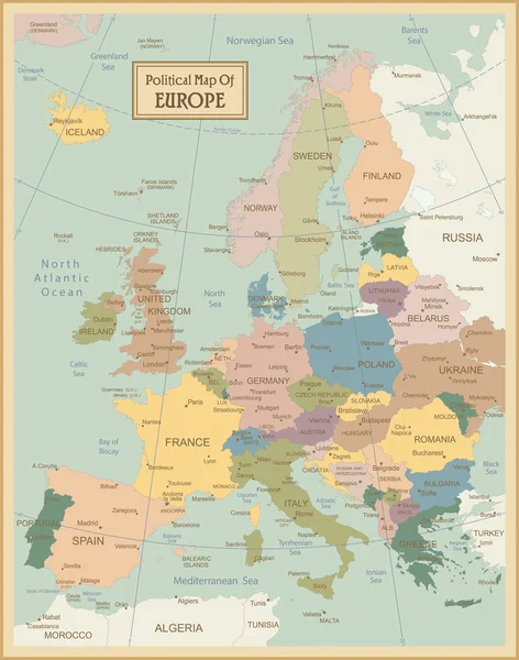
Stock image Political Map Europe
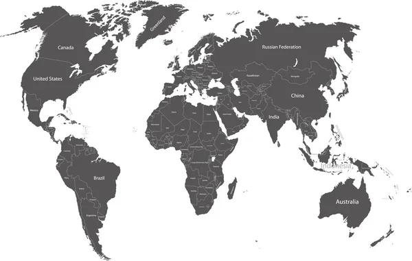
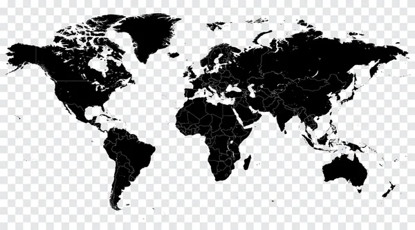
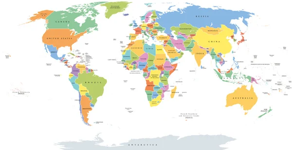
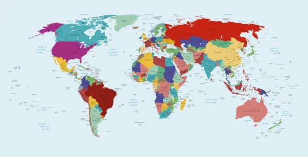
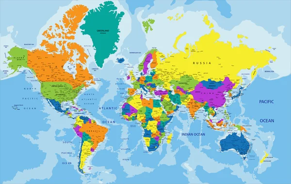
World Map In Grey Color On White Background. High Detail Blank Political Map. Vector Illustration With Labeled Compound Path Of Each Country
Vector, 3.96MB, 8000 × 6000 eps
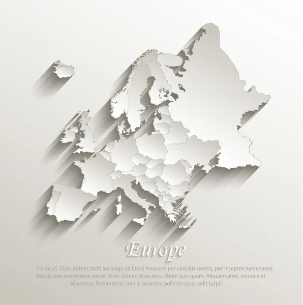
Europe Political Map Card Paper 3D Natural Vector Individual States Separate
Vector, 9.68MB, 4022 × 4044 eps
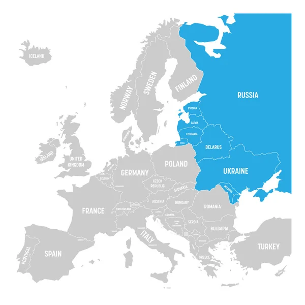
Former Union Of Soviet Socialist Republics, USSR, Russia, Ukraine, Belarus, Estonia, Latvia, Lithuania And Moldova Blue Highlighted In The Political Map Of Europe. Vector Illustration
Vector, 0.68MB, 6000 × 6000 eps

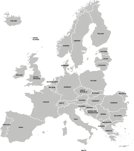
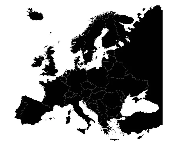
Map Of Europe With Names Of Sovereign Countries, Ministates Included. Simplified Black Vector Map On White Background
Vector, 0.59MB, 6000 × 6000 eps
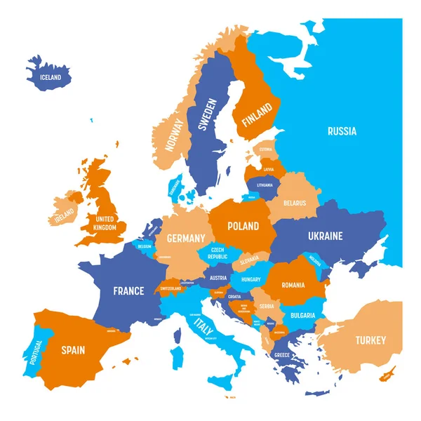
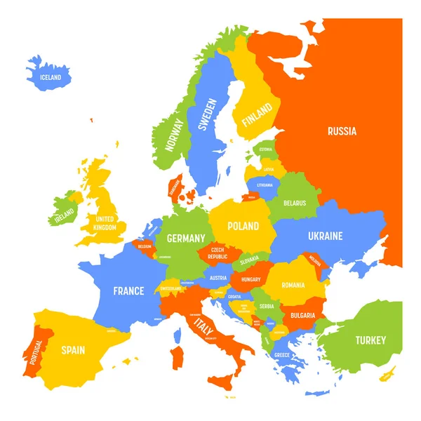
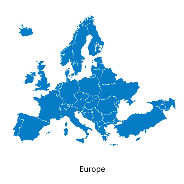
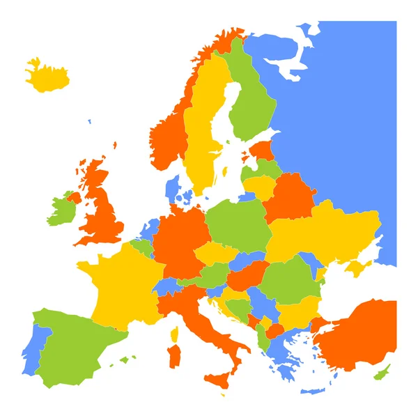
Political Map Of Europe Continent In Four Colors With White Country Name Labels And Isolated On White Background. Vector Illustration
Vector, 0.51MB, 6000 × 6000 eps
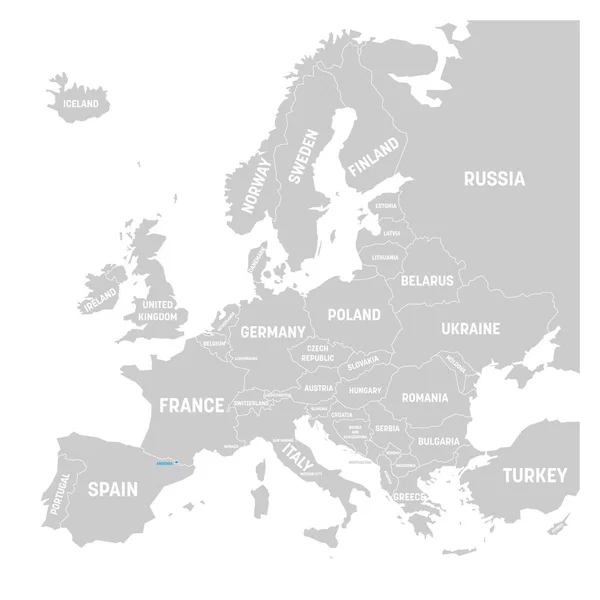
Andorra Marked By Blue In Grey Political Map Of Europe. Vector Illustration
Vector, 0.53MB, 6000 × 6000 eps

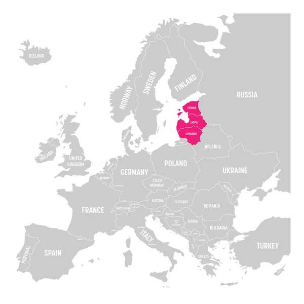
Baltic States Estonia, Latvia And Lithuania Pink Highlighted In The Political Map Of Europe. Vector Illustration
Vector, 0.53MB, 6000 × 6000 eps
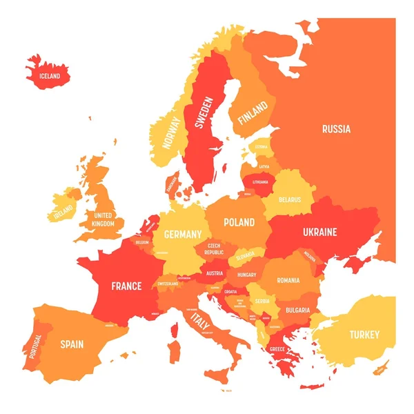
Political Map Of Europe Continent In Four Shades Of Orange With White Country Name Labels And Isolated On White Background. Vector Illustration
Vector, 0.52MB, 6000 × 6000 eps


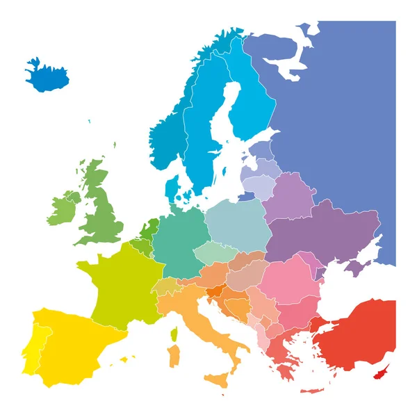
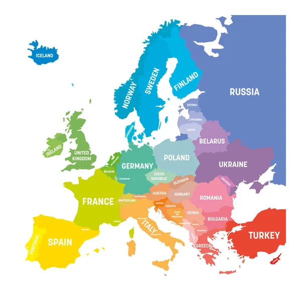
Map Of Europe In Colors Of Rainbow Spectrum. With European Countries Names
Vector, 0.47MB, 6000 × 6000 eps
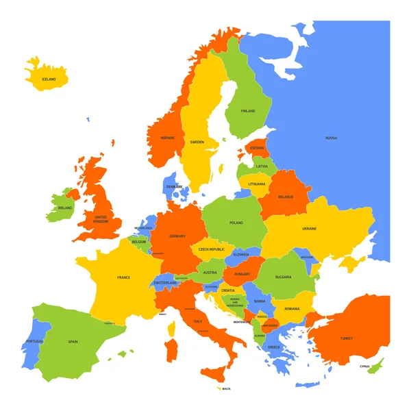
Political Map Of Europe Continent In Four Colors With White Country Name Labels And Isolated On White Background. Vector Illustration
Vector, 1.04MB, 6000 × 3000 eps
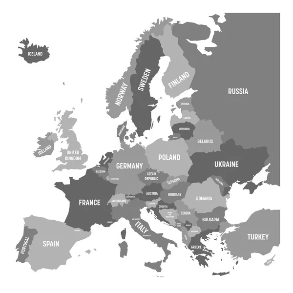
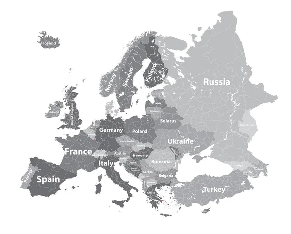
Political Map Of Europe Continent In Four Shades Of Grey With White Country Name Labels And Isolated On White Background. Vector Illustration
Vector, 0.51MB, 6000 × 6000 eps

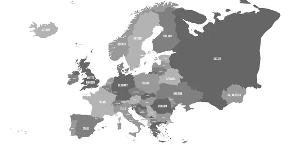
Political Map Of Europe Continent In Four Shades Of Grey. With Whole European Part Of Russia And Kazakhstan. Vector Illustration
Vector, 0.97MB, 6000 × 3000 eps

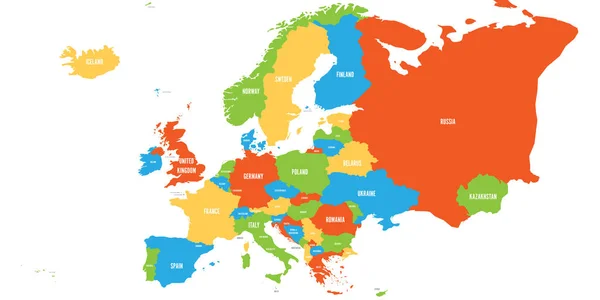
Political Map Of Europe Continent In Four Colors With White Country Name Labels And Isolated On White Background. Vector Illustration
Vector, 1.05MB, 6000 × 3000 eps


Political Map Of Europe Continent In Four Colors With White Country Name Labels And Isolated On White Background. Vector Illustration
Vector, 1.04MB, 6000 × 3000 eps
Map Of Europe In Colors Of Rainbow Spectrum. With European Countries Names
Vector, 0.57MB, 6000 × 6000 eps
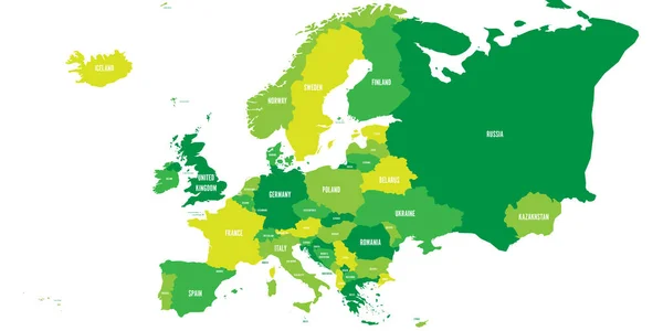
Political Map Of Europe Continent In Four Shades Of Green With White Country Name Labels And Isolated On White Background. Vector Illustration
Vector, 1.04MB, 6000 × 3000 eps
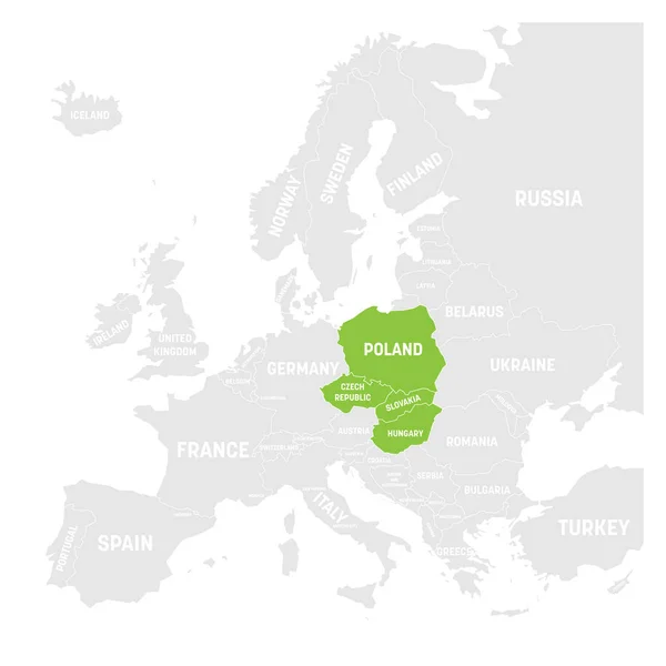
Visegrad Four Map States Highlighted By Green In Map Of Europe. White Country Name Labels And Isolated On White Background. Vector Illustration
Vector, 0.54MB, 6000 × 6000 eps

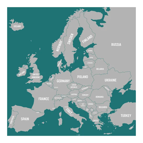
Political Map Of Europe Continent In Four Shades Of Turquoise Blue With White Country Name Labels And Isolated On White Background. Vector Illustration
Vector, 0.52MB, 6000 × 6000 eps

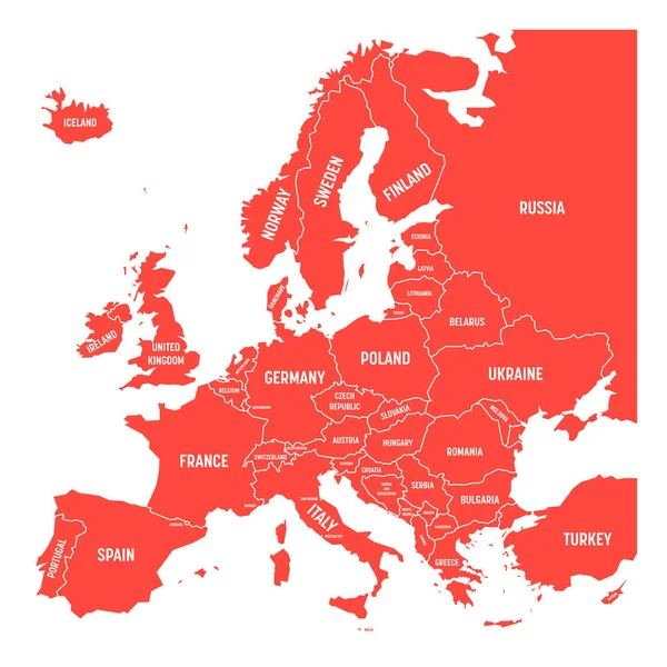
Map Of Europe With Names Of Sovereign Countries, Ministates Included. Simplified Red Vector Map On White Background
Vector, 0.59MB, 6000 × 6000 eps
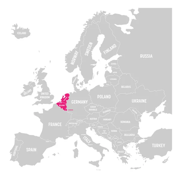
Benelux States Belgium, Netherlands And Luxembourg Pink Highlighted In The Political Map Of Europe. Vector Illustration
Vector, 0.68MB, 6000 × 6000 eps
Page 1 >> Next