
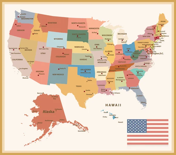
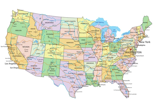
Stock image Political Map Of Usa page 5
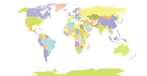
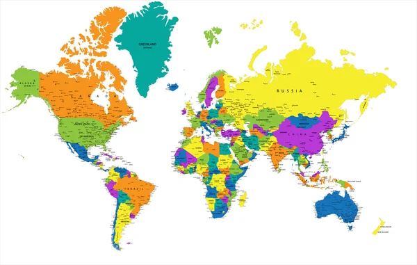
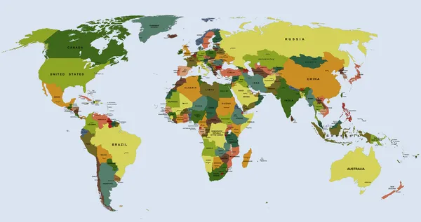
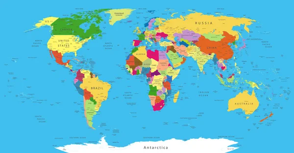
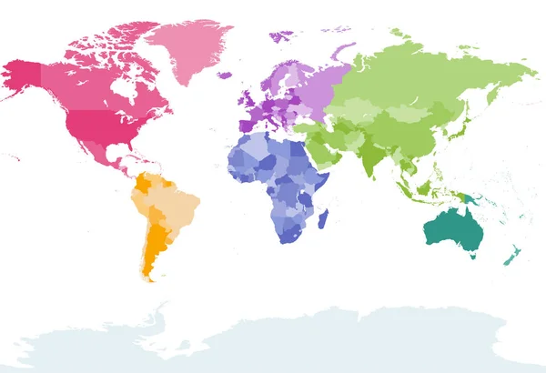
Political Detail World Map With Separated Country. Vector Illustration
Vector, 19.17MB, 5000 × 2596 eps

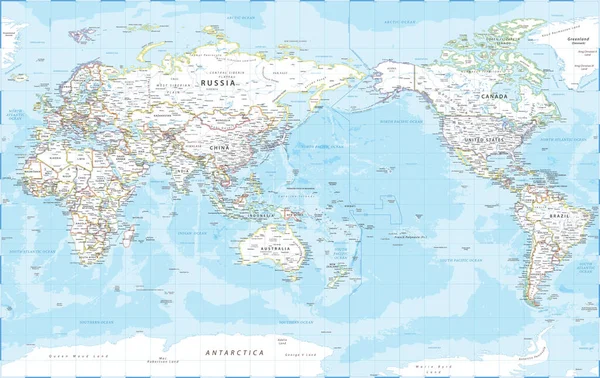
World Map - Pacific View - Asia China Center - Political Topographic - Vector Detailed
Vector, 64.01MB, 6205 × 3917 eps
World Map - America Centered. Green Hue Colored On Dark Background. High Detailed Political Map Of World With Country, Capital, Ocean And Sea Names Labeling
Vector, 5.38MB, 6000 × 3250 eps
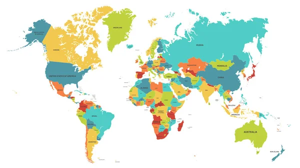
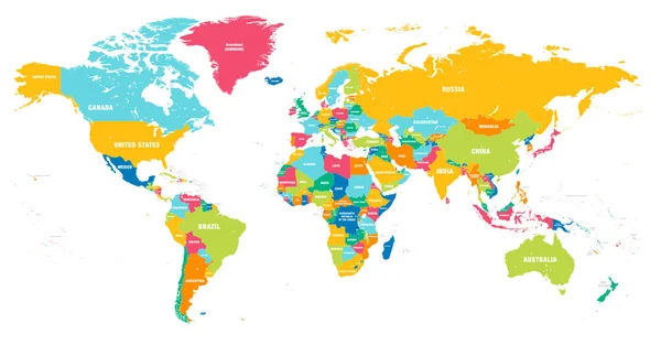
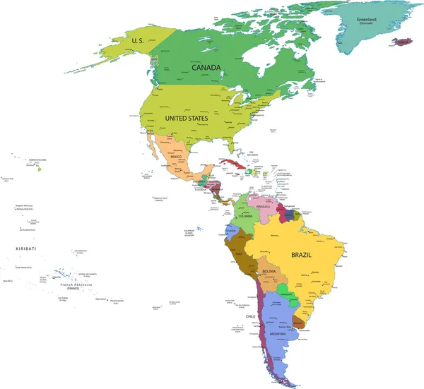
Colored World Map. Political Maps, Colourful World Countries And Country Names Vector Illustration
Vector, 5.59MB, 6080 × 3420 eps
World Map Paper. Political Map Of The World On A Gray Background. Countries. Vector Illustration. White.
Vector, 2.39MB, 3125 × 2083 eps

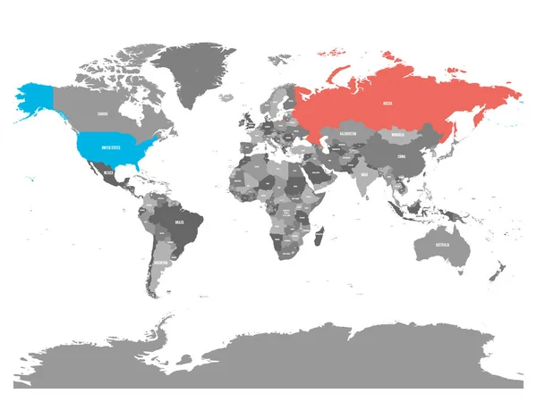
United States And Russia Highlighted On Political Map Of World. Vector Illustration.
Vector, 6.48MB, 6000 × 4500 eps
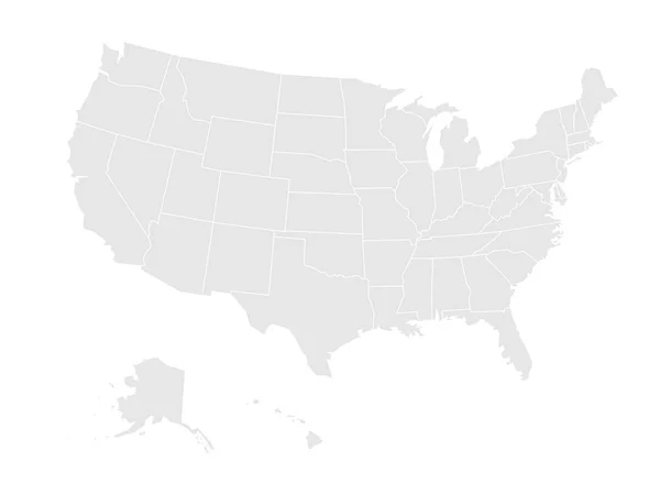
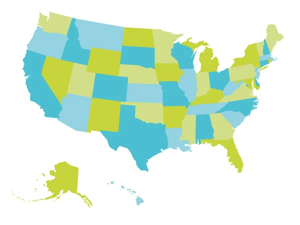
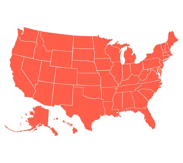
Blank Map Of United States Of America. Vector Illustration In Grey On White Background
Vector, 0.62MB, 6000 × 4500 eps
United States And Russia Highlighted On Political Map Of World. Vector Illustration.
Vector, 4.42MB, 6000 × 4500 eps
World Map - America Centered. Brown Orange Hue Colored On Dark Background. High Detailed Political Map Of World With Country, Ocean And Sea Names Labeling
Vector, 5.38MB, 6000 × 3250 eps
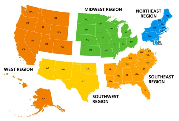
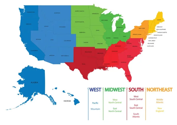
United States, Geographic Regions, Colored Political Map. Five Regions, According To Their Geographic Position On The Continent. Common But Unofficial Way Of Referring To Regions Of The United States.
Vector, 3.6MB, 8832 × 6000 eps

United States Of America Isolated Map And Minnesota State Territory. Vector USA Political Map. Geographic Banner Template
Vector, 0.76MB, 6000 × 4000 eps

United States Of America Isolated Map And Nebraska State Territory. Vector USA Political Map. Geographic Banner Template
Vector, 0.76MB, 6000 × 4000 eps
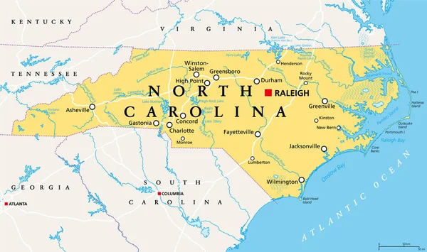
North Carolina, NC, Political Map. With The Capital Raleigh And Largest Cities. State In The Southeastern Region Of The United States Of America. Old North State. Tar Heel State. Illustration. Vector.
Vector, 5.04MB, 9000 × 5331 eps

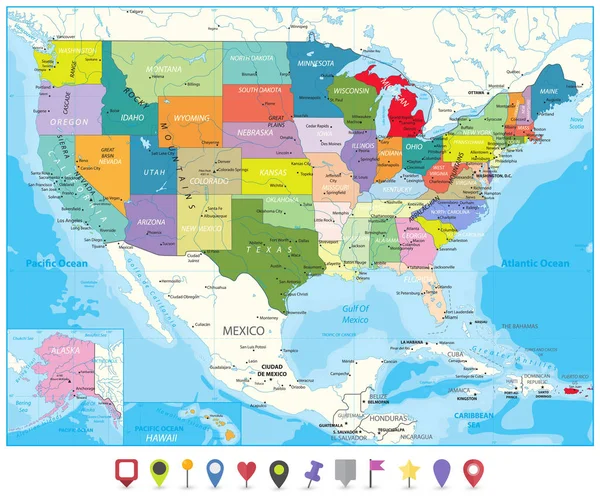
USA Map Infographic Political Map Individual States Blue Green Card Paper 3D Vector
Vector, 4.14MB, 4044 × 4022 eps

United States Of America Isolated Map And Massachusetts State Territory. Vector USA Political Map. Geographic Banner Template
Vector, 0.81MB, 6000 × 4000 eps
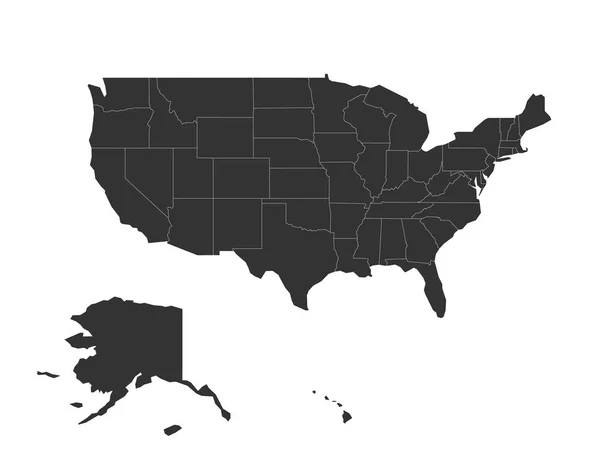
Blank Map Of United States Of America - USA. Simplified Dark Grey Silhouette Vector Map On White Background
Vector, 0.66MB, 6000 × 4500 eps
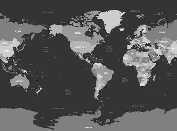
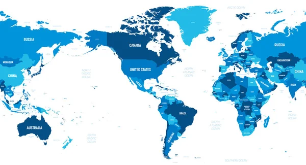
World Map - America Centered. Grey Colored On Dark Background. High Detailed Political Map Of World With Country, Capital, Ocean And Sea Names Labeling
Vector, 6.62MB, 6000 × 4421 eps
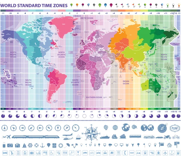
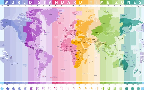
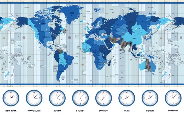
World Standard Time Zones Map With Clocks, Navigation And Travel Icons
Vector, 13.3MB, 5208 × 4573 eps

United States Of America Isolated Map And New York State Territory. Vector USA Political Map. Geographic Banner Template
Vector, 0.73MB, 6000 × 4000 eps

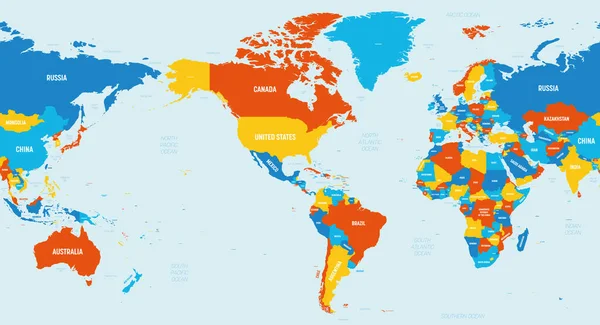
World Map - America Centered. High Detailed Political Map Of World With Country, Ocean And Sea Names Labeling
Vector, 5.38MB, 6000 × 3250 eps


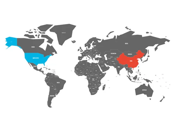
United States And China Highlighted On Political Map Of World. Vector Illustration
Vector, 1.32MB, 6000 × 4500 eps
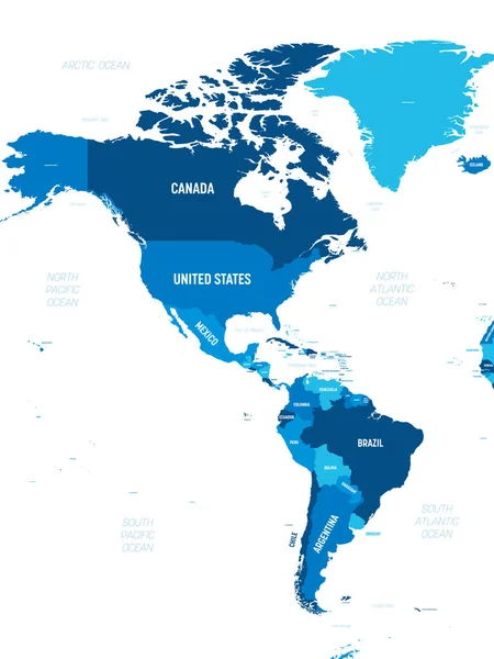
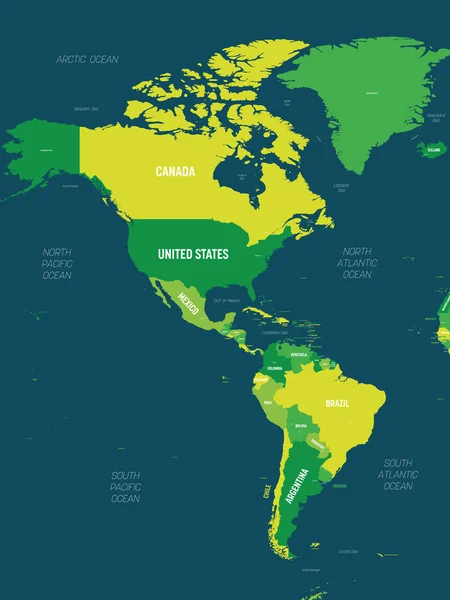
Americas Map - Green Hue Colored On Dark Background. High Detailed Political Map Of North And South America Continent With Country, Capital, Ocean And Sea Names Labeling
Vector, 2.47MB, 4500 × 6000 eps
United States And China Highlighted On Political Map Of World. Vector Illustration
Vector, 1.31MB, 6000 × 4500 eps
World Map - America Centered. 4 Bright Color Scheme. High Detailed Political Map Of World With Country, Ocean And Sea Names Labeling
Vector, 5.41MB, 6000 × 3250 eps

United States And Russia Highlighted On Political Map Of World. Vector Illustration.
Vector, 2.47MB, 6000 × 4500 eps
Americas Map - Green Hue Colored On Dark Background. High Detailed Political Map Of North And South America Continent With Country, Capital, Ocean And Sea Names Labeling
Vector, 2.77MB, 4500 × 6000 eps

Red Political Map Of USA, United States Of America Vector Illustration
Vector, 1.4MB, 7500 × 6667 eps
Previous << Page 5 >> Next