
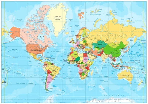
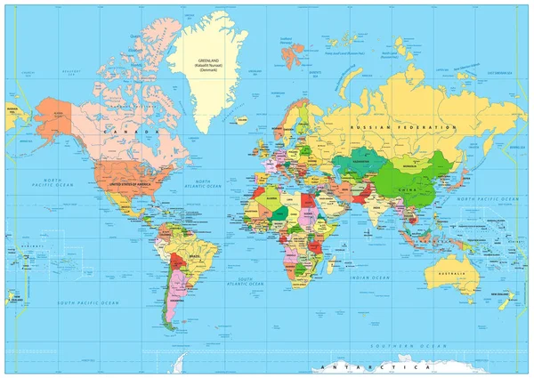
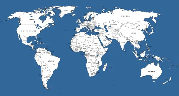
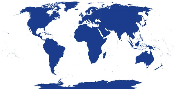
Stock image Projection World Map
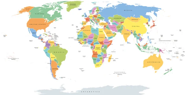


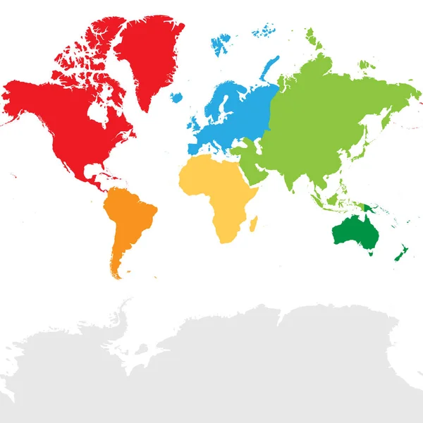
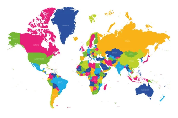
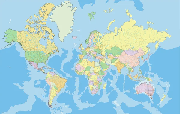
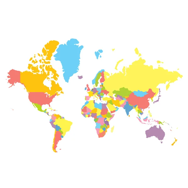
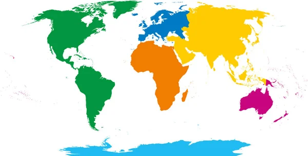
Map Of World Continents - North America, South America, Africa, Europe, Asia And Australia. Mercator Projection. Each Continent In Different Color.
Vector, 4.17MB, 8000 × 8000 eps
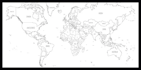
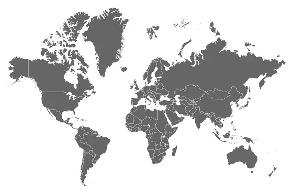
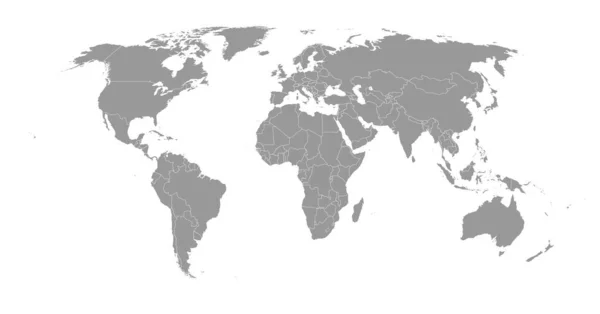
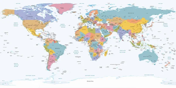
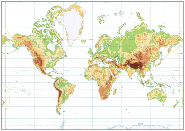
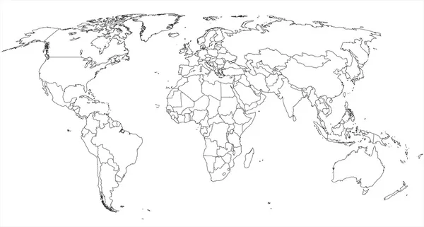
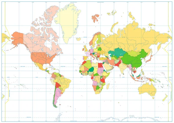
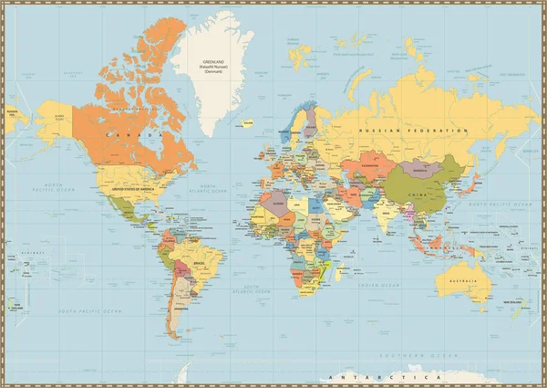
High Resolution Grey Map Of The World Split Into Individual Countries. High Detail World Map
Vector, 10.74MB, 12500 × 8334 eps
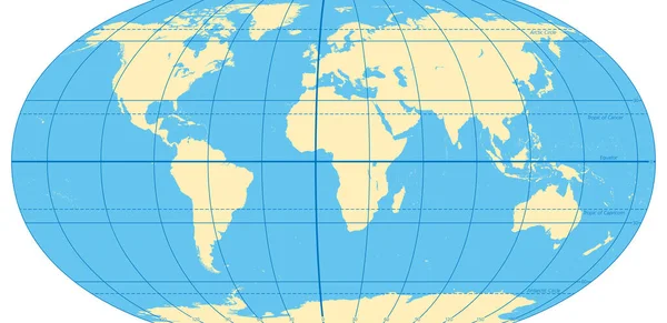
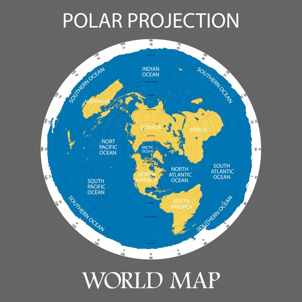
World Map With Most Important Circles Of Latitudes And Longitudes, Showing Equator, Greenwich Meridian, Arctic And Antarctic Circle, Tropic Of Cancer And Capricorn. English. Illustration. Vector.
Vector, 3.17MB, 9000 × 4378 eps
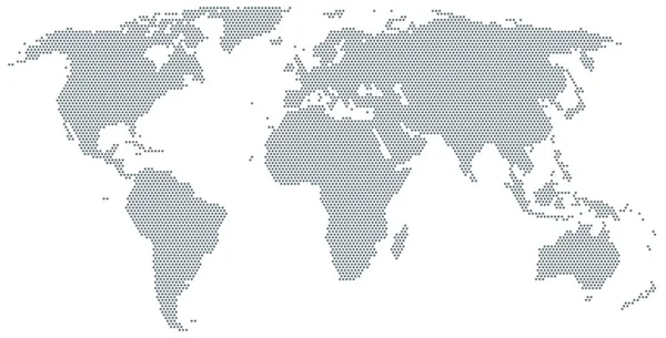
Map Of The World Made Of Gray Dots. Dotted Silhouette, Outline And Surface Of The Earth Under Robinson Projection. Dots In A Row. Isolated Illustration On White Background. Vector.
Vector, 3.83MB, 10633 × 5410 eps
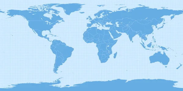
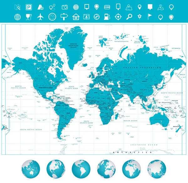
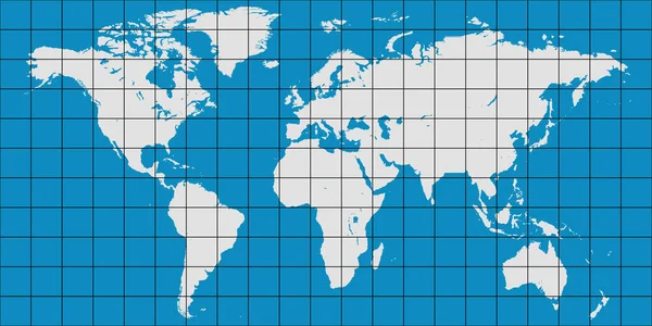
World Map In Equirectangular Projection (equidistant Cylindrical Projection, Geographic Projection, EPSG:4326). Detailed Vector Earth Map With Countries Borders And 5-degree Grid.
Vector, 14.38MB, 16667 × 8334 eps

World Map Patterson Cylindrical Projection Map Of The World With Meridians On Blue Background
Vector, 6.66MB, 6984 × 4308 eps
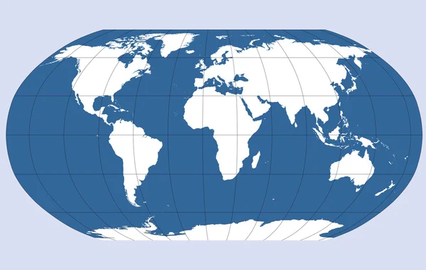

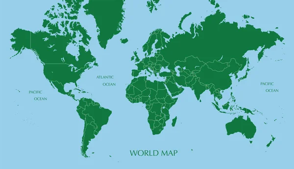
World Map With Coordinate Grid And Meridian And Parallel, Map Of Planet Earth
Vector, 4.82MB, 6000 × 3000 eps
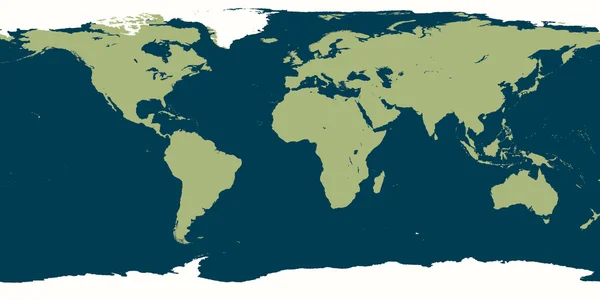
Vector Illustration. Detailed World Map In Blue Tones With Dust Texture.
Vector, 9.35MB, 7938 × 4278 eps
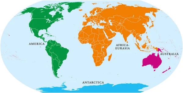
Four Continents World Map. America, Africa-Eurasia, Australia And Antarctica. Political Map With Shorelines And Borders. Robinson Projection. English Labeling. Isolated On White Background. Vector.
Vector, 6.68MB, 10633 × 5458 eps
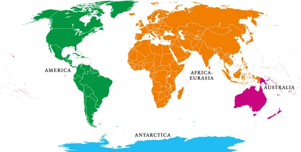
Four Continents. World Map With National Borders. America, Africa-Eurasia, Australia And Antarctica. Political Map Under Robinson Projection. English Labeling. Isolated On White Background. Vector.
Vector, 6.65MB, 10633 × 5394 eps
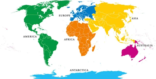
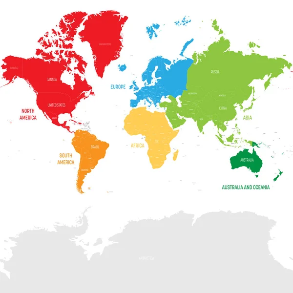
Six Continents, Political World Map, With Borders. Africa, America, Antarctica, Asia, Australia And Europe. Robinson Projection. English Labeling. Isolated Illustration On White Background. Vector.
Vector, 6.66MB, 10633 × 5394 eps
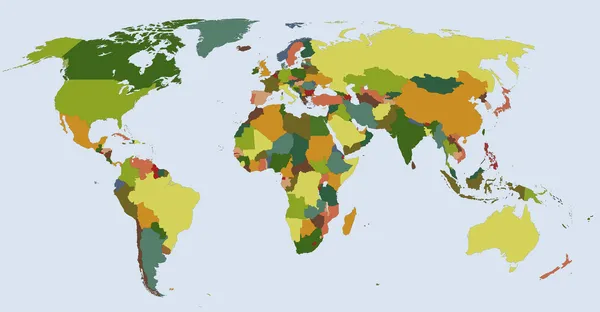
Six Continents, World Map. Africa, America, Antarctica, Asia, Australia And Europe. Outline And Colored Shapes. Robinson Projection. Isolated On White Background. Vector.
Vector, 5.05MB, 10633 × 5394 eps

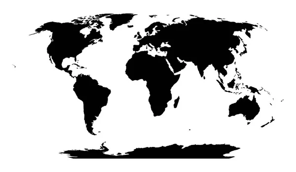
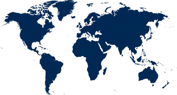
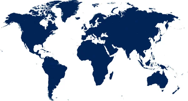
World Map In Robinson Projection. Solid Black Land Silhouette. Vector Illustration
Vector, 0.64MB, 6000 × 3500 eps

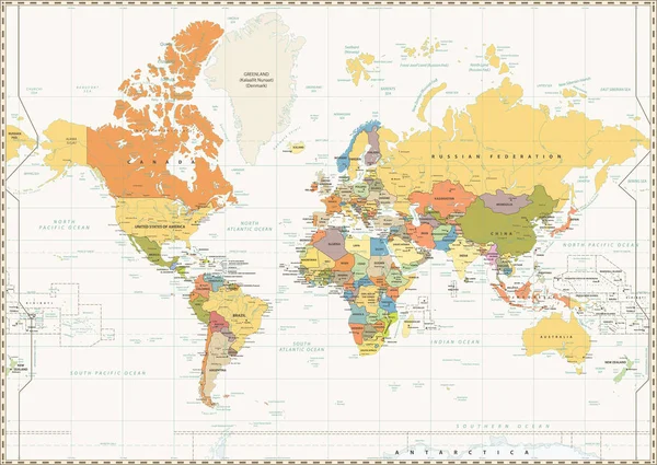
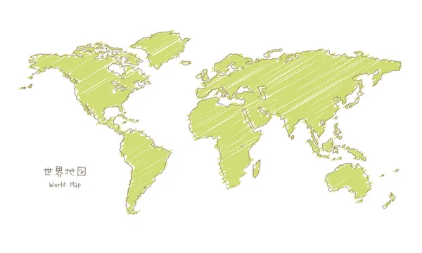
Hand-drawn Sketch World Map, Mercator Projection / Translation Of Japanese "World Map"
Vector, 11.76MB, 5000 × 3000 eps

Hand-drawn Sketch World Map, Mercator Projection / Translation Of Japanese "World Map"
Vector, 1.62MB, 5000 × 3000 eps
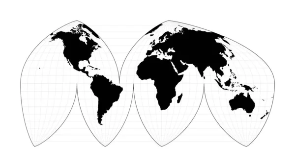
World Map With Meridians Boggs Interrupted Eumorphic Projection Plan World Geographical Map With
Vector, 1.39MB, 7280 × 4146 eps
Page 1 >> Next