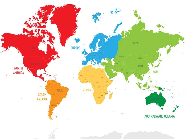
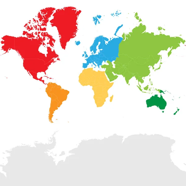
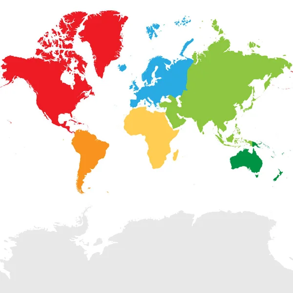
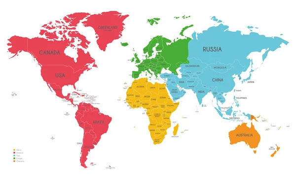
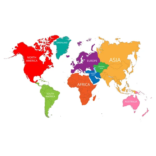
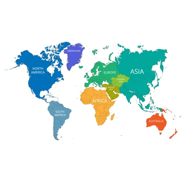
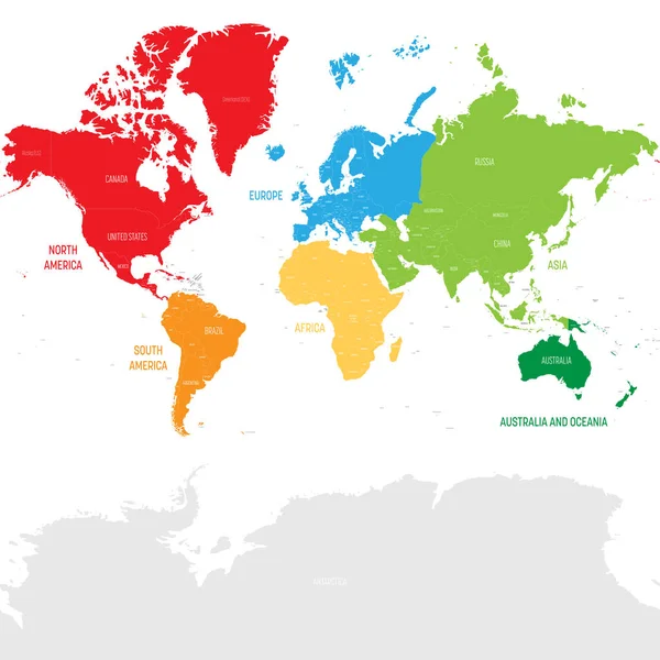
Stock vector Colorful political map World continents.
Published: Mar.23, 2022 07:26:14
Author: pyty
Views: 13
Downloads: 1
File type: vector / eps
File size: 17.16 MB
Orginal size: 8000 x 8000 px
Available sizes:
Level: silver