
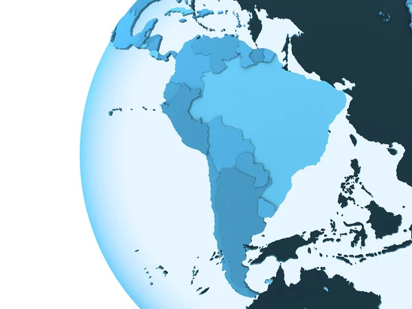
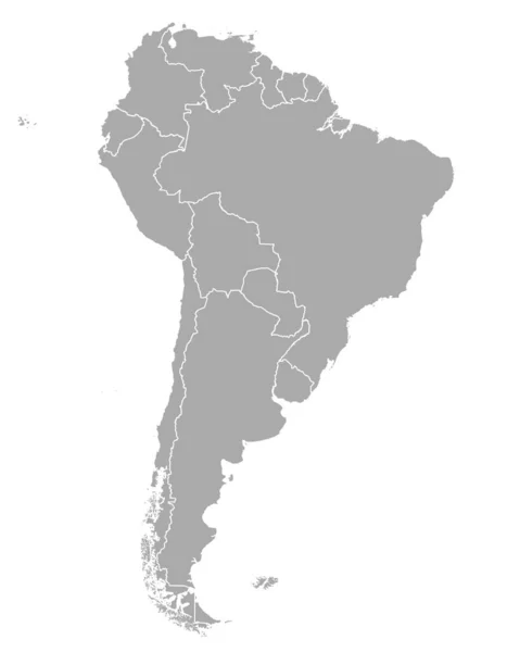
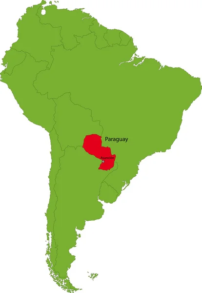
Stock image South America Region


Editable Template Of Map Of Chile With Marks. Chile On World Map And On South America Map.
Vector, 4.24MB, 4800 × 4000 eps


Map Of World Divided Into Regions. Thin Black Outline Map. Simple Flat Vector Illustration
Vector, 3.31MB, 6000 × 4500 eps

Editable Template Of Map Of Barbados With Marks. Barbados On World Map And On South America Map.
Vector, 7.84MB, 4800 × 4000 eps
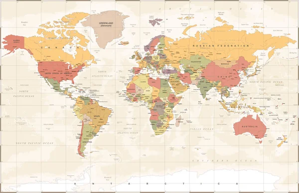

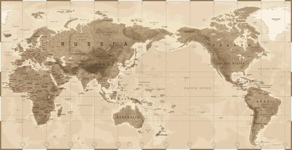
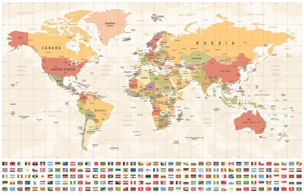
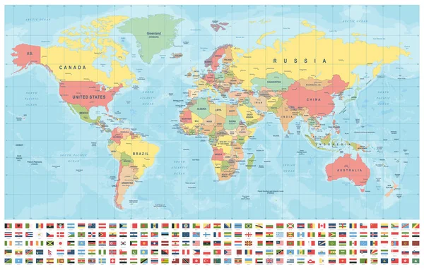
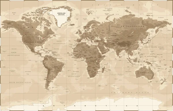
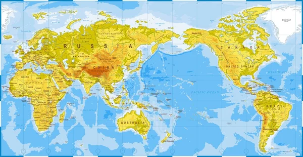
World Map And Flags - Borders, Countries And Cities - Vintage Vector Illustration
Vector, 26.51MB, 5830 × 3734 eps
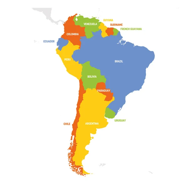
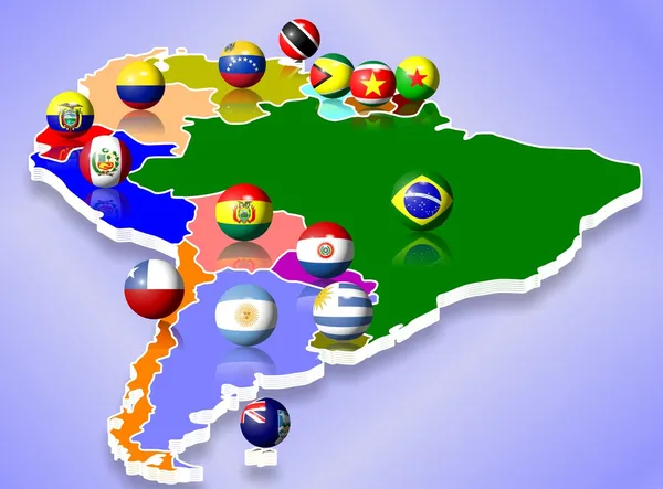
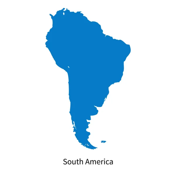
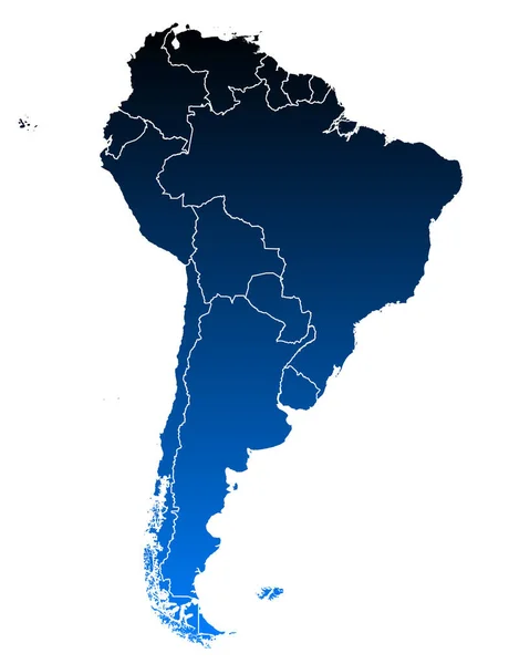
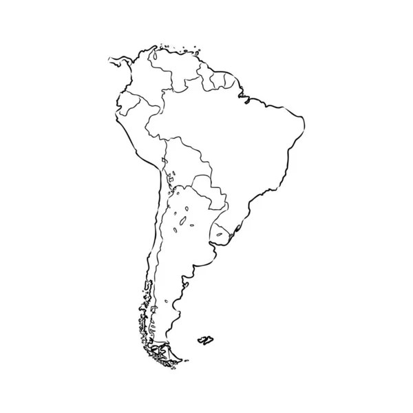
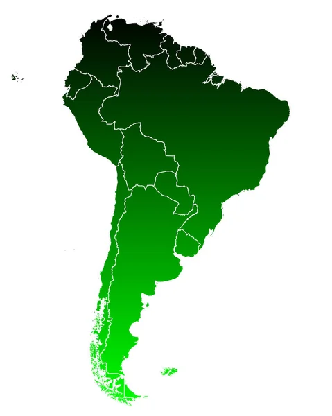
South America Region. Map Of Countries In Southern America. Vector Illustration
Vector, 1.37MB, 6000 × 6000 eps
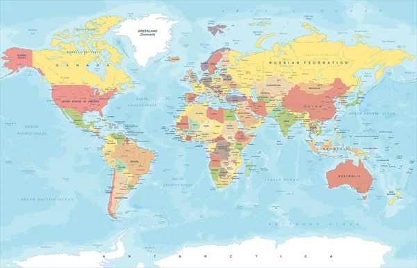
World Map And Flags - Borders, Countries And Cities - Vintage Vector Illustration
Vector, 26.52MB, 5816 × 3752 eps
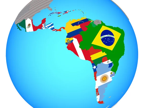
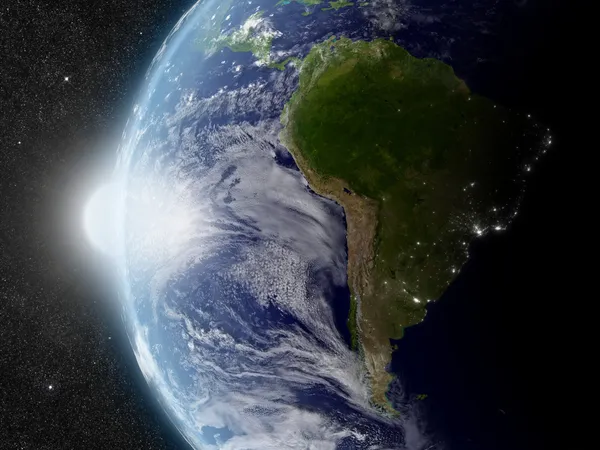
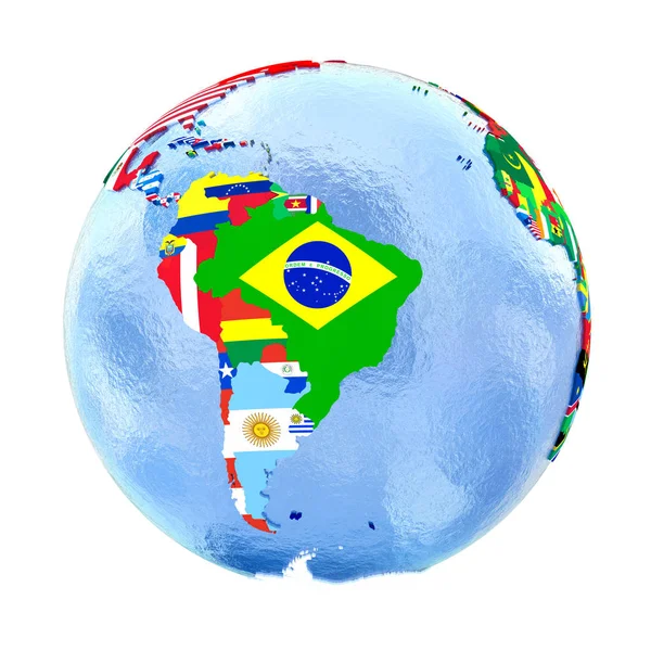
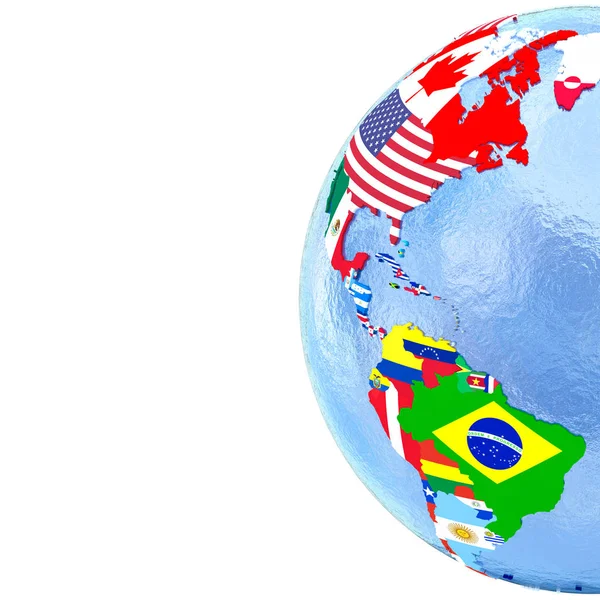
Latin America With National Flags On Blue Political Globe. 3D Illustration.
Image, 2.26MB, 5000 × 3750 jpg

Shape Of Rio Grande Do Sul, State Of Brazil, With Its Capital Isolated On White Background. Bilevel Elevation Map. 3D Rendering
Image, 3.17MB, 3836 × 3698 jpg
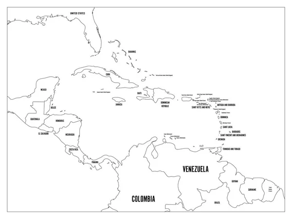
Central America And Carribean States Political Map. Black Outline Borders With Black Country Names Labels. Simple Flat Vector Illustration
Vector, 2.59MB, 8000 × 6000 eps


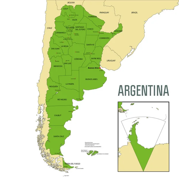
Political Vector Map Of Argentina With All Regions And Their Capitals
Vector, 9.28MB, 7000 × 7000 eps

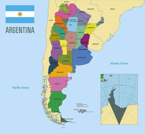
Political Vector Map Of Argentina With All Regions And Their Capitals
Vector, 9.37MB, 7000 × 6465 eps
World Map And Flags - Borders, Countries And Cities - Vintage Vector Illustration
Vector, 26.52MB, 5854 × 3746 eps
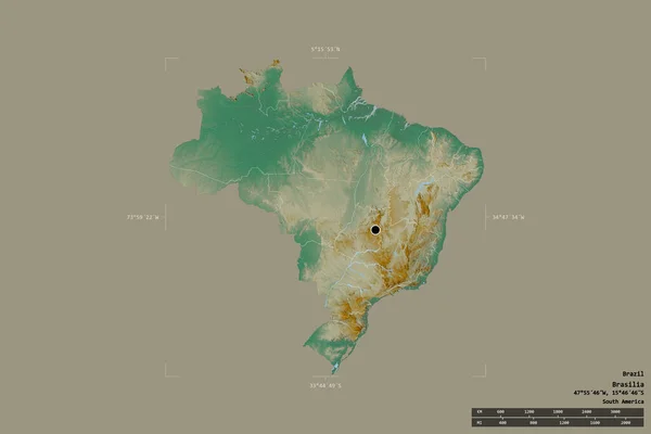
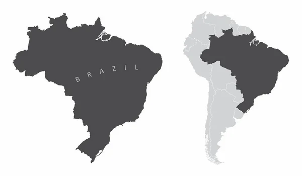
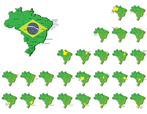
Area Of Brazil Isolated On A Solid Background In A Georeferenced Bounding Box. Main Regional Division, Distance Scale, Labels. Topographic Relief Map. 3D Rendering
Image, 1.6MB, 3000 × 2000 jpg

World Map And Flags - Borders, Countries And Cities - Vintage Vector Illustration
Vector, 18.08MB, 6261 × 4248 eps


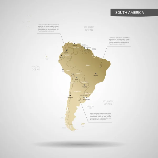
Stylized Vector South America Map. Infographic 3d Gold Map Illustration With Cities, Borders, Capital, Administrative Divisions And Pointer Marks, Shadow; Gradient Background.
Vector, 2.2MB, 3000 × 3000 eps

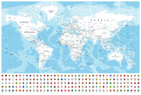
World Map And Flags - Borders, Countries And Cities -vector Illustration
Vector, 20.89MB, 5852 × 3940 eps
Page 1 >> Next