
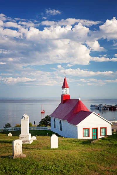
Stock image St Lawrence Estuary


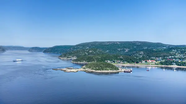
Aerial View Of Tadoussac Bay And Saguenay Fjord Taken By Drone Over The St-Lawrence River. View Of The Baie-Ste-Catherine, Tadoussac Ferry And Pointe-de-L'Islet Trail.
Image, 5.08MB, 3846 × 2163 jpg

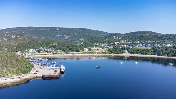
Panoramic View Of Tadoussac, Quebec, Canada. View Of The Marina And The Beach.
Image, 28.11MB, 20821 × 4640 jpg

Aerial View Of Saguenay Fjord Taken By Drone Over The St-Lawrence River. View Of The Baie-Ste-Catherine, Tadoussac Ferry Crossing The Fjord.
Image, 4.18MB, 3737 × 2102 jpg

Aerial View Of Tadoussac Bay And Marina, Taken By Drone Over Pointe-de-L'Islet Trail.
Image, 6.04MB, 3877 × 2181 jpg

Aerial View Of Saguenay Fjord Taken By Drone Over The St-Lawrence River. View Of The Baie-Ste-Catherine, Tadoussac Ferry Crossing The Fjord. Two Boats Crossing At The Same Time.
Image, 5.05MB, 3981 × 2239 jpg
Aerial View Of Tadoussac Bay Taken By Drone Over The St-Lawrence River. View Of Pointe-de-L'Islet Trail.
Image, 5.44MB, 3861 × 2172 jpg

Aerial View Of Tadoussac Bay Taken By Drone Over The St-Lawrence River. View Of Pointe-de-L'Islet Trail.
Image, 5.12MB, 3900 × 2194 jpg
Aerial View Of Tadoussac Bay And Saguenay Fjord Taken By Drone Over The St-Lawrence River. View Of The Baie-Ste-Catherine, Tadoussac Ferry Crossing The Saguenay River And Pointe-de-L'Islet Trail.
Image, 3.93MB, 3883 × 2184 jpg
Page 1 >> Next