photo free
Home Images Vectors Videos

Stock image Statistical Region

stock image Podravska, statistical region of Slovenia. Satellite imagery. Shape outlined against its country area. 3D rendering

Podravska, Statistical Region Of Slovenia. Satellite Imagery. Shape Outlined Against Its Country Area. 3D Rendering

Image, 7.82MB, 2880 × 1620 jpg
stock image Brazil Map, States and Regions. 3D Brazilian map intro background. 3D Rendering.

Brazil Map, States And Regions. 3D Brazilian Map Intro Background. 3D Rendering.

Image, 6.93MB, 7840 × 4158 jpg
stock image Harbor and town view, Izola, Adriatic coast, Slovenian Littoral, Istria, Slovenia, Europe

Harbor And Town View, Izola, Adriatic Coast, Slovenian Littoral, Istria, Slovenia, Europe

Image, 1.11MB, 5912 × 2956 jpg
stock vector Regions of Japan, multi colored political map. The eight traditional units used for statistical and other purposes. Hokkaido, Tohoku, Kanto, Chubu, Kansai, Chugoku, Shikoku, and Kyushu with Okinawa.

Regions Of Japan, Multi Colored Political Map. The Eight Traditional Units Used For Statistical And Other Purposes. Hokkaido, Tohoku, Kanto, Chubu, Kansai, Chugoku, Shikoku, And Kyushu With Okinawa.

Vector, 3.79MB, 6000 × 6000 eps
stock vector Germany map shape vector infographics template. Modern city region data statistic illustration concep

Germany Map Shape Vector Infographics Template. Modern City Region Data Statistic Illustration Concep

Vector, 3.81MB, 2846 × 2218 eps
stock vector Map of Serbia

Map Of Serbia

Vector, 8.73MB, 5580 × 7021 eps
stock image Reviewing data financial diagrams and graphs in office. Finance analysis background. Planner and Agenda Concept.

Reviewing Data Financial Diagrams And Graphs In Office. Finance Analysis Background. Planner And Agenda Concept.

Image, 15.61MB, 6000 × 4000 jpg
stock vector Map of Slovenia

Map Of Slovenia

Vector, 9.41MB, 7021 × 4421 eps
stock vector Detailed vector map of regions of Croatia with flag

Detailed Vector Map Of Regions Of Croatia With Flag

Vector, 11.44MB, 7677 × 6333 eps
stock vector Western Asia, geoscheme and political map. Subregion of Asia, used for statistical purposes, covering geographical regions spanning from Anatolia, Caucasus, Levant, Mesopotamia till Arabian Peninsula.

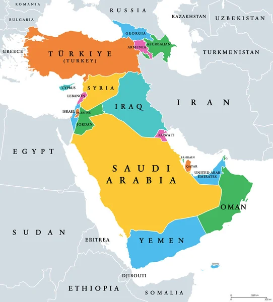
Western Asia, Geoscheme And Political Map. Subregion Of Asia, Used For Statistical Purposes, Covering Geographical Regions Spanning From Anatolia, Caucasus, Levant, Mesopotamia Till Arabian Peninsula.

Vector, 2.94MB, 6000 × 6632 eps
stock vector Statistical regions of North Macedonia. Map of regional country administrative divisions. Colorful vector illustration

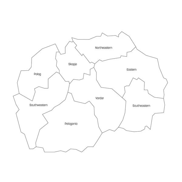
Statistical Regions Of North Macedonia. Map Of Regional Country Administrative Divisions. Colorful Vector Illustration

Vector, 0.98MB, 6000 × 6000 eps
stock vector The Americas, geoscheme and political map. The North American subregion with intermediate regions Caribbean, Northern and Central America, and the subregion South America. Subdivisions for statistics.

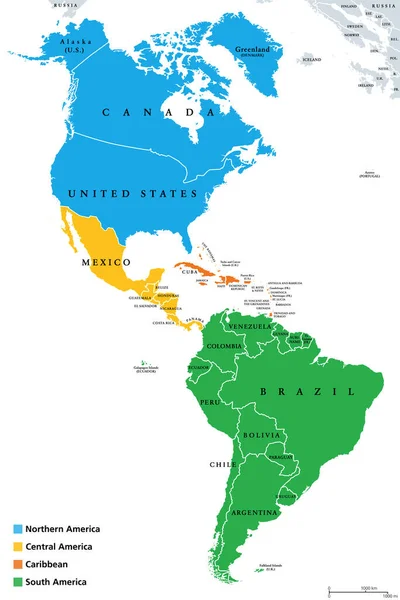
The Americas, Geoscheme And Political Map. The North American Subregion With Intermediate Regions Caribbean, Northern And Central America, And The Subregion South America. Subdivisions For Statistics.

Vector, 3.3MB, 6000 × 8997 eps
Page 1 >> Next