
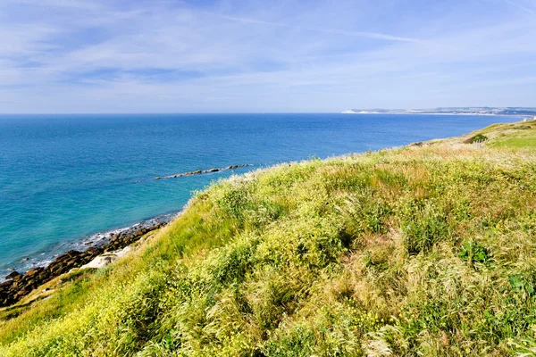
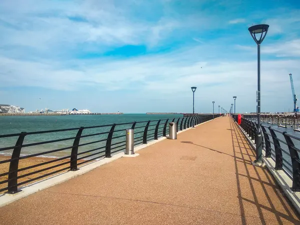
Stock image Strait Of Dover

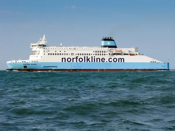
Woman Backpacker Crossing English Channel By Ferry From Dover To Calais
Image, 11.24MB, 5472 × 3648 jpg


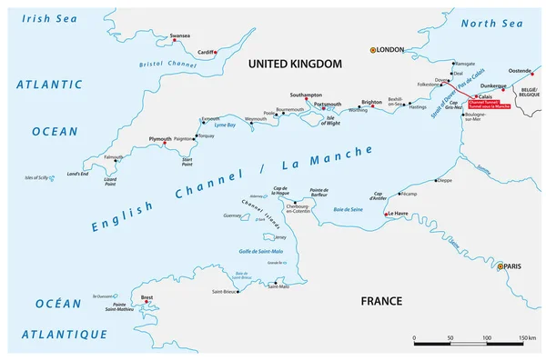
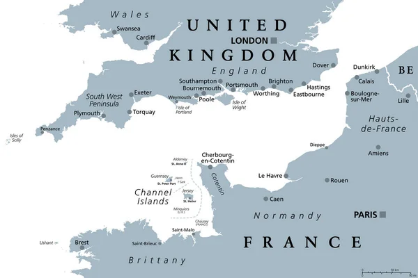
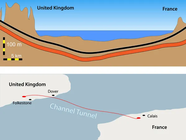
English Channel, Gray Political Map. British Channel, Arm Of Atlantic Ocean, Separates Southern England From Northern France, Link To North Sea By Strait Of Dover. Busiest Shipping Area In The World.
Vector, 2.57MB, 9000 × 6000 eps

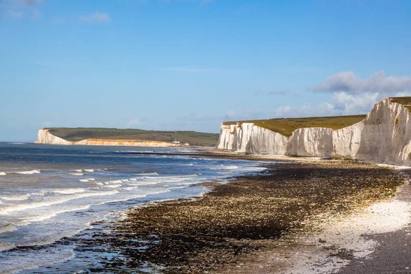
Large Ships Sailing Near The Coast Of France At The Strait Of Dover (Cap Blanc Nez, Pas De Calais) During Sunset. Picturesque Panoramic View. Epic Cloudscape. Travel Destinations, Tourism, Cruise
Image, 5.2MB, 5931 × 2138 jpg
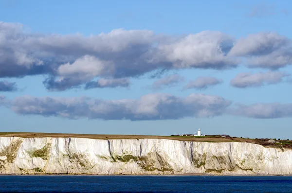
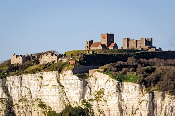
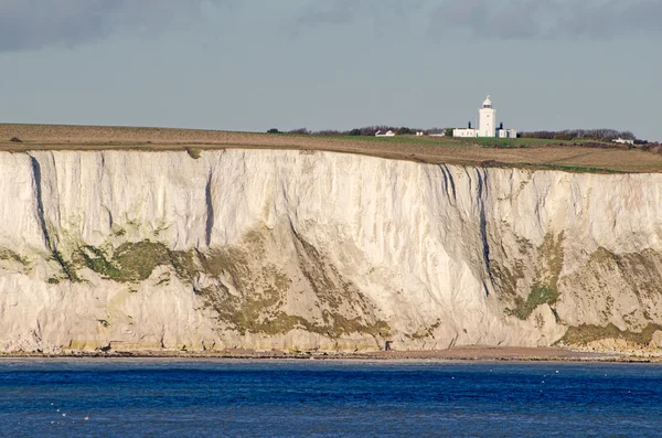
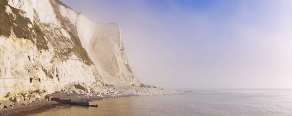
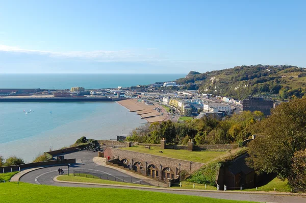
The White Cliffs Of Dover, Part Of The North Downs Formation, Is The Region Of English Coastline Facing The Strait Of Dover And France. The Cliff Face, Which Reaches A Height Of 350 Feet, Owes Its Striking Appearance To Its Composition Of Chalk Accen
Image, 14.85MB, 5616 × 3744 jpg
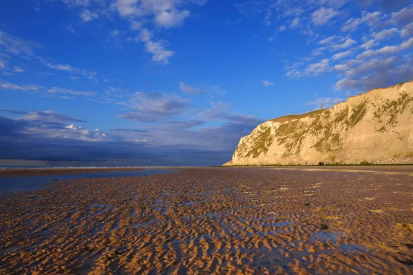

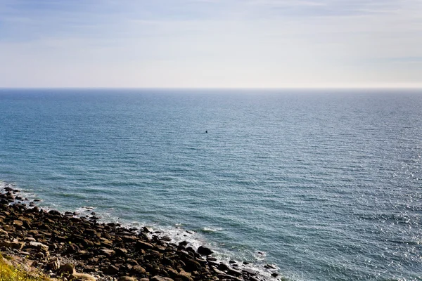
Panoramic View From The Coast Of France At The Strait Of Dover (Cap Blanc Nez, Pas De Calais) During Sunset. Picturesque Panoramic View. Epic Cloudscape. Travel Destinations, Tourism, Nature
Image, 8.77MB, 5860 × 3910 jpg

Panoramic View From The Coast Of France At The Strait Of Dover (Cap Blanc Nez, Pas De Calais) During Sunset. Picturesque Panoramic View. Epic Cloudscape. Travel Destinations, Tourism, Nature
Image, 4.59MB, 4951 × 3304 jpg

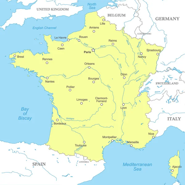
Northern France, Touristic Names Of Beaches And Coastlines, Political Map. Coastline Of France And United Kingdom Along The English Channel, And Along A Part Of Bay Of Biscay, With Channel Islands.
Vector, 3.31MB, 8054 × 6000 eps

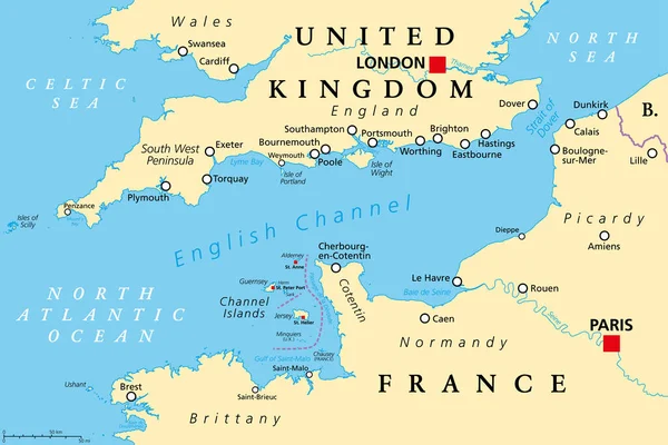
English Channel Political Map. Also British Channel. Arm Of Atlantic Ocean Separates Southern England From Northern France And Link To North Sea By Strait Of Dover. Busiest Shipping Area In The World.
Vector, 3.88MB, 9000 × 6000 eps
Page 1 >> Next