photo free
Home Images Vectors Videos

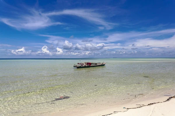
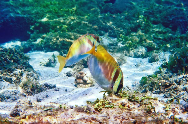
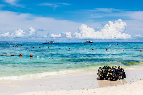
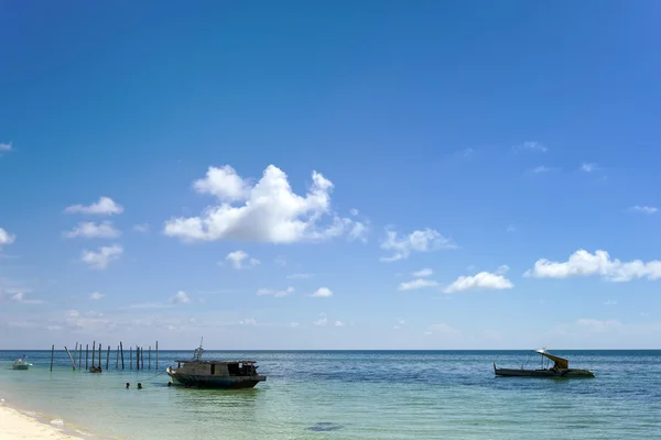
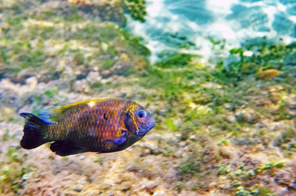
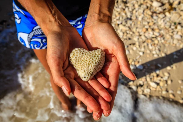
Stock image Sulu Sea

stock image Sailing boat on the sea, Boracay Island, Philippines

Sailing Boat On The Sea, Boracay Island, Philippines

Image, 16.24MB, 8533 × 5693 jpg
stock image Sunrise above Sulu sea at Borneo

Sunrise Above Sulu Sea At Borneo

Image, 7.8MB, 5196 × 3464 jpg
stock image View of Diniwid beach, Boracay Island, Philippines

View Of Diniwid Beach, Boracay Island, Philippines

Image, 29.56MB, 8500 × 5667 jpg
stock image The underwater world of the Sulu Sea

The Underwater World Of The Sulu Sea

Image, 12.75MB, 4928 × 3264 jpg
stock image The underwater world of the Sulu Sea

The Underwater World Of The Sulu Sea

Image, 4.1MB, 3315 × 2196 jpg
stock image sea gypsy boat house

Sea Gypsy Boat House

Image, 5.07MB, 3600 × 2400 jpg
stock image Shells on a deck of an old wooden boat, Boracay Island, Philippines

Shells On A Deck Of An Old Wooden Boat, Boracay Island, Philippines

Image, 18.9MB, 8688 × 5792 jpg
stock image The underwater world of the Sulu Sea

The Underwater World Of The Sulu Sea

Image, 8.4MB, 4841 × 3207 jpg
stock image Scuba diving gear on White Beach, Boracay Island, Philippines

Scuba Diving Gear On White Beach, Boracay Island, Philippines

Image, 14.77MB, 6536 × 4358 jpg
stock image Bamboo sun lounges at Ilig Iligan Beach, Boracay Island, Philippines

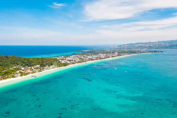
Bamboo Sun Lounges At Ilig Iligan Beach, Boracay Island, Philippines

Image, 23.91MB, 8120 × 5413 jpg
stock image sea gypsy boat house

Sea Gypsy Boat House

Image, 3.2MB, 3600 × 2400 jpg
stock image Sand castle and a boat on White Beach, Boracay Island, Philippines

Sand Castle And A Boat On White Beach, Boracay Island, Philippines

Image, 18.13MB, 8688 × 5792 jpg
stock image Lady on rocks on the coast, Boracay Island, Philippines

Lady On Rocks On The Coast, Boracay Island, Philippines

Image, 25.72MB, 8218 × 5488 jpg
stock image The underwater world of the Sulu Sea

The Underwater World Of The Sulu Sea

Image, 7.53MB, 4928 × 3264 jpg
stock image Hotels on Diniwid Point, Boracay Island, Philippines

Hotels On Diniwid Point, Boracay Island, Philippines

Image, 18.25MB, 8688 × 5792 jpg
stock image Sulu Sea, view of the island of Boracay, Philippines.

Sulu Sea, View Of The Island Of Boracay, Philippines.

Image, 12MB, 5454 × 3068 jpg
stock image Heart shaped coral in hands, Boracay Island, Philippines

Heart Shaped Coral In Hands, Boracay Island, Philippines

Image, 25.59MB, 8688 × 5792 jpg
stock image White beach on the island of Boracay, Philippines, top view.

White Beach On The Island Of Boracay, Philippines, Top View.

Image, 11.52MB, 5399 × 3597 jpg
stock image Jawfish

Jawfish

Image, 6.62MB, 3524 × 2380 jpg
stock image Colorful shells on a net, Boracay Island, Philippines

Colorful Shells On A Net, Boracay Island, Philippines

Image, 18.56MB, 8688 × 5792 jpg
stock image White beach on the island of Boracay, Philippines, top view.

White Beach On The Island Of Boracay, Philippines, Top View.

Image, 13.93MB, 5338 × 3556 jpg
stock image Lady in a Mermaid tail on a beach, Boracay Island, Philippines

Lady In A Mermaid Tail On A Beach, Boracay Island, Philippines

Image, 26.54MB, 8332 × 5555 jpg
stock image Lady in a Mermaid tail on a beach, Boracay Island, Philippines

Lady In A Mermaid Tail On A Beach, Boracay Island, Philippines

Image, 26.54MB, 8332 × 5555 jpg
stock image Foot tracks on sand, Diniwid Beach, Boracay Island, Philippines

Foot Tracks On Sand, Diniwid Beach, Boracay Island, Philippines

Image, 24.24MB, 5792 × 8688 jpg
stock image Turtle hatchery on Selingan Island off Sandakan on the east coast of Sabah Borneo where eggs are incubated in the warm sand

Turtle Hatchery On Selingan Island Off Sandakan On The East Coast Of Sabah Borneo Where Eggs Are Incubated In The Warm Sand

Image, 11.03MB, 3872 × 2592 jpg
stock image Blue-pink motor-tricycle taxi in Puerto Princesa, Palawan, Phili

Blue-pink Motor-tricycle Taxi In Puerto Princesa, Palawan, Phili

Image, 24.22MB, 7952 × 5304 jpg
stock vector Road map of the second largest Philippine island Mindanao

Road Map Of The Second Largest Philippine Island Mindanao

Vector, 1.43MB, 3427 × 3100 eps
stock image Merchant boots near Plaza Quartel, Puerto Princesa, Palawan, Phi

Merchant Boots Near Plaza Quartel, Puerto Princesa, Palawan, Phi

Image, 22.78MB, 6687 × 4396 jpg
stock image Orangutans move deftly through the trees (Indonesia)

Orangutans Move Deftly Through The Trees (Indonesia)

Image, 9.3MB, 4373 × 3280 jpg
stock image Simple gray motor-tricycle taxi in Puerto Princesa, Palawan, Phi

Simple Gray Motor-tricycle Taxi In Puerto Princesa, Palawan, Phi

Image, 24.2MB, 7952 × 5304 jpg
stock image Entrance of Palawan Heritage Center in Puerto Princesa, Palawan,

Entrance Of Palawan Heritage Center In Puerto Princesa, Palawan,

Image, 12.59MB, 4848 × 3820 jpg
stock image Two orangutan hanging between two trees (Borneo / Kalimantan)

Two Orangutan Hanging Between Two Trees (Borneo / Kalimantan)

Image, 4.15MB, 2408 × 3211 jpg
stock image Private people transport in Puerto Princesa, Palawan, Philippine

Private People Transport In Puerto Princesa, Palawan, Philippine

Image, 14.98MB, 6330 × 4544 jpg
stock vector Malaysia Political Map

Malaysia Political Map

Vector, 1.9MB, 9000 × 3978 eps
stock vector Malaysia And Indonesia Political Map

Malaysia And Indonesia Political Map

Vector, 5.26MB, 9000 × 3755 eps
stock image Pulau Banggi in the Sulu Sea, belonging to Malaysia, isolated on a bilevel elevation map, with distance scale

Pulau Banggi In The Sulu Sea, Belonging To Malaysia, Isolated On A Bilevel Elevation Map, With Distance Scale

Image, 0.65MB, 2160 × 2160 jpg
stock image Volcano Island in the Sulu Sea - belonging to Philippines. Described location diagram with yellow shape of the island and sample maps of its surroundings

Volcano Island In The Sulu Sea - Belonging To Philippines. Described Location Diagram With Yellow Shape Of The Island And Sample Maps Of Its Surroundings

Image, 2.38MB, 3840 × 2160 jpg
stock image Pulau Timbang in the Sulu Sea - belonging to Malaysia. Described location diagram with yellow shape of the island and sample maps of its surroundings

Pulau Timbang In The Sulu Sea - Belonging To Malaysia. Described Location Diagram With Yellow Shape Of The Island And Sample Maps Of Its Surroundings

Image, 2.66MB, 3840 × 2160 jpg
stock image Panay Island in the Sulu Sea, belonging to Philippines, isolated on a satellite image taken in April 8, 2014, with distance scale

Panay Island In The Sulu Sea, Belonging To Philippines, Isolated On A Satellite Image Taken In April 8, 2014, With Distance Scale

Image, 1.66MB, 2160 × 2160 jpg
stock image Semirara Island in the Sulu Sea, belonging to Philippines, isolated on a satellite image taken in January 28, 2020, with distance scale

Semirara Island In The Sulu Sea, Belonging To Philippines, Isolated On A Satellite Image Taken In January 28, 2020, With Distance Scale

Image, 1.18MB, 2160 × 2160 jpg
stock image Linapacan Island in the Sulu Sea on a topographic, OSM Humanitarian style map

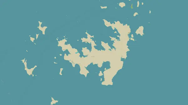
Linapacan Island In The Sulu Sea On A Topographic, OSM Humanitarian Style Map

Image, 0.58MB, 2880 × 1620 jpg
stock image Sibay Island in the Sulu Sea - belonging to Philippines. Described location diagram with yellow shape of the island and sample maps of its surroundings

Sibay Island In The Sulu Sea - Belonging To Philippines. Described Location Diagram With Yellow Shape Of The Island And Sample Maps Of Its Surroundings

Image, 1.82MB, 3840 × 2160 jpg
stock image Palawan Island in the Sulu Sea on a colored elevation map

Palawan Island In The Sulu Sea On A Colored Elevation Map

Image, 2.56MB, 2880 × 1620 jpg
stock image Batas Island in the Sulu Sea on a topographic, OSM Humanitarian style map

Batas Island In The Sulu Sea On A Topographic, OSM Humanitarian Style Map

Image, 0.71MB, 2880 × 1620 jpg
stock image Dumaran Island in the Sulu Sea, belonging to Philippines, isolated on a bilevel elevation map, with distance scale

Dumaran Island In The Sulu Sea, Belonging To Philippines, Isolated On A Bilevel Elevation Map, With Distance Scale

Image, 0.57MB, 2160 × 2160 jpg
stock image Bugsuk Island in the Sulu Sea, belonging to Philippines, isolated on a bilevel elevation map, with distance scale

Bugsuk Island In The Sulu Sea, Belonging To Philippines, Isolated On A Bilevel Elevation Map, With Distance Scale

Image, 0.39MB, 2160 × 2160 jpg
stock image Calauit Island in the Sulu Sea, belonging to Philippines, isolated on a satellite image taken in December 28, 2023, with distance scale

Calauit Island In The Sulu Sea, Belonging To Philippines, Isolated On A Satellite Image Taken In December 28, 2023, With Distance Scale

Image, 1.56MB, 2160 × 2160 jpg
stock image Cagayan Sulu Island in the Sulu Sea, belonging to Philippines, isolated on a satellite image taken in December 29, 2018, with distance scale

Cagayan Sulu Island In The Sulu Sea, Belonging To Philippines, Isolated On A Satellite Image Taken In December 29, 2018, With Distance Scale

Image, 1.58MB, 2160 × 2160 jpg
stock image Coron Island in the Sulu Sea, belonging to Philippines, isolated on a satellite image taken in December 28, 2023, with distance scale

Coron Island In The Sulu Sea, Belonging To Philippines, Isolated On A Satellite Image Taken In December 28, 2023, With Distance Scale

Image, 0.91MB, 2160 × 2160 jpg
stock image Pulau Jambongan in the Sulu Sea, belonging to Malaysia, isolated on a topographic, OSM Humanitarian style map, with distance scale

Pulau Jambongan In The Sulu Sea, Belonging To Malaysia, Isolated On A Topographic, OSM Humanitarian Style Map, With Distance Scale

Image, 0.5MB, 2160 × 2160 jpg
Page 1 >> Next