
Stock image Tarheel State

Close-up View Of The North Carolina State Flag Waving. North Carolina Is A State In The Southeastern Region Of The United States. Fabric Textured Background. Selective Focus. 3D Illustration
Image, 4.79MB, 4096 × 2160 jpg
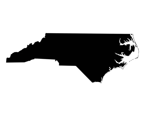
North Carolina US Map. NC USA State Map. Black And White North Carolinian State Border Boundary Line Outline Geography Territory Shape Vector Illustration EPS Clipart
Vector, 5.8MB, 5000 × 4000 eps


North Carolina Counties, Gray Political Map With Borders And County Names. State In The Southeastern Region Of United States Subdivided Into 100 Counties. Nicknamed Tar Heel State And Old North State.
Vector, 2.27MB, 9000 × 3935 eps


North Carolina Counties, Political Map With Borders County Names. State In The Southeastern Region Of United States, Subdivided Into 100 Counties. Nicknamed The Tar Heel State And The Old North State.
Vector, 3.61MB, 9000 × 5155 eps
Page 1 >> Next