Home
Images
Vectors
Videos
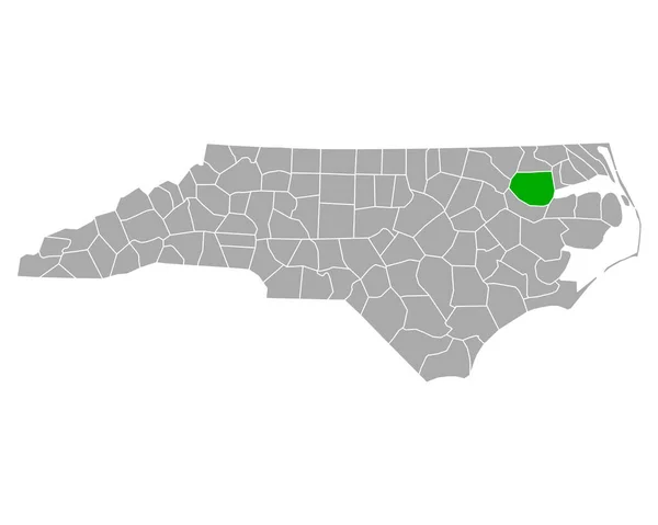
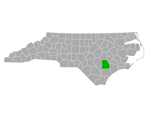
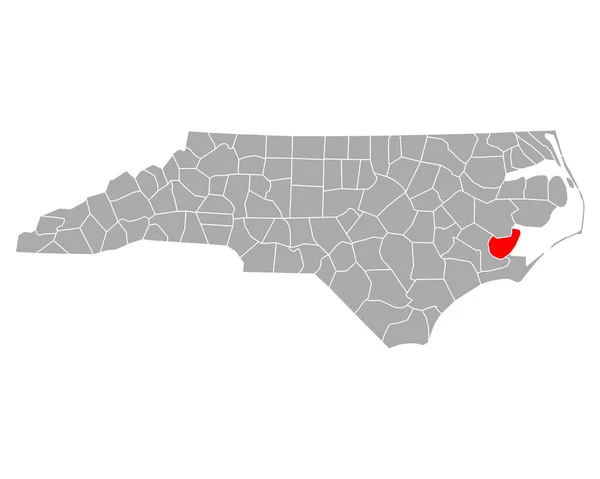
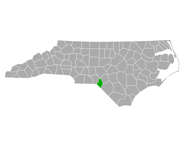
Stock vector North Carolina counties, political map with borders county names. State in the Southeastern region of United States, subdivided into 100 counties. Nicknamed The Tar Heel State and The Old North State.
Published:
Jul.24, 2024 11:38:36
Author:
Furian
Views:
0
Downloads:
0
File type:
vector
/
eps
File size:
3.61 MB
Orginal size:
9000
x
5155
px
Available sizes:
S
(500 x 286)
M
(1000 x 573)
L
(2000 x 1146)
XL
(9000 x 5155)
VECT
(9000 x 5155)
EL0
(9000 x 5155)
Level:
silver
Download Vector
Vector topics:
Vector
Illustration
Travel
Border
Structure
Us
Usa
Coast
Coastline
North
South
Name
Country
Map
Cartography
Geography
Land
Overview
State
America
Boundary
Administrative
Atlantic
Destination
United
States
Region
Division
Wake
Federal
Atlas
Southeast
Americas
Nation
Subdivision
County
Mapping
Carolina
Southeastern
Nc
Counties
Infographic
North Carolina
United States
Subdivided
Political Map
Tarheel
Swing State
Tar Heel
Old North
Similar stock vectors
Map Of Halifax In North Carolina
5000 × 4000
Map Of Bladen In North Carolina
5000 × 4000
Map Of Edgecombe In North Carolina
5000 × 4000
Map Of Bertie In North Carolina
5000 × 4000
High Detailed South Carolina Road Map With Labeling.
4081 × 3510
Map Of Duplin In North Carolina
5000 × 4000
Map Of Pamlico In North Carolina
5000 × 4000
Map Of Scotland In North Carolina
5000 × 4000