
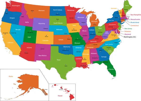
Stock image The United States Streets

A Young Woman In A Black Dress Dances On The Streets Of New York City.
Image, 14.71MB, 4480 × 6720 jpg


A Young Woman Dances On A Bridge In New York City, The Cityscape In The Background.
Image, 16.66MB, 6720 × 4480 jpg


A Handsome Blonde Man In Stylish Attire Walks The Streets Of Orlando, Florida.
Image, 12.68MB, 4480 × 6720 jpg

Philadelphia Map. Detailed Vector Map Of Philadelphia City Administrative Area. Poster With Streets And Water On Grey Background.
Vector, 17.68MB, 4057 × 4132 eps

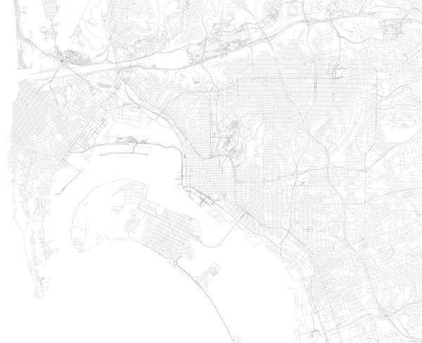
Seattle, United States City Visualization Illustrative Concept On Display Screen Through Magnifying Glass
Image, 3.41MB, 3000 × 2000 jpg


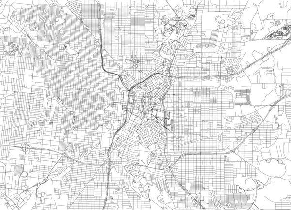
Streets Of San Antonio, City Map, Texas. Roads And Urban Area. United States Of America. The City Is The Second Most Populous In Texas
Vector, 4.63MB, 6659 × 4822 eps


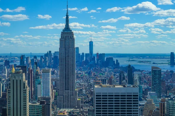
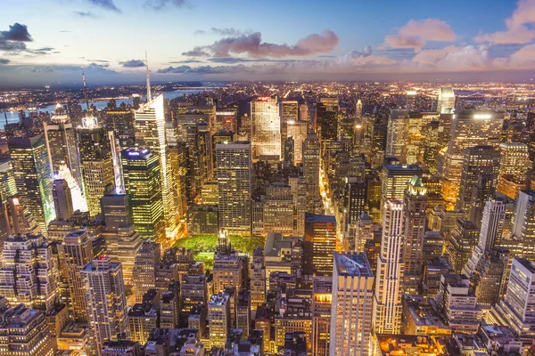
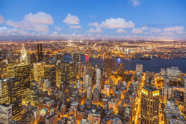
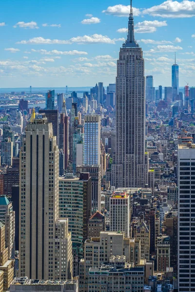
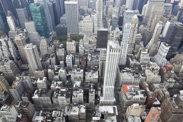
View From Rockefeller Center (Top Of The Rock) Empire State Building
Image, 17.35MB, 4000 × 6000 jpg

New York Map. Detailed Vector Map Of New York City Administrative Area. Cityscape Poster Metropolitan Aria View. Dark Land With White Streets, Roads And Avenues. White Background.
Vector, 39.08MB, 8425 × 8425 eps


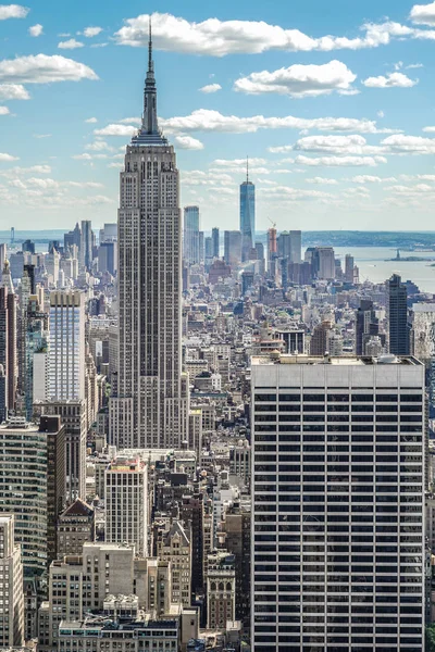
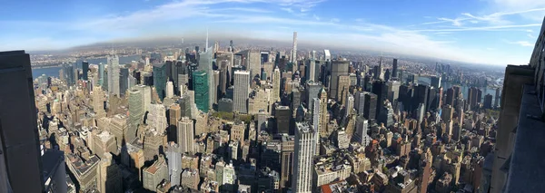
Empire State Building (taken From The Rockefeller Center Observation Deck)
Image, 13.36MB, 4000 × 6000 jpg

Empire State Building (taken From The Rockefeller Center Observation Deck)
Image, 13.01MB, 6000 × 4000 jpg

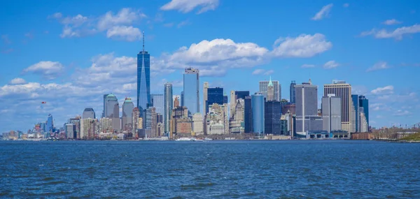
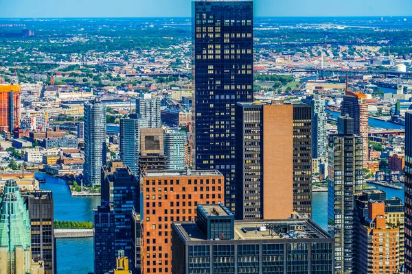
Wonderful New York Skyline Of Downton Manhattan On A Sunny Day- MANHATTAN - NEW YORK - APRIL 1, 2017
Image, 5.72MB, 5853 × 2785 jpg


Omaha Map. Detailed Vector Map Of Omaha City Administrative Area. Cityscape Poster Metropolitan Aria View. Dark Land With White Streets, Roads And Avenues. White Background.
Vector, 22.11MB, 10450 × 7682 eps


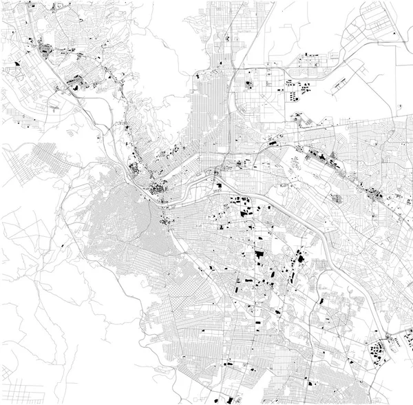
El Paso Map, Ciudad Juarez, Satellite View, Black And White Map. Street Directory And City Map. Texas. United States
Vector, 7.96MB, 6048 × 5930 eps


Page 1 >> Next