
Stock image Tocantins
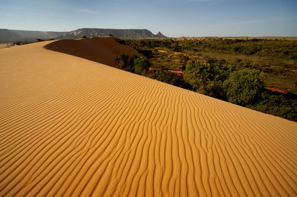
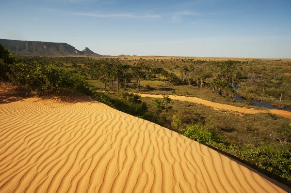
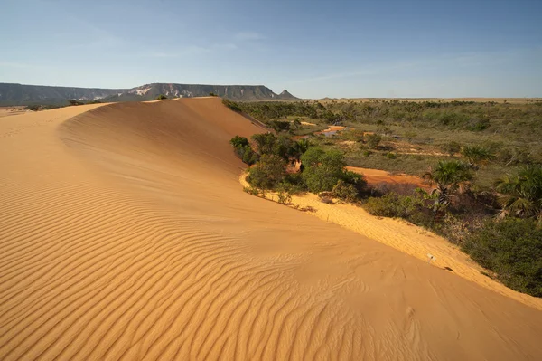
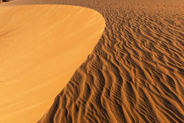
A Mesmerizing Sunrise View Of Natural Monument Jalapao Dunes In The Jalapao Desert, Tocantins, Brazil
Image, 5.37MB, 4288 × 2848 jpg
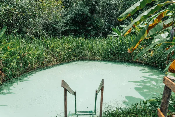
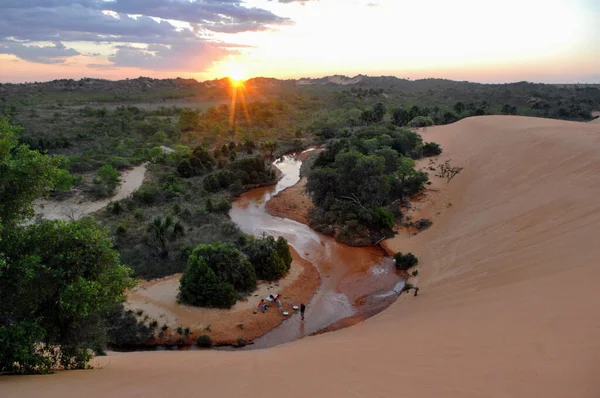
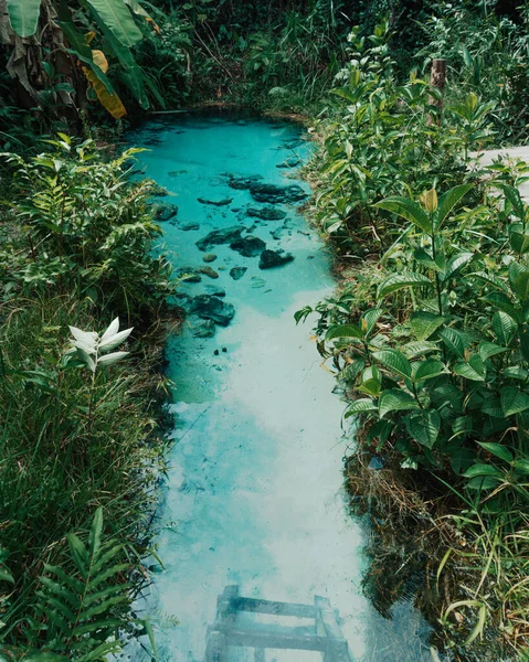
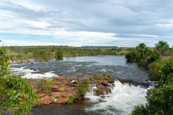
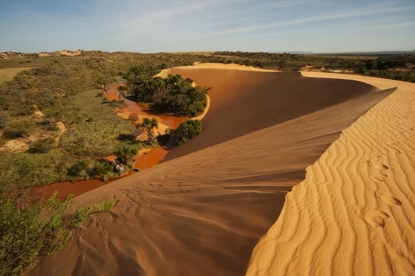
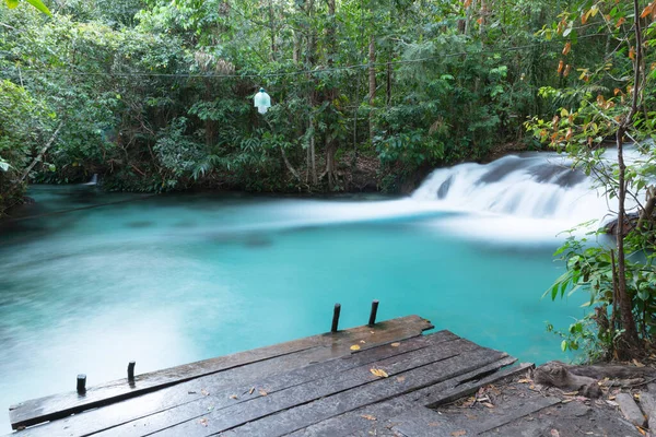
Fervedouro Bela Vista Is One Of The Crystalline Water Springs That Sprout From The Sand Where Tourists Can Swim In The Region Of Jalapao, Tocantins
Image, 9.5MB, 6000 × 4000 jpg
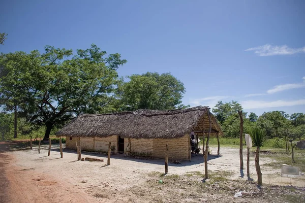
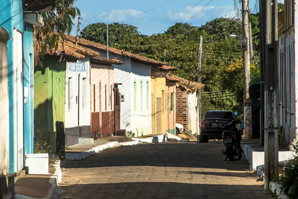
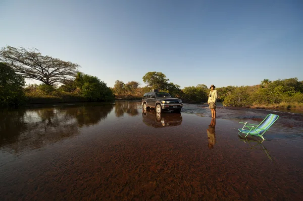
Brazilian Rural Houses At Jalapo Desert At Tocantins State, Travel Concept
Image, 7.2MB, 3504 × 2336 jpg
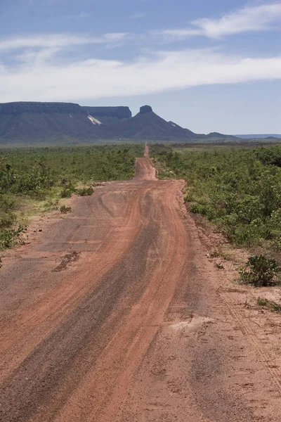
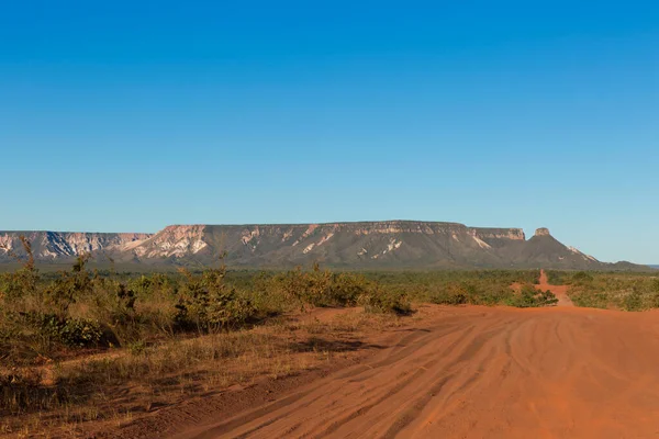
Jalapao State Park - Holed Stone In Tocantins Brazil, Near Ponte Alta Do Tocantins.
Image, 16.28MB, 5760 × 3840 jpg
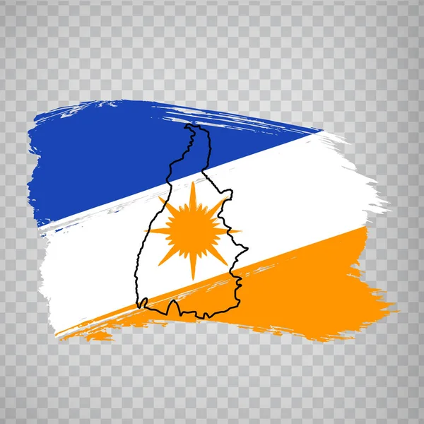
Flag Of Tocantins From Brush Strokes. Blank Map Of Tocantins. Federal Republic Of Brazil. High Quality Map Of Tocantins And Flag On Transparent Background. Stock Vector. EPS10.
Vector, 7.98MB, 5000 × 5000 eps

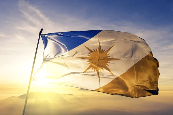
Tocantins State Of Brazil Flag Textile Cloth Fabric Waving On The Top Sunrise Mist Fog
Image, 2.55MB, 3660 × 2440 jpg

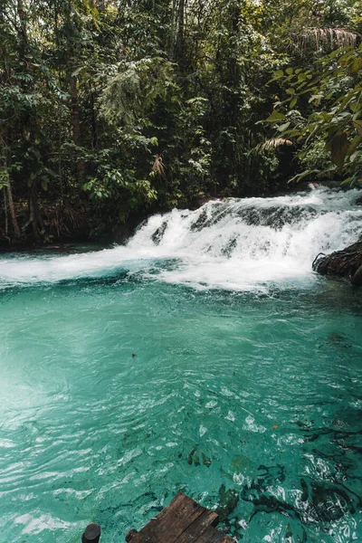
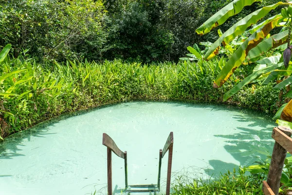
Fervedouro Bela Vista Is One Of The Crystalline Water Springs That Sprout From The Sand Where Tourists Can Swim In The Region Of Jalapao, Tocantins
Image, 7.39MB, 3861 × 4826 jpg
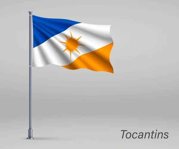
Waving Flag Of Tocantins - State Of Brazil On Flagpole. Template For Independence Day Poster
Vector, 3.7MB, 4800 × 4000 eps

Porto Nacional, Tocantins, Brazil, June 21, 2011. Colonial Houses On Street In Center Of Porto Nacional. National Harbor Is A Municipality In The Brazilian State Of Tocantins.
Image, 7.73MB, 3888 × 2592 jpg


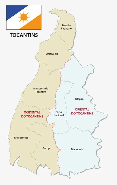

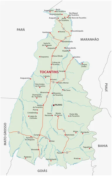


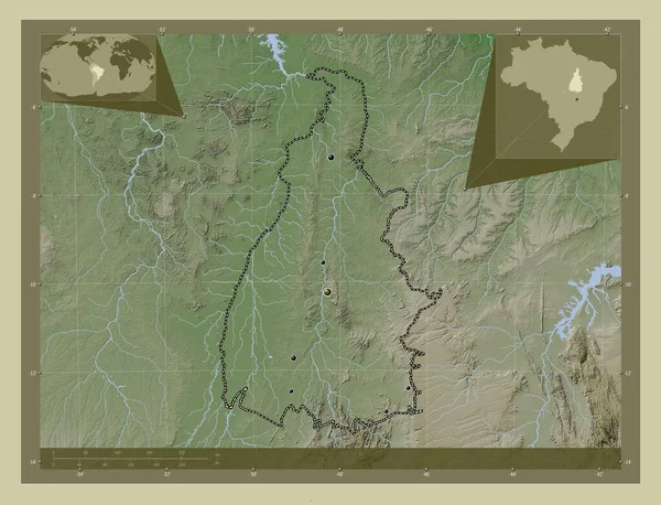
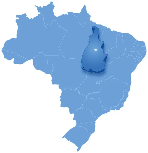
Tocantins, State Of Brazil. Elevation Map Colored In Wiki Style With Lakes And Rivers. Locations Of Major Cities Of The Region. Corner Auxiliary Location Maps
Image, 10.37MB, 4930 × 3770 jpg


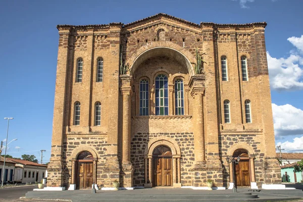
Porto Nacional, Tocantins, Brazil, June 21, 2011. Cathedral Of Our Lady Of Mercy, National Harbor. National Harbor Is A Municipality In The Brazilian State Of Tocantins.
Image, 7.55MB, 3888 × 2592 jpg
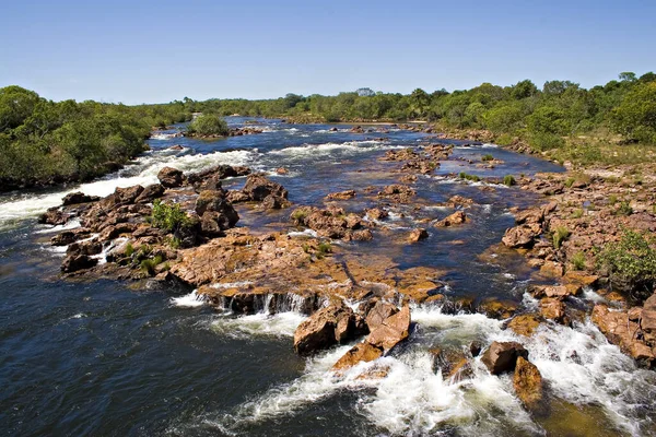
Jalapao State Park In Tocantins Brazil - Cachoeira Da Formiga, Near Mateiros City.
Image, 14.21MB, 5760 × 3840 jpg
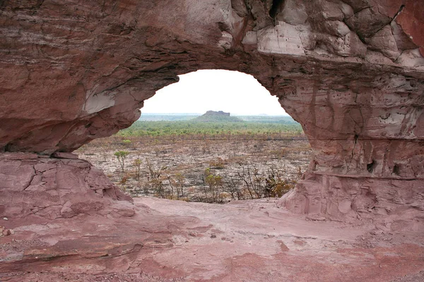
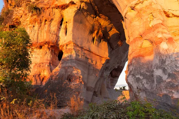
A Natural Arch In Jalapao State Park In The State Of Tocantins, Brazil
Image, 5.56MB, 3456 × 2304 jpg
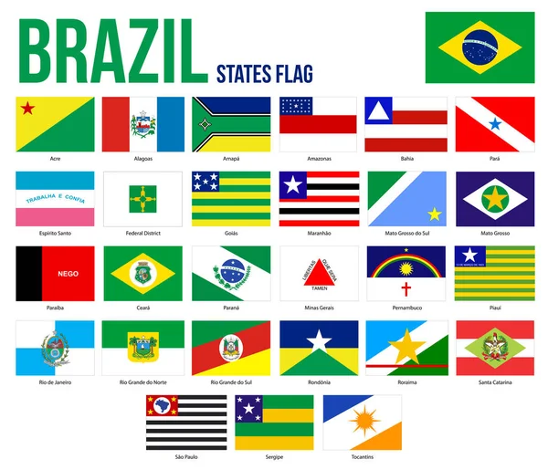
Brazil States Flag Collection Vector Illustration In Official Colors And Proportion
Vector, 2.86MB, 8301 × 7126 eps

Page 1 >> Next