
Stock image Town Planning page 2

A Beautiful Brunette Is Pointing Out The Flowchart On The Whiteboard With The Colourful Sketch Of City Development Concept.
Image, 15.15MB, 7602 × 6202 jpg


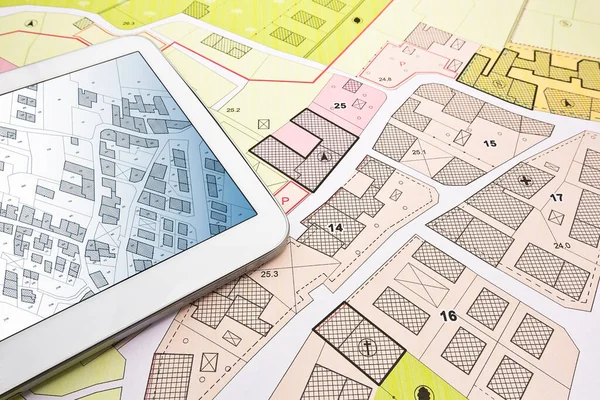
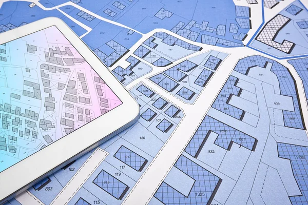
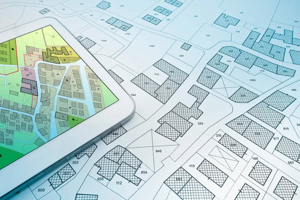
Buildings Permit Concept With Imaginary Cadastral On Digital Tablet - Building Activity And Construction Industry With General Urban Plan
Image, 15.55MB, 5760 × 3840 jpg

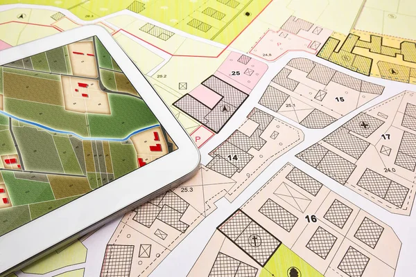
Buildings Permit Concept With Imaginary Cadastral On Digital Tablet - Building Activity And Construction Industry With General Urban Plan
Image, 10.71MB, 5760 × 3840 jpg
Buildings Permit Concept With Imaginary Cadastral On Digital Tablet - Building Activity And Construction Industry With General Urban Plan
Image, 17.49MB, 5760 × 3840 jpg
Buildings Permit Concept With Imaginary Cadastral On Digital Tablet - Building Activity And Construction Industry With General Urban Plan
Image, 12.16MB, 5760 × 3840 jpg

Buildings Permit Concept With Imaginary Cadastral On Digital Tablet - Building Activity And Construction Industry With General Urban Plan
Image, 12.16MB, 5760 × 3840 jpg


Traditional Facades Of Houses With Beautiful Wrought Iron Balconies Of The City Of Seville, Andalusia, Spain
Image, 14.56MB, 5472 × 3648 jpg


Niteroi, Rio De Janeiro, Brazil - CIRCA 2021: Photographic Record Of A Nocturnal Urban Landscape Taken In The City Of Niteroi-RJ. This City Belongs To The Metropolitan Region Of The Second Most Economically Active State In Southeastern Brazil.
Image, 15.37MB, 5945 × 3963 jpg
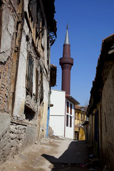
Fragment Of The Facade Of An Old Wooden House In The City Of Borovsk, Russia. Car Windows Mirrors For A Better View
Image, 11.45MB, 5184 × 3456 jpg
View Of A Beautiful Small Alpine Village With Many Vineyards Seen From Above And Framed By Leaves And Trees
Image, 7.92MB, 4224 × 2376 jpg


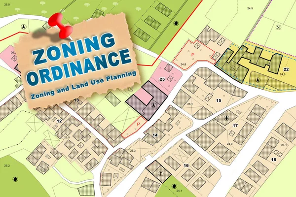
Imaginary Zoning Ordinance, General Urban Plan With Indications Of Urban Destinations With Buildings, Buildable Areas, Land Plot And Real Estate Land Property
Image, 7.76MB, 4752 × 3168 jpg
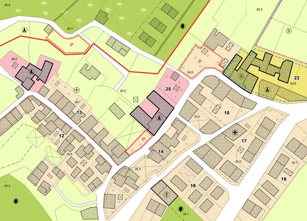
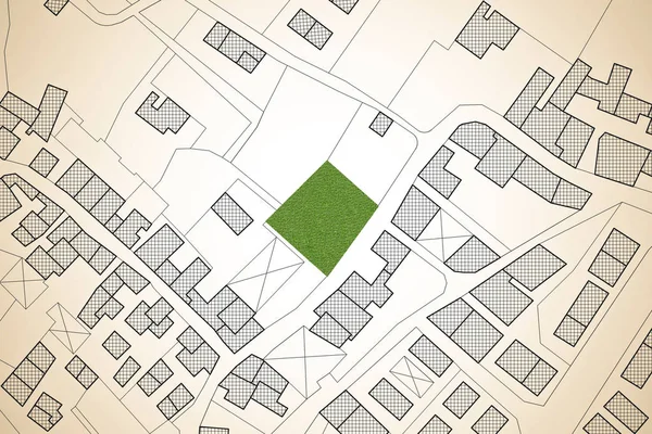
Imaginary General Urban Plan With Indications Of Urban Destinations With Buildings, Roads, Buildable Areas And Land Plot - Note: The Map Is Totally Invented And Does Not Represent Any Real Place
Image, 8.83MB, 5751 × 4147 jpg

The New Library Of The Bauhaus University In Weimar Next To An Old University Building.
Image, 0MB, 2706 × 1819 jpg

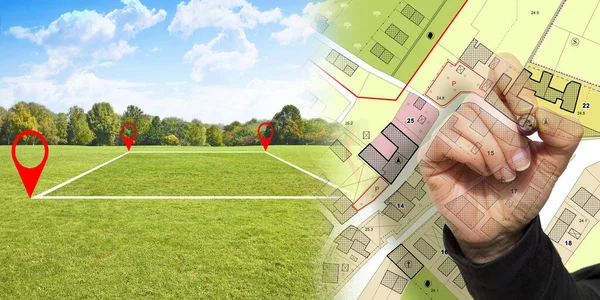
Land Plot Management - Real Estate Concept With A Vacant Land For Building Construction And Imaginary General Urban Plan With Indications Of Urban Destinations
Image, 17.59MB, 6336 × 3168 jpg
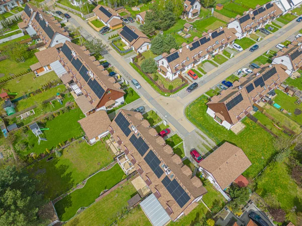


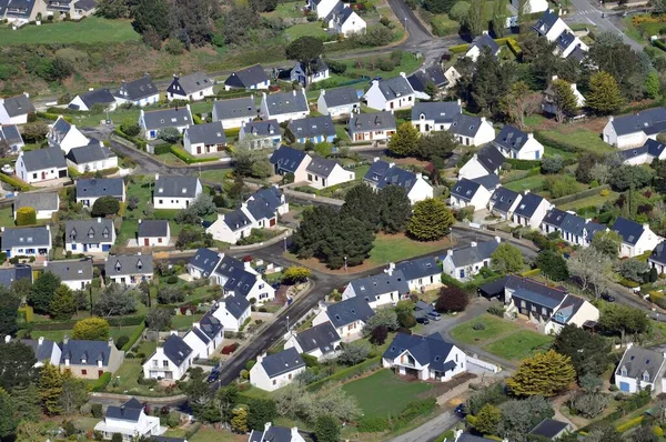
NEAR BRISTOL, ENGLAND - AUGUST 2019: Aerial View Of New Homes Near Bristol.
Image, 3.74MB, 5551 × 3005 jpg

3d Illustration Of Generic Building With Urban Scene Over Blueprint Background
Image, 1.56MB, 5000 × 3125 jpg


Imaginary Cadastral Map Of Territory With A Free Green Land Available For Building Construction. Concept Image
Image, 7.69MB, 4752 × 3168 jpg


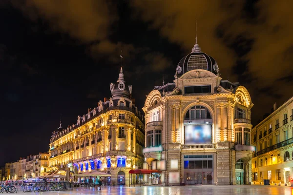
The Cinema, Place De La Comedie At Night In Montpellier, Herault, Languedoc In Occitanie, France
Image, 15.22MB, 6676 × 4456 jpg

Imaginary General Urban Plan With Indications Of Urban Destinations With Buildings, Roads, Buildable Areas And Land Plot - Problems And Solutions Concept In Jigsaw Puzzle Shape
Image, 9.33MB, 5484 × 3528 jpg
Previous << Page 2 >> Next