Home
Images
Vectors
Videos
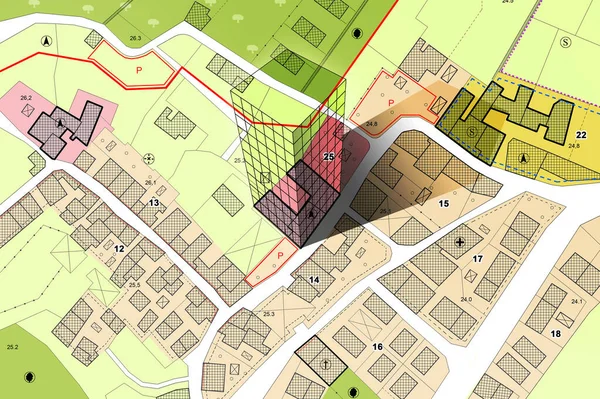
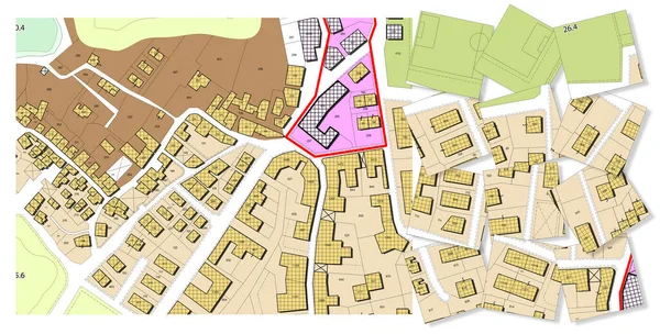
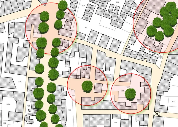
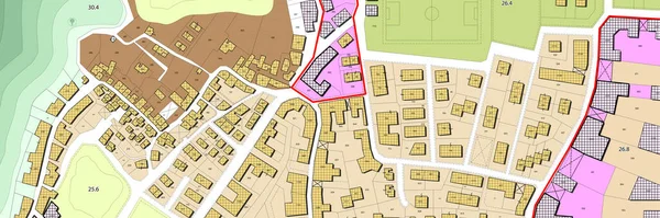
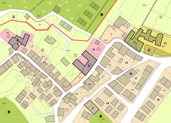
Stock image Imaginary General Urban Plan with indications of urban destinations with buildings, roads, buildable areas and land plot - note: the map is totally invented and does not represent any real place
Published:
Feb.15, 2022 14:47:13
Author:
Francescoscatena
Views:
61
Downloads:
20
File type:
image
/
jpg
File size:
8.83 MB
Orginal size:
5751
x
4147
px
Available sizes:
S
(500 x 361)
M
(1000 x 721)
L
(2000 x 1442)
XL
(5751 x 4147)
EL0
(5751 x 4147)
Level:
bronze
Download Image
Image topics:
Concepts
Ideas
Road
Concept
Architecture
Building
City
Urban
Home
Development
Planning
Information
Street
Project
Town
Map
Cartography
Plan
Land
Residence
Housing
Master
Destination
Survey
Town Planning
Urbanism
Zoning
Cadastre
Real Estate
Residential District
City Planning
Urban Planning
Master Plan
Urban Design
Masterplan
City Plan
Cadastral
Land Use
Land Registry
Development Plan
Land Plot
Buildable
Building Activity
Zoning Map
Land Register
Cadastral Survey
Zoning Plan
Zoning Regulation
Similar stock images
Imaginary Cadastral Map Of Territory With Building In The Center - Land Registry Concept Illustration - Note: The Map Background Is Totally Invented And Does Not Represent Any Real Place.
5284 × 3520
Imaginary General Urban Plan With Indications Of Urban Destinations With Buildings, Roads, Buildable Areas And Land Plot - Problems And Solutions Concept In Jigsaw Puzzle Shape
5484 × 3528
Imaginary General Urban Plan With Indications Of Urban Destinations With Buildings, Roads, Buildable Areas And Land Plot - Problems And Solutions Concept In Jigsaw Puzzle Shape
10000 × 5083
Imaginary Cadastre Map Of Territory With Buildings And Roads
8652 × 9881
Census Of Singol, Group Or Row Trees In Cities - Green Management And Tree Mapping Concept With Imaginary City Map With Highlighted Trees
5738 × 4110
Imaginary Cadastral Map Of Territory With Buildings, Roads And Land Parcel - Imaginary Cadastral Map Of Territory With Buildings, Roads And Land Parcel - Web Banner Design Concept
14000 × 4667