photo free
Home Images Vectors Videos

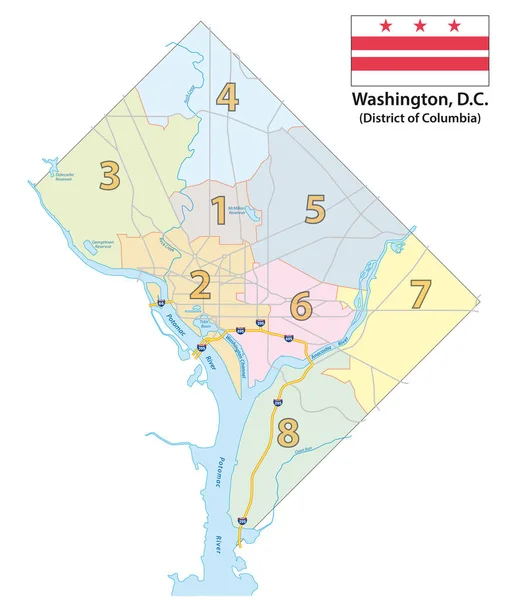
Stock image Vector Map Of Ward

stock vector Map of the Eight Districts of Washington DC with flag

Map Of The Eight Districts Of Washington DC With Flag

Vector, 1.07MB, 3100 × 3644 eps
stock vector Map of Washington DC Metropolitan Area is the metropolitan area based in Washington DC

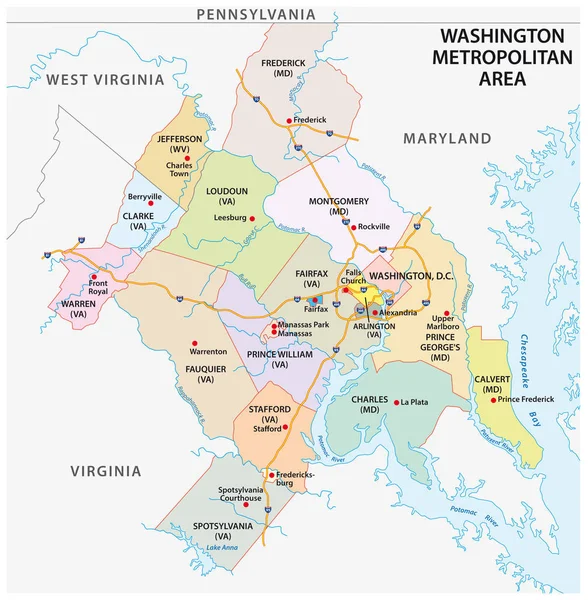
Map Of Washington DC Metropolitan Area Is The Metropolitan Area Based In Washington DC

Vector, 1.46MB, 3100 × 3158 eps
stock vector  road, administrative and political map of the Japanese city sapporo

Road, Administrative And Political Map Of The Japanese City Sapporo

Vector, 0.92MB, 3110 × 3866 eps
stock vector set coronavirus cells epidemic MERS-CoV virus floating influenza flu spreading of world concepts collection wuhan 2019-nCoV health risk full length vector illustration

Set Coronavirus Cells Epidemic MERS-CoV Virus Floating Influenza Flu Spreading Of World Concepts Collection Wuhan 2019-nCoV Health Risk Full Length Vector Illustration

Vector, 2.06MB, 7500 × 2315 eps
stock vector Outline of Monaco map

Outline Of Monaco Map

Vector, 1.47MB, 3655 × 4300 eps
stock vector Tokyo map

Tokyo Map

Vector, 0.54MB, 4519 × 4518 ai
stock vector Tokyo map

Tokyo Map

Vector, 0.51MB, 4529 × 4519 ai
stock vector North Dakota, U.S. state, subdivided into 53 counties, political map with borders and county names. State in the Upper Midwest region of the United States, nicknamed Peace Garden and Roughrider State.

North Dakota, U.S. State, Subdivided Into 53 Counties, Political Map With Borders And County Names. State In The Upper Midwest Region Of The United States, Nicknamed Peace Garden And Roughrider State.

Vector, 2.1MB, 9000 × 5648 eps
stock vector Isometric hospital building representing healthcare services and medical facility

Isometric Hospital Building Representing Healthcare Services And Medical Facility

Vector, 0.88MB, 5000 × 5000 eps
Page 1 >> Next