
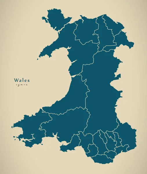
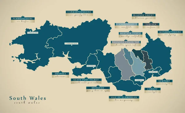
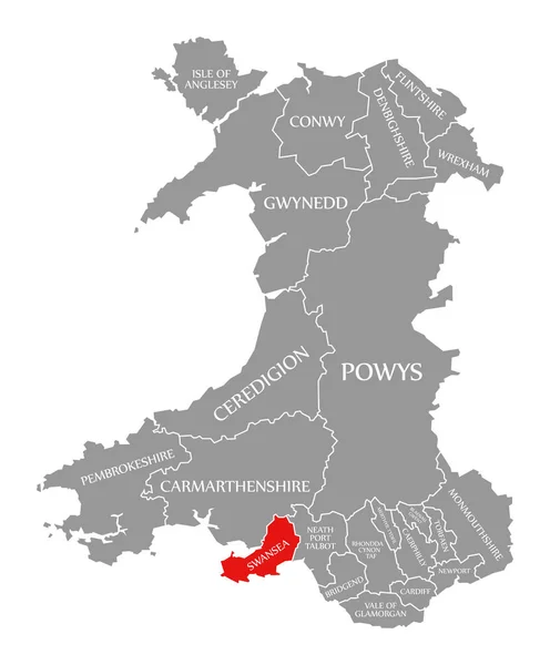
Stock image Wales And The Borders
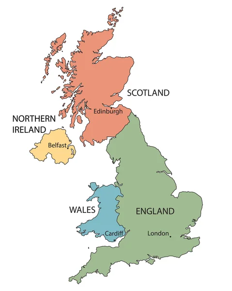
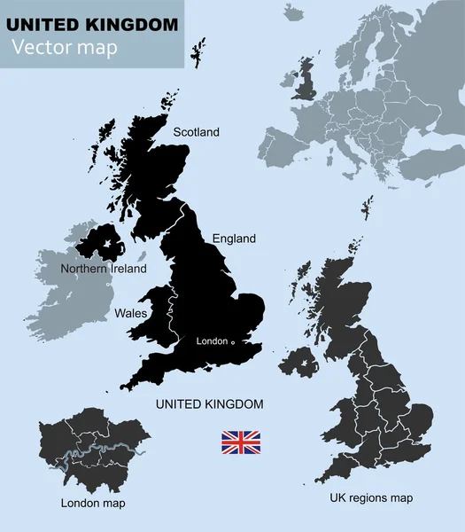
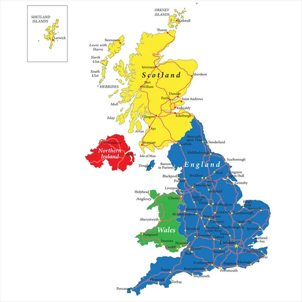
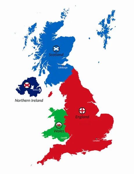
Colorful Map Of Countries Of United Kingdom With Indication Of Capital Cities
Vector, 2.54MB, 3600 × 4500 eps


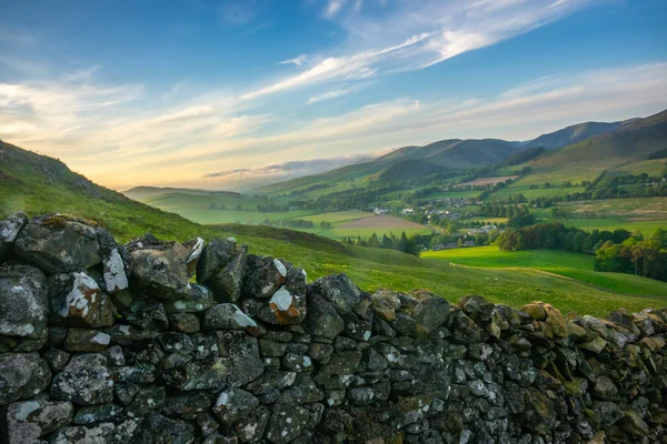
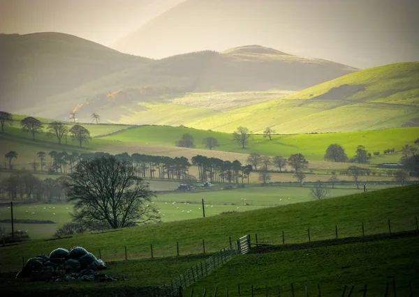
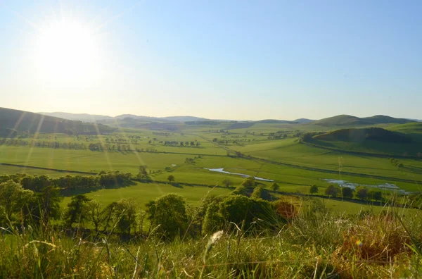
Landscape Of The Beautiful Rolling Scottish Borders Countryside At Sunset
Image, 11.95MB, 5472 × 3648 jpg


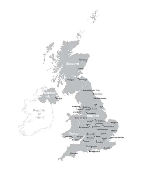
Highly Detailed Vector Map Of United Kingdom With Administrative Regions, Main Cities And Roads.
Vector, 1.98MB, 5000 × 5001 eps

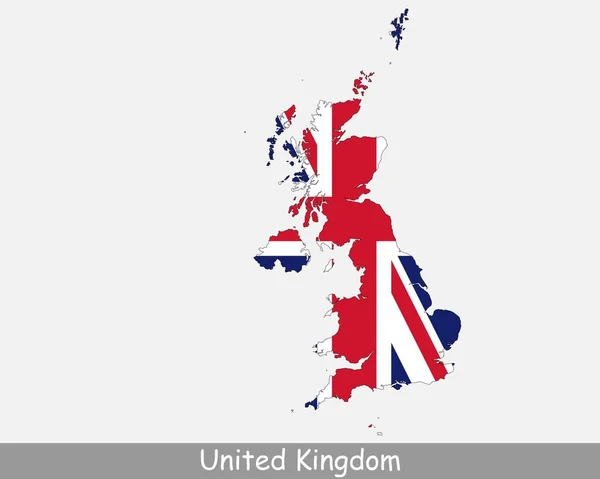
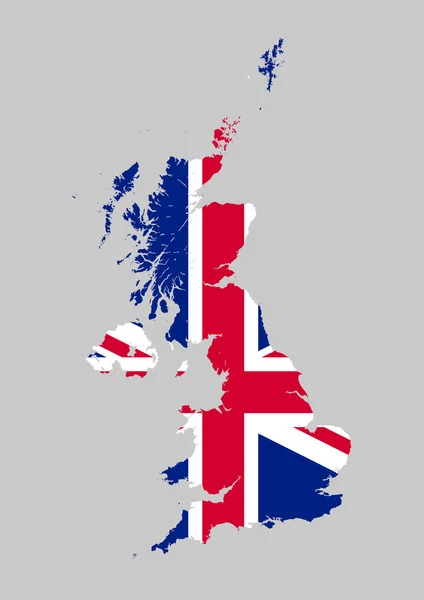
United Kingdom Flag Map. Map Of The United Kingdom Of Great Britain And Northern Ireland With The British National Union Jack Flag Isolated On A White Background. Vector Illustration.
Vector, 5.78MB, 5000 × 4000 eps


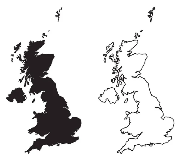
United Kingdom High Detailed Vector Map With Administrative Divisions Borders
Vector, 7.6MB, 5379 × 8333 eps
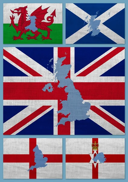
United Kingdom Map With Territories And Flags Of England, Scotland, Northern Ireland And Wales 3D Illustration
Image, 1.83MB, 5000 × 6500 jpg
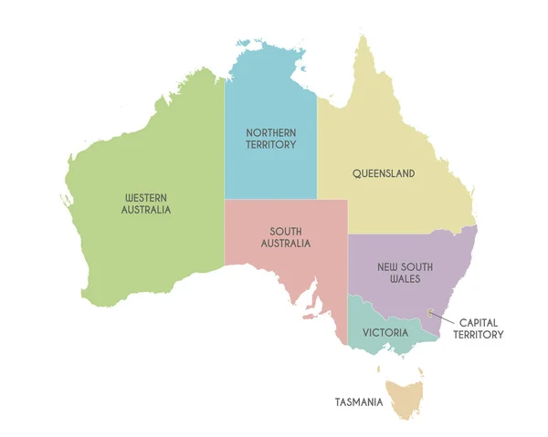
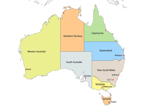
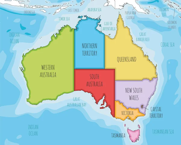
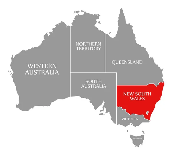
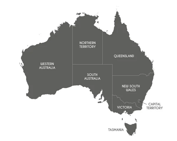
Vector Map Of Australia With Regions Or Territories And Administrative Divisions. Editable And Clearly Labeled Layers.
Vector, 2.44MB, 5000 × 4000 eps
Vector Illustrated Map Of Australia With Regions And Administrative Divisions, And Neighbouring Countries And Territories. Editable And Clearly Labeled Layers.
Vector, 4.86MB, 5000 × 4000 eps
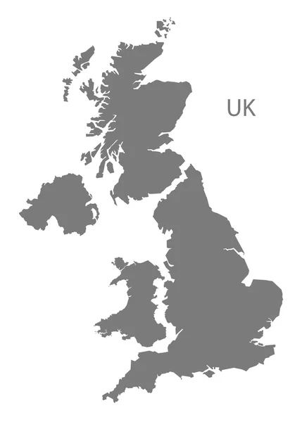
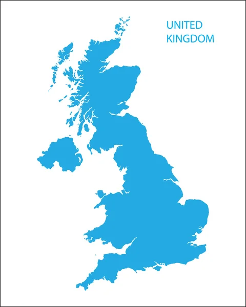
UNITED KINGDOM MAP With Big Cities, UK MAP With Borders On Grey Background
Vector, 3.92MB, 4167 × 5000 eps
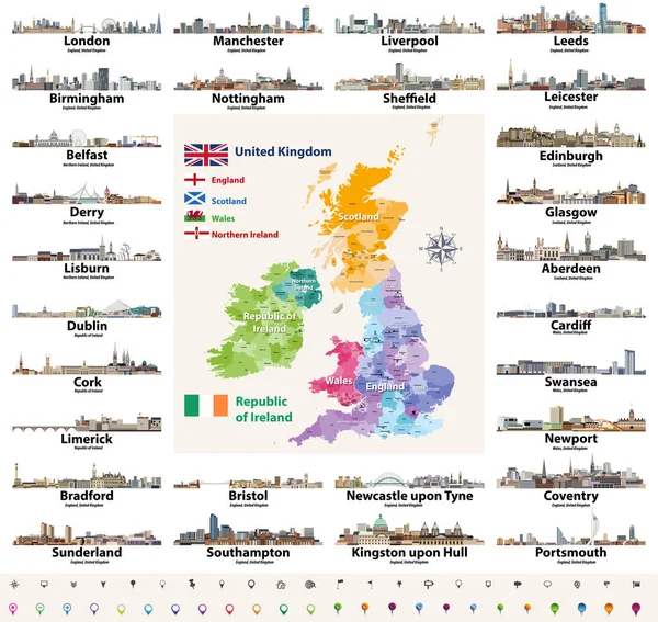
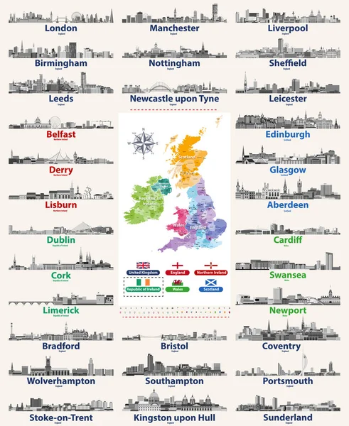
Vector Set Of British Isles Countries Cities Skylines Abstract Icons. Map And Flags Of British Isles: United Kingdom (England, Wales, Scotland, Northern Ireland) And Republic Of Ireland
Vector, 13.82MB, 8333 × 7874 eps

New South Wales Map Flag. Map Of NSW With State Flag Isolated On White Background. Australian State On The East Coast Of Australia. Vector Illustration
Vector, 5.59MB, 5000 × 4000 eps

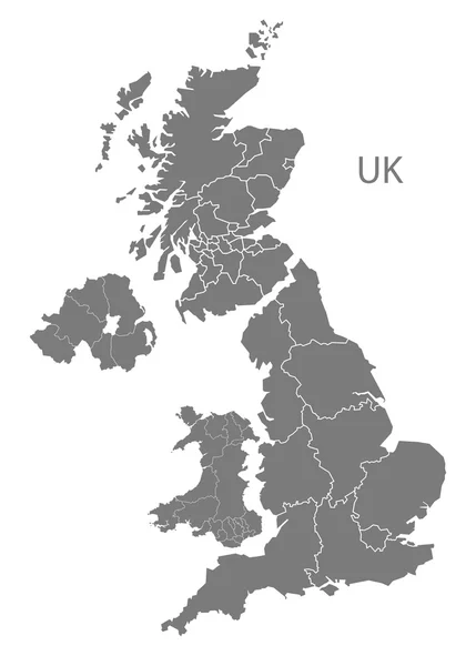
United Kingdom Administrative Districts Vector High Detailed Map Colored By Regions And Counties
Vector, 10MB, 5144 × 8333 eps


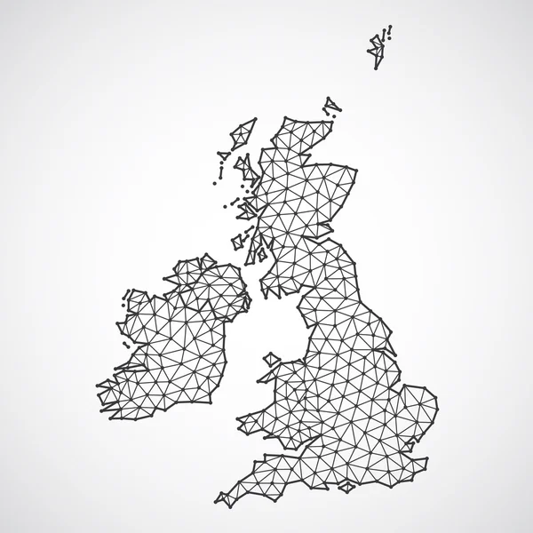
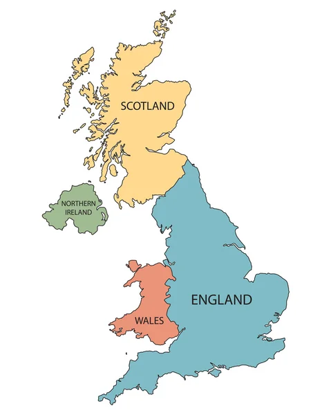
Polygonal British Islands Maps. Map Of United Kingdom And Ireland In Low Poly Style. Country Map In Geometric Style For Your Infographics
Vector, 0.81MB, 4000 × 4000 eps
Vector Set Of British Isles Countries Cities Skylines Icons In Black And White Color Palette. Flags And High Detailed Vector Map Of British Countries.
Vector, 13.32MB, 6824 × 8333 eps
Vector Map Of Australia With Regions Or Territories And Administrative Divisions. Editable And Clearly Labeled Layers.
Vector, 2.44MB, 5000 × 4000 eps

Page 1 >> Next