photo free
Home Images Vectors Videos

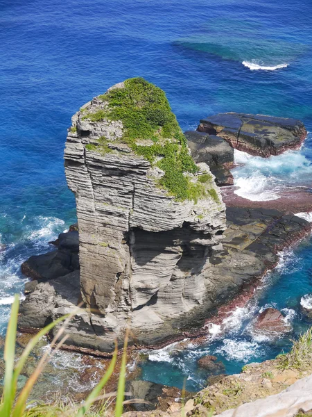
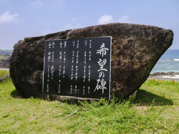
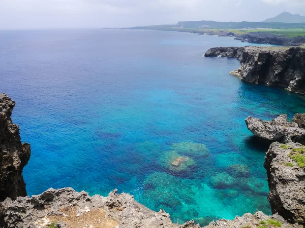
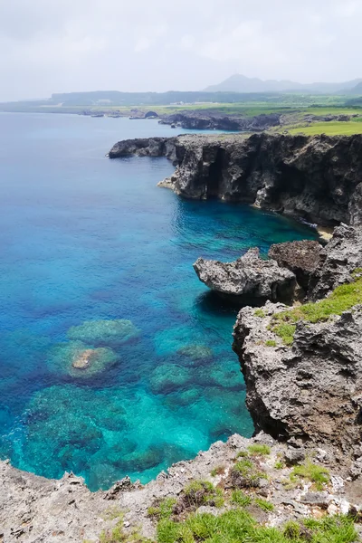
Stock image Yonaguni Island page 2

stock image horse in yonaguni island

Horse In Yonaguni Island

Image, 14.89MB, 5184 × 3888 jpg
stock image horse in yonaguni island

Horse In Yonaguni Island

Image, 13.42MB, 3888 × 5184 jpg
stock image Tategami Iwa in Yonaguni Island

Tategami Iwa In Yonaguni Island

Image, 11.7MB, 3448 × 4592 jpg
stock image Stone Monument of Dannu Beach

Stone Monument Of Dannu Beach

Image, 10.87MB, 4592 × 3448 jpg
stock image Cape Umahana in Yonaguni Island

Cape Umahana In Yonaguni Island

Image, 11.5MB, 4592 × 3448 jpg
stock image Beautiful seascape

Beautiful Seascape

Image, 9.15MB, 5040 × 3240 jpg
stock image Cape Umahana in Yonaguni Island, Japan

Cape Umahana In Yonaguni Island, Japan

Image, 8.33MB, 2943 × 4415 jpg
stock image Yonaguni Horse

Yonaguni Horse

Image, 6.94MB, 4592 × 3448 jpg
stock image Seascape perfection

Seascape Perfection

Image, 23.98MB, 7360 × 4912 jpg
stock image Seascape with blue waves

Seascape With Blue Waves

Image, 6.24MB, 4200 × 2800 jpg
stock image Paradise Beach, Japan

Paradise Beach, Japan

Image, 6.08MB, 3888 × 2592 jpg
stock image Seascape perfection

Seascape Perfection

Image, 13.16MB, 4912 × 5068 jpg
stock image Horses on Road - Yonaguni Island

Horses On Road - Yonaguni Island

Image, 10.03MB, 3888 × 2592 jpg
stock image Beautiful seascape

Beautiful Seascape

Image, 5.5MB, 5104 × 3344 jpg
stock image Seaside road in Yonaguni Island, Japan

Seaside Road In Yonaguni Island, Japan

Image, 9.24MB, 4573 × 3434 jpg
stock image Airport apron of Yonaguni Airport, Okinawa Japan

Airport Apron Of Yonaguni Airport, Okinawa Japan

Image, 4.57MB, 4407 × 3349 jpg
stock image Cow - Mother and Baby

Cow - Mother And Baby

Image, 6.37MB, 2592 × 3888 jpg
stock vector Taiwan Strait, political map. Important waterway and disputed international waters, separating the island of Taiwan and continental Asia, which connects the East China Sea and the South China Sea.

Taiwan Strait, Political Map. Important Waterway And Disputed International Waters, Separating The Island Of Taiwan And Continental Asia, Which Connects The East China Sea And The South China Sea.

Vector, 4.95MB, 6000 × 6000 eps
stock vector Taiwan Strait, gray political map. Important waterway and disputed international waters, separating the island of Taiwan and continental Asia, which connects the East China Sea and South China Sea.

Taiwan Strait, Gray Political Map. Important Waterway And Disputed International Waters, Separating The Island Of Taiwan And Continental Asia, Which Connects The East China Sea And South China Sea.

Vector, 3.5MB, 6000 × 6000 eps
Previous << Page 2 >> Next